Thomaston is a village in eastern Great Neck in the Town of North Hempstead in Nassau County, on the North Shore of Long Island, in New York, United States. The population was 2,617 at the 2010 census.
| Name: | Thomaston village |
|---|---|
| LSAD Code: | 47 |
| LSAD Description: | village (suffix) |
| State: | New York |
| County: | Nassau County |
| Incorporated: | October 1, 1931 |
| Elevation: | 197 ft (60 m) |
| Total Area: | 0.40 sq mi (1.05 km²) |
| Land Area: | 0.40 sq mi (1.05 km²) |
| Water Area: | 0.00 sq mi (0.00 km²) |
| Total Population: | 2,759 |
| Population Density: | 6,829.21/sq mi (2,638.99/km²) |
| ZIP code: | 11021 |
| Area code: | 516 |
| FIPS code: | 3673605 |
| GNISfeature ID: | 0967403 |
| Website: | www.villageofthomaston.org |
Online Interactive Map
Click on ![]() to view map in "full screen" mode.
to view map in "full screen" mode.
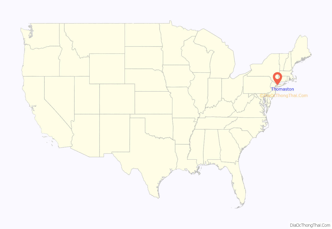
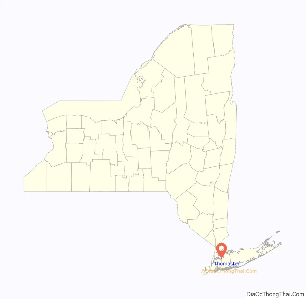
Thomaston location map. Where is Thomaston village?
History
Thomaston officially became a village on October 1, 1931, after the majority of residents voted in favor of incorporation to preserve home rule. Originally, the incorporation proposal included University Gardens and Russell Gardens. However, University Gardens chose not to be included in the proposal and Russell Gardens decided to incorporate itself separately around that time.
The founders of the Incorporated Village of Thomaston were John W. Weight, Hunter L. DeLatour, Ernest A. Gallagher, and Henry A. Singley.
Thomaston Village Hall was constructed in 1971 in order to provide for more efficient government operations and a permanent home for Thomaston’s government. It was designed by the Great Neck-based architectural firm of Blum & Nerzig.
Prior to Village Hall’s construction, meetings were typically held in the nearby firehouse and village records were stored in the homes of the Village Clerks.
Thomaston’s name
The name Thomaston has been used to describe the area since the middle part of the 19th Century. William R. Grace, a prominent local who would eventually become the Mayor of New York City, acquired a large area of land around the Long Island Rail Road’s Great Neck station; the land he acquired included all of present-day Great Neck Plaza. Grace named the area Thomaston after the ancestral home of his wife, Lillian Gilchrist, located in Maine.
At some point, that area’s name was changed to Great Neck Plaza, which would ultimately stick and become the name that village incorporated under in 1930.
When the area now known as Thomaston decided to incorporate itself as a village the next year, the residents chose to use this name for their new village since members of the Grace family continued to own land in the area.
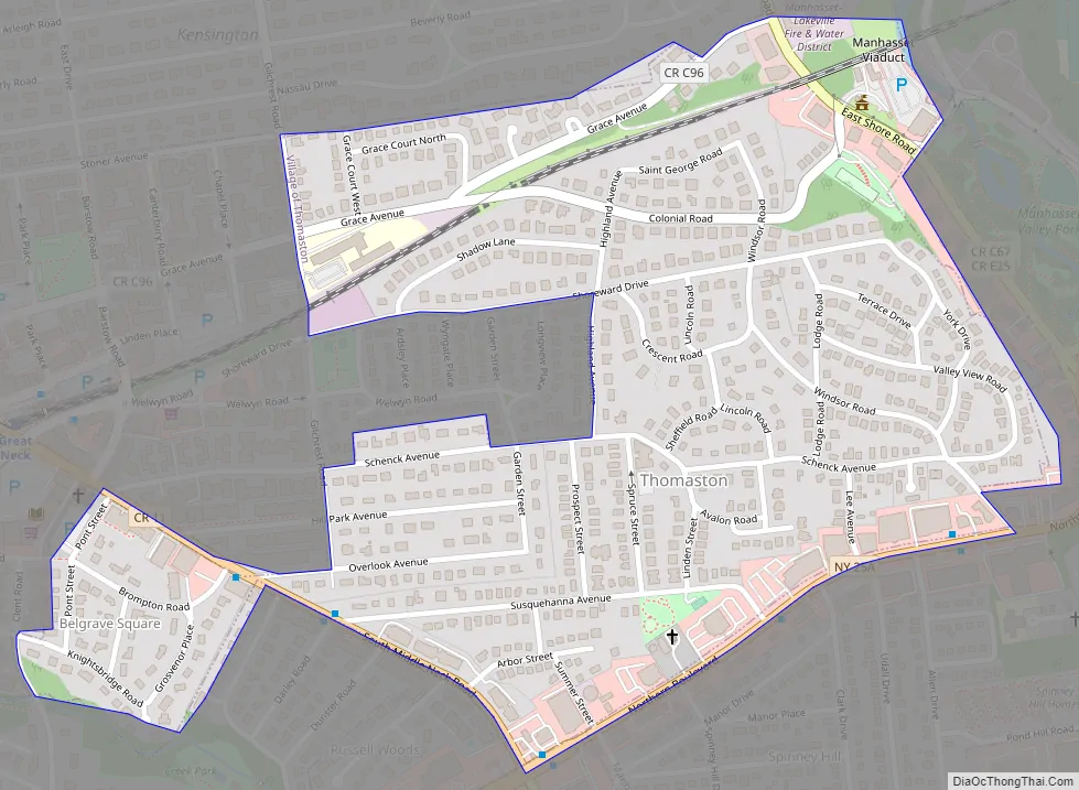
Thomaston Road Map
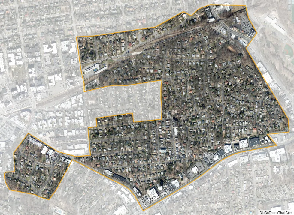
Thomaston city Satellite Map
Geography
According to the United States Census Bureau, the village has a total area of 0.4 square miles (1.0 km), all land.
See also
Map of New York State and its subdivision:- Albany
- Allegany
- Bronx
- Broome
- Cattaraugus
- Cayuga
- Chautauqua
- Chemung
- Chenango
- Clinton
- Columbia
- Cortland
- Delaware
- Dutchess
- Erie
- Essex
- Franklin
- Fulton
- Genesee
- Greene
- Hamilton
- Herkimer
- Jefferson
- Kings
- Lake Ontario
- Lewis
- Livingston
- Madison
- Monroe
- Montgomery
- Nassau
- New York
- Niagara
- Oneida
- Onondaga
- Ontario
- Orange
- Orleans
- Oswego
- Otsego
- Putnam
- Queens
- Rensselaer
- Richmond
- Rockland
- Saint Lawrence
- Saratoga
- Schenectady
- Schoharie
- Schuyler
- Seneca
- Steuben
- Suffolk
- Sullivan
- Tioga
- Tompkins
- Ulster
- Warren
- Washington
- Wayne
- Westchester
- Wyoming
- Yates
- Alabama
- Alaska
- Arizona
- Arkansas
- California
- Colorado
- Connecticut
- Delaware
- District of Columbia
- Florida
- Georgia
- Hawaii
- Idaho
- Illinois
- Indiana
- Iowa
- Kansas
- Kentucky
- Louisiana
- Maine
- Maryland
- Massachusetts
- Michigan
- Minnesota
- Mississippi
- Missouri
- Montana
- Nebraska
- Nevada
- New Hampshire
- New Jersey
- New Mexico
- New York
- North Carolina
- North Dakota
- Ohio
- Oklahoma
- Oregon
- Pennsylvania
- Rhode Island
- South Carolina
- South Dakota
- Tennessee
- Texas
- Utah
- Vermont
- Virginia
- Washington
- West Virginia
- Wisconsin
- Wyoming


