Trumansburg is a village in Tompkins County, New York, United States. The population was 1,797 at the 2010 census. The name incorporates a misspelling of the surname of the founder, Abner Treman. The Tremans spelled their surname several different ways; “Truman,” however, was not one of them. The village’s application for a post office established the present spelling. The Village of Trumansburg is located within the Town of Ulysses and is northwest of Ithaca, New York.
| Name: | Trumansburg village |
|---|---|
| LSAD Code: | 47 |
| LSAD Description: | village (suffix) |
| State: | New York |
| County: | Tompkins County |
| Incorporated: | 1872 (1872) |
| Elevation: | 965 ft (294 m) |
| Total Area: | 1.39 sq mi (3.60 km²) |
| Land Area: | 1.39 sq mi (3.59 km²) |
| Water Area: | 0.00 sq mi (0.01 km²) |
| Total Population: | 1,714 |
| Population Density: | 1,235.76/sq mi (477.06/km²) |
| ZIP code: | 14886 |
| Area code: | 607 |
| FIPS code: | 3675506 |
| GNISfeature ID: | 0974069 |
| Website: | www.trumansburg-ny.gov |
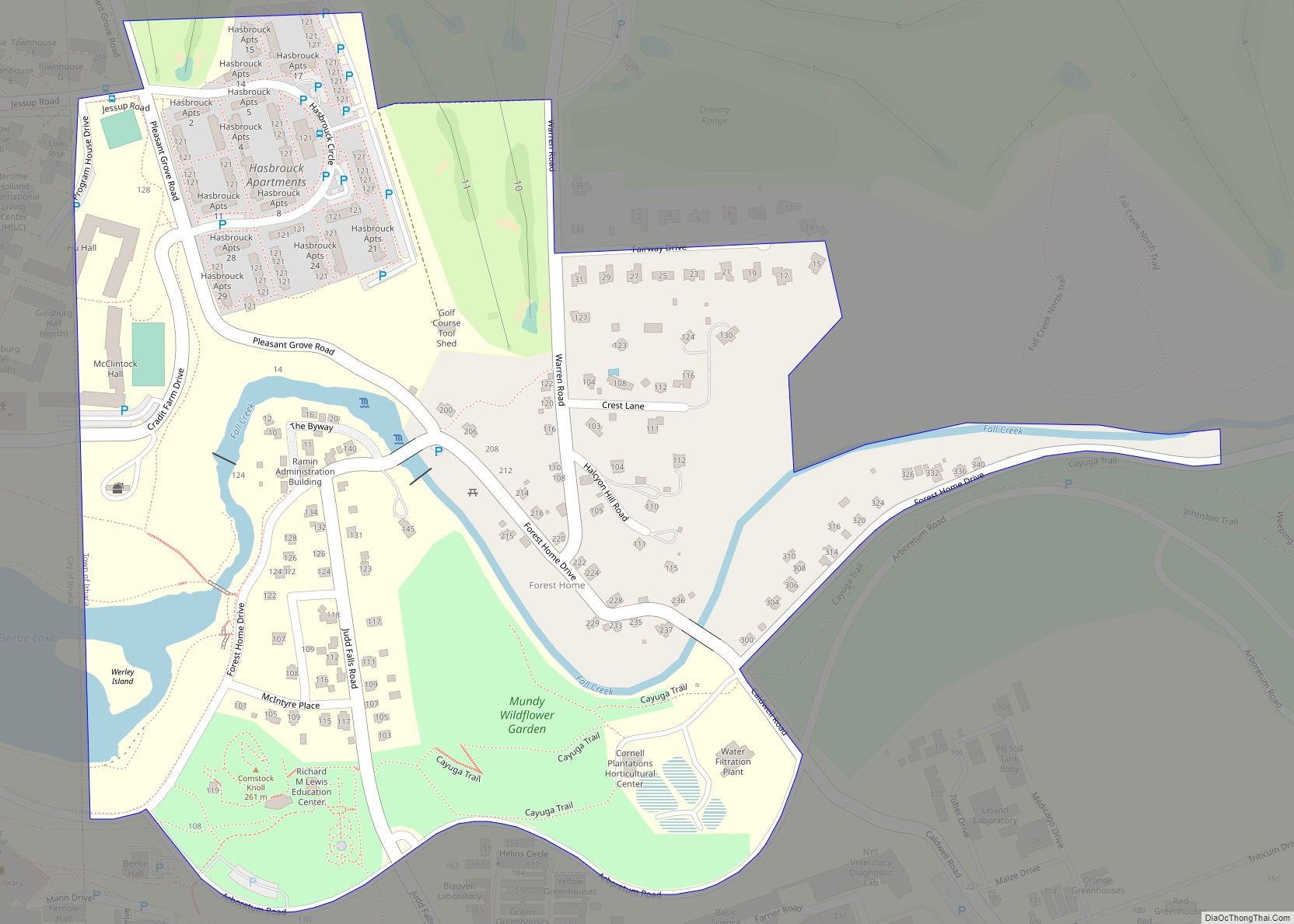
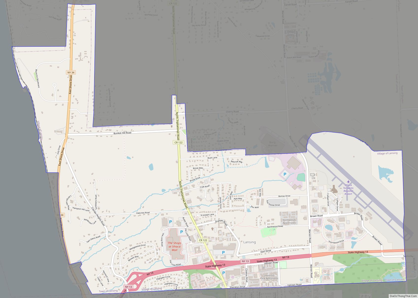
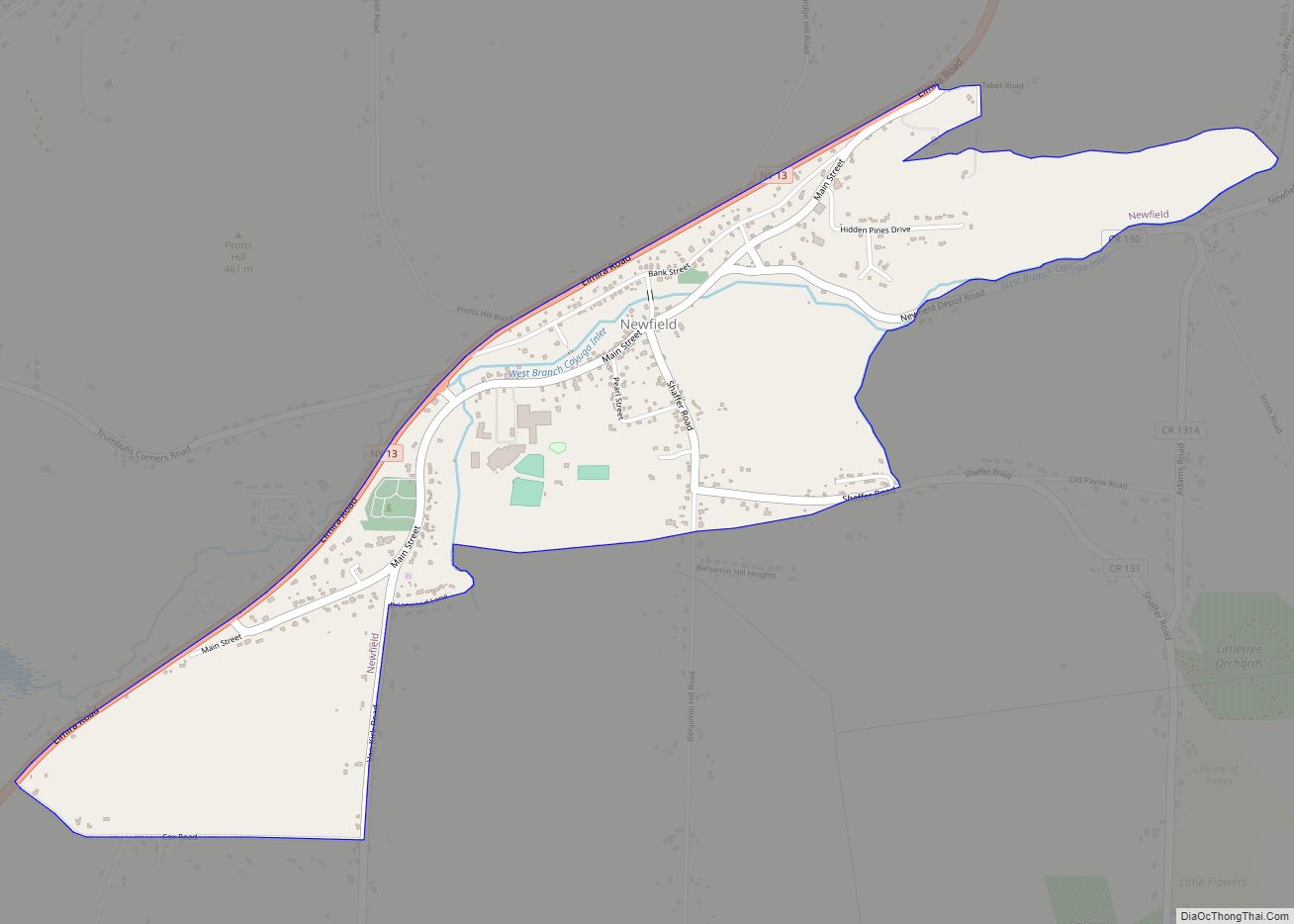
Online Interactive Map
Click on ![]() to view map in "full screen" mode.
to view map in "full screen" mode.
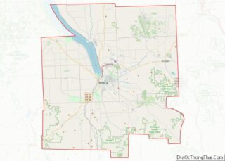
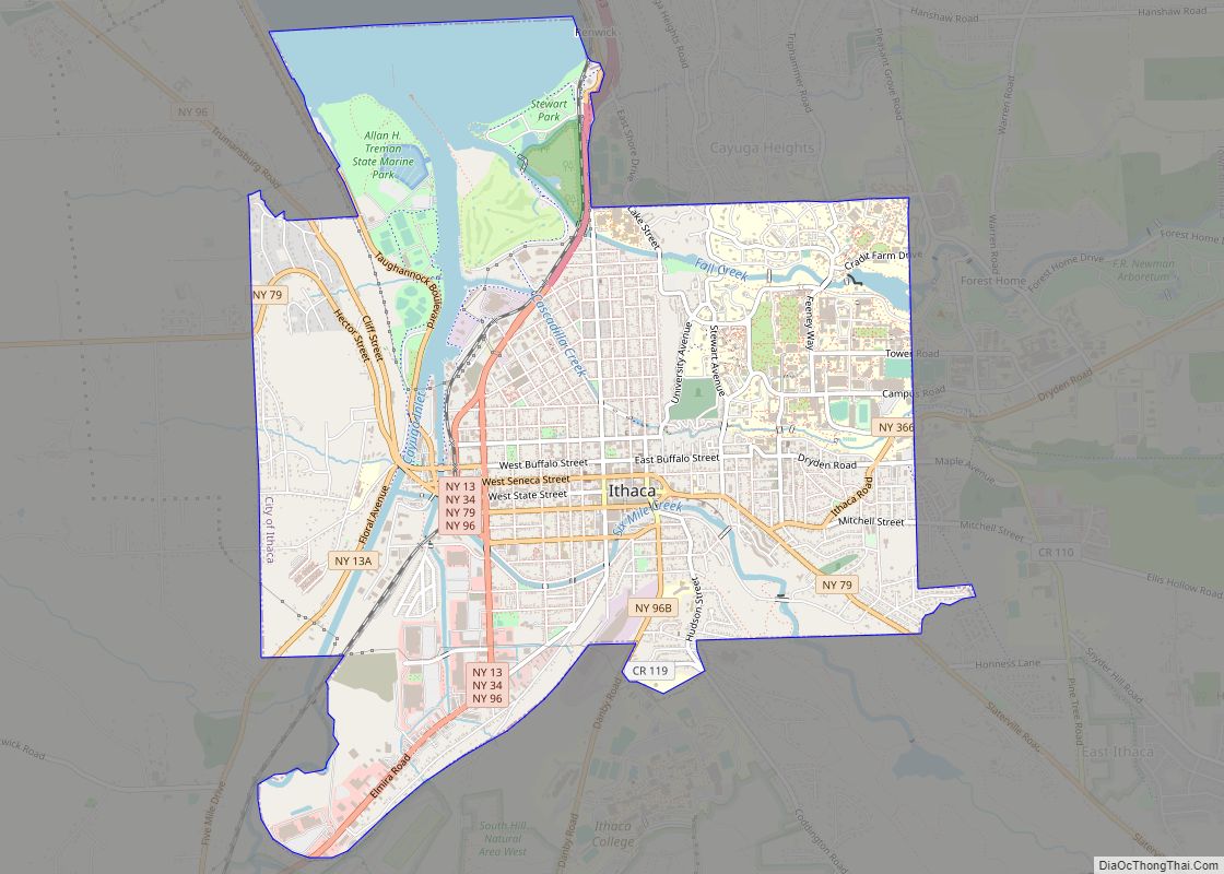
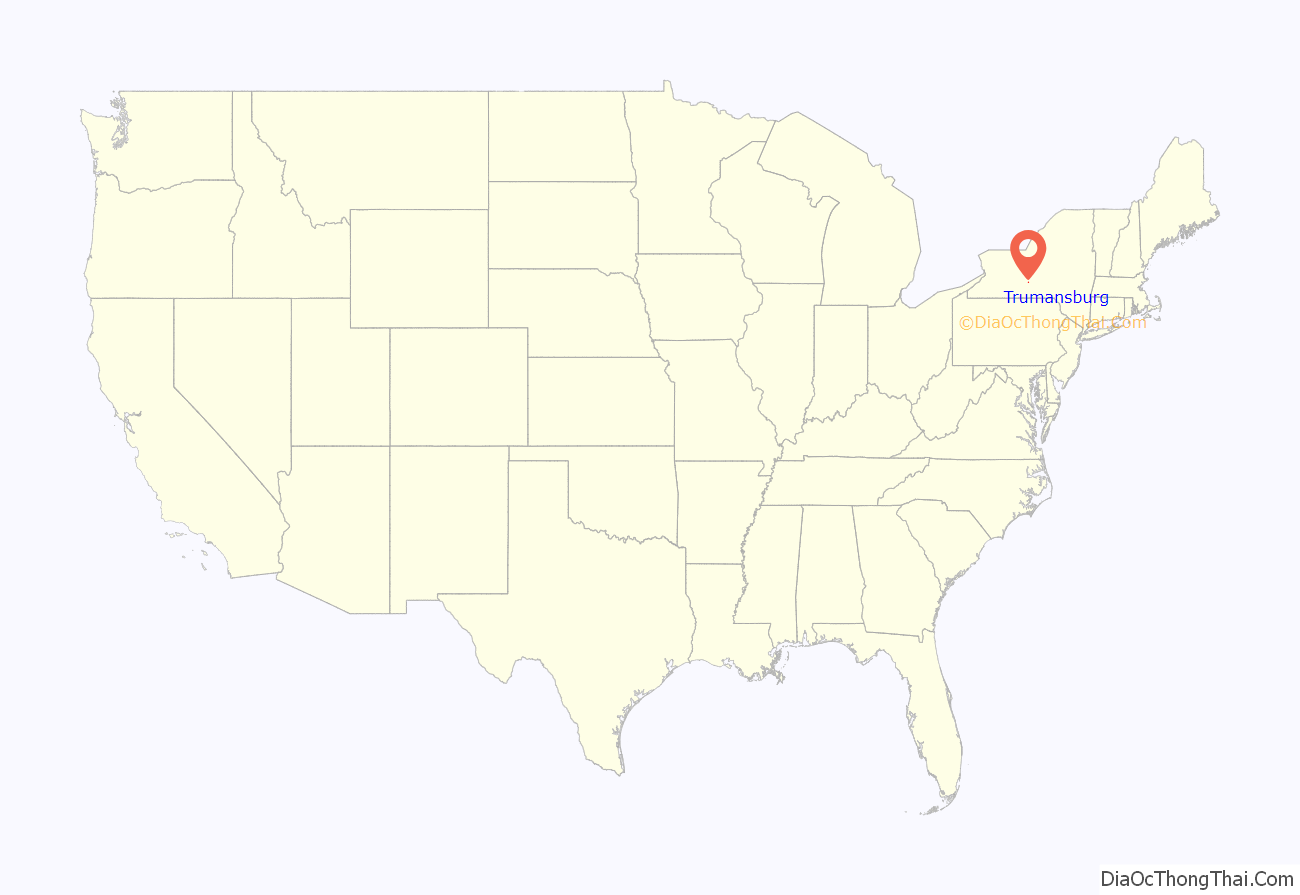
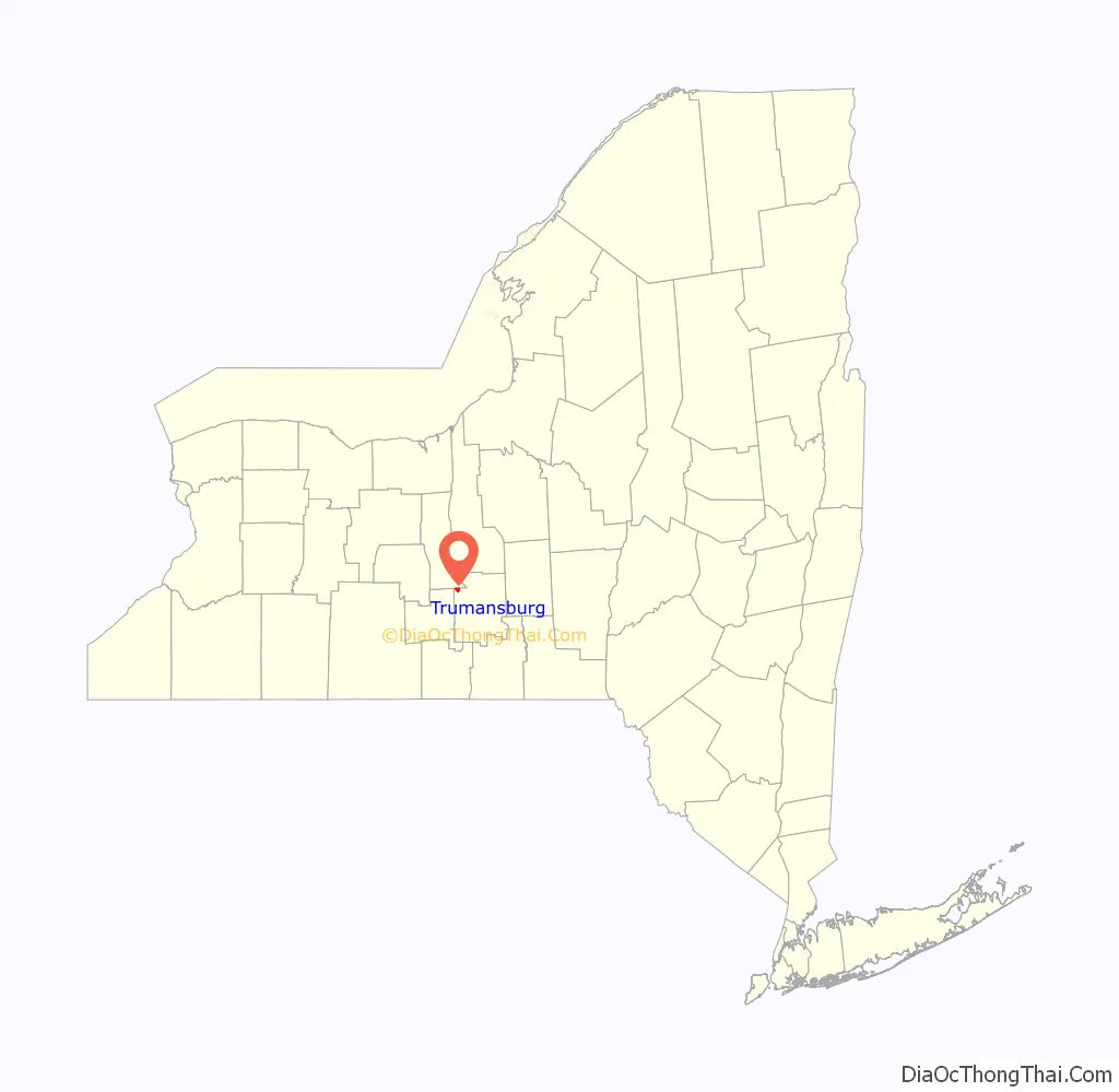
Trumansburg location map. Where is Trumansburg village?
History
The village was incorporated in 1872, in the former Central New York Military Tract. The village was originally named “Tremaine’s Village”, after an early settler, Abner Tremaine (Tremain, Treman), who was granted the land for his service in the American Revolutionary War. The village was built around a cascade on the creek that provided power for grain mills.
In the 19th century Trumansburg was dominated by Col. Hermon Camp, an officer in the War of 1812 who settled in what was to become the village. For many years he was the local postmaster, and founded a bank, now the Tompkins Trust Company, the largest bank in the county. His imposing and elegant Greek Revival style house remains the largest in the village. The Hermon Camp House was listed on the National Register of Historic Places in 1973. Also listed on the National Register of Historic Places are the First Presbyterian Church of Ulysses, William Austin House, Indian Fort Road Site, and Second Baptist Society of Ulysses.
In the latter half of the 20th century, as the quality of the road between Trumansburg and Ithaca improved and “country living” became more fashionable, the village became home to many faculty and staff at nearby Cornell University and Ithaca College, as well as many musicians. Between 1961 and 1970, Robert Moog built electronic music equipment including Theremins and his famous synthesizers in a downtown storefront.
From 2004 to 2007, the mayor was John R. Levine, the original author of The Internet for Dummies.
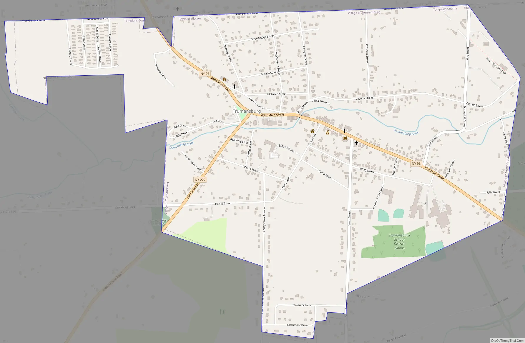
Trumansburg Road Map
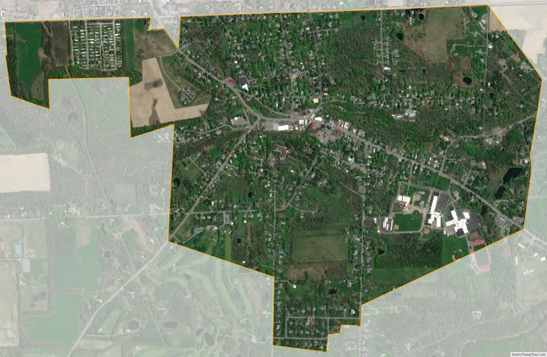
Trumansburg city Satellite Map
Geography
Trumansburg is located at 42°32′26″N 76°39′36″W / 42.54056°N 76.66000°W / 42.54056; -76.66000 (42.540447, -76.660121). According to the United States Census Bureau, the village has a total area of 1.2 square miles (3.1 km), of which, 1.2 square miles (3.1 km) of it is land and 0.83% is water. The village is located on the Trumansburg Creek (also known as Frontenac Creek) which arises on the ridge west of the village and empties into Cayuga Lake at Frontenac Point. Trumansburg is in the northern part of Tompkins County with its northern boundary bordering Seneca County. It is approximately 12 miles north of Ithaca, New York on the west side of Cayuga Lake. The scenic Taughannock Falls State Park, featuring one of the highest waterfalls east of the Rocky Mountains, is located just southeast of the village at the edge of Cayuga Lake.
Climate
Trumansburg has cold, snowy winters and enjoys warm, pleasant summers. The average annual temperature is 48 °F (9 °C), and the average annual precipitation is 36 inches (910 mm).
See also
Map of New York State and its subdivision:- Albany
- Allegany
- Bronx
- Broome
- Cattaraugus
- Cayuga
- Chautauqua
- Chemung
- Chenango
- Clinton
- Columbia
- Cortland
- Delaware
- Dutchess
- Erie
- Essex
- Franklin
- Fulton
- Genesee
- Greene
- Hamilton
- Herkimer
- Jefferson
- Kings
- Lake Ontario
- Lewis
- Livingston
- Madison
- Monroe
- Montgomery
- Nassau
- New York
- Niagara
- Oneida
- Onondaga
- Ontario
- Orange
- Orleans
- Oswego
- Otsego
- Putnam
- Queens
- Rensselaer
- Richmond
- Rockland
- Saint Lawrence
- Saratoga
- Schenectady
- Schoharie
- Schuyler
- Seneca
- Steuben
- Suffolk
- Sullivan
- Tioga
- Tompkins
- Ulster
- Warren
- Washington
- Wayne
- Westchester
- Wyoming
- Yates
- Alabama
- Alaska
- Arizona
- Arkansas
- California
- Colorado
- Connecticut
- Delaware
- District of Columbia
- Florida
- Georgia
- Hawaii
- Idaho
- Illinois
- Indiana
- Iowa
- Kansas
- Kentucky
- Louisiana
- Maine
- Maryland
- Massachusetts
- Michigan
- Minnesota
- Mississippi
- Missouri
- Montana
- Nebraska
- Nevada
- New Hampshire
- New Jersey
- New Mexico
- New York
- North Carolina
- North Dakota
- Ohio
- Oklahoma
- Oregon
- Pennsylvania
- Rhode Island
- South Carolina
- South Dakota
- Tennessee
- Texas
- Utah
- Vermont
- Virginia
- Washington
- West Virginia
- Wisconsin
- Wyoming