Tuscarora is a hamlet and census-designated place in the town of Mount Morris, Livingston County, New York, United States. Its population was 74 as of the 2010 census.
| Name: | Tuscarora CDP |
|---|---|
| LSAD Code: | 57 |
| LSAD Description: | CDP (suffix) |
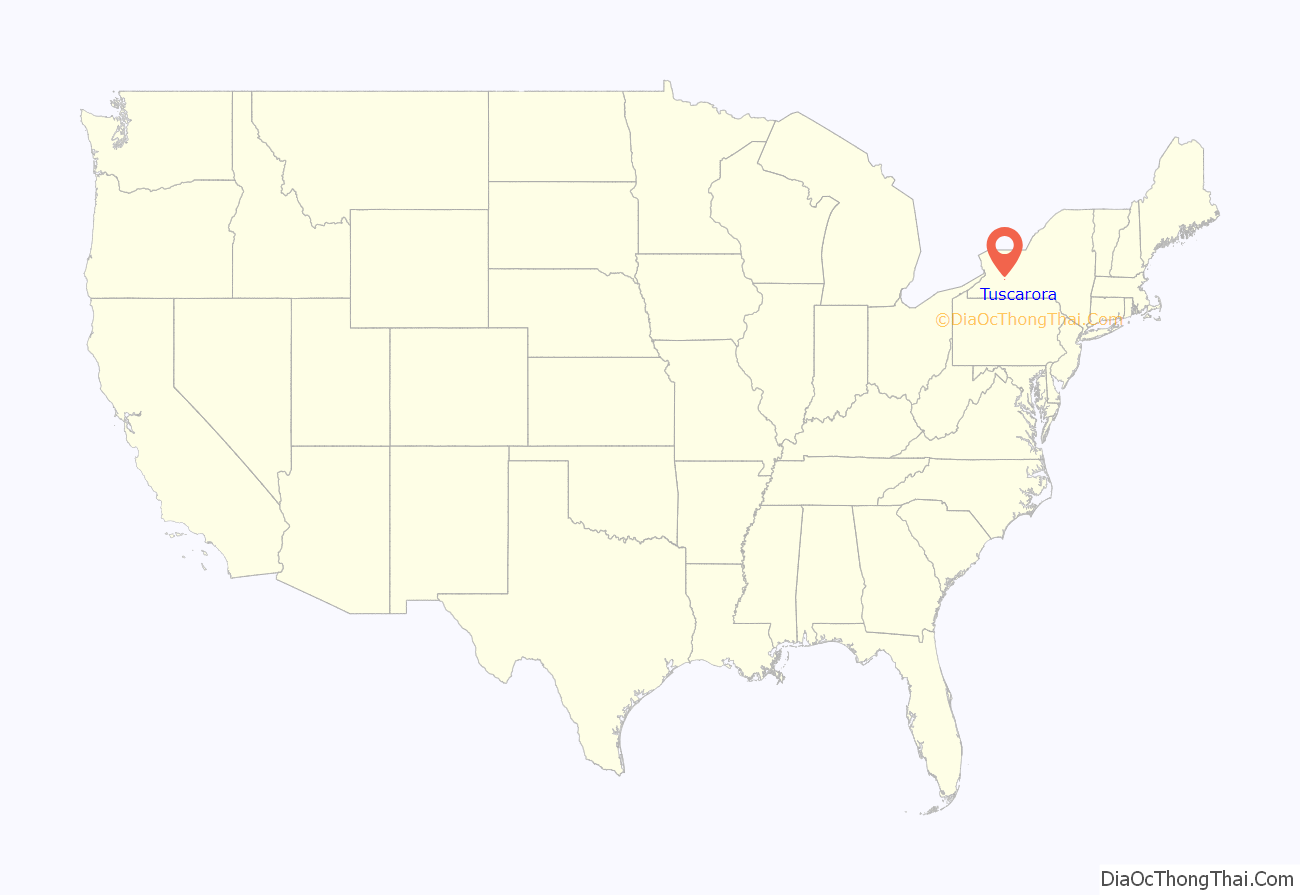
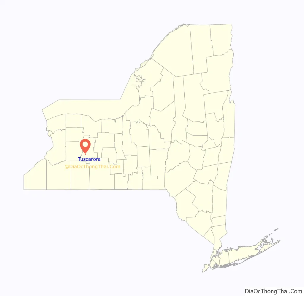
| State: | New York |
| County: | Livingston County |
| Elevation: | 750 ft (230 m) |
| Total Area: | 0.09 sq mi (0.24 km²) |
| Land Area: | 0.09 sq mi (0.24 km²) |
| Water Area: | 0.00 sq mi (0.00 km²) |
| Total Population: | 71 |
| Population Density: | 763.44/sq mi (294.58/km²) |
| ZIP code: | 14510 (Mount Morris) |
| Area code: | 585 |
| FIPS code: | 3675726 |
| GNISfeature ID: | 967991 |
Online Interactive Map
Click on ![]() to view map in "full screen" mode.
to view map in "full screen" mode.
Tuscarora location map. Where is Tuscarora CDP?
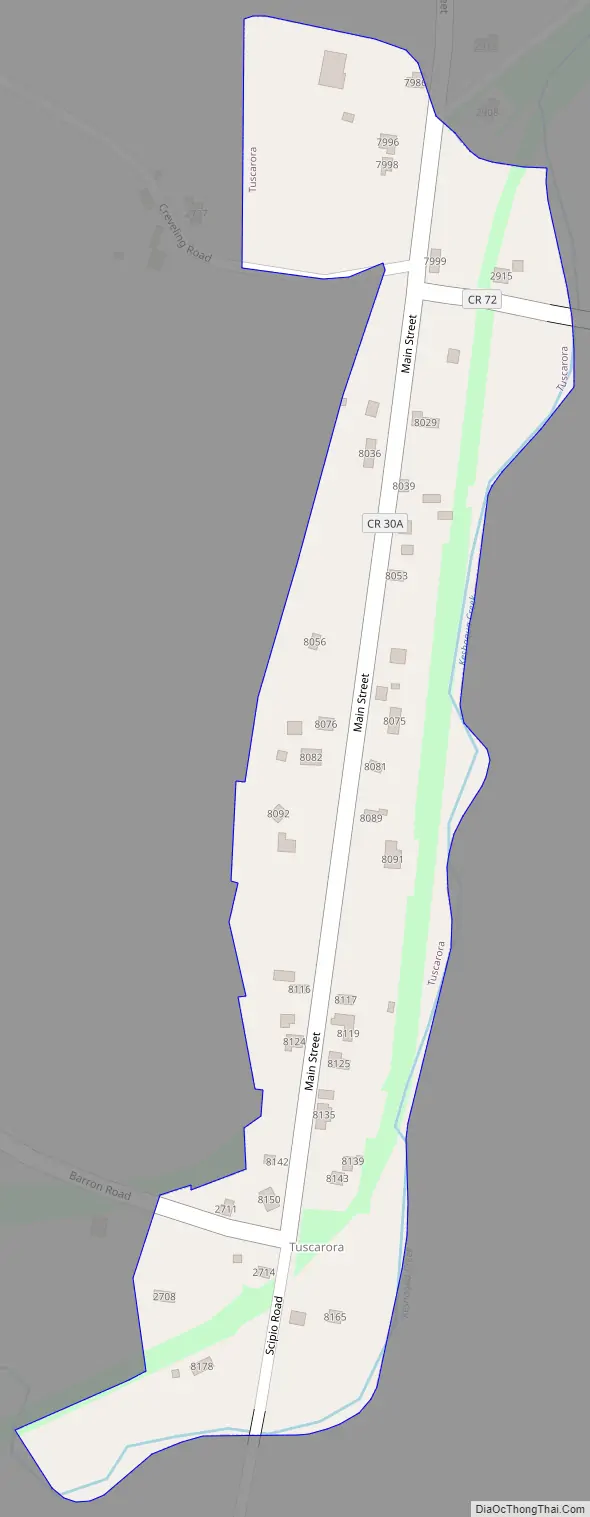
Tuscarora Road Map
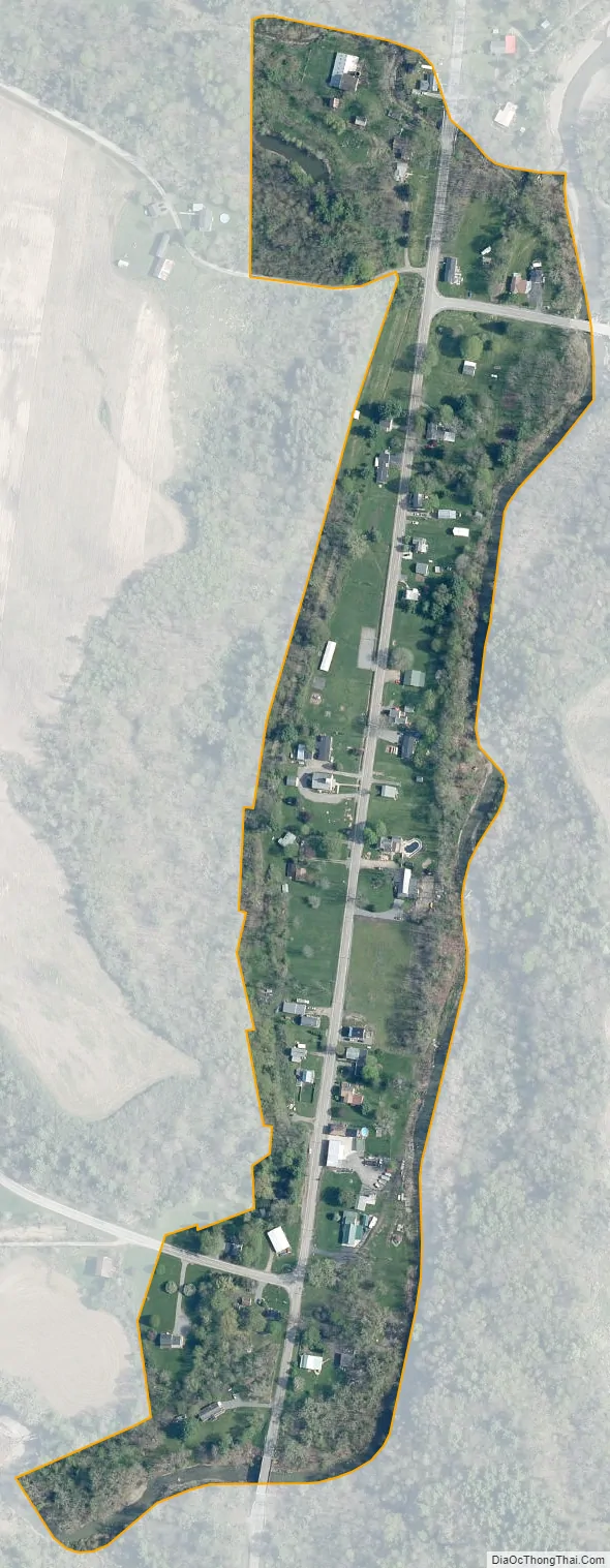
Tuscarora city Satellite Map
Geography
Tuscarora is in southwestern Livingston County, in the southeast part of the town of Mount Morris. It is in the valley of Keshequa Creek, a northeast-flowing tributary of Canaseraga Creek and part of the Genesee River watershed. It is 7 miles (11 km) south of the village of Mount Morris, 13 miles (21 km) south-southwest of Geneseo, the Livingston county seat, and 12 miles (19 km) northwest of Dansville.
According to the U.S. Census Bureau, the Tuscarora CDP has an area of 0.09 square miles (0.24 km), all land.
The First Presbyterian Church of Tuscarora, built circa 1844, is a historic church in the center of the hamlet. It is the last surviving public building from Tuscarora’s brief early to mid-19th century commercial prosperity related to its location on the Genesee Valley Canal.
See also
Map of New York State and its subdivision:- Albany
- Allegany
- Bronx
- Broome
- Cattaraugus
- Cayuga
- Chautauqua
- Chemung
- Chenango
- Clinton
- Columbia
- Cortland
- Delaware
- Dutchess
- Erie
- Essex
- Franklin
- Fulton
- Genesee
- Greene
- Hamilton
- Herkimer
- Jefferson
- Kings
- Lake Ontario
- Lewis
- Livingston
- Madison
- Monroe
- Montgomery
- Nassau
- New York
- Niagara
- Oneida
- Onondaga
- Ontario
- Orange
- Orleans
- Oswego
- Otsego
- Putnam
- Queens
- Rensselaer
- Richmond
- Rockland
- Saint Lawrence
- Saratoga
- Schenectady
- Schoharie
- Schuyler
- Seneca
- Steuben
- Suffolk
- Sullivan
- Tioga
- Tompkins
- Ulster
- Warren
- Washington
- Wayne
- Westchester
- Wyoming
- Yates
- Alabama
- Alaska
- Arizona
- Arkansas
- California
- Colorado
- Connecticut
- Delaware
- District of Columbia
- Florida
- Georgia
- Hawaii
- Idaho
- Illinois
- Indiana
- Iowa
- Kansas
- Kentucky
- Louisiana
- Maine
- Maryland
- Massachusetts
- Michigan
- Minnesota
- Mississippi
- Missouri
- Montana
- Nebraska
- Nevada
- New Hampshire
- New Jersey
- New Mexico
- New York
- North Carolina
- North Dakota
- Ohio
- Oklahoma
- Oregon
- Pennsylvania
- Rhode Island
- South Carolina
- South Dakota
- Tennessee
- Texas
- Utah
- Vermont
- Virginia
- Washington
- West Virginia
- Wisconsin
- Wyoming


