University Gardens (also known as Lakeville) is a hamlet and a census-designated place (CDP) in Nassau County, on the North Shore of Long Island, in New York, United States. It is located within the Town of North Hempstead and is part of the Greater Great Neck area. The population was 4,358 at the time of the 2020 census.
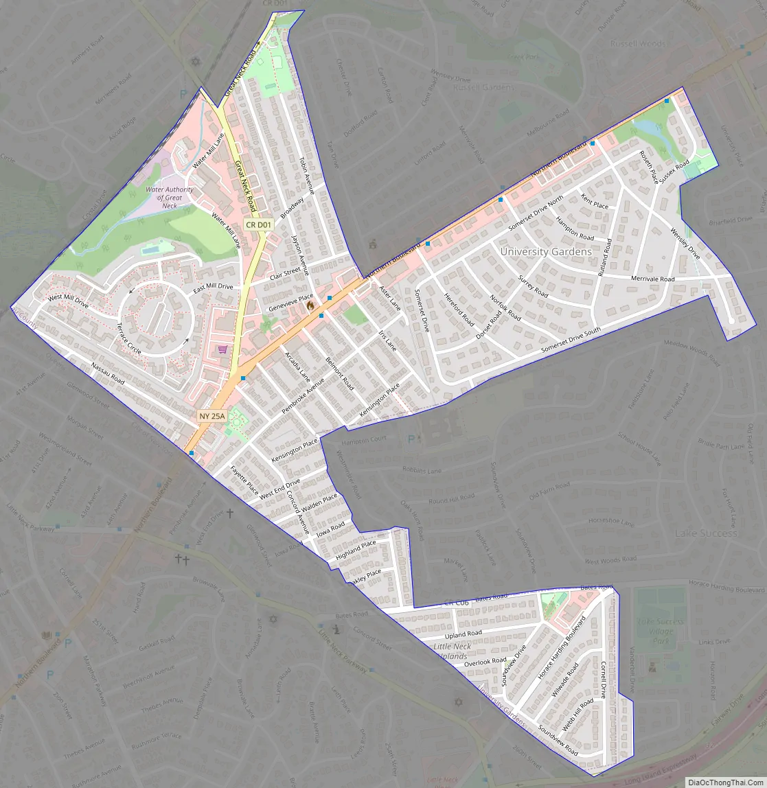
The University Gardens CDP includes the University Gardens subdivision and the other unincorporated areas between it and the Nassau/Queens line, including Great Neck Terrace.
| Name: | University Gardens CDP |
|---|---|
| LSAD Code: | 57 |
| LSAD Description: | CDP (suffix) |
| State: | New York |
| County: | Nassau County |
| Elevation: | 148 ft (45 m) |
| Total Area: | 0.53 sq mi (1.38 km²) |
| Land Area: | 0.53 sq mi (1.38 km²) |
| Water Area: | 0.00 sq mi (0.00 km²) |
| Total Population: | 4,358 |
| Population Density: | 8,207.16/sq mi (3,168.43/km²) |
| ZIP code: | 11020, 11021 |
| Area code: | 516 |
| FIPS code: | 3676287 |
| GNISfeature ID: | 0968249 |
Online Interactive Map
Click on ![]() to view map in "full screen" mode.
to view map in "full screen" mode.
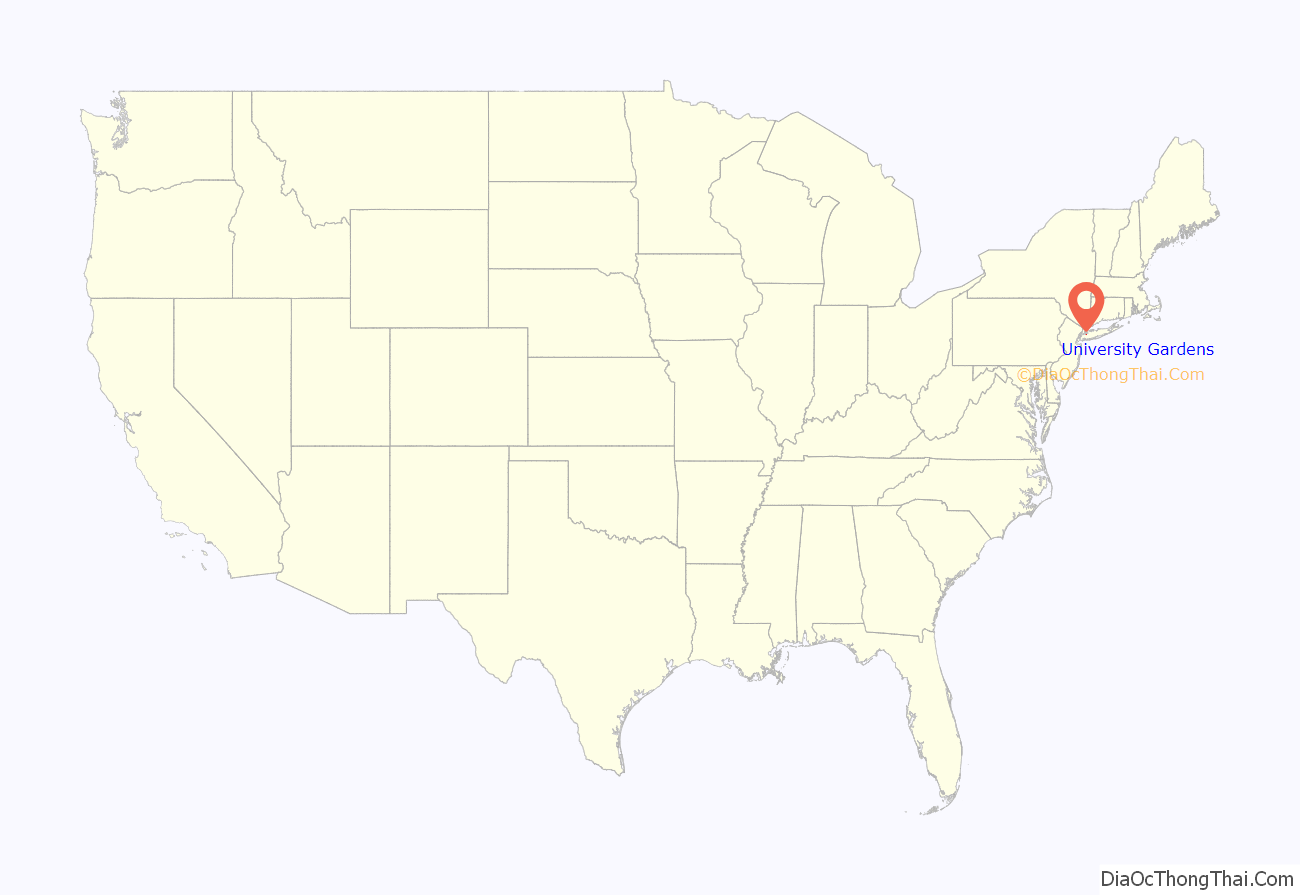
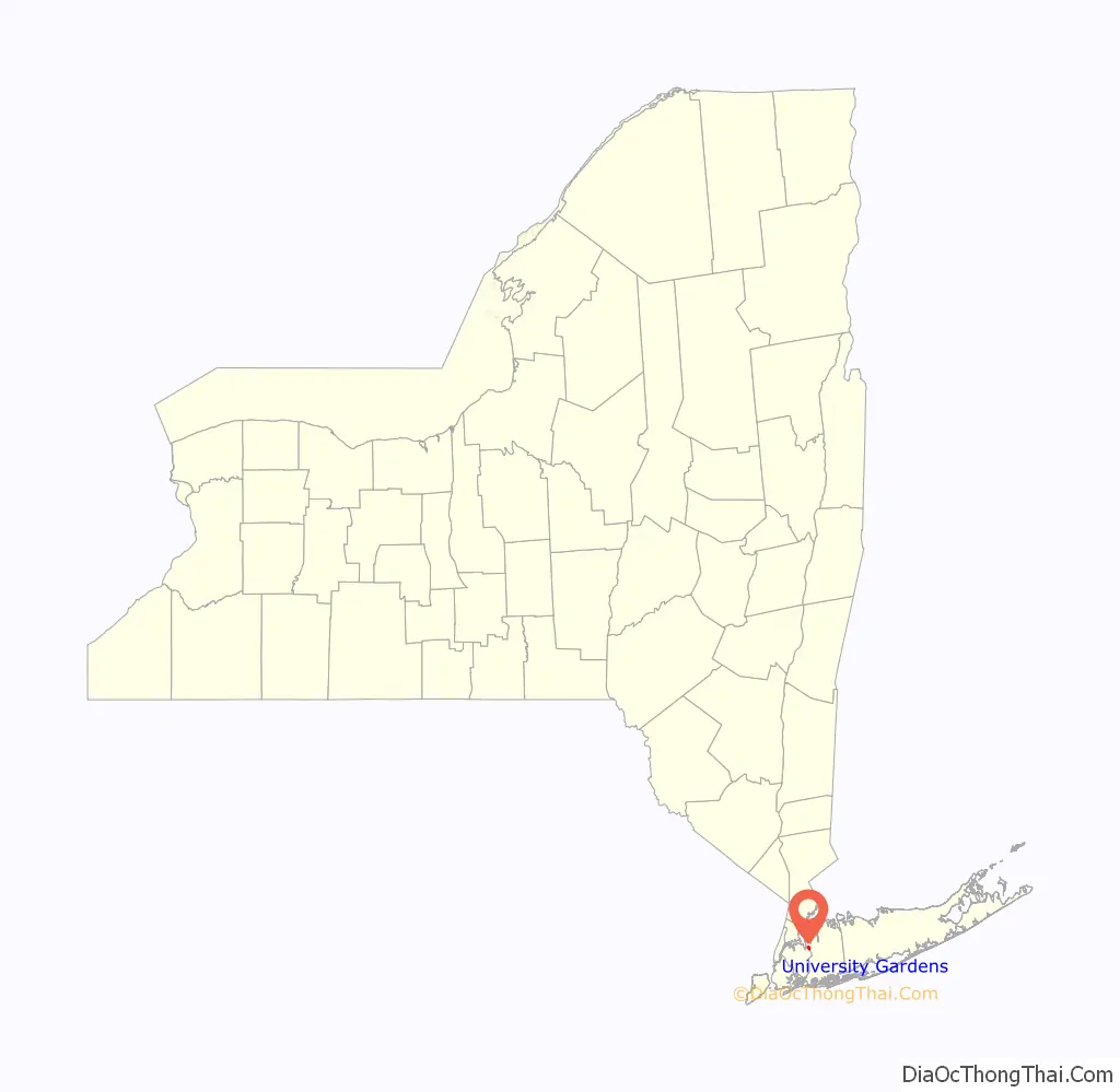
University Gardens location map. Where is University Gardens CDP?
History
The University Gardens subdivision within the greater, eponymous CDP is a distinct community founded in 1927 and operates under a set of covenants recorded with its 218 homes and 17 commercial properties under the auspices of the University Gardens Property Owners Association, Inc.; it is located in the northeastern portion of the CDP.
The name of the CDP, which as aforementioned is named for the smaller, eponymous subdivision, derives from the fact that the land which the subdivision is located on was purchased from and built atop the short-lived University Golf Club, and because Russell Gardens, located across Northern Boulevard, was being developed around the same time.
As such, the “University” part of its name comes from the golf club and the “Gardens” part of its name comes from Russell Gardens.
University Gardens Road Map
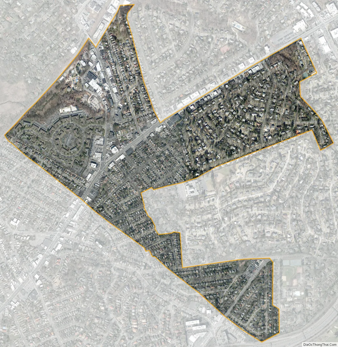
University Gardens city Satellite Map
Geography
According to the United States Census Bureau, the CDP has a total area of 0.6 square miles (1.6 km), all land.
See also
Map of New York State and its subdivision:- Albany
- Allegany
- Bronx
- Broome
- Cattaraugus
- Cayuga
- Chautauqua
- Chemung
- Chenango
- Clinton
- Columbia
- Cortland
- Delaware
- Dutchess
- Erie
- Essex
- Franklin
- Fulton
- Genesee
- Greene
- Hamilton
- Herkimer
- Jefferson
- Kings
- Lake Ontario
- Lewis
- Livingston
- Madison
- Monroe
- Montgomery
- Nassau
- New York
- Niagara
- Oneida
- Onondaga
- Ontario
- Orange
- Orleans
- Oswego
- Otsego
- Putnam
- Queens
- Rensselaer
- Richmond
- Rockland
- Saint Lawrence
- Saratoga
- Schenectady
- Schoharie
- Schuyler
- Seneca
- Steuben
- Suffolk
- Sullivan
- Tioga
- Tompkins
- Ulster
- Warren
- Washington
- Wayne
- Westchester
- Wyoming
- Yates
- Alabama
- Alaska
- Arizona
- Arkansas
- California
- Colorado
- Connecticut
- Delaware
- District of Columbia
- Florida
- Georgia
- Hawaii
- Idaho
- Illinois
- Indiana
- Iowa
- Kansas
- Kentucky
- Louisiana
- Maine
- Maryland
- Massachusetts
- Michigan
- Minnesota
- Mississippi
- Missouri
- Montana
- Nebraska
- Nevada
- New Hampshire
- New Jersey
- New Mexico
- New York
- North Carolina
- North Dakota
- Ohio
- Oklahoma
- Oregon
- Pennsylvania
- Rhode Island
- South Carolina
- South Dakota
- Tennessee
- Texas
- Utah
- Vermont
- Virginia
- Washington
- West Virginia
- Wisconsin
- Wyoming


