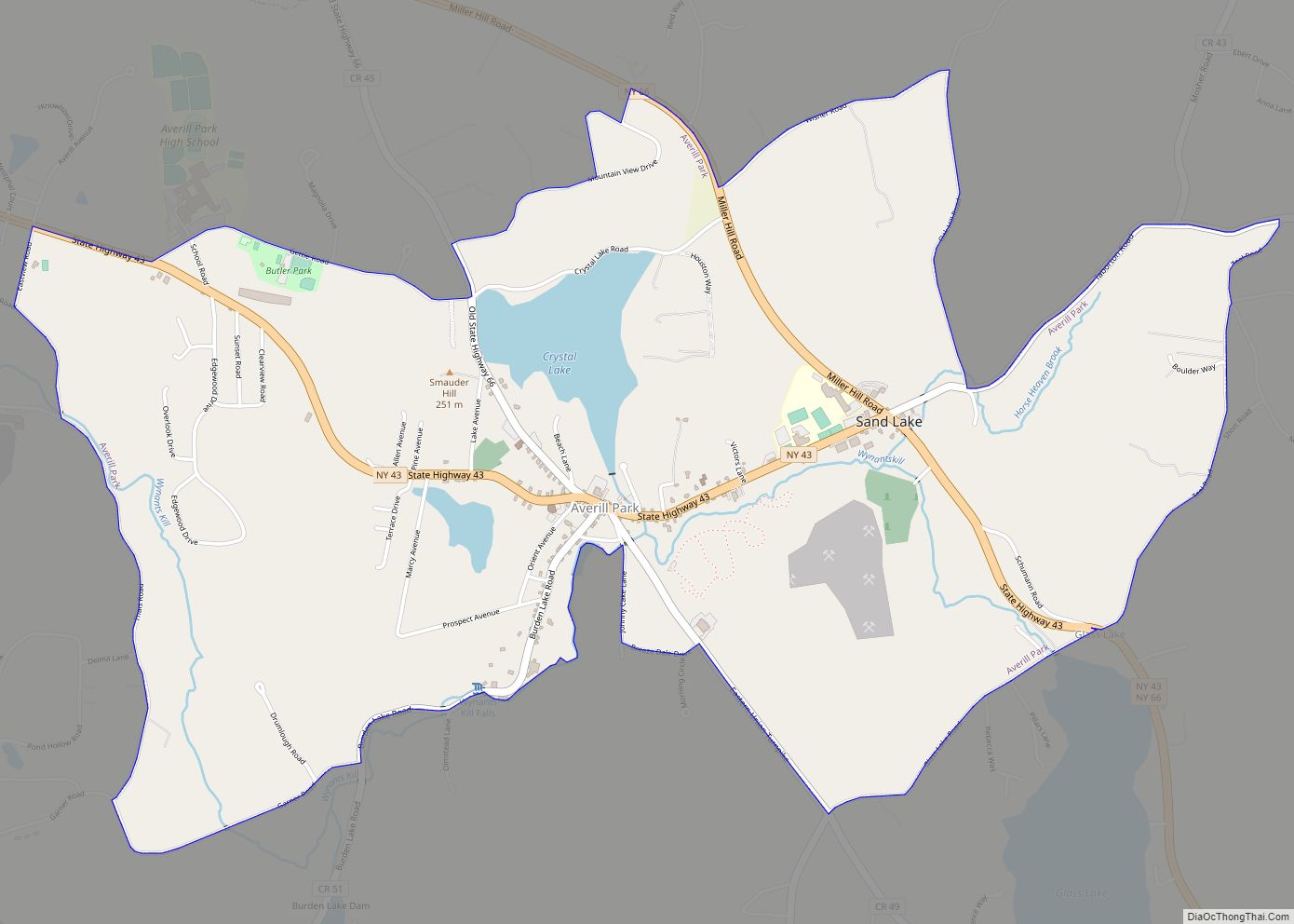
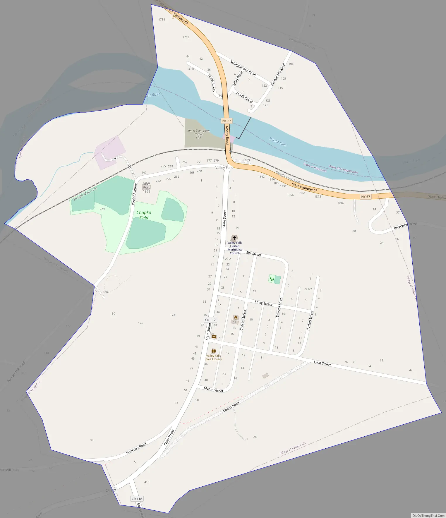
Valley Falls is a village in Rensselaer County, New York, United States. The population was 466 at the 2010 census. The village lies on the boundary of the towns of Pittstown and Schaghticoke, but is mostly in the northwestern part of Pittstown.
| Name: | Valley Falls village |
|---|---|
| LSAD Code: | 47 |
| LSAD Description: | village (suffix) |
| State: | New York |
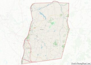
| County: | Rensselaer County |
| Elevation: | 335 ft (102 m) |
| Total Area: | 0.49 sq mi (1.27 km²) |
| Land Area: | 0.46 sq mi (1.20 km²) |
| Water Area: | 0.03 sq mi (0.06 km²) |
| Total Population: | 510 |
| Population Density: | 1,101.51/sq mi (424.89/km²) |
| ZIP code: | 12185 |
| Area code: | 518 |
| FIPS code: | 3676672 |
| GNISfeature ID: | 0968358 |
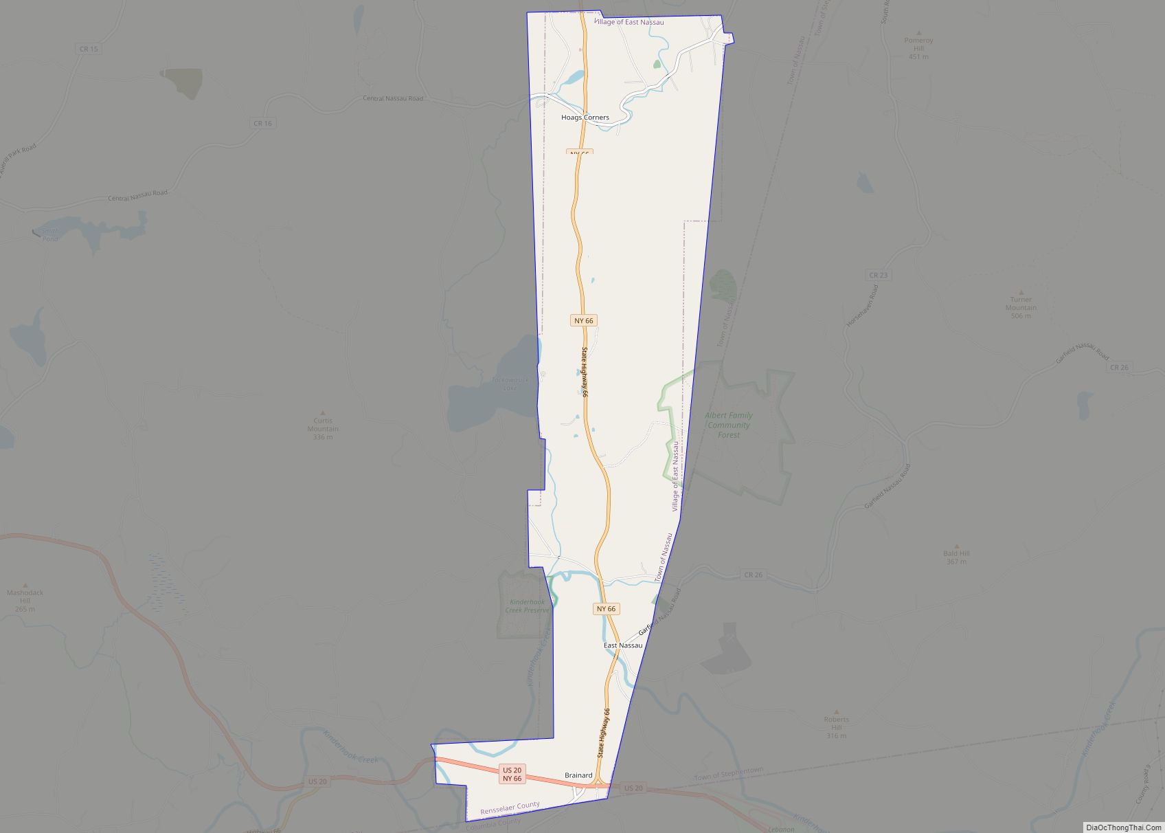
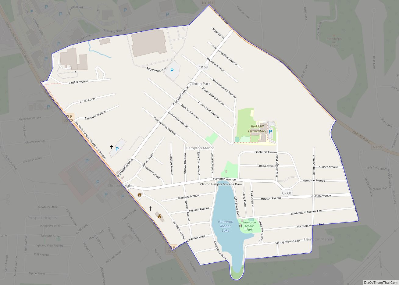
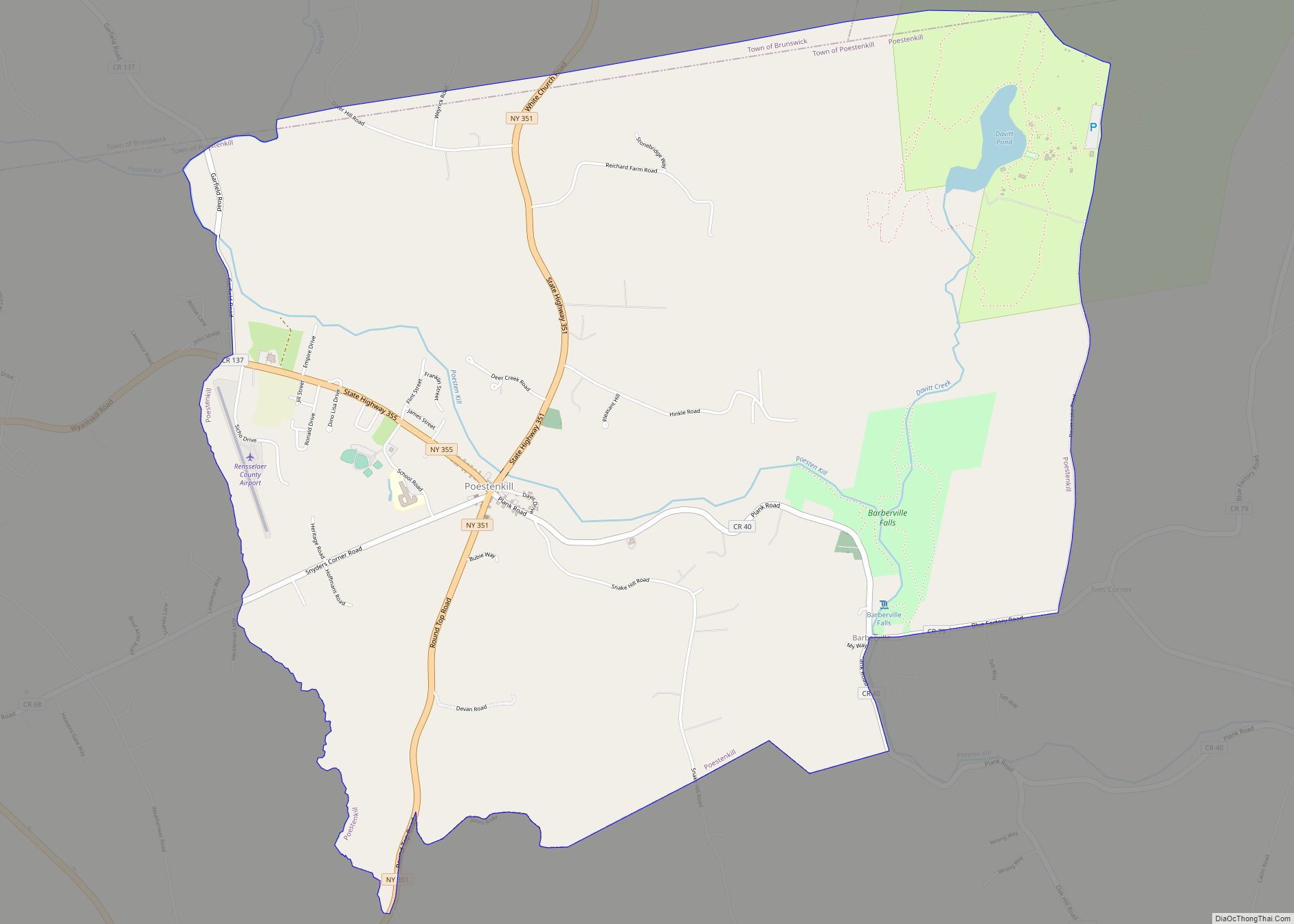
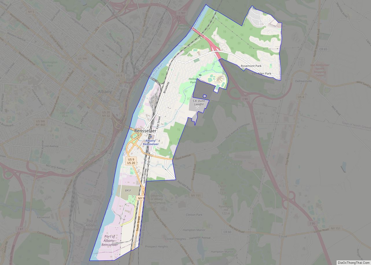
Online Interactive Map
Click on ![]() to view map in "full screen" mode.
to view map in "full screen" mode.
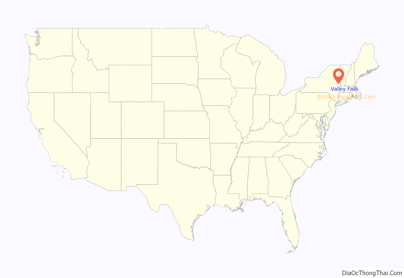
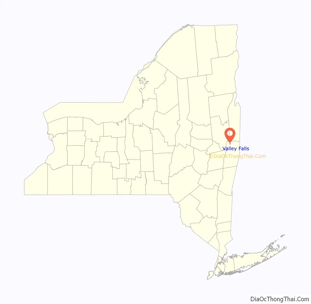
Valley Falls location map. Where is Valley Falls village?
History
In 1871, industrialist James Thompson built a textile mill in the village. Nearly all village residents worked in the mill and schoolchildren ran home when the mill’s lunch whistle sounded. After its height of operation in the 1970s, it entered a decade of decline. The mill had been vacant for at least 10 years when it went up in flames in the early morning hours on April 22, 2009.
By 1863, Valley Falls had established itself as a mini-industrial center. In addition to the aforementioned Thompson textile mill, the village also had a blacksmith shop, farrier shop, foundry, wainwright shop, cooperage, vineyard, three general stores, and two hotels. At this time only a single rail line (Troy & Boston RR) from Troy passed through the southern limit of the village, heading to Johnsonville. Later, a second rail line from Schaghticoke would follow the Hoosic River past Thompson’s Mill, also heading to Johnsonville. By the early 1970s, the southern rail line was completely abandoned and had been largely dismantled; the northern line still functions to this day. However, with the closing of the Thompson mill, the train no longer stops in Valley Falls.
Valley Falls in the hometown of Allan C. Balch, public utilities executive and namesake for Cornell’s Balch Hall.
The Adams–Myers–Bryan Farmstead was listed on the National Register of Historic Places in 2013.
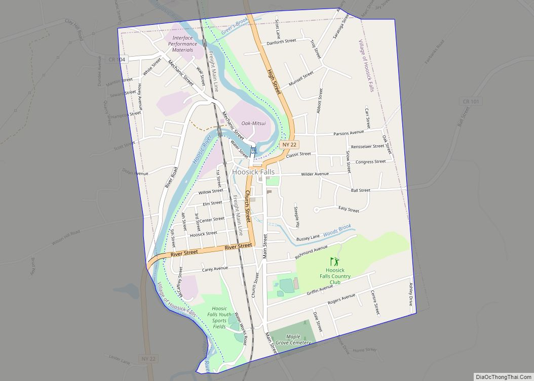
Valley Falls Road Map
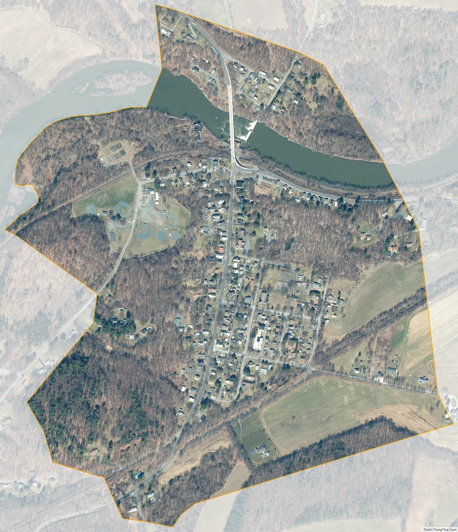
Valley Falls city Satellite Map
Geography
Valley Falls is located at 42°54′3″N 73°33′45″W / 42.90083°N 73.56250°W / 42.90083; -73.56250 (42.900846, -73.562495).
The Hoosic River unequally divides the village. The majority of the village is on the southern side of the Hoosic in the township of Pittstown and the “Village Annex” on the northern side is in the township of Schaghticoke.
According to the United States Census Bureau, the village has a total area of 0.5 square miles (1.3 km), of which 0.4 square miles (1.0 km) is land and 0.04 square miles (0.10 km) (4.35%) is water.
See also
Map of New York State and its subdivision:- Albany
- Allegany
- Bronx
- Broome
- Cattaraugus
- Cayuga
- Chautauqua
- Chemung
- Chenango
- Clinton
- Columbia
- Cortland
- Delaware
- Dutchess
- Erie
- Essex
- Franklin
- Fulton
- Genesee
- Greene
- Hamilton
- Herkimer
- Jefferson
- Kings
- Lake Ontario
- Lewis
- Livingston
- Madison
- Monroe
- Montgomery
- Nassau
- New York
- Niagara
- Oneida
- Onondaga
- Ontario
- Orange
- Orleans
- Oswego
- Otsego
- Putnam
- Queens
- Rensselaer
- Richmond
- Rockland
- Saint Lawrence
- Saratoga
- Schenectady
- Schoharie
- Schuyler
- Seneca
- Steuben
- Suffolk
- Sullivan
- Tioga
- Tompkins
- Ulster
- Warren
- Washington
- Wayne
- Westchester
- Wyoming
- Yates
- Alabama
- Alaska
- Arizona
- Arkansas
- California
- Colorado
- Connecticut
- Delaware
- District of Columbia
- Florida
- Georgia
- Hawaii
- Idaho
- Illinois
- Indiana
- Iowa
- Kansas
- Kentucky
- Louisiana
- Maine
- Maryland
- Massachusetts
- Michigan
- Minnesota
- Mississippi
- Missouri
- Montana
- Nebraska
- Nevada
- New Hampshire
- New Jersey
- New Mexico
- New York
- North Carolina
- North Dakota
- Ohio
- Oklahoma
- Oregon
- Pennsylvania
- Rhode Island
- South Carolina
- South Dakota
- Tennessee
- Texas
- Utah
- Vermont
- Virginia
- Washington
- West Virginia
- Wisconsin
- Wyoming