Village of the Branch is a village in the Town of Smithtown in Suffolk County, New York, United States. The population was 1,807 at the 2010 census. The village incorporated in 1927.
The village shares its post office and ZIP code with the nearby hamlet of Smithtown, which is also the Town seat of the Town of Smithtown.
| Name: | Village of the Branch village |
|---|---|
| LSAD Code: | 47 |
| LSAD Description: | village (suffix) |
| State: | New York |
| County: | Suffolk County |
| Incorporated: | 1927 |
| Elevation: | 62 ft (19 m) |
| Total Area: | 0.98 sq mi (2.54 km²) |
| Land Area: | 0.95 sq mi (2.46 km²) |
| Water Area: | 0.03 sq mi (0.08 km²) |
| Total Population: | 1,735 |
| Population Density: | 1,826.32/sq mi (705.13/km²) |
| FIPS code: | 3677519 |
| GNISfeature ID: | 0973410 |
| Website: | www.villageofthebranch.net |
Online Interactive Map
Click on ![]() to view map in "full screen" mode.
to view map in "full screen" mode.
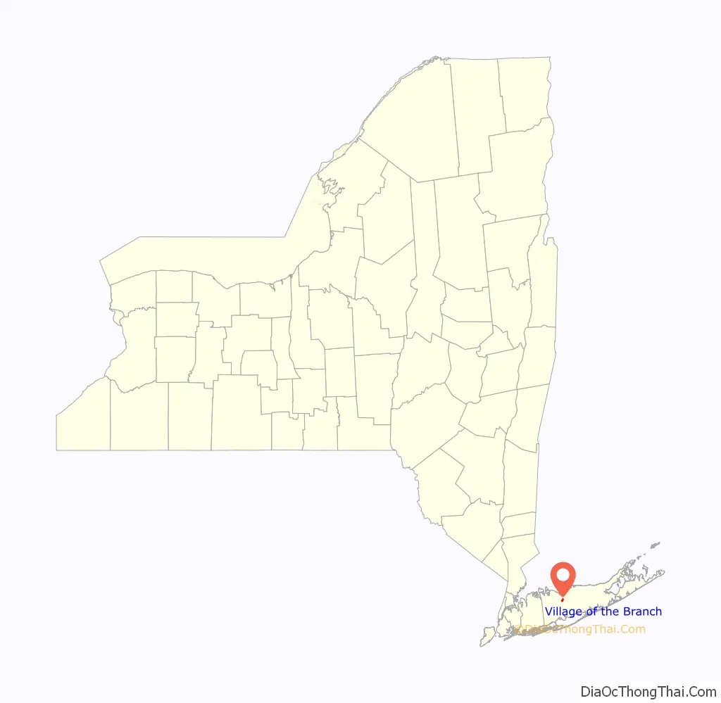
Village of the Branch location map. Where is Village of the Branch village?

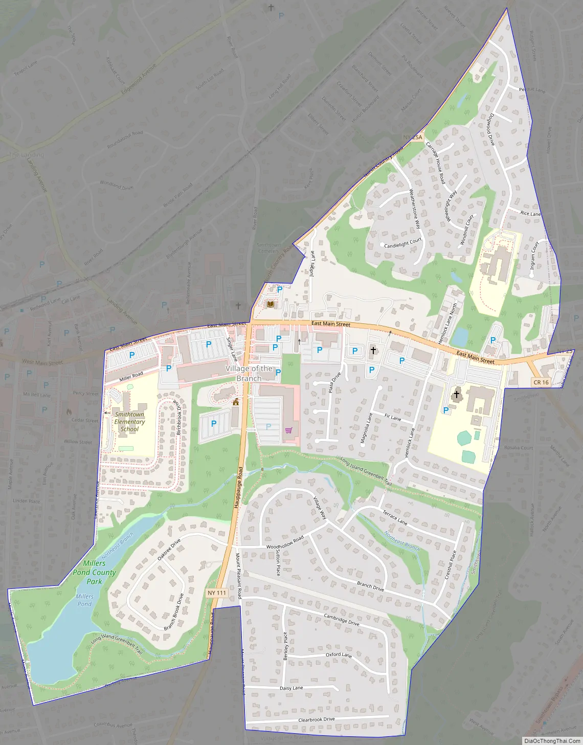
Village of the Branch Road Map
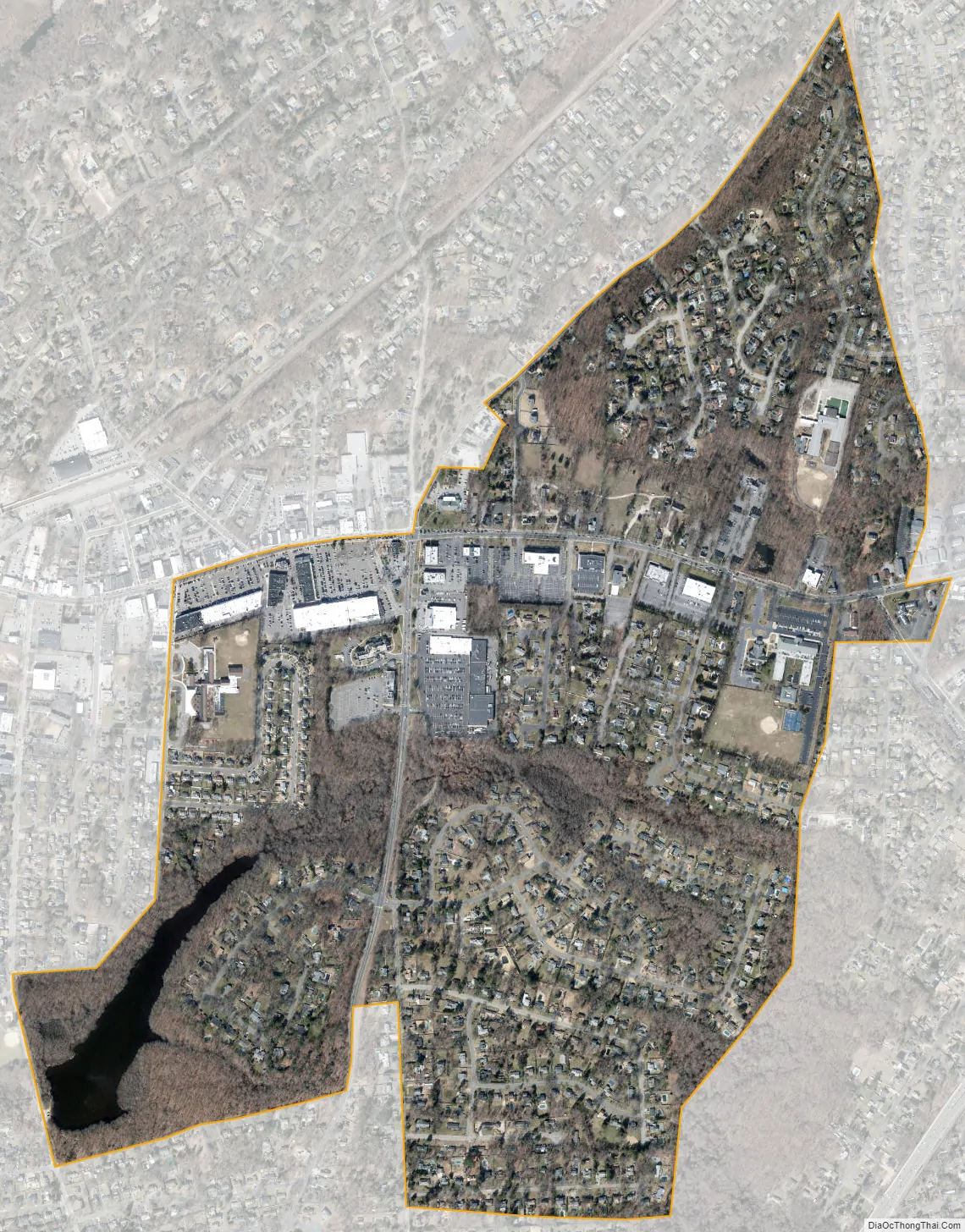
Village of the Branch city Satellite Map
Geography
According to the United States Census Bureau, the village has a total area of 1.0 square mile (2.6 km), of which 0.9 square miles (2.3 km) is land and 0.04 square miles (0.10 km), or 3.09%, is water.
Historic district
The village includes a 20-acre (8.1 ha) national historic district consisting of 15 houses, a church, and a library built between about 1700 and 1965. Located within the district are the Halliock Inn and First Presbyterian Church.
See also
Map of New York State and its subdivision:- Albany
- Allegany
- Bronx
- Broome
- Cattaraugus
- Cayuga
- Chautauqua
- Chemung
- Chenango
- Clinton
- Columbia
- Cortland
- Delaware
- Dutchess
- Erie
- Essex
- Franklin
- Fulton
- Genesee
- Greene
- Hamilton
- Herkimer
- Jefferson
- Kings
- Lake Ontario
- Lewis
- Livingston
- Madison
- Monroe
- Montgomery
- Nassau
- New York
- Niagara
- Oneida
- Onondaga
- Ontario
- Orange
- Orleans
- Oswego
- Otsego
- Putnam
- Queens
- Rensselaer
- Richmond
- Rockland
- Saint Lawrence
- Saratoga
- Schenectady
- Schoharie
- Schuyler
- Seneca
- Steuben
- Suffolk
- Sullivan
- Tioga
- Tompkins
- Ulster
- Warren
- Washington
- Wayne
- Westchester
- Wyoming
- Yates
- Alabama
- Alaska
- Arizona
- Arkansas
- California
- Colorado
- Connecticut
- Delaware
- District of Columbia
- Florida
- Georgia
- Hawaii
- Idaho
- Illinois
- Indiana
- Iowa
- Kansas
- Kentucky
- Louisiana
- Maine
- Maryland
- Massachusetts
- Michigan
- Minnesota
- Mississippi
- Missouri
- Montana
- Nebraska
- Nevada
- New Hampshire
- New Jersey
- New Mexico
- New York
- North Carolina
- North Dakota
- Ohio
- Oklahoma
- Oregon
- Pennsylvania
- Rhode Island
- South Carolina
- South Dakota
- Tennessee
- Texas
- Utah
- Vermont
- Virginia
- Washington
- West Virginia
- Wisconsin
- Wyoming


