Wading River is a hamlet and census-designated place (CDP) in Suffolk County, New York, United States, on the North Shore of Long Island. As of the 2010 census, the CDP population was 7,719. It is adjacent to Shoreham and shares a school district.
Most of Wading River lies within the Town of Riverhead, but a small portion is in the Town of Brookhaven. The name of the hamlet comes from the original Algonquian name for the area, Pauquaconsuk, meaning “the place where we wade for thick, round-shelled clams”. It was also previously known as “Lonsefekwa”. “Wading in the River” or Wading River was adopted by the first English colonists.
| Name: | Wading River CDP |
|---|---|
| LSAD Code: | 57 |
| LSAD Description: | CDP (suffix) |
| State: | New York |
| County: | Suffolk County |
| Elevation: | 92 ft (28 m) |
| Total Area: | 12.52 sq mi (32.41 km²) |
| Land Area: | 9.78 sq mi (25.33 km²) |
| Water Area: | 2.73 sq mi (7.08 km²) |
| Total Population: | 7,731 |
| Population Density: | 790.41/sq mi (305.19/km²) |
| ZIP code: | 11792 |
| Area code: | 631, 934 |
| FIPS code: | 3677772 |
| GNISfeature ID: | 0968624 |
| Website: | www.brookhavenny.gov |
Online Interactive Map
Click on ![]() to view map in "full screen" mode.
to view map in "full screen" mode.
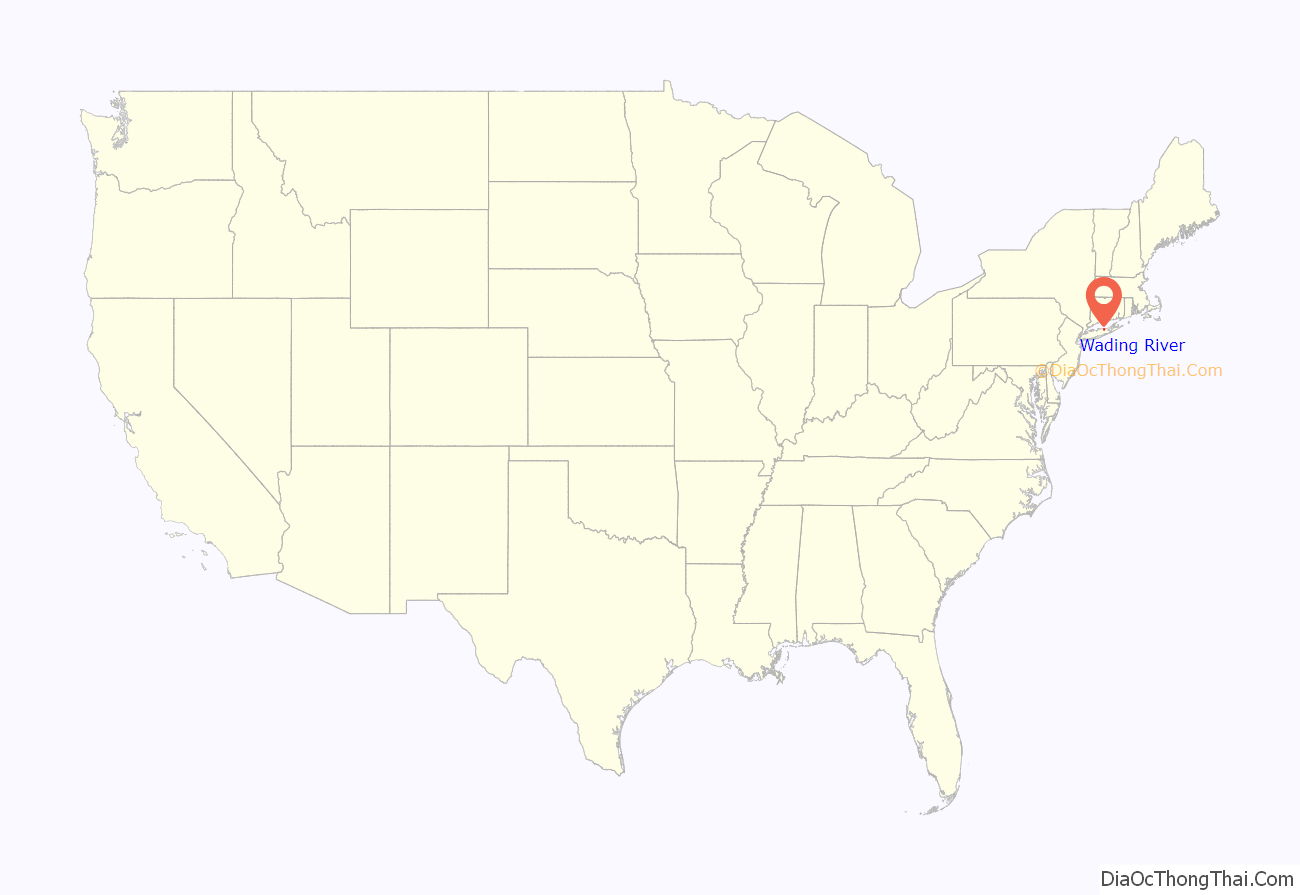
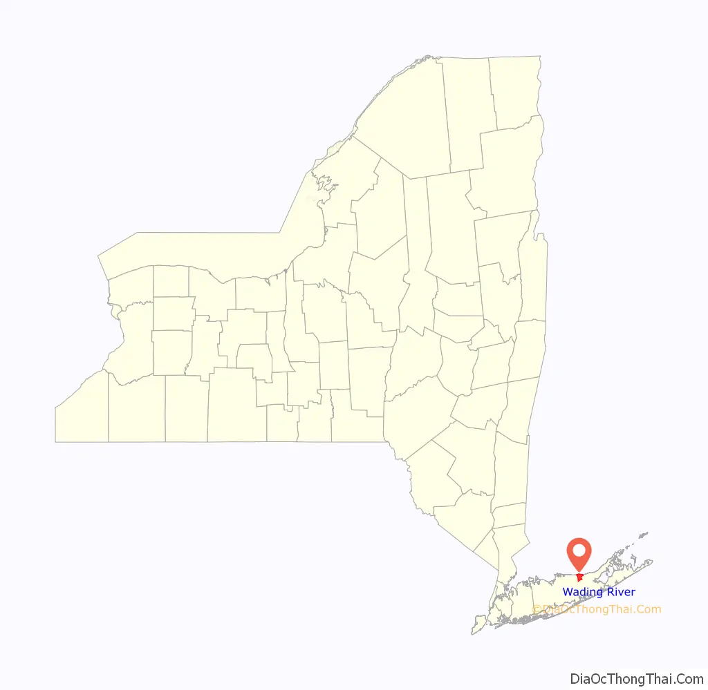
Wading River location map. Where is Wading River CDP?
History
1671
The earliest English records show a settlement known as Wading River was founded by eight colonial families. “The spot for the village was chosen with care. There was a stream adequate for water power and abounding in seafood…good water for drinking…soil rich enough to grow essential crops, woodland for fuel, building material and food, topography to offer protection from the elements, meadowland for its grass.”
Until 1947
Between 1895 and 1938, the Port Jefferson Branch of the Long Island Rail Road extended to Wading River. It was once planned to continue eastward to rejoin the Main Line at Riverhead or Calverton. From 1905 to 1928, Wading River was also the site of an LIRR demonstration farm. Another was east of Medford Station on the Main Line. The Wading River station closed in 1938. During World War II the Benson House was used by the FBI as the site of a secret counterintelligence operation to feed the Nazis deceptive information.
The hamlet of Wading River had a year-round population of less than 500. But during the summer months, hundreds of visitors filled the town to use Wildwood State Park, the cottages on the cliffs and dunes and, of course, the beaches.
It was in Wading River that Walter Lippmann wrote his books Public Opinion and The Phantom Public in the summers of 1921 and 1923 respectively
1947
This year was a landmark year of change for the sleepy little hamlet; noteworthy accomplishments include:
- Returning service men from World War II began building homes in Wading River
- The formation of Wading River’s own volunteer fire department, Wading River Fire Department
- The military installation known as Camp Upton was converted for use as Brookhaven National Laboratory
- The Wading River Historical Society was formed.
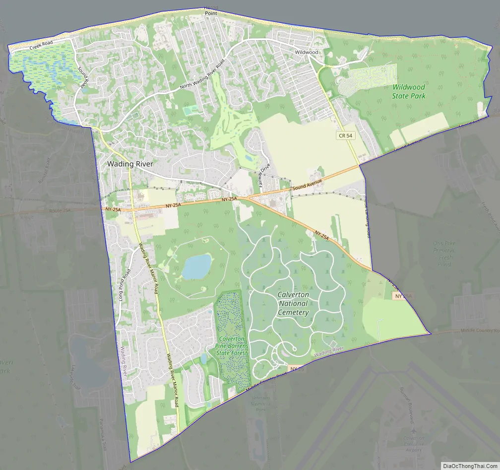
Wading River Road Map
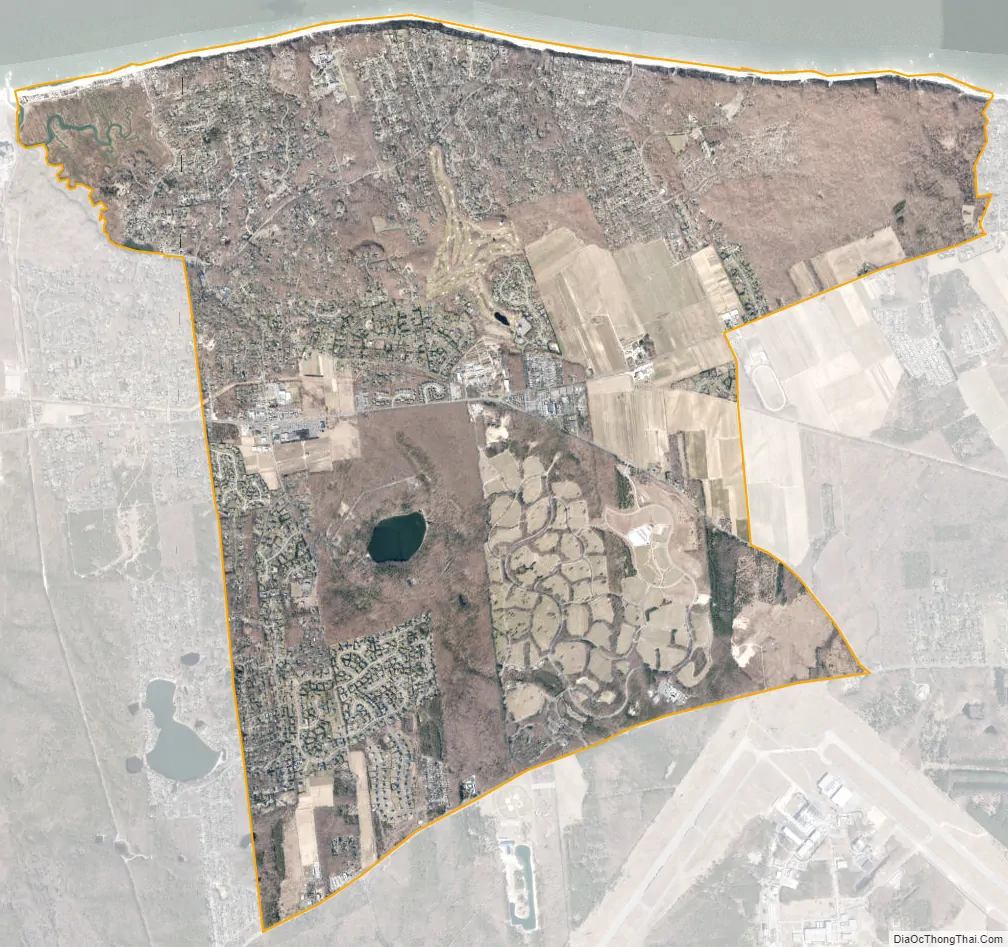
Wading River city Satellite Map
Geography
Wading River is located at 40°57′9″N 72°49′48″W / 40.95250°N 72.83000°W / 40.95250; -72.83000 (40.952599, -72.829907).
According to the United States Census Bureau, the CDP has a total area of 9.8 square miles (25.5 km), of which 0.04 square miles (0.1 km), or 0.40%, is water.
See also
Map of New York State and its subdivision:- Albany
- Allegany
- Bronx
- Broome
- Cattaraugus
- Cayuga
- Chautauqua
- Chemung
- Chenango
- Clinton
- Columbia
- Cortland
- Delaware
- Dutchess
- Erie
- Essex
- Franklin
- Fulton
- Genesee
- Greene
- Hamilton
- Herkimer
- Jefferson
- Kings
- Lake Ontario
- Lewis
- Livingston
- Madison
- Monroe
- Montgomery
- Nassau
- New York
- Niagara
- Oneida
- Onondaga
- Ontario
- Orange
- Orleans
- Oswego
- Otsego
- Putnam
- Queens
- Rensselaer
- Richmond
- Rockland
- Saint Lawrence
- Saratoga
- Schenectady
- Schoharie
- Schuyler
- Seneca
- Steuben
- Suffolk
- Sullivan
- Tioga
- Tompkins
- Ulster
- Warren
- Washington
- Wayne
- Westchester
- Wyoming
- Yates
- Alabama
- Alaska
- Arizona
- Arkansas
- California
- Colorado
- Connecticut
- Delaware
- District of Columbia
- Florida
- Georgia
- Hawaii
- Idaho
- Illinois
- Indiana
- Iowa
- Kansas
- Kentucky
- Louisiana
- Maine
- Maryland
- Massachusetts
- Michigan
- Minnesota
- Mississippi
- Missouri
- Montana
- Nebraska
- Nevada
- New Hampshire
- New Jersey
- New Mexico
- New York
- North Carolina
- North Dakota
- Ohio
- Oklahoma
- Oregon
- Pennsylvania
- Rhode Island
- South Carolina
- South Dakota
- Tennessee
- Texas
- Utah
- Vermont
- Virginia
- Washington
- West Virginia
- Wisconsin
- Wyoming


