Wainscott is a census-designated place (CDP) that roughly corresponds to the hamlet with the same name in the Town of East Hampton in Suffolk County, New York, United States, on the South Fork of Long Island. As of the 2010 United States Census, the CDP population was 650. The CDP was created for the 2000 census.
| Name: | Wainscott CDP |
|---|---|
| LSAD Code: | 57 |
| LSAD Description: | CDP (suffix) |
| State: | New York |
| County: | Suffolk County |
| Elevation: | 23 ft (7 m) |
| Total Area: | 7.93 sq mi (20.54 km²) |
| Land Area: | 6.74 sq mi (17.45 km²) |
| Water Area: | 1.19 sq mi (3.09 km²) |
| Total Population: | 904 |
| Population Density: | 134.20/sq mi (51.81/km²) |
| ZIP code: | 11975 |
| Area code: | 631 |
| FIPS code: | 3677805 |
| GNISfeature ID: | 0968642 |
Online Interactive Map
Click on ![]() to view map in "full screen" mode.
to view map in "full screen" mode.
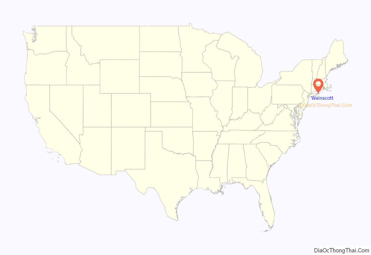
Wainscott location map. Where is Wainscott CDP?
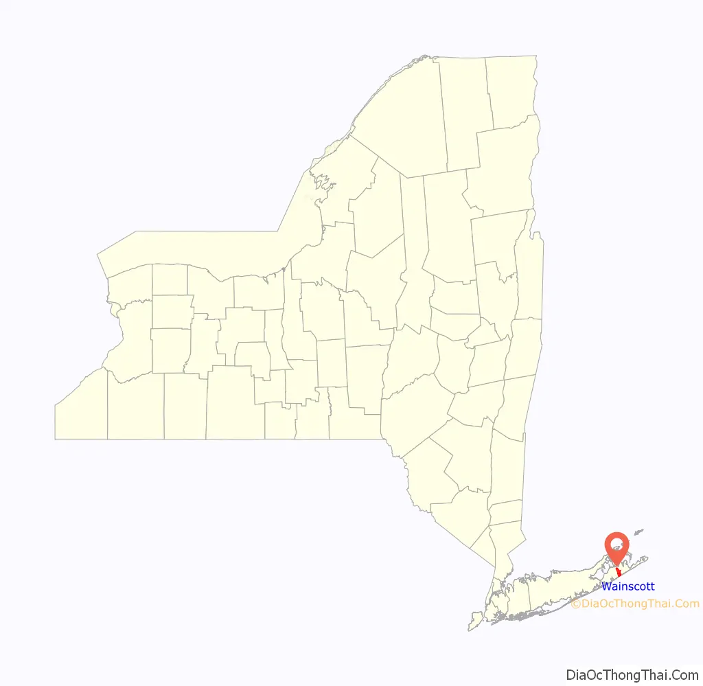
Wainscott Road Map
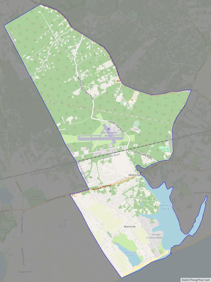
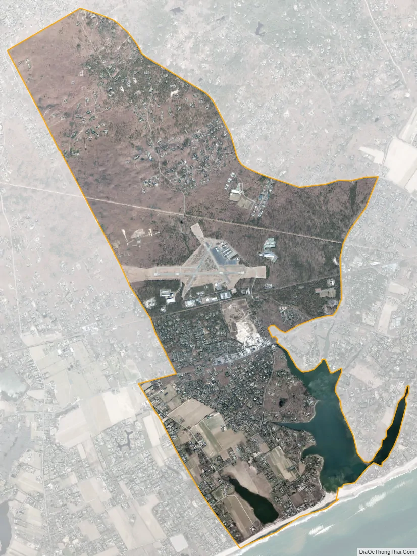
Wainscott city Satellite Map
Geography
According to the United States Census Bureau, the CDP has a total area of 7.2 square miles (18.7 km), of which 6.7 square miles (17.4 km) is land and 0.50 square miles (1.3 km), or 6.87%, is water.
Wainscott has a different landscape than East Hampton or Amagansett. The town is flat: houses border on potato or corn fields that then border on the dune and the ocean. Main Street used to have a general store and a post office. The post office eventually moved to a new building on Montauk Highway and the old post office became a private residence. Before 1935, Main Street was lined with sycamores, but the hurricane took them all down.
See also
Map of New York State and its subdivision:- Albany
- Allegany
- Bronx
- Broome
- Cattaraugus
- Cayuga
- Chautauqua
- Chemung
- Chenango
- Clinton
- Columbia
- Cortland
- Delaware
- Dutchess
- Erie
- Essex
- Franklin
- Fulton
- Genesee
- Greene
- Hamilton
- Herkimer
- Jefferson
- Kings
- Lake Ontario
- Lewis
- Livingston
- Madison
- Monroe
- Montgomery
- Nassau
- New York
- Niagara
- Oneida
- Onondaga
- Ontario
- Orange
- Orleans
- Oswego
- Otsego
- Putnam
- Queens
- Rensselaer
- Richmond
- Rockland
- Saint Lawrence
- Saratoga
- Schenectady
- Schoharie
- Schuyler
- Seneca
- Steuben
- Suffolk
- Sullivan
- Tioga
- Tompkins
- Ulster
- Warren
- Washington
- Wayne
- Westchester
- Wyoming
- Yates
- Alabama
- Alaska
- Arizona
- Arkansas
- California
- Colorado
- Connecticut
- Delaware
- District of Columbia
- Florida
- Georgia
- Hawaii
- Idaho
- Illinois
- Indiana
- Iowa
- Kansas
- Kentucky
- Louisiana
- Maine
- Maryland
- Massachusetts
- Michigan
- Minnesota
- Mississippi
- Missouri
- Montana
- Nebraska
- Nevada
- New Hampshire
- New Jersey
- New Mexico
- New York
- North Carolina
- North Dakota
- Ohio
- Oklahoma
- Oregon
- Pennsylvania
- Rhode Island
- South Carolina
- South Dakota
- Tennessee
- Texas
- Utah
- Vermont
- Virginia
- Washington
- West Virginia
- Wisconsin
- Wyoming


