Water Mill is a hamlet and a census-designated place (CDP) within the Town of Southampton on Long Island in Suffolk County, New York, United States. The population of the CDP was 1,559 at the 2010 census. Its ZIP Code is 11976.
As of 2010, Water Mill was listed as the fourteenth most expensive ZIP Code in the United States by Forbes. The median home price was $2,965,097.
| Name: | Water Mill CDP |
|---|---|
| LSAD Code: | 57 |
| LSAD Description: | CDP (suffix) |
| State: | New York |
| County: | Suffolk County |
| Elevation: | 39 ft (12 m) |
| Total Area: | 12.79 sq mi (33.13 km²) |
| Land Area: | 10.58 sq mi (27.39 km²) |
| Water Area: | 2.21 sq mi (5.73 km²) |
| Total Population: | 2,506 |
| Population Density: | 236.95/sq mi (91.48/km²) |
| ZIP code: | 11976 |
| Area code: | 631 |
| FIPS code: | 3678575 |
| GNISfeature ID: | 1867422 |
Online Interactive Map
Click on ![]() to view map in "full screen" mode.
to view map in "full screen" mode.
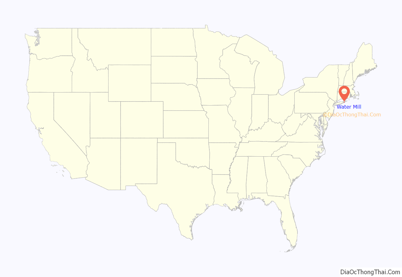
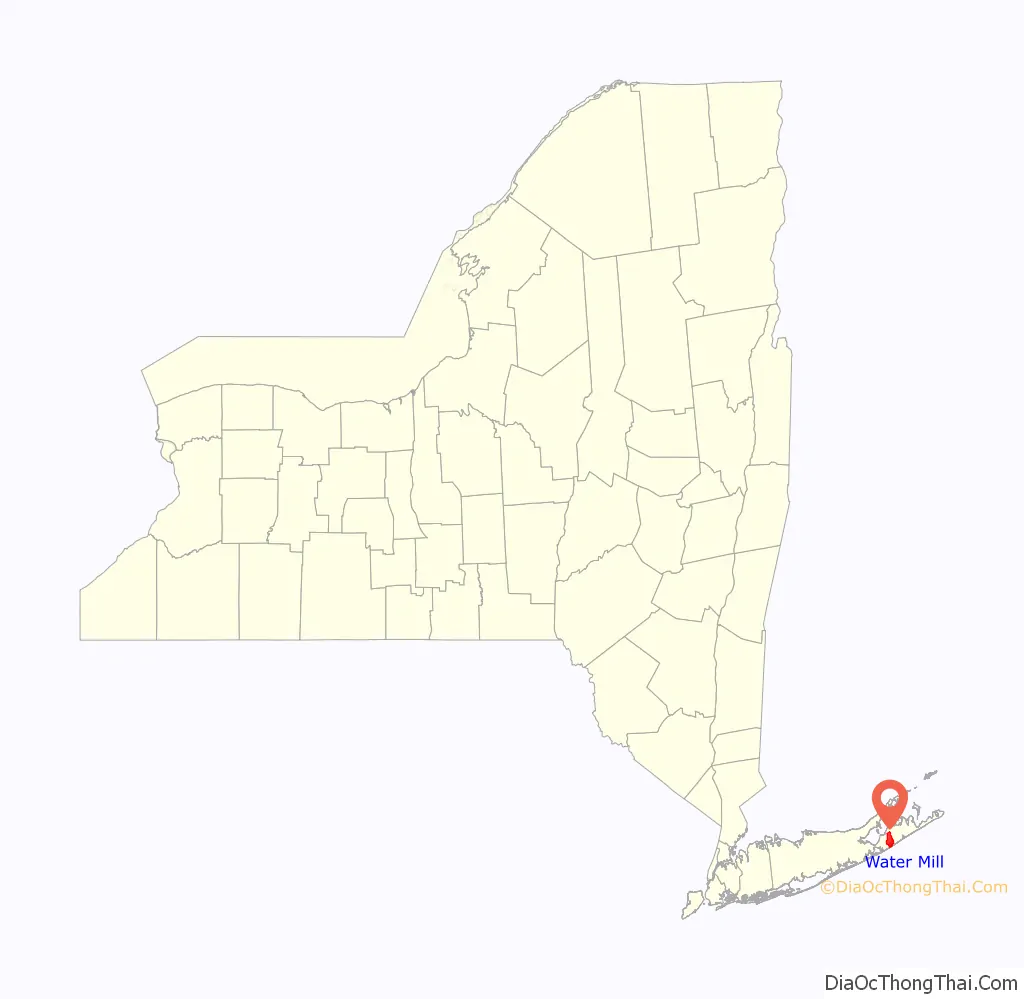
Water Mill location map. Where is Water Mill CDP?
History
In 1644, England gave Edward Howell 40 acres (16 ha) of land near the new settlement of Southampton to build a mill for settlers to grind their grain into meal. It became a landmark, and people began referring to other settlements that popped up as “east or west of the watermill.” By the 1800s, the area was known as Water Mills and was later changed to Water Mill. Howell’s Water Mill was listed on the National Register of Historic Places in 1983. Today, the hamlet boasts its status as the only settlement on the South Fork of Long Island with both a functioning watermill and windmill. Both the Watermill (ref#83004175) and the James Corwith gristmill (ref#78001919) are landmarked in the NRHP. Today Water Mill is a resort community of beautiful beaches, farms and mega mansions. Celebrities and public figures such as Richard Gere, Jennifer Lopez, Matt Lauer, Senator Frank Lautenberg, Steven Schwartzman and Bruce Blakeman own homes or have vacationed there. Louise Fitzhugh’s young adult novel The Long Secret takes place in Water Mill.
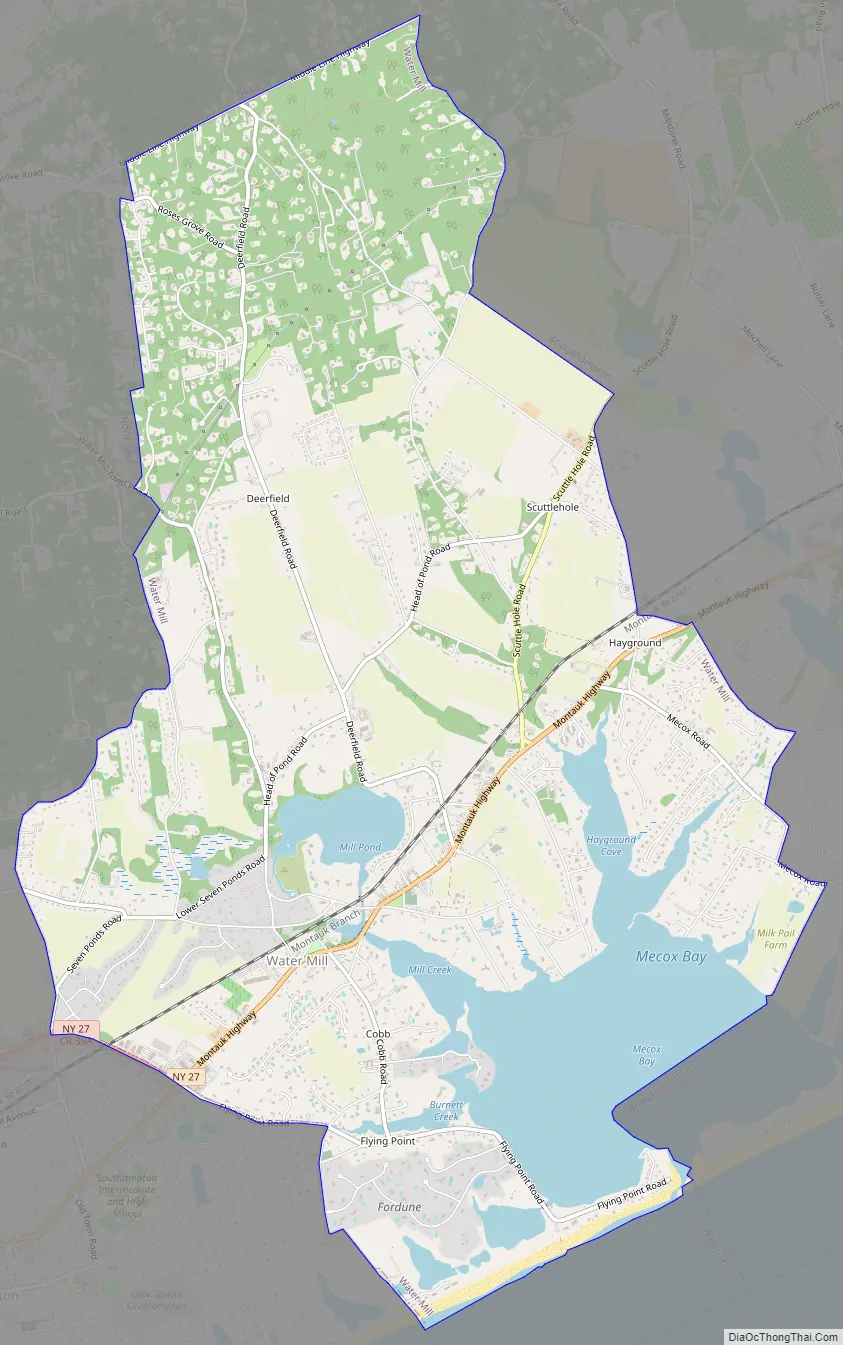
Water Mill Road Map
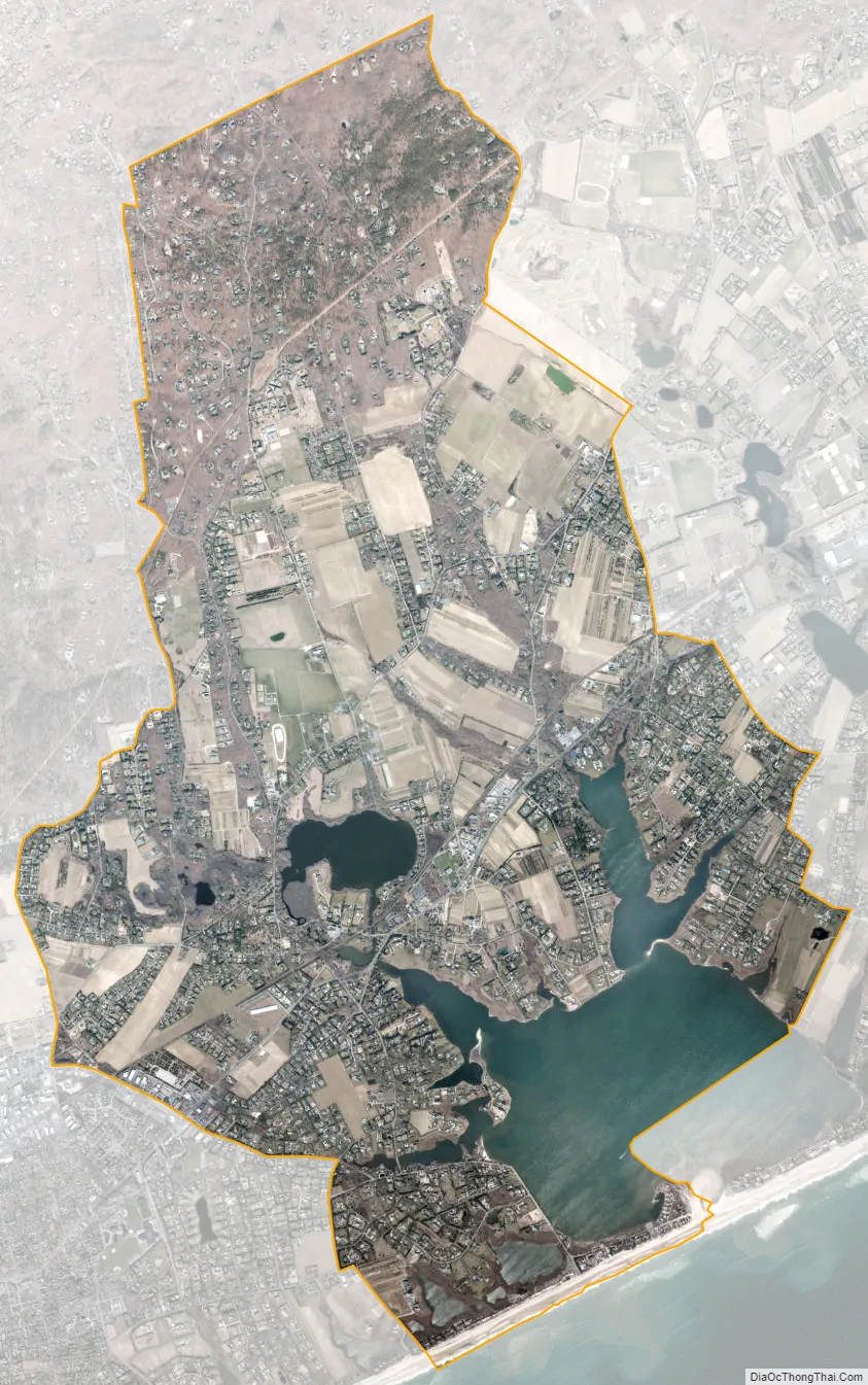
Water Mill city Satellite Map
Geography
Water Mill is located at 40° 55′ 0″ North, 72° 20′ 50″ West (40.916759, -72.347225). According to the United States Census Bureau, the CDP has a total area of 12.0 square miles (31.1 km), of which 10.5 square miles (27.3 km) is land and 1.5 square miles (3.8 km), or 12.34%, is water.
The U.S. post office in Water Mill
Old Wind Mill on the town green across from the Villa Maria convent
Corwith Windmill, Water Mill, NY
See also
Map of New York State and its subdivision:- Albany
- Allegany
- Bronx
- Broome
- Cattaraugus
- Cayuga
- Chautauqua
- Chemung
- Chenango
- Clinton
- Columbia
- Cortland
- Delaware
- Dutchess
- Erie
- Essex
- Franklin
- Fulton
- Genesee
- Greene
- Hamilton
- Herkimer
- Jefferson
- Kings
- Lake Ontario
- Lewis
- Livingston
- Madison
- Monroe
- Montgomery
- Nassau
- New York
- Niagara
- Oneida
- Onondaga
- Ontario
- Orange
- Orleans
- Oswego
- Otsego
- Putnam
- Queens
- Rensselaer
- Richmond
- Rockland
- Saint Lawrence
- Saratoga
- Schenectady
- Schoharie
- Schuyler
- Seneca
- Steuben
- Suffolk
- Sullivan
- Tioga
- Tompkins
- Ulster
- Warren
- Washington
- Wayne
- Westchester
- Wyoming
- Yates
- Alabama
- Alaska
- Arizona
- Arkansas
- California
- Colorado
- Connecticut
- Delaware
- District of Columbia
- Florida
- Georgia
- Hawaii
- Idaho
- Illinois
- Indiana
- Iowa
- Kansas
- Kentucky
- Louisiana
- Maine
- Maryland
- Massachusetts
- Michigan
- Minnesota
- Mississippi
- Missouri
- Montana
- Nebraska
- Nevada
- New Hampshire
- New Jersey
- New Mexico
- New York
- North Carolina
- North Dakota
- Ohio
- Oklahoma
- Oregon
- Pennsylvania
- Rhode Island
- South Carolina
- South Dakota
- Tennessee
- Texas
- Utah
- Vermont
- Virginia
- Washington
- West Virginia
- Wisconsin
- Wyoming


