Webster is a village in Monroe County, New York. The population was 5,399 at the time of the 2010 census. The village and town are named after orator and statesman Daniel Webster.
The Village of Webster lies near the center of the Town of Webster. It was incorporated in 1905. The village is crossed by Routes 104, 250, and 404.
| Name: | Webster village |
|---|---|
| LSAD Code: | 47 |
| LSAD Description: | village (suffix) |
| State: | New York |
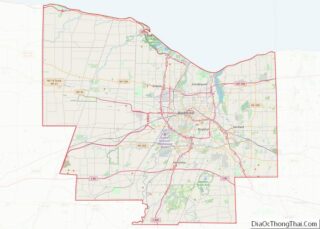
| County: | Monroe County |
| Incorporated: | 1905; 118 years ago (1905) |
| Elevation: | 442 ft (135 m) |
| Total Area: | 2.20 sq mi (5.71 km²) |
| Land Area: | 2.20 sq mi (5.71 km²) |
| Water Area: | 0.00 sq mi (0.00 km²) |
| Total Population: | 5,651 |
| Population Density: | 2,565.14/sq mi (990.52/km²) |
| ZIP code: | 14580 |
| Area code: | 585 |
| FIPS code: | 3678960 |
| Website: | http://www.villageofwebster.com |
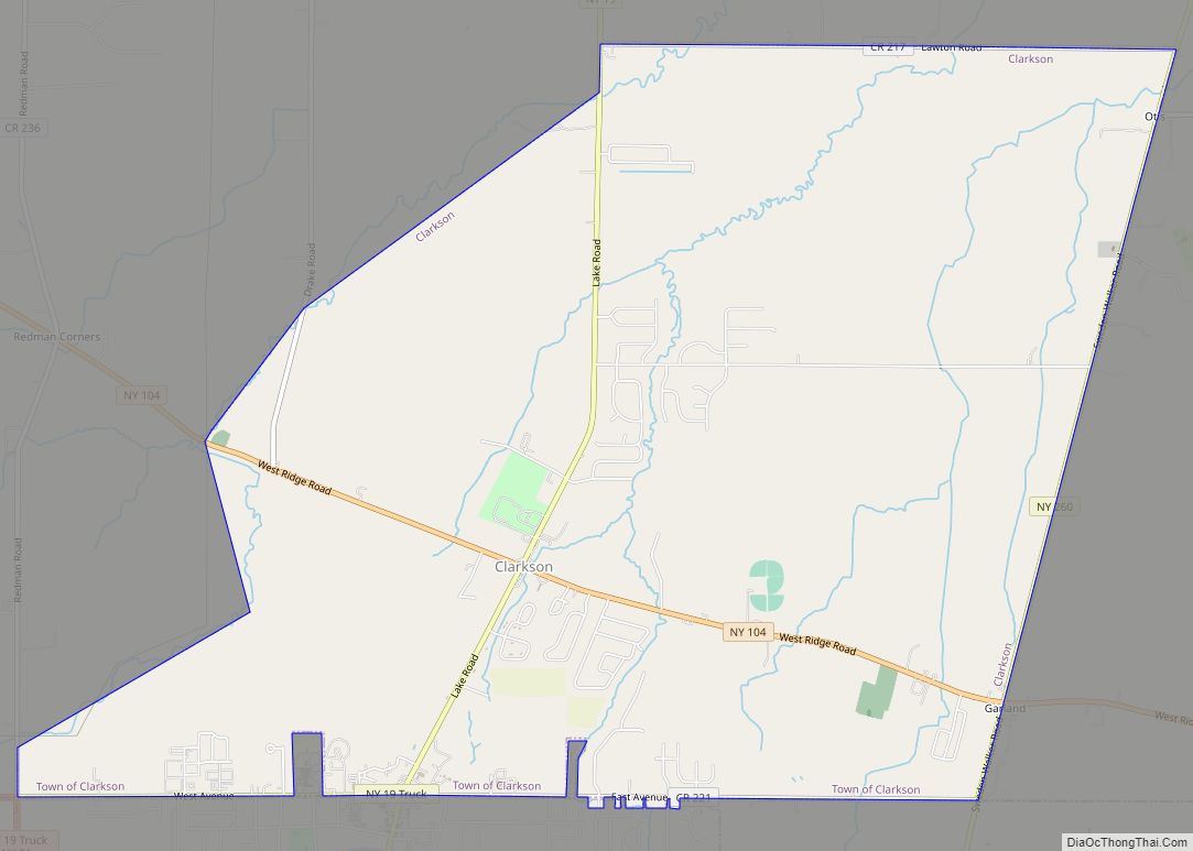
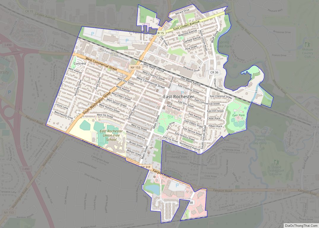
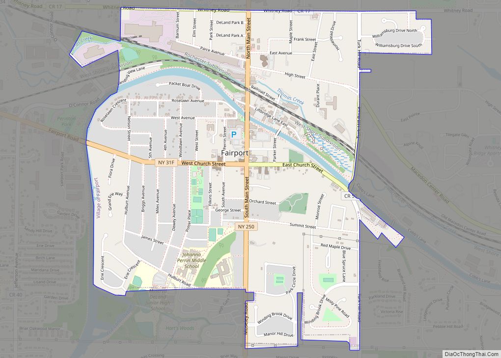
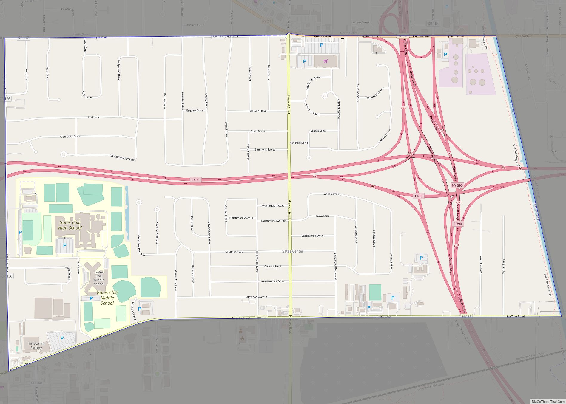
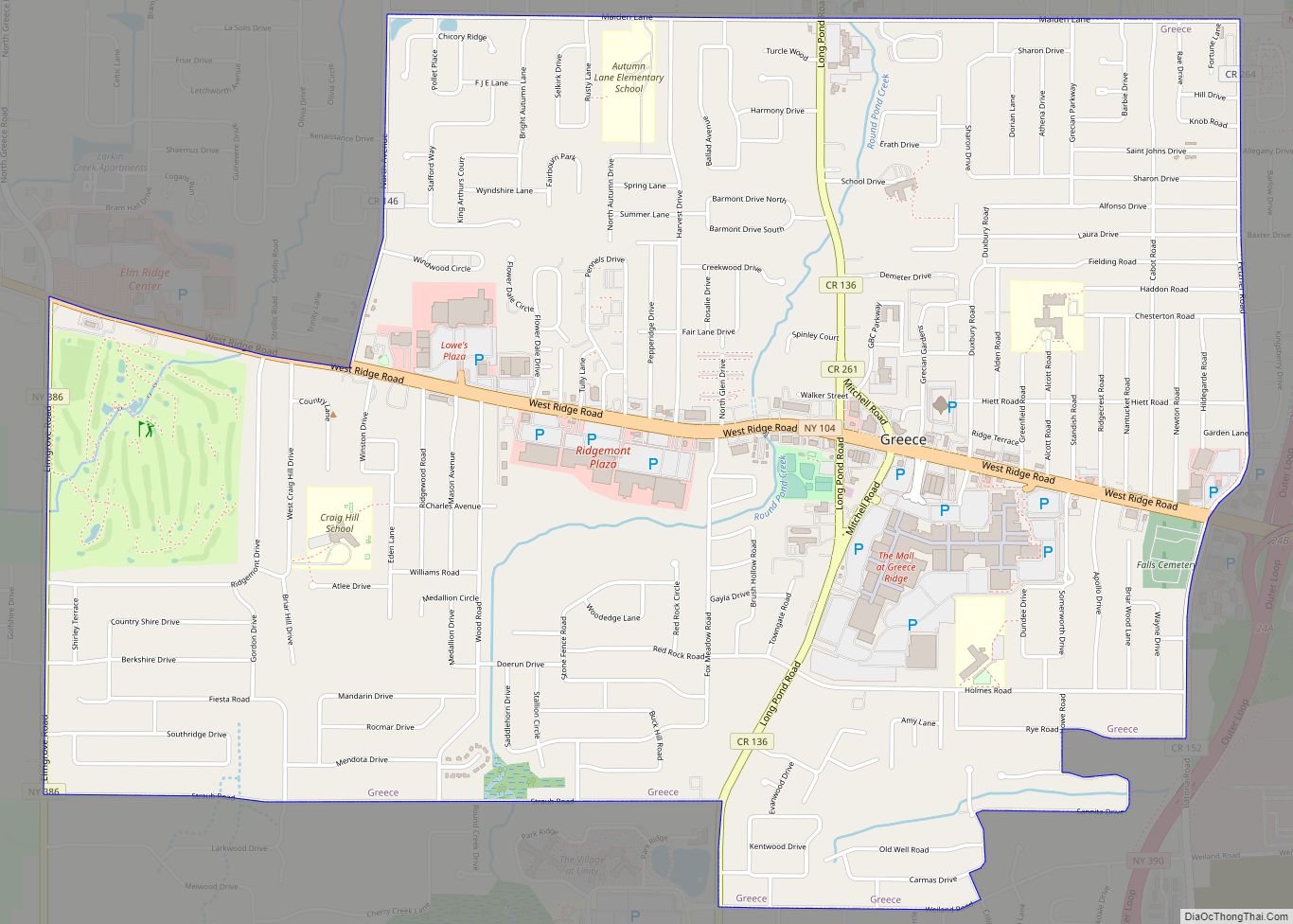
Online Interactive Map
Click on ![]() to view map in "full screen" mode.
to view map in "full screen" mode.
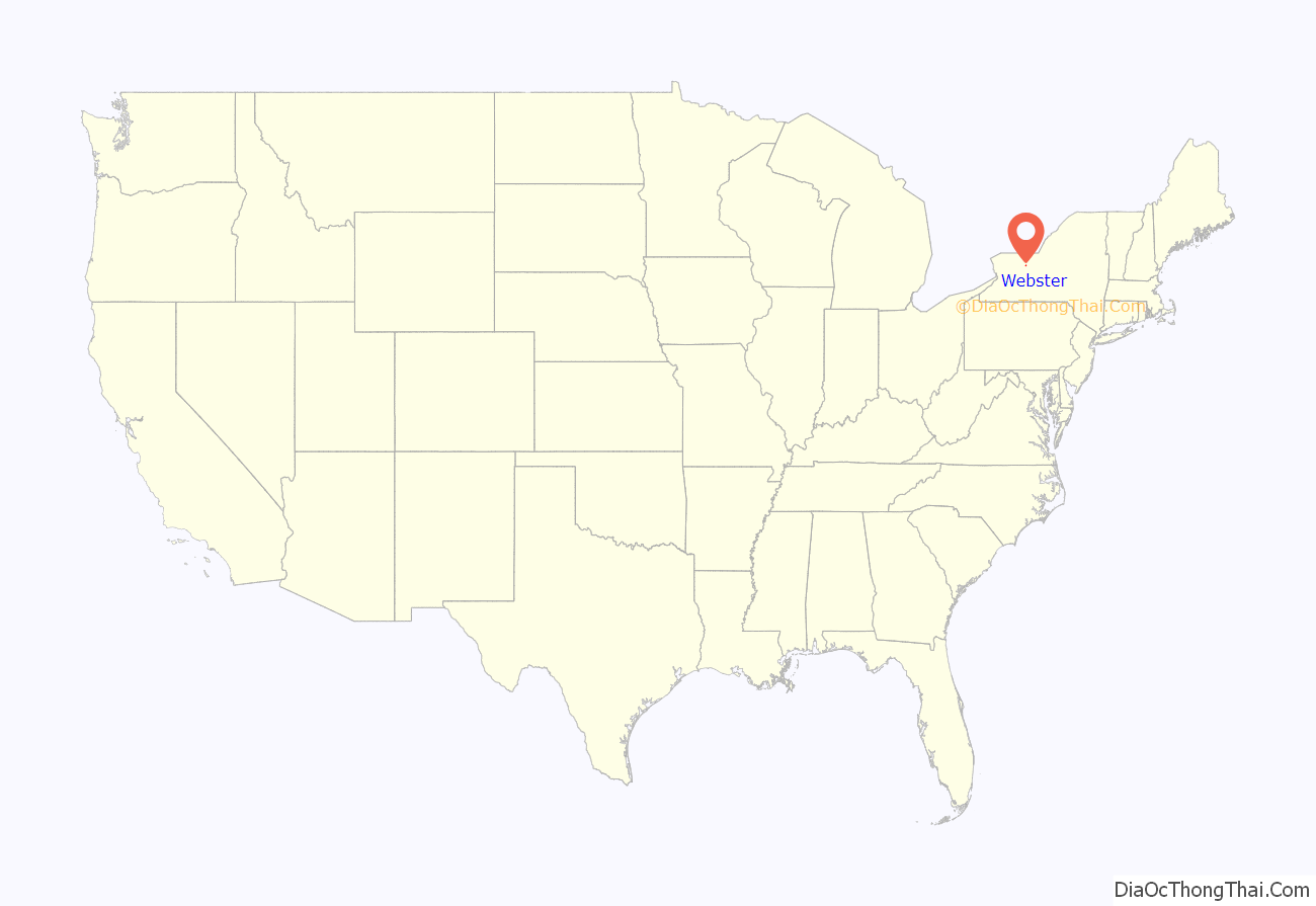
Webster location map. Where is Webster village?

History
The village of Webster has historically served as the core of the town of Webster. The commercial section of the village dates back to 1812, when the first two buildings were constructed near the present four corners. One of these buildings was a store and the other a tavern. From this modest beginning, the community and its center began to grow, becoming the commercial, social, and educational center of the town.
The history of the village center reflects the changing economy of the community. The village core was originally an agricultural center and distribution point for the town. The junction of Ridge Road and Webster Nine-Mile Point Road, which connected shipping points on the Erie Canal and the New York Central Railroad with a small port on Lake Ontario, was referred to as “the Village” because of a concentration of population and businesses. The railroad at the north end of the village attracted dried or evaporated apple businesses and small wood-working industries. The Village continued to be the shipping center for the area’s dried apple industry until well after World War I. The village also had the world’s largest basket factory and was the center for the canning industry in Monroe County.
At the beginning of the 1900s, several events significantly influenced the development of the village and its downtown core. The first bank since the Civil War era was established in the core area and the Rochester-Sodus Bay Trolley connected Webster to Rochester leading to a major expansion of the village residential area. In 1905, the village was incorporated followed by municipal infrastructure improvements and services including fire protection, water service and sewage disposal. As the primary commercial hub of the area, the village of Webster also became the focus of the community’s social life. The presence of the post office, library, banks, and government offices all served to bring people into the area. Further, commercial buildings also had several functions providing retail space on the ground floor and offices or residential apartments on the upper floors. These tenants provided sufficient rental income for property owners to both make a profit and properly maintain their buildings.
After World War II, there were striking changes that transformed Webster’s character. First, the agricultural nature of the area has been seen major encroachment by suburban growth moving outward from Rochester. The Town of Webster became one of the major suburban residential areas in Monroe County with its population more than doubling between 1950 and 1960. Substantial residential development has continued to the present. As a consequence, the agricultural industry that made the Village center a market point, administrative, social, and institutional center has diminished. Secondly. decisions made in the 1950s and 1960s by the former Haloid Company, now Xerox, to invest in major office, research and manufacturing facilities to be located in the village and the town of Webster brought about extensive changes in population growth trends in the area. The construction of Route 104 also contributed greatly to the area’s growth as access to the metropolitan area was vastly improved. Along with population growth, there has been significant commercial expansion in the village.
The Jayne and Mason Bank Building, William C. Jayne House, George G. Mason House, and Webster Baptist Church are listed on the National Register of Historic Places.
Footnotes
- Webster … Through The Years, Esther Dunn
- Village of Webster Comprehensive Plan, 1998
- Arthur Reed, Materials prepared for development study, 1965
- National Trust for Historic Preservation, “What Happened to America’s Main Streets?”
Webster Road Map
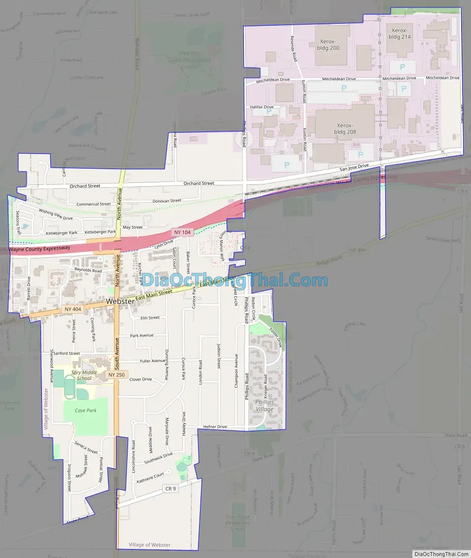
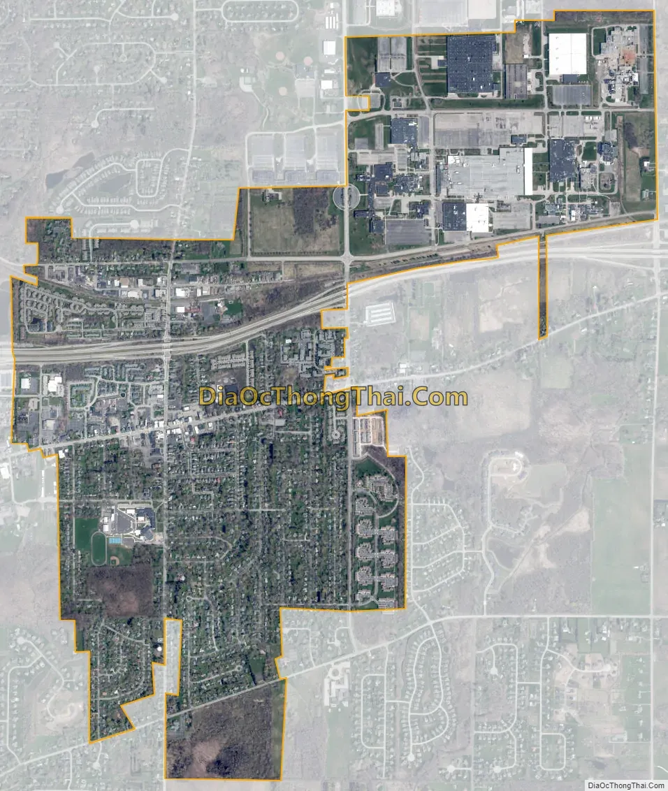
Webster city Satellite Map
Geography
Webster is located at 43°12′43″N 77°25′38″W / 43.21194°N 77.42722°W / 43.21194; -77.42722 (43.212113, -77.427292).
According to the United States Census Bureau, the village has a total area of 2.2 square miles (5.7 km), all land.
See also
Map of New York State and its subdivision:- Albany
- Allegany
- Bronx
- Broome
- Cattaraugus
- Cayuga
- Chautauqua
- Chemung
- Chenango
- Clinton
- Columbia
- Cortland
- Delaware
- Dutchess
- Erie
- Essex
- Franklin
- Fulton
- Genesee
- Greene
- Hamilton
- Herkimer
- Jefferson
- Kings
- Lake Ontario
- Lewis
- Livingston
- Madison
- Monroe
- Montgomery
- Nassau
- New York
- Niagara
- Oneida
- Onondaga
- Ontario
- Orange
- Orleans
- Oswego
- Otsego
- Putnam
- Queens
- Rensselaer
- Richmond
- Rockland
- Saint Lawrence
- Saratoga
- Schenectady
- Schoharie
- Schuyler
- Seneca
- Steuben
- Suffolk
- Sullivan
- Tioga
- Tompkins
- Ulster
- Warren
- Washington
- Wayne
- Westchester
- Wyoming
- Yates
- Alabama
- Alaska
- Arizona
- Arkansas
- California
- Colorado
- Connecticut
- Delaware
- District of Columbia
- Florida
- Georgia
- Hawaii
- Idaho
- Illinois
- Indiana
- Iowa
- Kansas
- Kentucky
- Louisiana
- Maine
- Maryland
- Massachusetts
- Michigan
- Minnesota
- Mississippi
- Missouri
- Montana
- Nebraska
- Nevada
- New Hampshire
- New Jersey
- New Mexico
- New York
- North Carolina
- North Dakota
- Ohio
- Oklahoma
- Oregon
- Pennsylvania
- Rhode Island
- South Carolina
- South Dakota
- Tennessee
- Texas
- Utah
- Vermont
- Virginia
- Washington
- West Virginia
- Wisconsin
- Wyoming