Wells is a census-designated place (CDP) in the town of Wells, Hamilton County, New York, United States. It is within the Adirondack Park.
| Name: | Wells CDP |
|---|---|
| LSAD Code: | 57 |
| LSAD Description: | CDP (suffix) |
| State: | New York |
| County: | Hamilton County |
| Elevation: | 1,003.3 ft (305.8 m) |
| Total Area: | 8.35 sq mi (21.61 km²) |
| Land Area: | 7.72 sq mi (20.00 km²) |
| Water Area: | 0.62 sq mi (1.62 km²) |
| Total Population: | 531 |
| Population Density: | 68.77/sq mi (26.55/km²) |
| ZIP code: | 12190 |
| Area code: | 518 |
| FIPS code: | 3679048 |
| GNISfeature ID: | 2628190 |
Online Interactive Map
Click on ![]() to view map in "full screen" mode.
to view map in "full screen" mode.
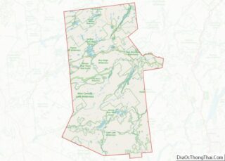
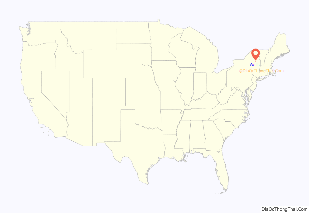
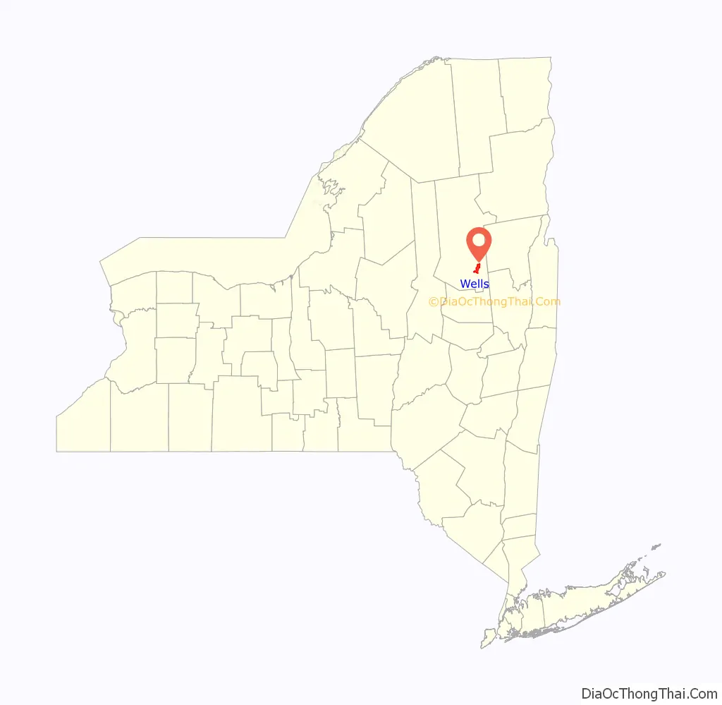
Wells location map. Where is Wells CDP?
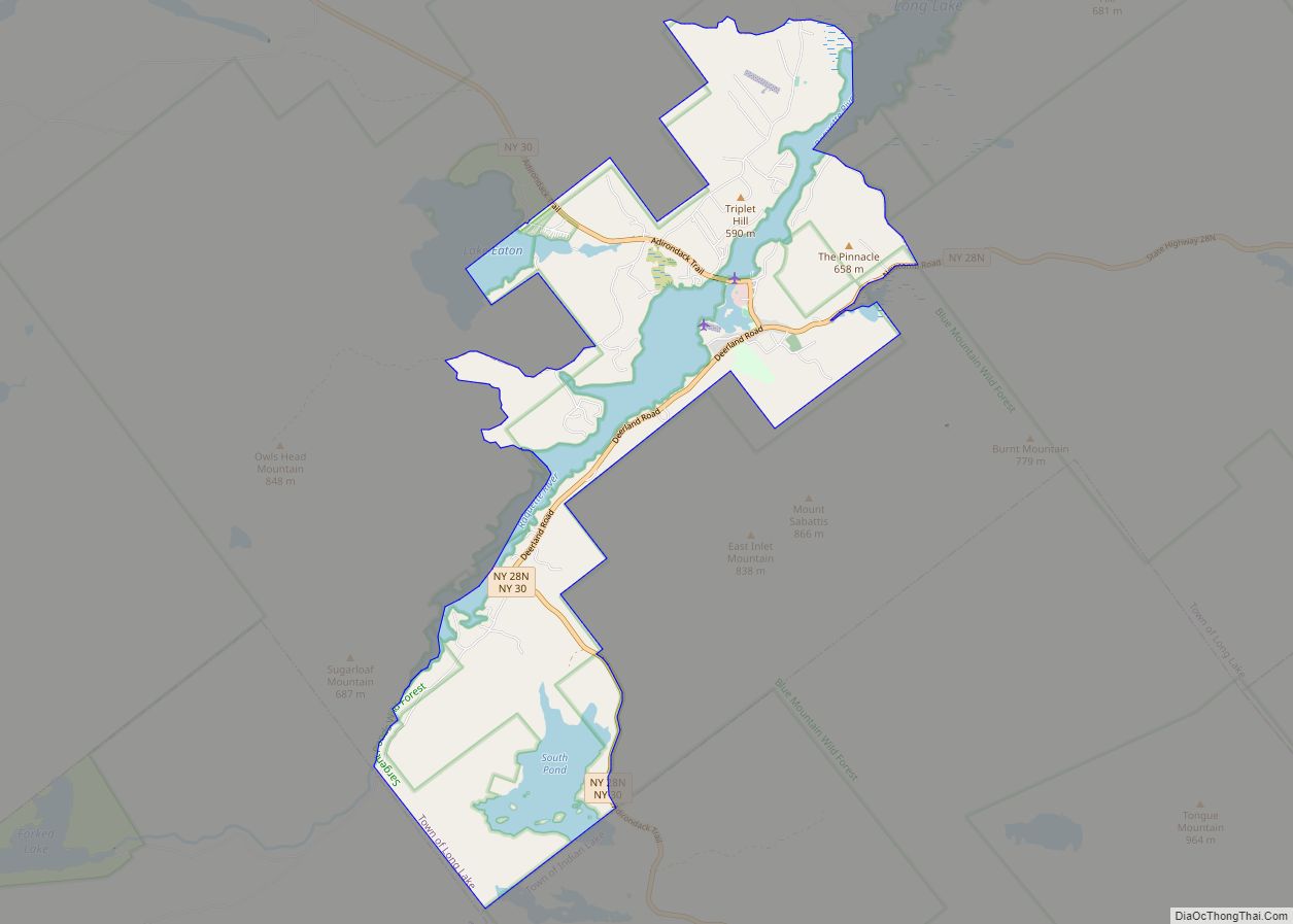
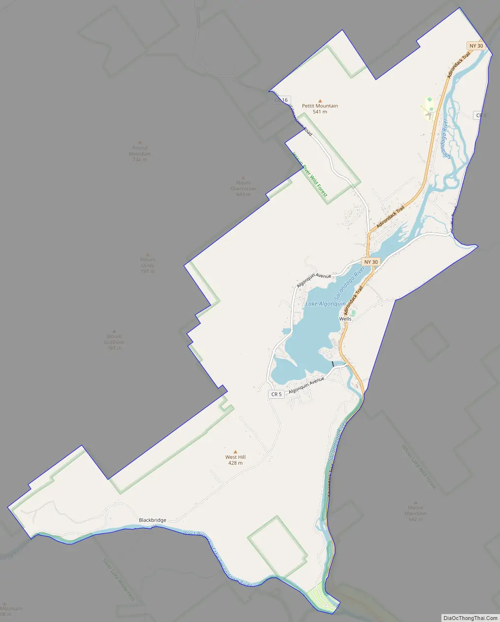
Wells Road Map
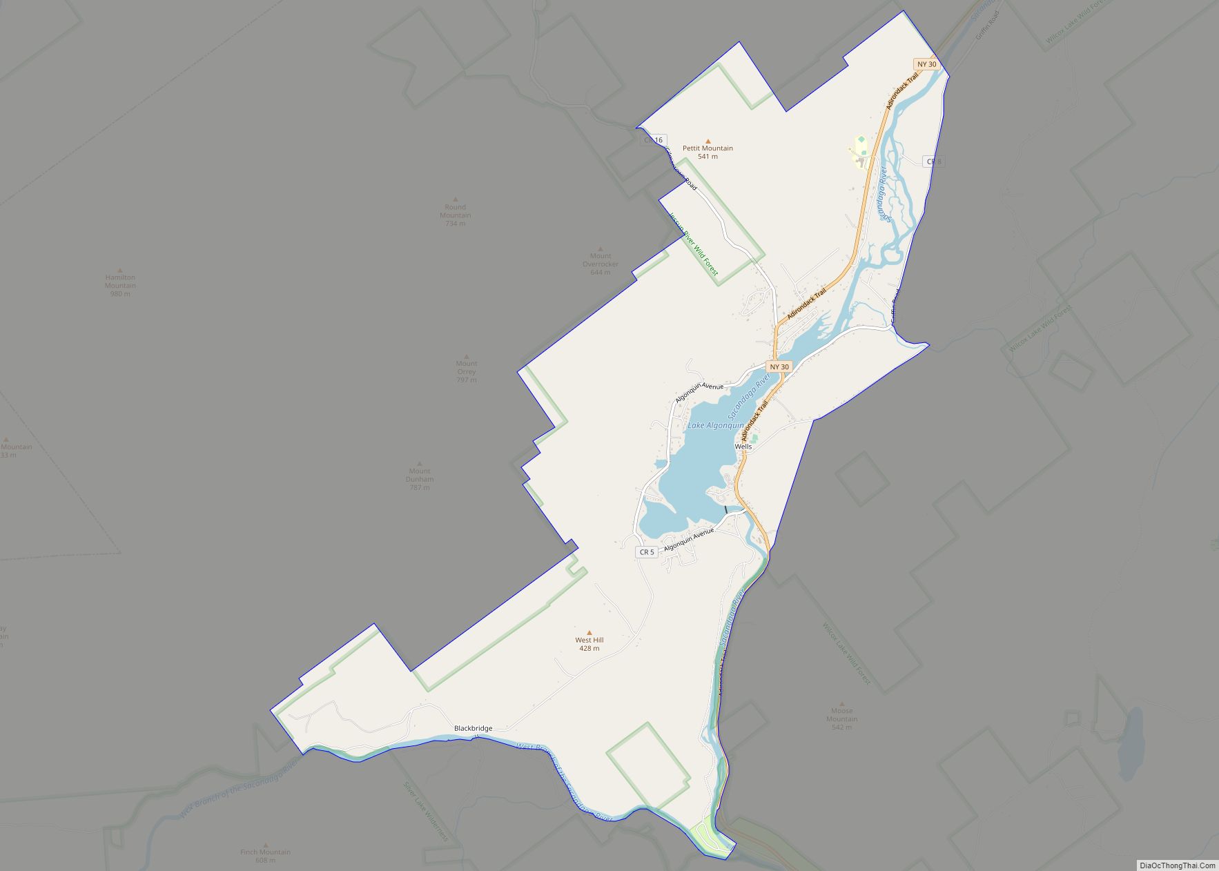
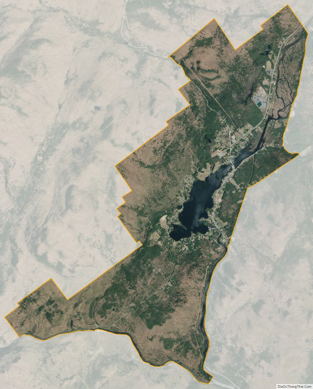
Wells city Satellite Map
Geography
The community is in the southern part of the town of Wells, in southeastern Hamilton County, surrounding Lake Algonquin on the Sacandaga River. The CDP extends south as far as the West Branch of the Sacandaga. New York State Route 30 passes through the center of the community, leading north 13 miles (21 km) to Speculator and south 15 miles (24 km) to Northville.
See also
Map of New York State and its subdivision:- Albany
- Allegany
- Bronx
- Broome
- Cattaraugus
- Cayuga
- Chautauqua
- Chemung
- Chenango
- Clinton
- Columbia
- Cortland
- Delaware
- Dutchess
- Erie
- Essex
- Franklin
- Fulton
- Genesee
- Greene
- Hamilton
- Herkimer
- Jefferson
- Kings
- Lake Ontario
- Lewis
- Livingston
- Madison
- Monroe
- Montgomery
- Nassau
- New York
- Niagara
- Oneida
- Onondaga
- Ontario
- Orange
- Orleans
- Oswego
- Otsego
- Putnam
- Queens
- Rensselaer
- Richmond
- Rockland
- Saint Lawrence
- Saratoga
- Schenectady
- Schoharie
- Schuyler
- Seneca
- Steuben
- Suffolk
- Sullivan
- Tioga
- Tompkins
- Ulster
- Warren
- Washington
- Wayne
- Westchester
- Wyoming
- Yates
- Alabama
- Alaska
- Arizona
- Arkansas
- California
- Colorado
- Connecticut
- Delaware
- District of Columbia
- Florida
- Georgia
- Hawaii
- Idaho
- Illinois
- Indiana
- Iowa
- Kansas
- Kentucky
- Louisiana
- Maine
- Maryland
- Massachusetts
- Michigan
- Minnesota
- Mississippi
- Missouri
- Montana
- Nebraska
- Nevada
- New Hampshire
- New Jersey
- New Mexico
- New York
- North Carolina
- North Dakota
- Ohio
- Oklahoma
- Oregon
- Pennsylvania
- Rhode Island
- South Carolina
- South Dakota
- Tennessee
- Texas
- Utah
- Vermont
- Virginia
- Washington
- West Virginia
- Wisconsin
- Wyoming