West Bay Shore is a hamlet and census-designated place (CDP) in the Town of Islip, Suffolk County, New York, United States. Its population was 4,648 at the 2010 census.
| Name: | West Bay Shore CDP |
|---|---|
| LSAD Code: | 57 |
| LSAD Description: | CDP (suffix) |
| State: | New York |
| County: | Suffolk County |
| Elevation: | 13 ft (4 m) |
| Total Area: | 5.41 sq mi (14.00 km²) |
| Land Area: | 2.18 sq mi (5.65 km²) |
| Water Area: | 3.22 sq mi (8.35 km²) |
| Total Population: | 4,625 |
| Population Density: | 2,118.64/sq mi (817.89/km²) |
| ZIP code: | 11706 |
| Area code: | 631 |
| FIPS code: | 3679301 |
| GNISfeature ID: | 0969094 |
Online Interactive Map
Click on ![]() to view map in "full screen" mode.
to view map in "full screen" mode.
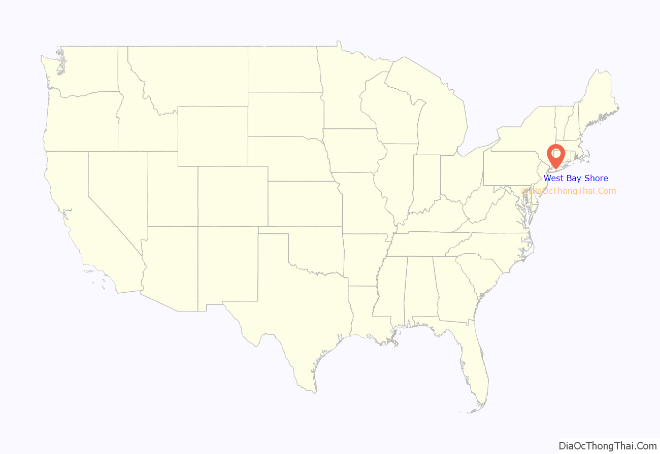
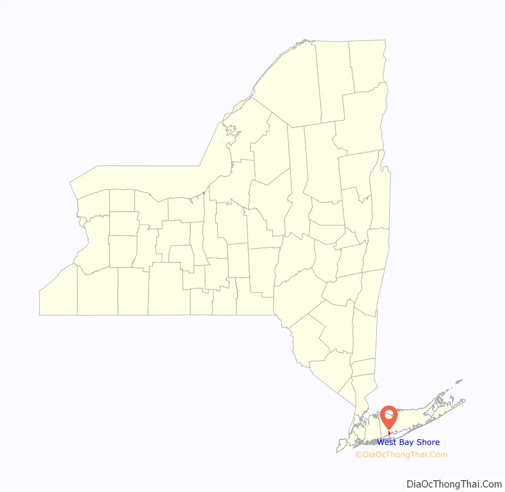
West Bay Shore location map. Where is West Bay Shore CDP?
History
Sagtikos Manor is one of the oldest structures in the Town of Islip. The original structure, which was later expanded, was built in 1697 by New York City’s first native-born mayor, Stephanus Van Cortlandt. The manor functioned for a time, during the American Revolution, as local headquarters for British forces under General Sir Henry Clinton. George Washington used it as a stopover during a 1790 tour of Long Island. It was added to the National Register of Historic Places in 1976.
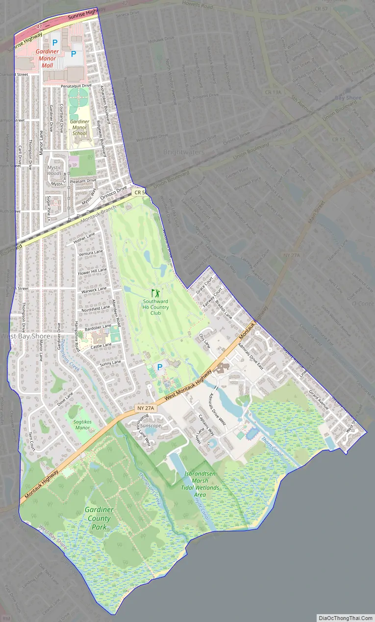
West Bay Shore Road Map
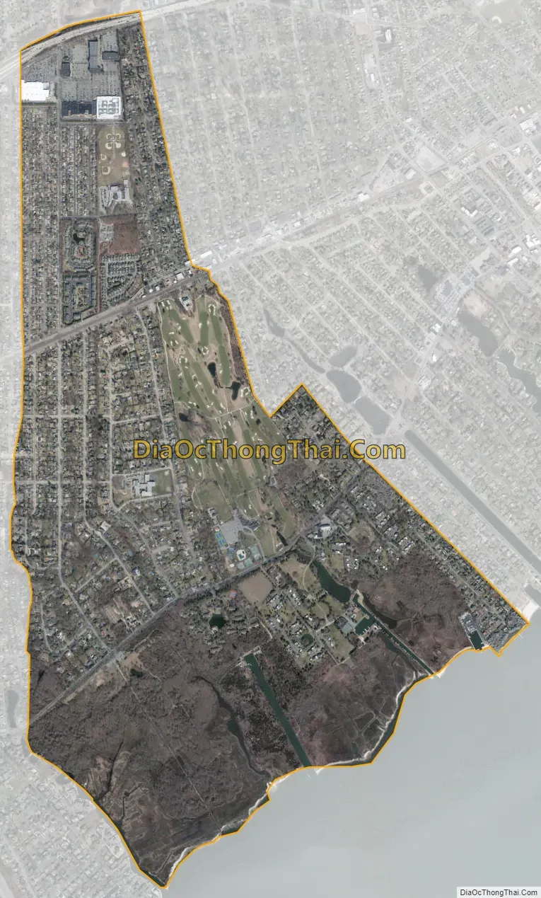
West Bay Shore city Satellite Map
Geography
According to the United States Census Bureau, the CDP has a total area of 2.3 square miles (5.9 km), of which 2.2 square miles (5.7 km) is land and 0.08 square miles (0.2 km), or 4.12%, is water.
See also
Map of New York State and its subdivision:- Albany
- Allegany
- Bronx
- Broome
- Cattaraugus
- Cayuga
- Chautauqua
- Chemung
- Chenango
- Clinton
- Columbia
- Cortland
- Delaware
- Dutchess
- Erie
- Essex
- Franklin
- Fulton
- Genesee
- Greene
- Hamilton
- Herkimer
- Jefferson
- Kings
- Lake Ontario
- Lewis
- Livingston
- Madison
- Monroe
- Montgomery
- Nassau
- New York
- Niagara
- Oneida
- Onondaga
- Ontario
- Orange
- Orleans
- Oswego
- Otsego
- Putnam
- Queens
- Rensselaer
- Richmond
- Rockland
- Saint Lawrence
- Saratoga
- Schenectady
- Schoharie
- Schuyler
- Seneca
- Steuben
- Suffolk
- Sullivan
- Tioga
- Tompkins
- Ulster
- Warren
- Washington
- Wayne
- Westchester
- Wyoming
- Yates
- Alabama
- Alaska
- Arizona
- Arkansas
- California
- Colorado
- Connecticut
- Delaware
- District of Columbia
- Florida
- Georgia
- Hawaii
- Idaho
- Illinois
- Indiana
- Iowa
- Kansas
- Kentucky
- Louisiana
- Maine
- Maryland
- Massachusetts
- Michigan
- Minnesota
- Mississippi
- Missouri
- Montana
- Nebraska
- Nevada
- New Hampshire
- New Jersey
- New Mexico
- New York
- North Carolina
- North Dakota
- Ohio
- Oklahoma
- Oregon
- Pennsylvania
- Rhode Island
- South Carolina
- South Dakota
- Tennessee
- Texas
- Utah
- Vermont
- Virginia
- Washington
- West Virginia
- Wisconsin
- Wyoming


