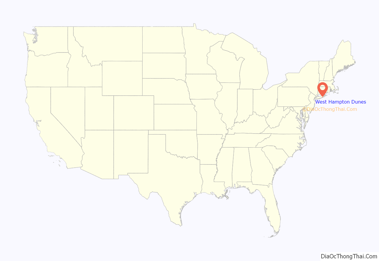
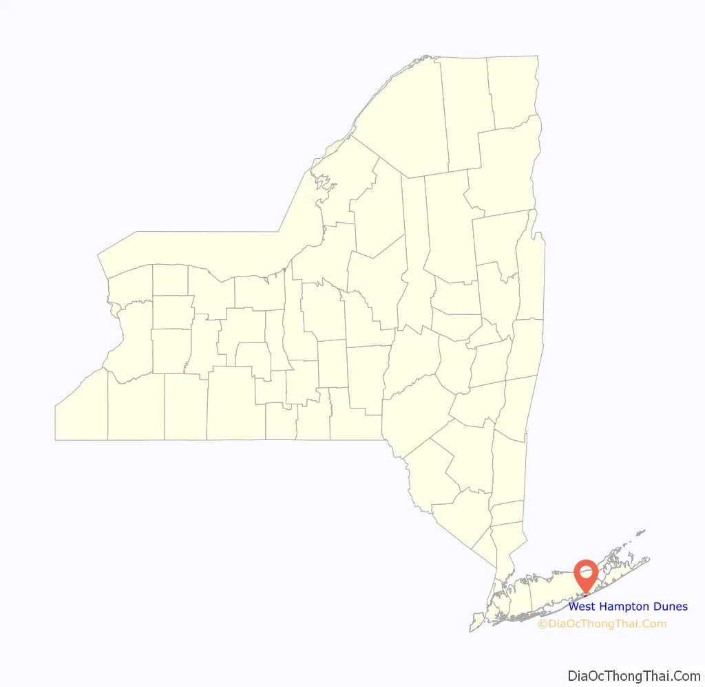
West Hampton Dunes is an incorporated village in the Town of Southampton on Westhampton Island, in Suffolk County, in New York, United States, off the South Shore of Long Island. The population was 55 at the 2010 census.
| Name: | West Hampton Dunes village |
|---|---|
| LSAD Code: | 47 |
| LSAD Description: | village (suffix) |
| State: | New York |
| County: | Suffolk County |
| Incorporated: | 1993 |
| Elevation: | 7 ft (2 m) |
| Total Area: | 0.37 sq mi (0.95 km²) |
| Land Area: | 0.31 sq mi (0.81 km²) |
| Water Area: | 0.05 sq mi (0.14 km²) |
| Total Population: | 126 |
| Population Density: | 402.56/sq mi (155.55/km²) |
| ZIP code: | 11978 |
| Area code: | 631 |
| FIPS code: | 3680186 |
| GNISfeature ID: | 0979943 |
| Website: | whdunes.org |
Online Interactive Map
Click on ![]() to view map in "full screen" mode.
to view map in "full screen" mode.
West Hampton Dunes location map. Where is West Hampton Dunes village?
History
West Hampton Dunes is located on a barrier island in the Town of Southampton. The barrier island was part of Fire Island until a nor’easter in 1931 split the island creating Moriches Inlet. The inlet created a geographic oddity whereby the town of Brookhaven actually has jurisdiction on land immediately west of West Hampton Dunes although Brookhaven land access to it involves a nearly 20-mile (32 km) drive through Southampton.
The village incorporated in 1993 in attempt to have more control over its precarious state since it was obliterated in the Great Hurricane of 1938, 1991 Halloween Nor’easter (“The Perfect Storm”) and again in a 1992 nor’easter. Specifically, the village wanted to have a say in U.S. Army Corps of Engineers handling of the barrier beach—particularly in response to a series of groynes at Shinnecock Inlet that have created major beach erosion “downstream” in the longshore drift. Almost immediately after incorporation, Gary Vegliante, the village’s first and to date only mayor, sued the U.S. Army Corps of Engineers for $200 million. The Corps settled the suit and began replenishing the beach leading to a building boom on what had been a devastated empty section of beach.
The American Shore and Beach Preservation Association named West Hampton Dunes one of America’s top restored beaches. In 2007, resident Yale Nelson finished a documentary on the town history which premiered October 20, 2007, in Westhampton at the Hamptons Film Festival.
In 1996, West Hampton Dunes was the closest community to the crash of TWA Flight 800, which occurred in the ocean about 8 miles (13 km) due south of it, although news reports focused on the much larger communities across Moriches Bay that provided the water response.
Police
In 1996, the village, under the authority of a court order, formed a law enforcement agency to better serve the needs of the community. The West Hampton Dunes Police Constabulary consists of approximately 12 members, including a department commissioner and two sergeants. The members are certified as peace officers with the New York State Division of Criminal Justice Services (DCJS) and are trained at either the Suffolk Police and/or Suffolk Sheriffs academy. The members of the department also receive the required DCJS courses for peace officers to perform traffic enforcement duties including Radar/LIDAR, Standard Field Sobriety, and Basic Crash Management.
West Hampton Dunes Road Map
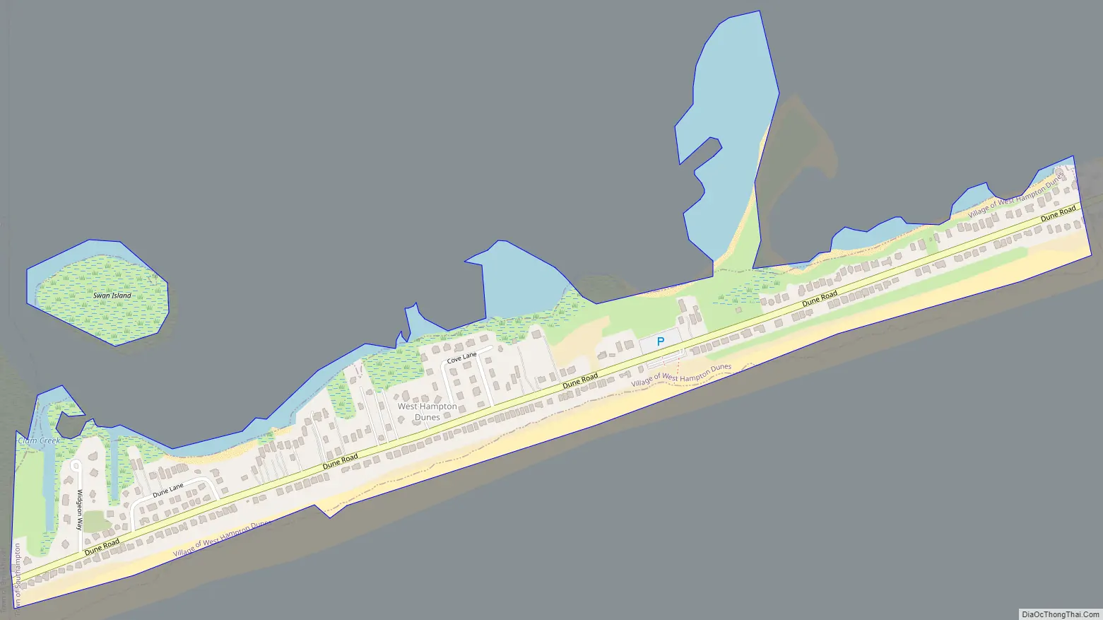
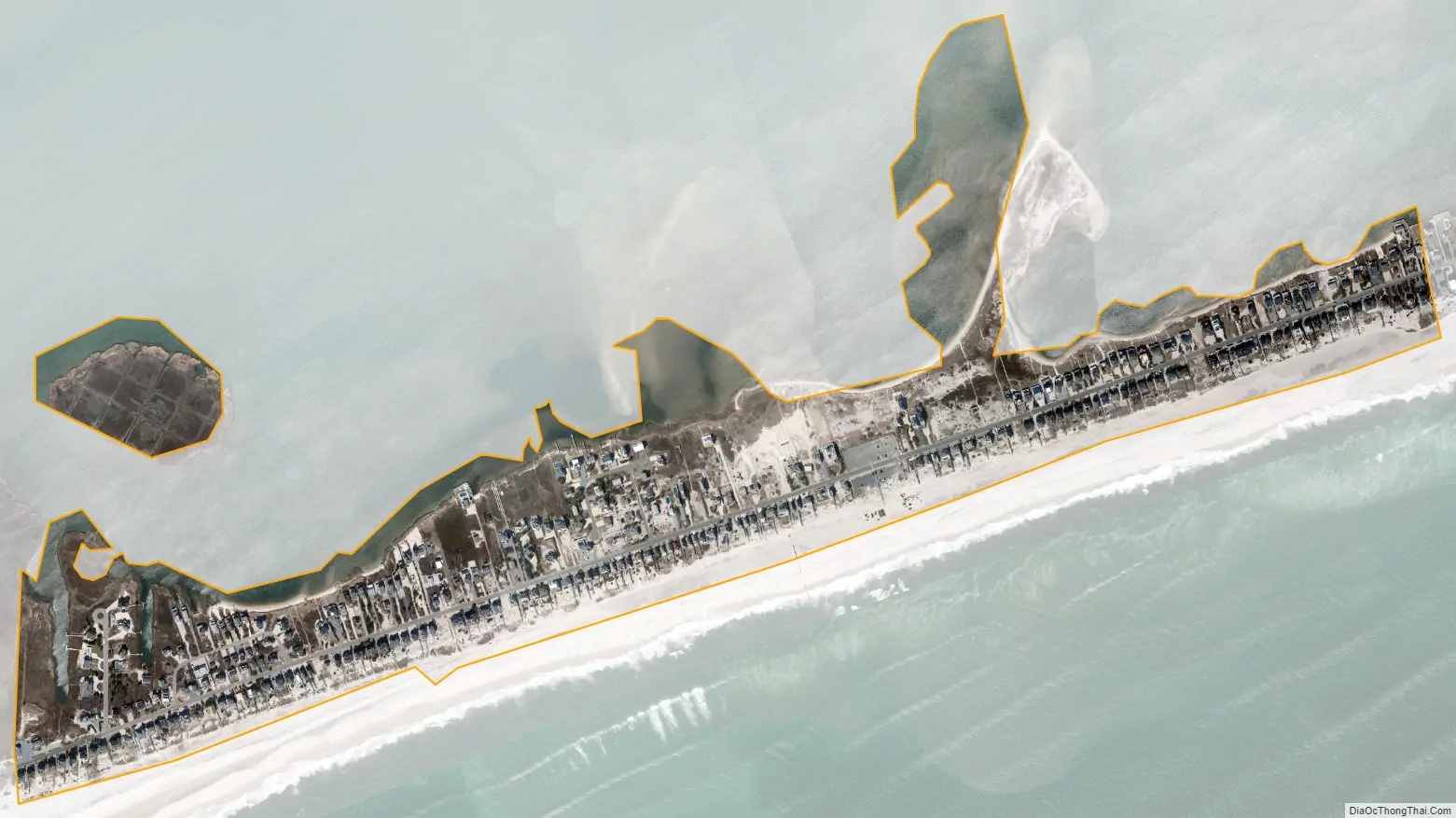
West Hampton Dunes city Satellite Map
Geography
According to the United States Census Bureau, the village has a total area of 3.9 square miles (10.1 km), of which 0.35 square miles (0.9 km) is land and 0.077 square miles (0.2 km), or 20.45%, is water.
See also
Map of New York State and its subdivision:- Albany
- Allegany
- Bronx
- Broome
- Cattaraugus
- Cayuga
- Chautauqua
- Chemung
- Chenango
- Clinton
- Columbia
- Cortland
- Delaware
- Dutchess
- Erie
- Essex
- Franklin
- Fulton
- Genesee
- Greene
- Hamilton
- Herkimer
- Jefferson
- Kings
- Lake Ontario
- Lewis
- Livingston
- Madison
- Monroe
- Montgomery
- Nassau
- New York
- Niagara
- Oneida
- Onondaga
- Ontario
- Orange
- Orleans
- Oswego
- Otsego
- Putnam
- Queens
- Rensselaer
- Richmond
- Rockland
- Saint Lawrence
- Saratoga
- Schenectady
- Schoharie
- Schuyler
- Seneca
- Steuben
- Suffolk
- Sullivan
- Tioga
- Tompkins
- Ulster
- Warren
- Washington
- Wayne
- Westchester
- Wyoming
- Yates
- Alabama
- Alaska
- Arizona
- Arkansas
- California
- Colorado
- Connecticut
- Delaware
- District of Columbia
- Florida
- Georgia
- Hawaii
- Idaho
- Illinois
- Indiana
- Iowa
- Kansas
- Kentucky
- Louisiana
- Maine
- Maryland
- Massachusetts
- Michigan
- Minnesota
- Mississippi
- Missouri
- Montana
- Nebraska
- Nevada
- New Hampshire
- New Jersey
- New Mexico
- New York
- North Carolina
- North Dakota
- Ohio
- Oklahoma
- Oregon
- Pennsylvania
- Rhode Island
- South Carolina
- South Dakota
- Tennessee
- Texas
- Utah
- Vermont
- Virginia
- Washington
- West Virginia
- Wisconsin
- Wyoming


