West Hempstead is a hamlet and census-designated place (CDP) in the Town of Hempstead in Nassau County, on Long Island, in New York, United States. The population was 19,835 at the 2020 census. It is an unincorporated area in the Town of Hempstead and is represented by Councilman Edward Ambrosino.
The residents in the hamlet had once unsuccessfully proposed to change their hamlet’s name to Mayfair Park.
| Name: | West Hempstead CDP |
|---|---|
| LSAD Code: | 57 |
| LSAD Description: | CDP (suffix) |
| State: | New York |
| County: | Nassau County |
| Elevation: | 66 ft (20 m) |
| Total Area: | 2.73 sq mi (7.07 km²) |
| Land Area: | 2.66 sq mi (6.88 km²) |
| Water Area: | 0.07 sq mi (0.18 km²) |
| Total Population: | 19,835 |
| Population Density: | 7,462.38/sq mi (2,881.44/km²) |
| ZIP code: | 11552 |
| Area code: | 516 |
| FIPS code: | 3680225 |
| GNISfeature ID: | 0969246 |
Online Interactive Map
Click on ![]() to view map in "full screen" mode.
to view map in "full screen" mode.
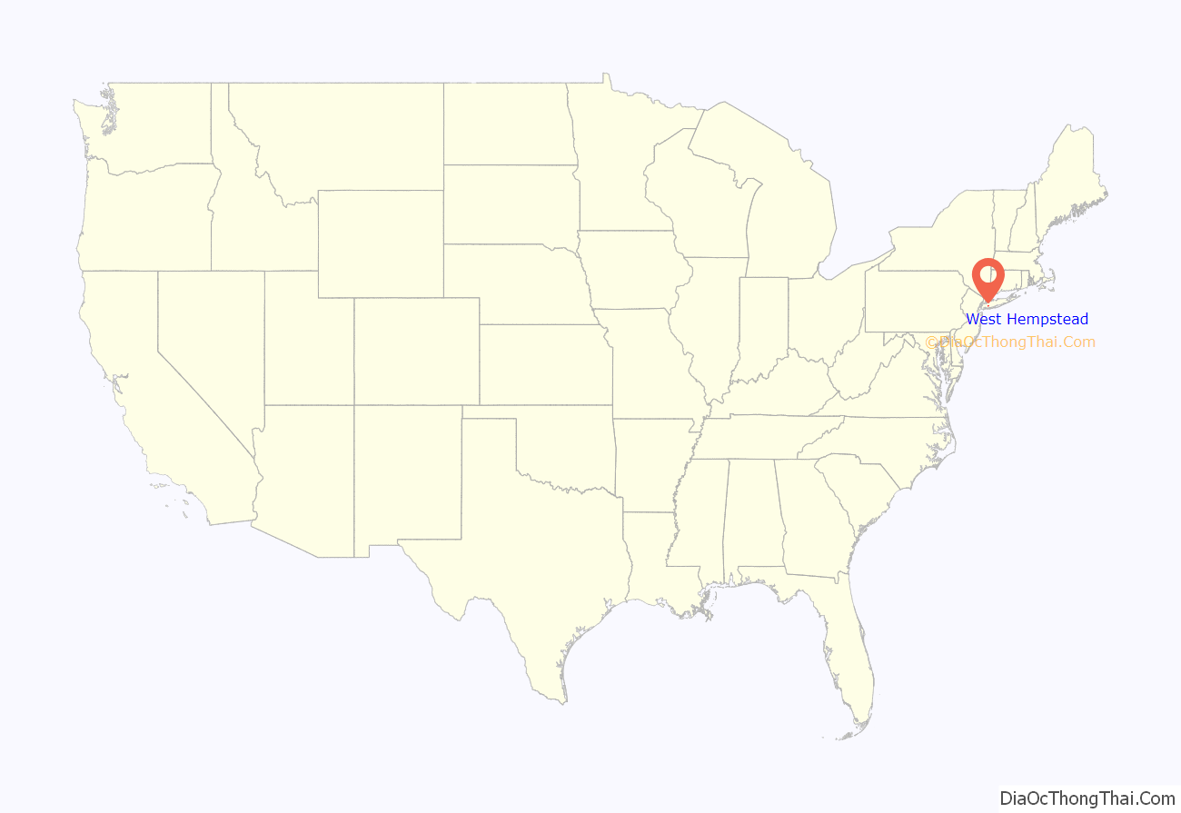
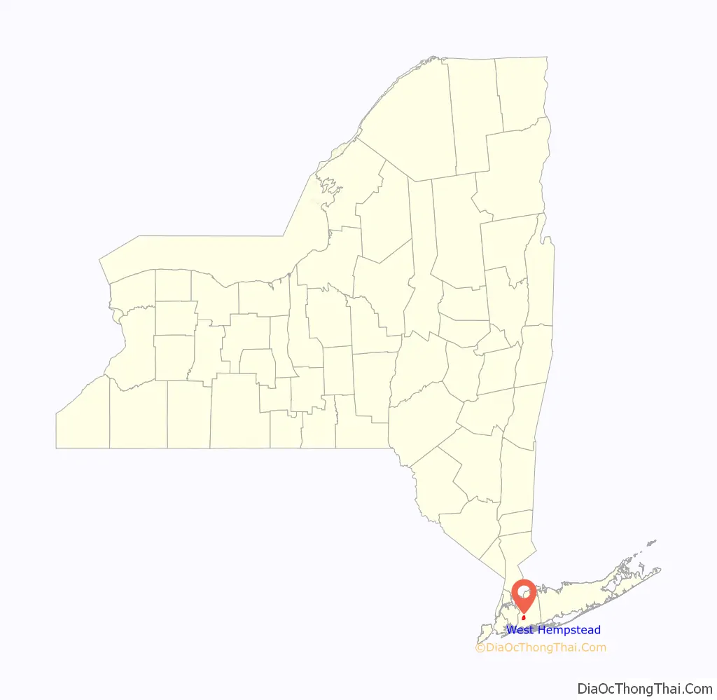
West Hempstead location map. Where is West Hempstead CDP?
History
West Hempstead first appeared on maps as the name of a Long Island Railroad station in 1893. There are three railroad stations within its borders: West Hempstead, Hempstead Gardens, and Lakeview. The line continues to Valley Stream where it joins the Babylon Branch. Halls Pond Park, the main park within West Hempstead, was dedicated by Nassau County in 1961. The smaller Echo Park contains a public indoor pool. Its name is derived from the community’s first four little league teams: Eagles, Cardinals, Hawks, and Orioles. In 1956, the West Hempstead Public Library was founded and chartered by the State in 1967. Its present 28,000 square-foot facility was completed in 2007.
In 2001, residents of West Hempstead held a nonbinding referendum on renaming the community. The vote followed a two-year effort by the West Hempstead Civic Association and the West Hempstead Chamber of Commerce to give the community a unique name, distancing itself from the neighboring crime ridden Hempstead. By a 94-vote margin, West Hempstead retained its name over the proposed Mayfair Gardens.
West Hempstead is easily accessed from the Southern State Parkway at Exit 17N.
The West Hempstead Union Free School District currently operates 5 schools; 1 kindergarten, 2 elementary, 1 middle school and 1 high school.
West Hempstead’s name reflects upon the fact that it is located immediately west of the Village of Hempstead.
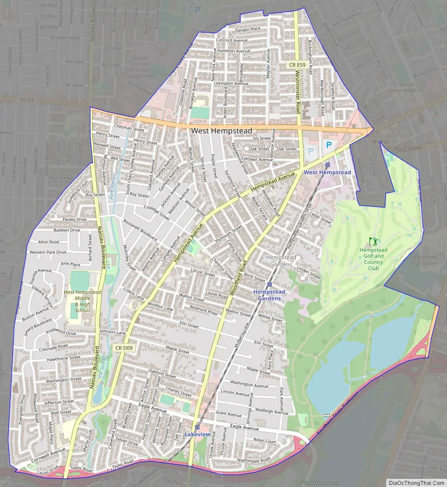
West Hempstead Road Map
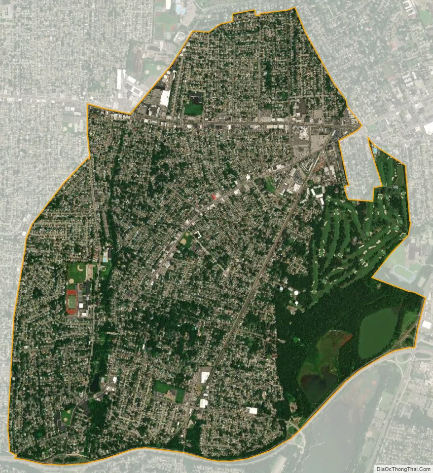
West Hempstead city Satellite Map
Geography
According to the United States Census Bureau, the CDP has a total area of 2.8 square miles (7.3 km), of which 2.7 square miles (7.0 km) is land and 0.1 square miles (0.26 km) (3.64%) is water.
West Hempstead lies on a gently sloping terrain between the Hempstead Plains and the Atlantic Ocean. Pine Stream runs through the center of West Hempstead, feeding into Halls Pond. The community is bordered on the east by Hempstead Lake State Park and on the south by the Southern State Parkway.
See also
Map of New York State and its subdivision:- Albany
- Allegany
- Bronx
- Broome
- Cattaraugus
- Cayuga
- Chautauqua
- Chemung
- Chenango
- Clinton
- Columbia
- Cortland
- Delaware
- Dutchess
- Erie
- Essex
- Franklin
- Fulton
- Genesee
- Greene
- Hamilton
- Herkimer
- Jefferson
- Kings
- Lake Ontario
- Lewis
- Livingston
- Madison
- Monroe
- Montgomery
- Nassau
- New York
- Niagara
- Oneida
- Onondaga
- Ontario
- Orange
- Orleans
- Oswego
- Otsego
- Putnam
- Queens
- Rensselaer
- Richmond
- Rockland
- Saint Lawrence
- Saratoga
- Schenectady
- Schoharie
- Schuyler
- Seneca
- Steuben
- Suffolk
- Sullivan
- Tioga
- Tompkins
- Ulster
- Warren
- Washington
- Wayne
- Westchester
- Wyoming
- Yates
- Alabama
- Alaska
- Arizona
- Arkansas
- California
- Colorado
- Connecticut
- Delaware
- District of Columbia
- Florida
- Georgia
- Hawaii
- Idaho
- Illinois
- Indiana
- Iowa
- Kansas
- Kentucky
- Louisiana
- Maine
- Maryland
- Massachusetts
- Michigan
- Minnesota
- Mississippi
- Missouri
- Montana
- Nebraska
- Nevada
- New Hampshire
- New Jersey
- New Mexico
- New York
- North Carolina
- North Dakota
- Ohio
- Oklahoma
- Oregon
- Pennsylvania
- Rhode Island
- South Carolina
- South Dakota
- Tennessee
- Texas
- Utah
- Vermont
- Virginia
- Washington
- West Virginia
- Wisconsin
- Wyoming


