West Sayville is a hamlet and census-designated place (CDP) in Suffolk County, New York, United States. It had a population of 5,011 at the 2010 census.
| Name: | West Sayville CDP |
|---|---|
| LSAD Code: | 57 |
| LSAD Description: | CDP (suffix) |
| State: | New York |
| County: | Suffolk County |
| Elevation: | 13 ft (4 m) |
| Total Area: | 2.11 sq mi (5.47 km²) |
| Land Area: | 1.92 sq mi (4.97 km²) |
| Water Area: | 0.19 sq mi (0.50 km²) |
| Total Population: | 4,872 |
| Population Density: | 2,538.82/sq mi (980.27/km²) |
| ZIP code: | 11796 |
| Area code: | 631 |
| FIPS code: | 3680885 |
| GNISfeature ID: | 0970860 |
Online Interactive Map
Click on ![]() to view map in "full screen" mode.
to view map in "full screen" mode.
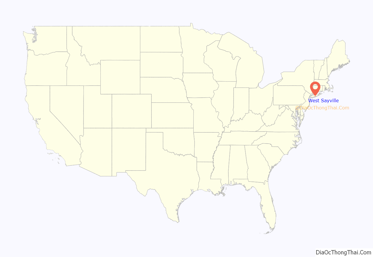
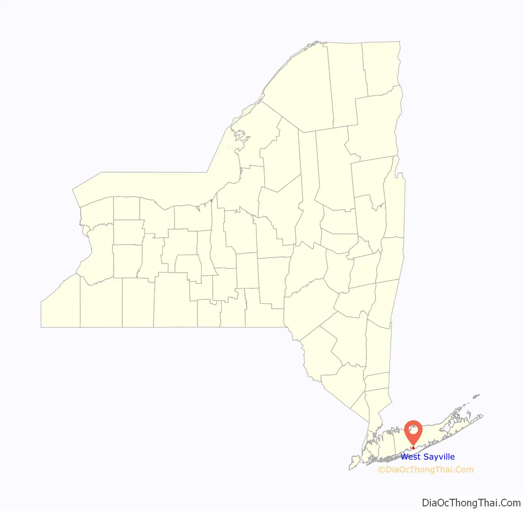
West Sayville location map. Where is West Sayville CDP?
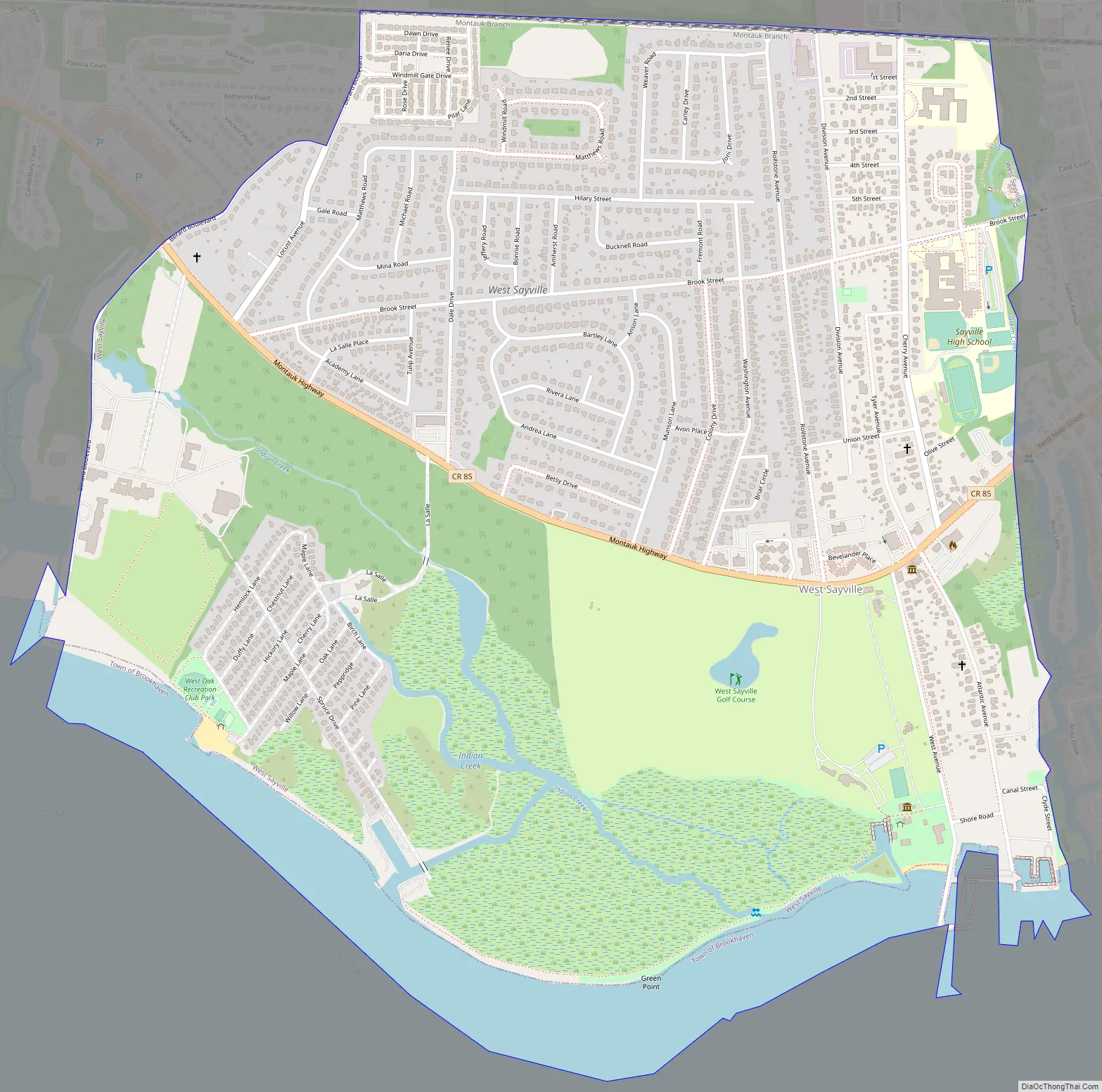
West Sayville Road Map
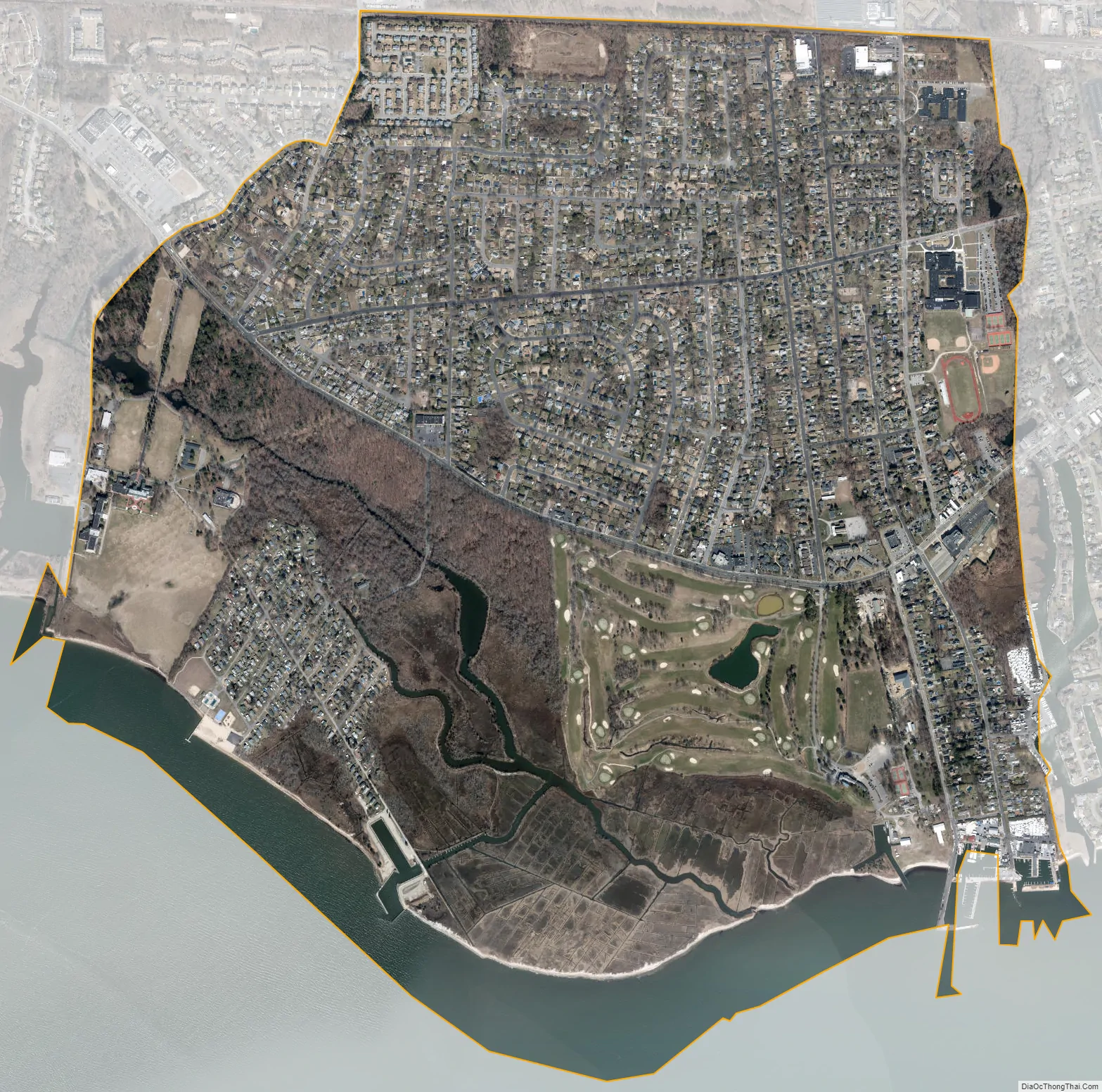
West Sayville city Satellite Map
Geography
West Sayville is located on the South Shore of Long Island in the Town of Islip. Its coordinates are 40°43’54”N 73°6’18”W (40.731594, -73.099701). West Sayville’s coastline borders the Great South Bay.
According to the U.S. Census Bureau, West Sayville has a total area of 2.10 square miles (5.45 km), of which 2.10 square miles (5.44 km) is land and 0.0077 square miles (0.02 km), or 0.31%, is water.
West Sayville’s ZIP code is 11796. The West Sayville Post Office is located at 12 Washington Avenue.
See also
Map of New York State and its subdivision:- Albany
- Allegany
- Bronx
- Broome
- Cattaraugus
- Cayuga
- Chautauqua
- Chemung
- Chenango
- Clinton
- Columbia
- Cortland
- Delaware
- Dutchess
- Erie
- Essex
- Franklin
- Fulton
- Genesee
- Greene
- Hamilton
- Herkimer
- Jefferson
- Kings
- Lake Ontario
- Lewis
- Livingston
- Madison
- Monroe
- Montgomery
- Nassau
- New York
- Niagara
- Oneida
- Onondaga
- Ontario
- Orange
- Orleans
- Oswego
- Otsego
- Putnam
- Queens
- Rensselaer
- Richmond
- Rockland
- Saint Lawrence
- Saratoga
- Schenectady
- Schoharie
- Schuyler
- Seneca
- Steuben
- Suffolk
- Sullivan
- Tioga
- Tompkins
- Ulster
- Warren
- Washington
- Wayne
- Westchester
- Wyoming
- Yates
- Alabama
- Alaska
- Arizona
- Arkansas
- California
- Colorado
- Connecticut
- Delaware
- District of Columbia
- Florida
- Georgia
- Hawaii
- Idaho
- Illinois
- Indiana
- Iowa
- Kansas
- Kentucky
- Louisiana
- Maine
- Maryland
- Massachusetts
- Michigan
- Minnesota
- Mississippi
- Missouri
- Montana
- Nebraska
- Nevada
- New Hampshire
- New Jersey
- New Mexico
- New York
- North Carolina
- North Dakota
- Ohio
- Oklahoma
- Oregon
- Pennsylvania
- Rhode Island
- South Carolina
- South Dakota
- Tennessee
- Texas
- Utah
- Vermont
- Virginia
- Washington
- West Virginia
- Wisconsin
- Wyoming


