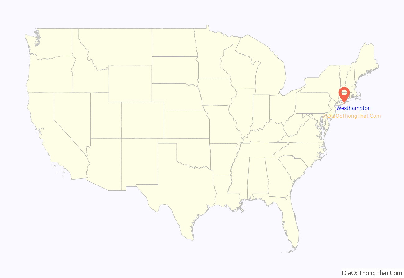
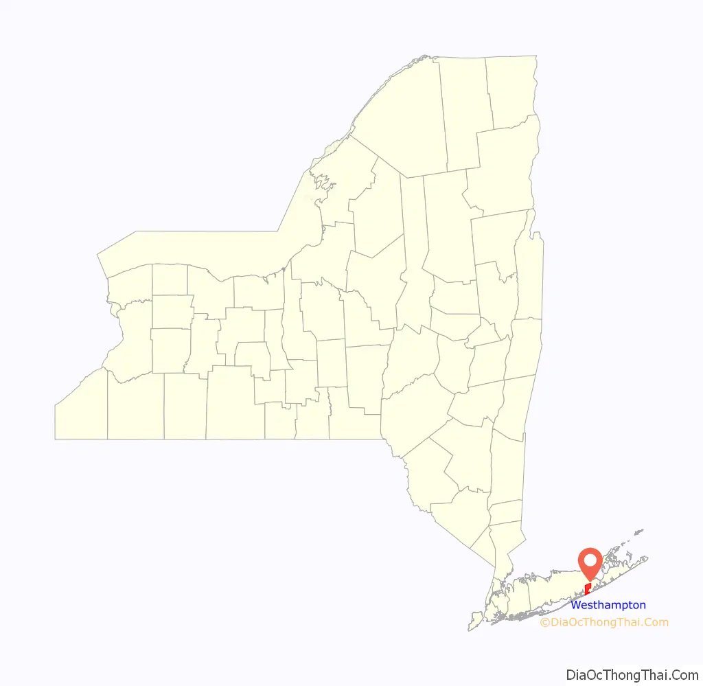
Westhampton is a hamlet and census-designated place (CDP) in Suffolk County, New York, United States. The population was 3,079 at the 2010 census.
Westhampton is in the Town of Southampton.
| Name: | Westhampton CDP |
|---|---|
| LSAD Code: | 57 |
| LSAD Description: | CDP (suffix) |
| State: | New York |
| County: | Suffolk County |
| Elevation: | 36 ft (11 m) |
| Total Area: | 14.85 sq mi (38.47 km²) |
| Land Area: | 12.64 sq mi (32.75 km²) |
| Water Area: | 2.21 sq mi (5.72 km²) |
| Total Population: | 3,621 |
| Population Density: | 286.38/sq mi (110.57/km²) |
| ZIP code: | 11977 |
| Area code: | 631 |
| FIPS code: | 3680170 |
| GNISfeature ID: | 0970920 |
Online Interactive Map
Click on ![]() to view map in "full screen" mode.
to view map in "full screen" mode.
Westhampton location map. Where is Westhampton CDP?
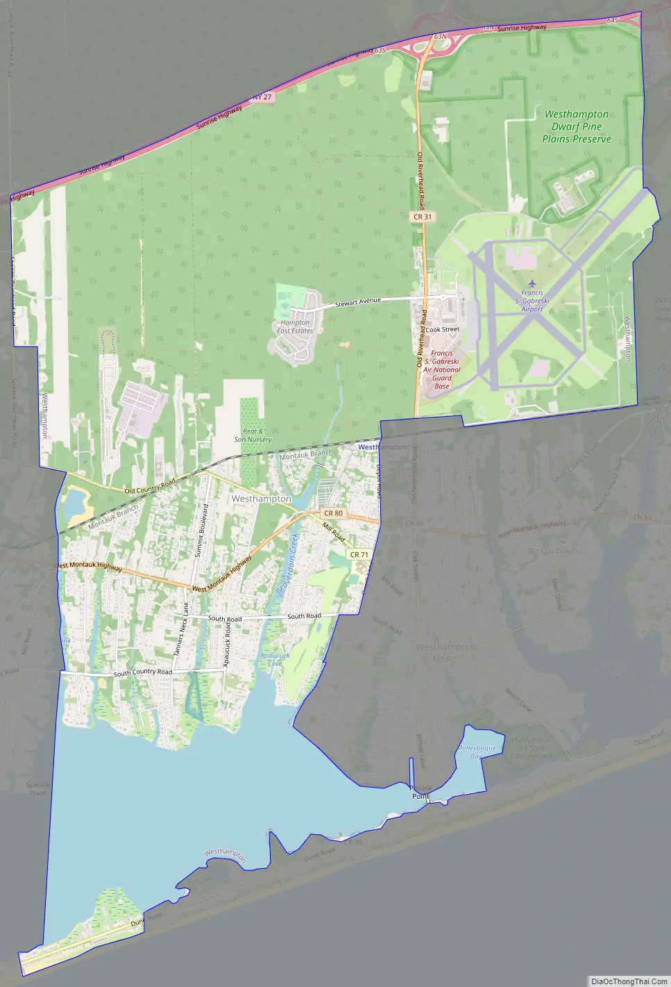
Westhampton Road Map
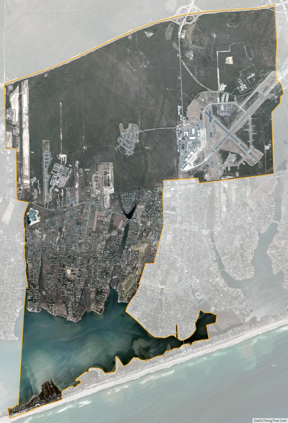
Westhampton city Satellite Map
Geography
Westhampton is located at 40°49′22″N 72°39′52″W / 40.82278°N 72.66444°W / 40.82278; -72.66444 (40.822894, -72.664306).
According to the United States Census Bureau, the CDP has a total area of 14.9 square miles (38.5 km), of which 12.7 square miles (32.8 km) is land and 2.2 square miles (5.7 km), or 14.74%, is water.
Climate
Westhampton has an oceanic climate (Cfb) under the Köppen climate classification, with moderately cold winters and warm summers. The plant hardiness is more similar to a humid continental climate (Dfb) although winter days are mild enough that Westhampton is unlikely to maintain long-term snow cover in a normal winter. Due to the lack of an urban environment and being away from the immediate coastline, the area has a lot colder nights than New York City. Westhampton sees an average of 43.4 inches of precipitation per year.
See also
Map of New York State and its subdivision:- Albany
- Allegany
- Bronx
- Broome
- Cattaraugus
- Cayuga
- Chautauqua
- Chemung
- Chenango
- Clinton
- Columbia
- Cortland
- Delaware
- Dutchess
- Erie
- Essex
- Franklin
- Fulton
- Genesee
- Greene
- Hamilton
- Herkimer
- Jefferson
- Kings
- Lake Ontario
- Lewis
- Livingston
- Madison
- Monroe
- Montgomery
- Nassau
- New York
- Niagara
- Oneida
- Onondaga
- Ontario
- Orange
- Orleans
- Oswego
- Otsego
- Putnam
- Queens
- Rensselaer
- Richmond
- Rockland
- Saint Lawrence
- Saratoga
- Schenectady
- Schoharie
- Schuyler
- Seneca
- Steuben
- Suffolk
- Sullivan
- Tioga
- Tompkins
- Ulster
- Warren
- Washington
- Wayne
- Westchester
- Wyoming
- Yates
- Alabama
- Alaska
- Arizona
- Arkansas
- California
- Colorado
- Connecticut
- Delaware
- District of Columbia
- Florida
- Georgia
- Hawaii
- Idaho
- Illinois
- Indiana
- Iowa
- Kansas
- Kentucky
- Louisiana
- Maine
- Maryland
- Massachusetts
- Michigan
- Minnesota
- Mississippi
- Missouri
- Montana
- Nebraska
- Nevada
- New Hampshire
- New Jersey
- New Mexico
- New York
- North Carolina
- North Dakota
- Ohio
- Oklahoma
- Oregon
- Pennsylvania
- Rhode Island
- South Carolina
- South Dakota
- Tennessee
- Texas
- Utah
- Vermont
- Virginia
- Washington
- West Virginia
- Wisconsin
- Wyoming


