Westhampton Beach is an incorporated village in the Town of Southampton, in Suffolk County, on the South Shore of Long Island, in New York, United States. As of the 2010 census, the population was 1,721.
| Name: | Westhampton Beach village |
|---|---|
| LSAD Code: | 47 |
| LSAD Description: | village (suffix) |
| State: | New York |
| County: | Suffolk County |
| Incorporated: | 1928 |
| Elevation: | 7 ft (2 m) |
| Total Area: | 3.01 sq mi (7.79 km²) |
| Land Area: | 2.94 sq mi (7.62 km²) |
| Water Area: | 0.07 sq mi (0.17 km²) |
| Total Population: | 2,150 |
| Population Density: | 731.29/sq mi (282.31/km²) |
| ZIP code: | 11978 |
| Area code: | 631 |
| FIPS code: | 3680181 |
| GNISfeature ID: | 0970921 |
| Website: | westhamptonbeach.org |
Online Interactive Map
Click on ![]() to view map in "full screen" mode.
to view map in "full screen" mode.
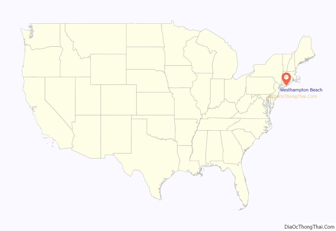
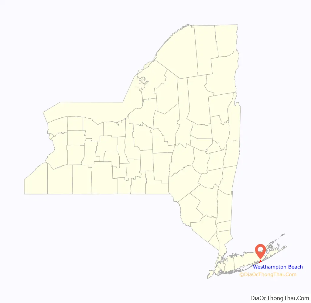
Westhampton Beach location map. Where is Westhampton Beach village?
History
Westhampton Beach Village was incorporated in 1928. In 1938, almost all summer homes on its barrier beach were obliterated by a hurricane resulting in twenty-nine local deaths.
Like most of the shoreline of southern Long Island, the beach at Westhampton Beach was eroding shoreward. This became a political issue in the 1960s. The project to protect the beaches in the area from further erosion was started by the Army Corps of Engineers in 1966, but was only partially completed because of the failure to secure funds from the state and local government. In addition the project design was seriously flawed. As a result, there was increased erosion at the beaches in Westhampton Beach while, up current, the beaches actually grew. During the late 1970s and through the 1980s, beach homes were washed away with every severe storm (nor’easter) that hit the coast. It was only after the nor’easter of November 1992 destroyed over eighty homes, that the Army Corps of Engineers began renewed repair efforts. In the mid-1990s, fifteen historic houses were relocated by the Army Corps of Engineers. The homes were moved off the beach and out of harm’s way, at least for a while, but the beach is still eroding and addition damage is incurred with every storm. Additional work was required after Hurricane Sandy in 2012.
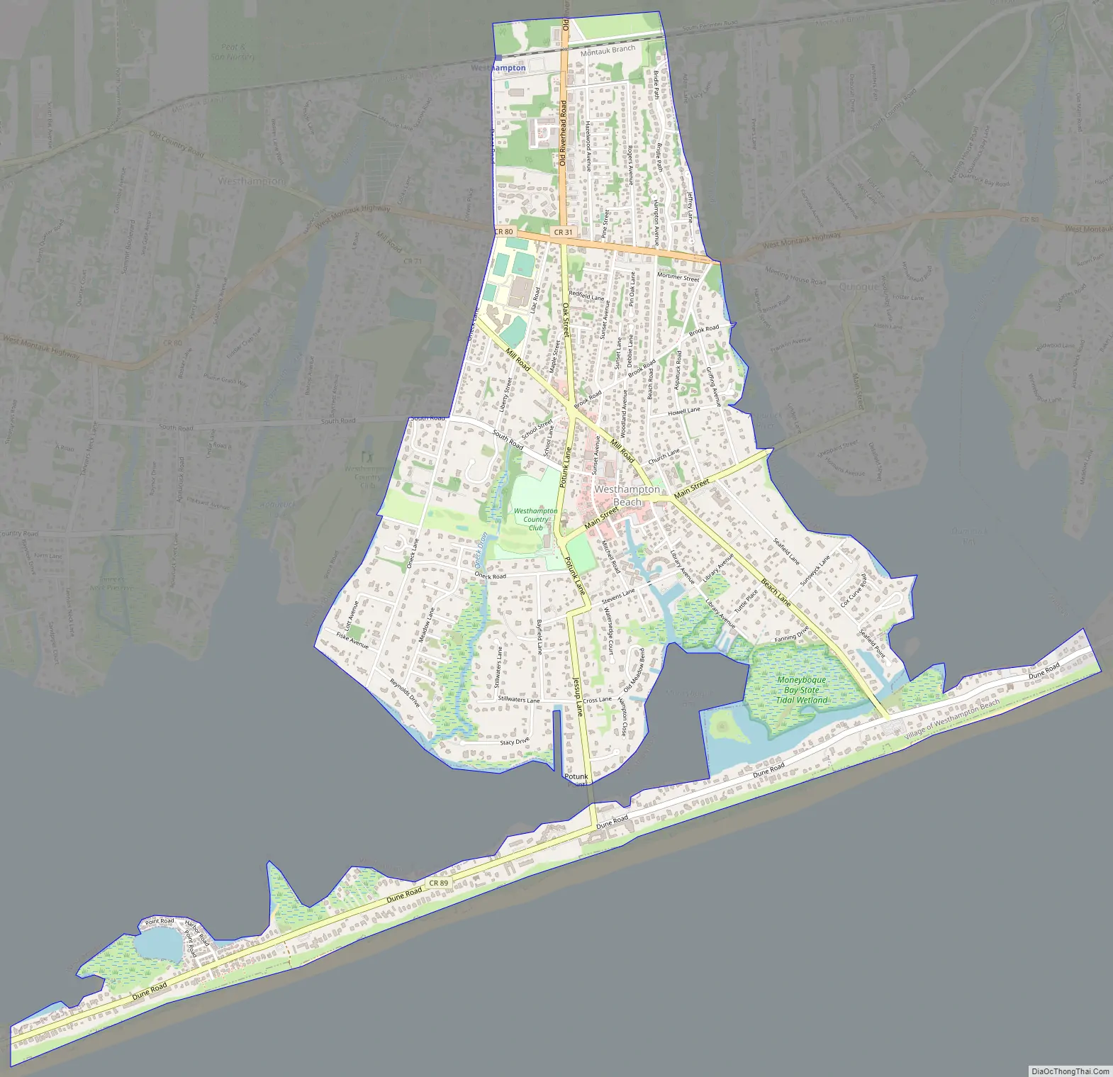
Westhampton Beach Road Map
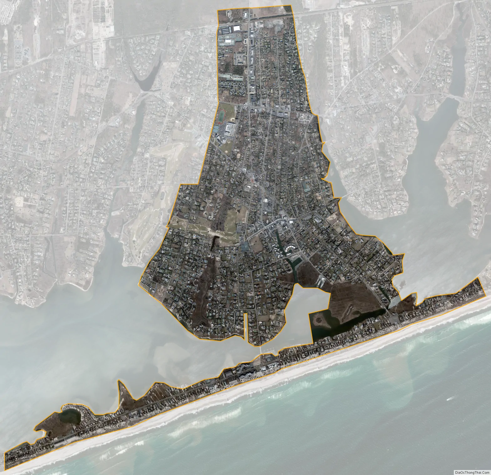
Westhampton Beach city Satellite Map
Geography
According to the United States Census Bureau, the village has a total area of 3.0 square miles (7.8 km), of which 2.9 square miles (7.5 km) is land and 0.1 square miles (0.26 km), or 2.35%, is water.
See also
Map of New York State and its subdivision:- Albany
- Allegany
- Bronx
- Broome
- Cattaraugus
- Cayuga
- Chautauqua
- Chemung
- Chenango
- Clinton
- Columbia
- Cortland
- Delaware
- Dutchess
- Erie
- Essex
- Franklin
- Fulton
- Genesee
- Greene
- Hamilton
- Herkimer
- Jefferson
- Kings
- Lake Ontario
- Lewis
- Livingston
- Madison
- Monroe
- Montgomery
- Nassau
- New York
- Niagara
- Oneida
- Onondaga
- Ontario
- Orange
- Orleans
- Oswego
- Otsego
- Putnam
- Queens
- Rensselaer
- Richmond
- Rockland
- Saint Lawrence
- Saratoga
- Schenectady
- Schoharie
- Schuyler
- Seneca
- Steuben
- Suffolk
- Sullivan
- Tioga
- Tompkins
- Ulster
- Warren
- Washington
- Wayne
- Westchester
- Wyoming
- Yates
- Alabama
- Alaska
- Arizona
- Arkansas
- California
- Colorado
- Connecticut
- Delaware
- District of Columbia
- Florida
- Georgia
- Hawaii
- Idaho
- Illinois
- Indiana
- Iowa
- Kansas
- Kentucky
- Louisiana
- Maine
- Maryland
- Massachusetts
- Michigan
- Minnesota
- Mississippi
- Missouri
- Montana
- Nebraska
- Nevada
- New Hampshire
- New Jersey
- New Mexico
- New York
- North Carolina
- North Dakota
- Ohio
- Oklahoma
- Oregon
- Pennsylvania
- Rhode Island
- South Carolina
- South Dakota
- Tennessee
- Texas
- Utah
- Vermont
- Virginia
- Washington
- West Virginia
- Wisconsin
- Wyoming


