Alexandria is a village in Licking County, Ohio, United States. The population was 517 at the 2010 census and an estimated 542 in 2019.
Alexandria was laid out in 1830. Village voters defeated a ballot issue to dissolve the village and become a part of St. Albans Township. The vote was 92% against the dissolution on May 8, 2018.
| Name: | Alexandria village |
|---|---|
| LSAD Code: | 47 |
| LSAD Description: | village (suffix) |
| State: | Ohio |
| County: | Licking County |
| Elevation: | 974 ft (297 m) |
| Total Area: | 0.24 sq mi (0.63 km²) |
| Land Area: | 0.24 sq mi (0.63 km²) |
| Water Area: | 0.00 sq mi (0.00 km²) |
| Total Population: | 483 |
| Population Density: | 1,979.51/sq mi (763.03/km²) |
| ZIP code: | 43001 |
| Area code: | 740 |
| FIPS code: | 3901154 |
| GNISfeature ID: | 1064308 |
| Website: | www.alexandriaoh.org |
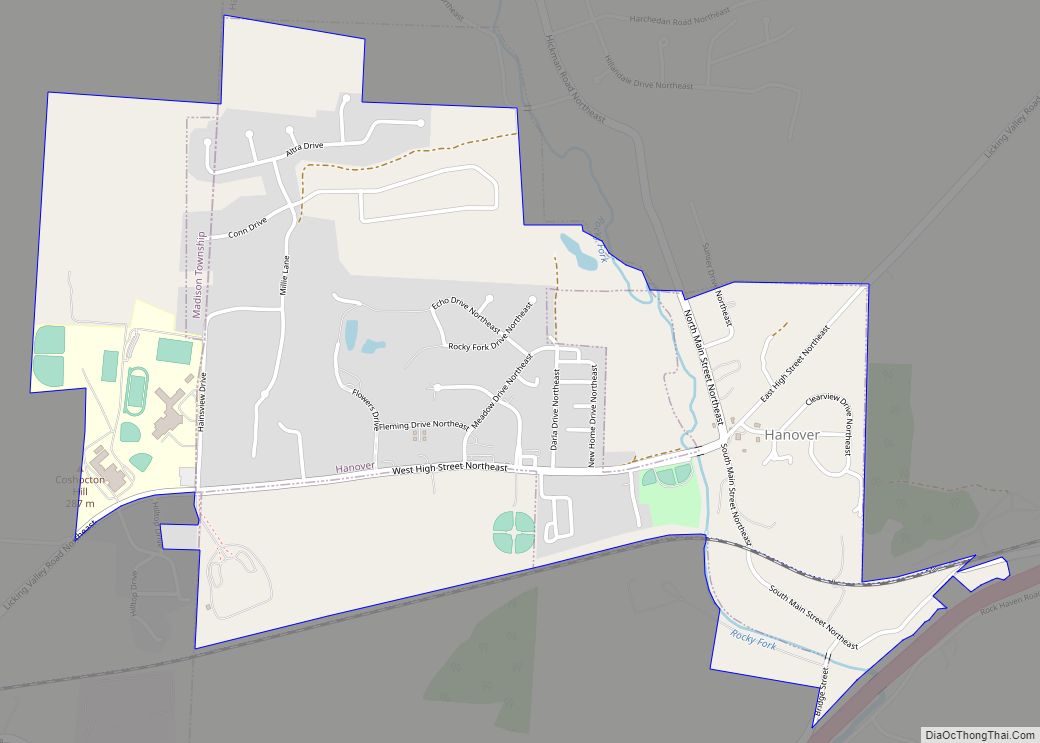
Online Interactive Map
Click on ![]() to view map in "full screen" mode.
to view map in "full screen" mode.
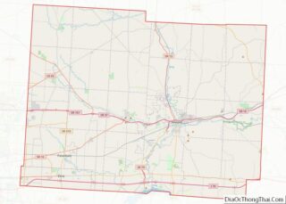
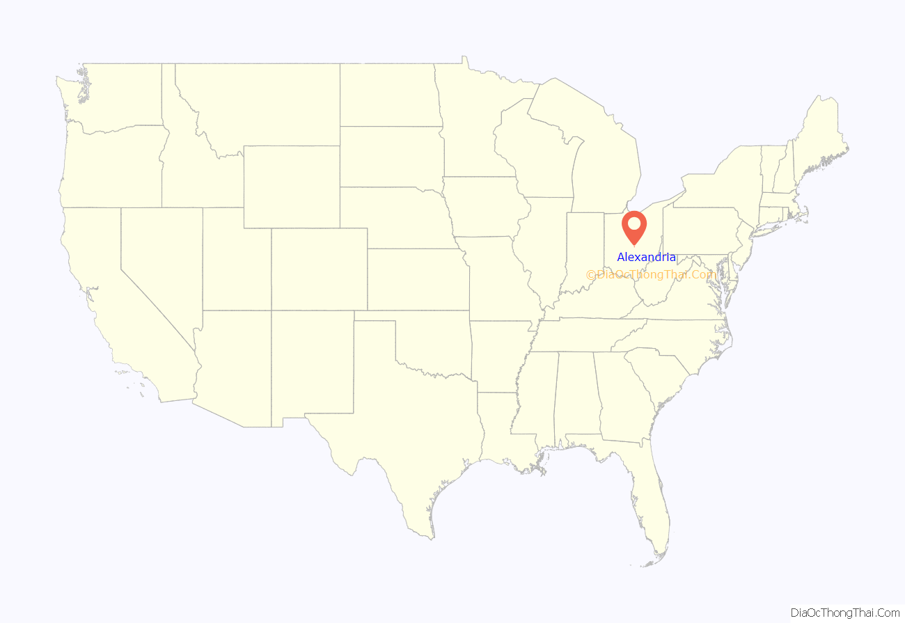
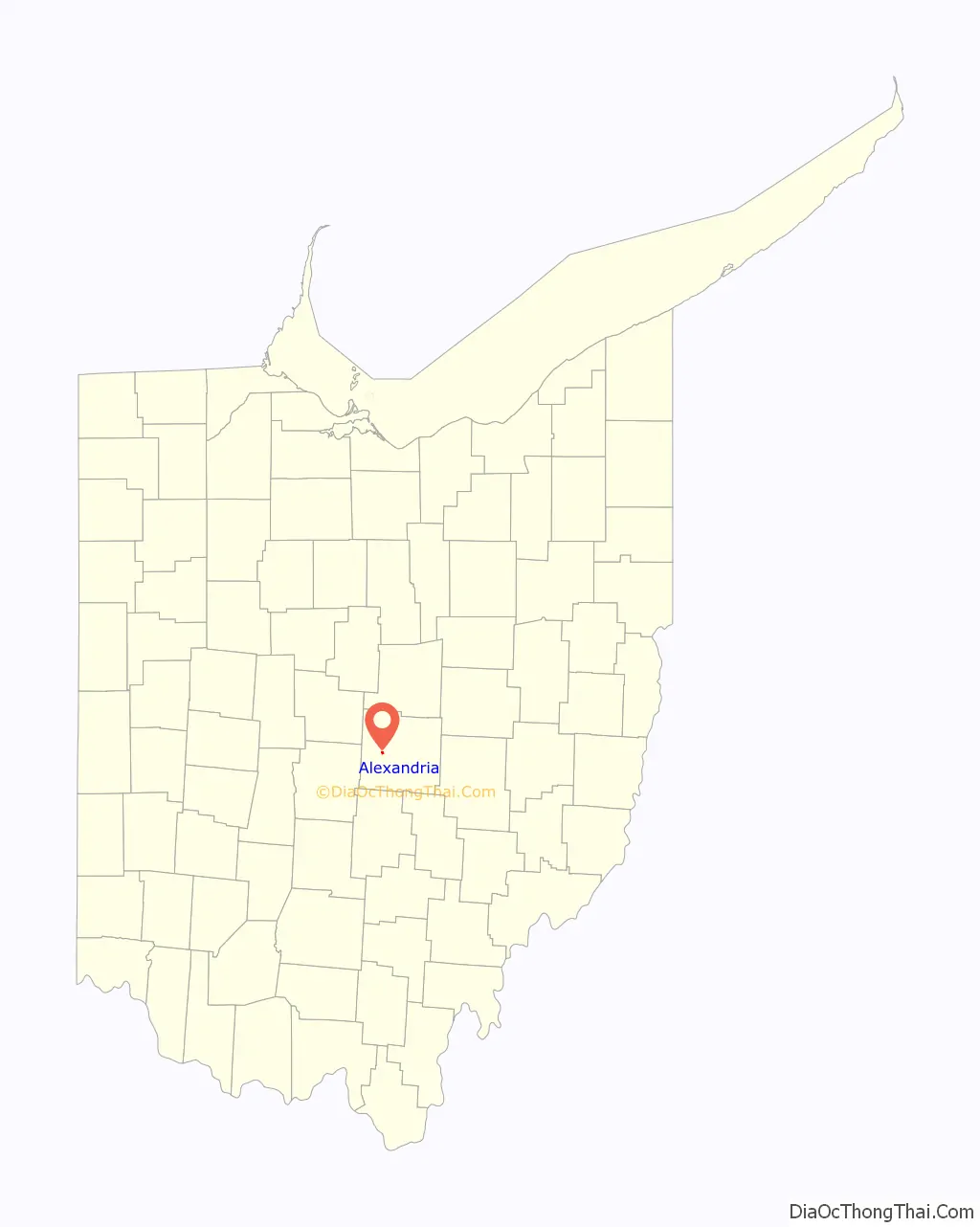
Alexandria location map. Where is Alexandria village?
History
The village has a rich history including citizens who played a crucial role in the Underground Railroad, sheltering many escaped slaves on their way to freedom.
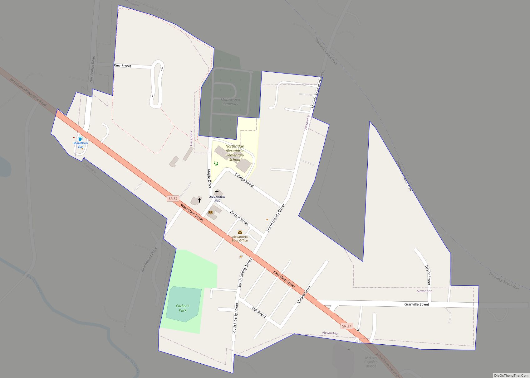
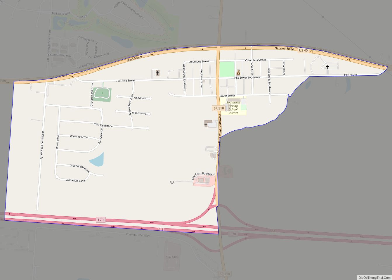
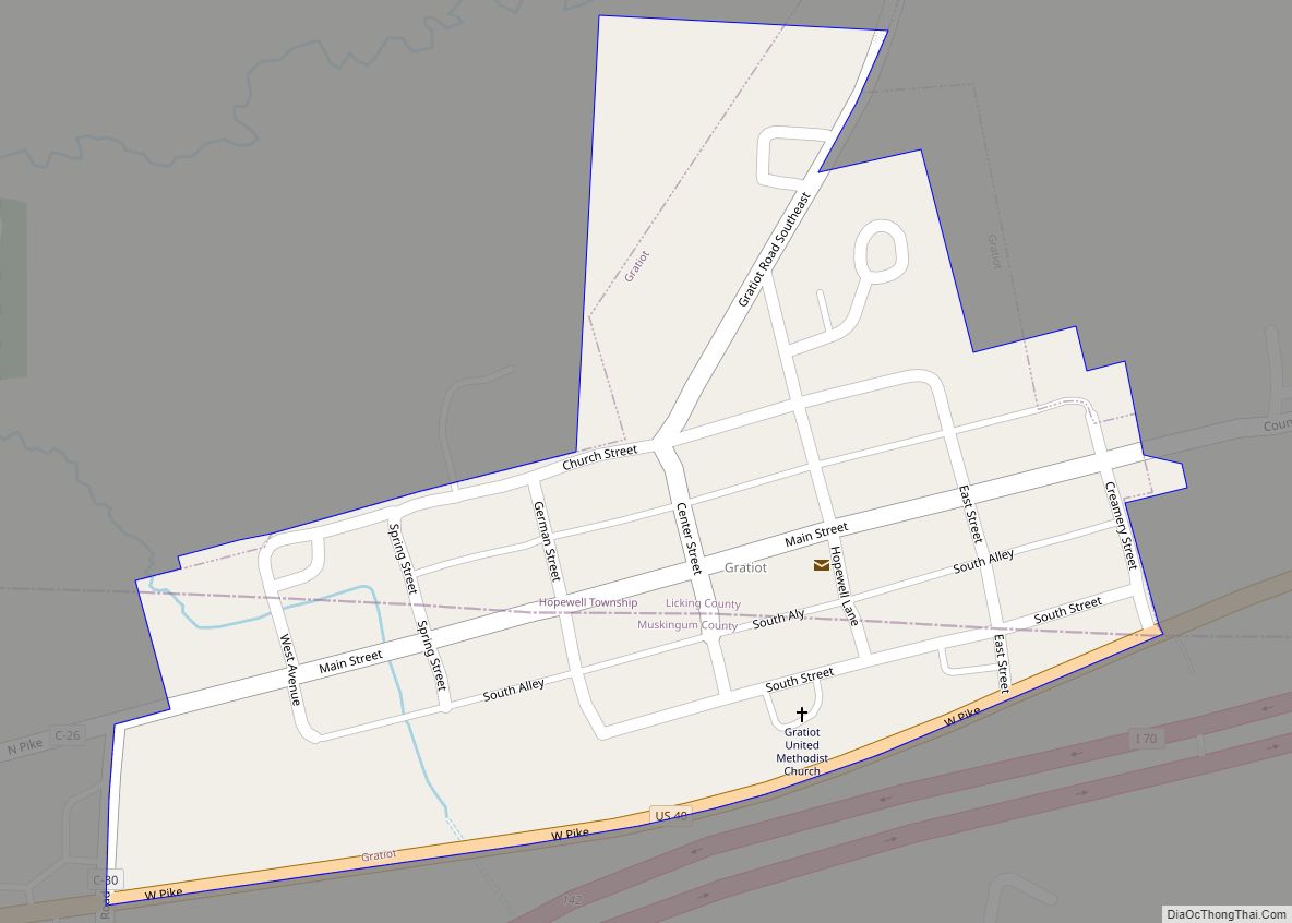
Alexandria Road Map
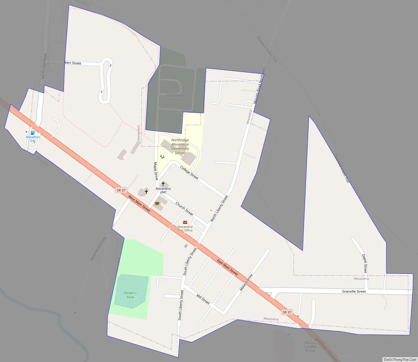
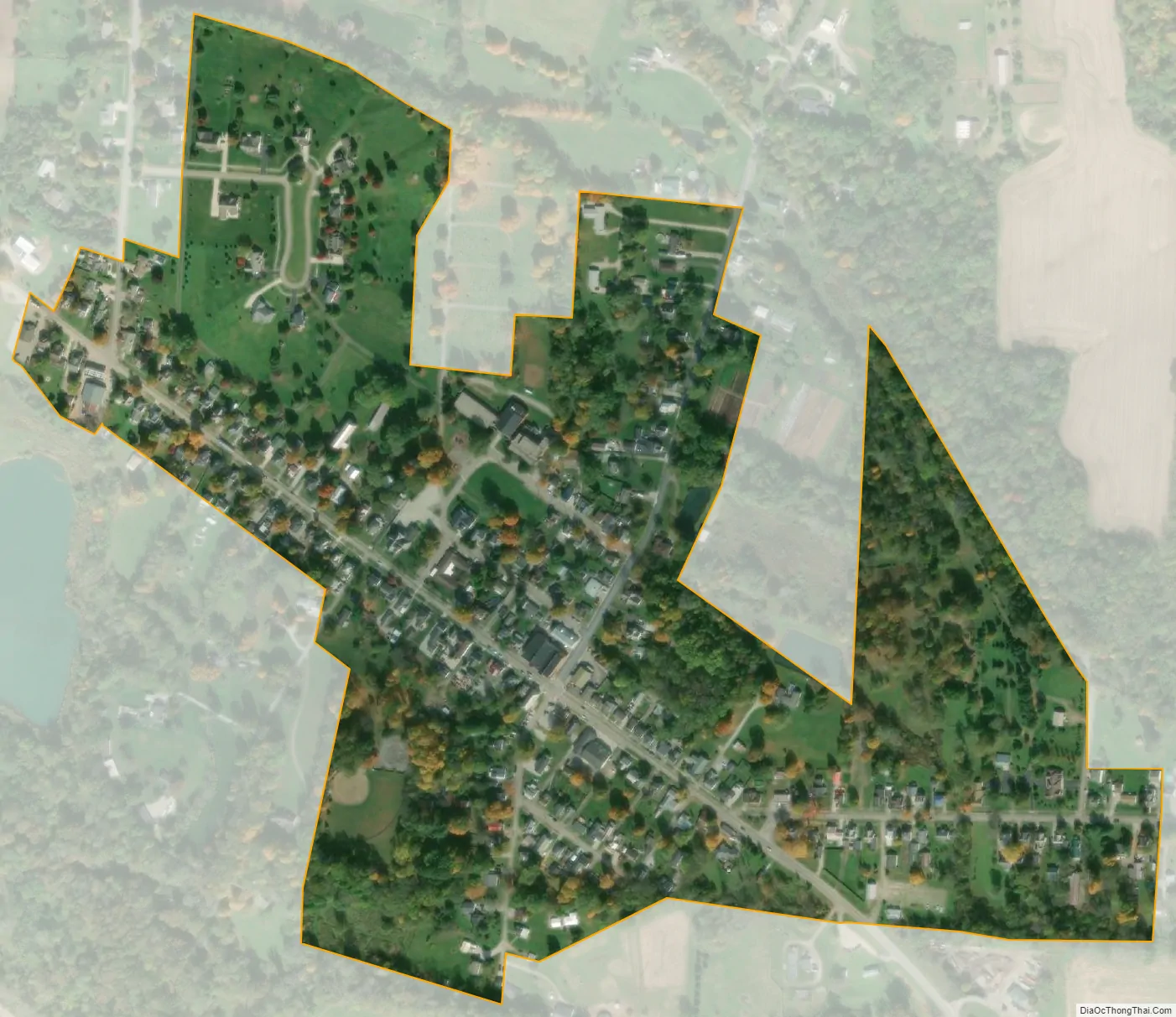
Alexandria city Satellite Map
Geography
Alexandria is located in western Licking County at 40°5′23″N 82°36′47″W / 40.08972°N 82.61306°W / 40.08972; -82.61306 (40.089812, -82.612943), along State Route 37 about 6 miles (10 km) southeast of Johnstown and 25 miles (40 km) northeast of Columbus.
According to the United States Census Bureau, the village has a total area of 0.24 square miles (0.62 km), all land.
See also
Map of Ohio State and its subdivision:- Adams
- Allen
- Ashland
- Ashtabula
- Athens
- Auglaize
- Belmont
- Brown
- Butler
- Carroll
- Champaign
- Clark
- Clermont
- Clinton
- Columbiana
- Coshocton
- Crawford
- Cuyahoga
- Darke
- Defiance
- Delaware
- Erie
- Fairfield
- Fayette
- Franklin
- Fulton
- Gallia
- Geauga
- Greene
- Guernsey
- Hamilton
- Hancock
- Hardin
- Harrison
- Henry
- Highland
- Hocking
- Holmes
- Huron
- Jackson
- Jefferson
- Knox
- Lake
- Lake Erie
- Lawrence
- Licking
- Logan
- Lorain
- Lucas
- Madison
- Mahoning
- Marion
- Medina
- Meigs
- Mercer
- Miami
- Monroe
- Montgomery
- Morgan
- Morrow
- Muskingum
- Noble
- Ottawa
- Paulding
- Perry
- Pickaway
- Pike
- Portage
- Preble
- Putnam
- Richland
- Ross
- Sandusky
- Scioto
- Seneca
- Shelby
- Stark
- Summit
- Trumbull
- Tuscarawas
- Union
- Van Wert
- Vinton
- Warren
- Washington
- Wayne
- Williams
- Wood
- Wyandot
- Alabama
- Alaska
- Arizona
- Arkansas
- California
- Colorado
- Connecticut
- Delaware
- District of Columbia
- Florida
- Georgia
- Hawaii
- Idaho
- Illinois
- Indiana
- Iowa
- Kansas
- Kentucky
- Louisiana
- Maine
- Maryland
- Massachusetts
- Michigan
- Minnesota
- Mississippi
- Missouri
- Montana
- Nebraska
- Nevada
- New Hampshire
- New Jersey
- New Mexico
- New York
- North Carolina
- North Dakota
- Ohio
- Oklahoma
- Oregon
- Pennsylvania
- Rhode Island
- South Carolina
- South Dakota
- Tennessee
- Texas
- Utah
- Vermont
- Virginia
- Washington
- West Virginia
- Wisconsin
- Wyoming