Amherst (/ˈæmhərst/) is a city in Lorain County, Ohio, United States. It is located 28 miles (45 km) west of Cleveland within the Cleveland metropolitan area. The population was 12,681 at the 2020 census.
| Name: | Amherst city |
|---|---|
| LSAD Code: | 25 |
| LSAD Description: | city (suffix) |
| State: | Ohio |
| County: | Lorain County |
| Elevation: | 689 ft (210 m) |
| Total Area: | 7.14 sq mi (18.50 km²) |
| Land Area: | 7.08 sq mi (18.35 km²) |
| Water Area: | 0.06 sq mi (0.16 km²) |
| Total Population: | 12,681 |
| Population Density: | 1,790.09/sq mi (691.15/km²) |
| ZIP code: | 44001 |
| Area code: | 440 |
| FIPS code: | 3901798 |
| GNISfeature ID: | 1064320 |
| Website: | http://www.amherstohio.org/ |
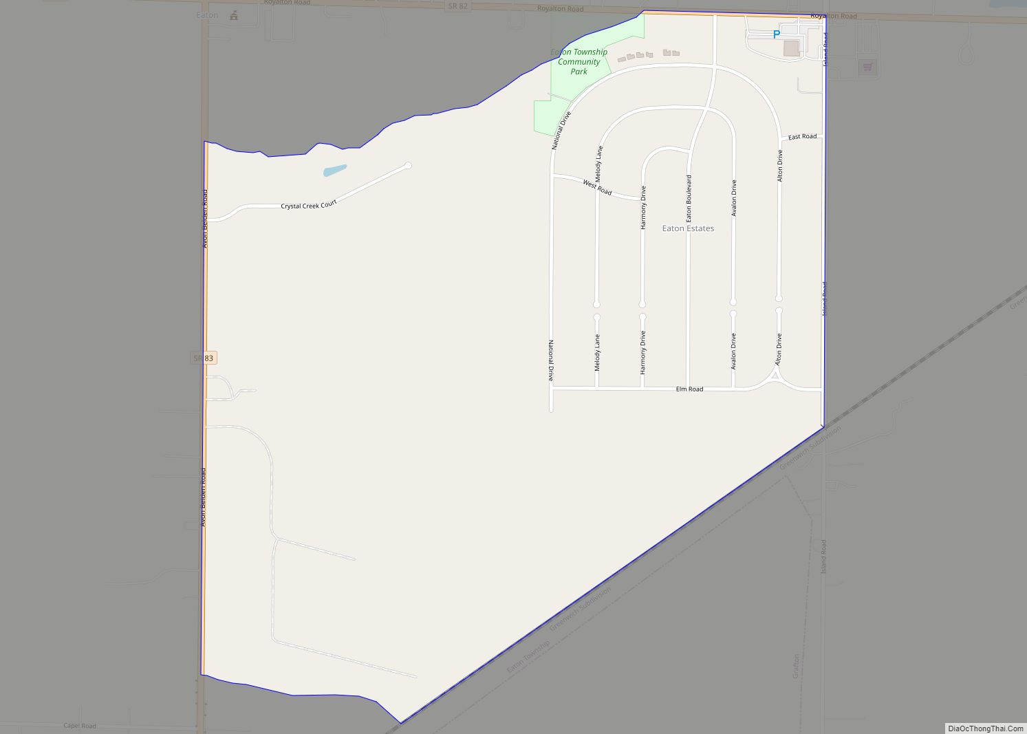
Online Interactive Map
Click on ![]() to view map in "full screen" mode.
to view map in "full screen" mode.
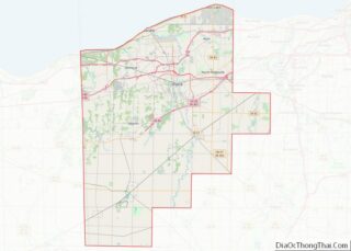
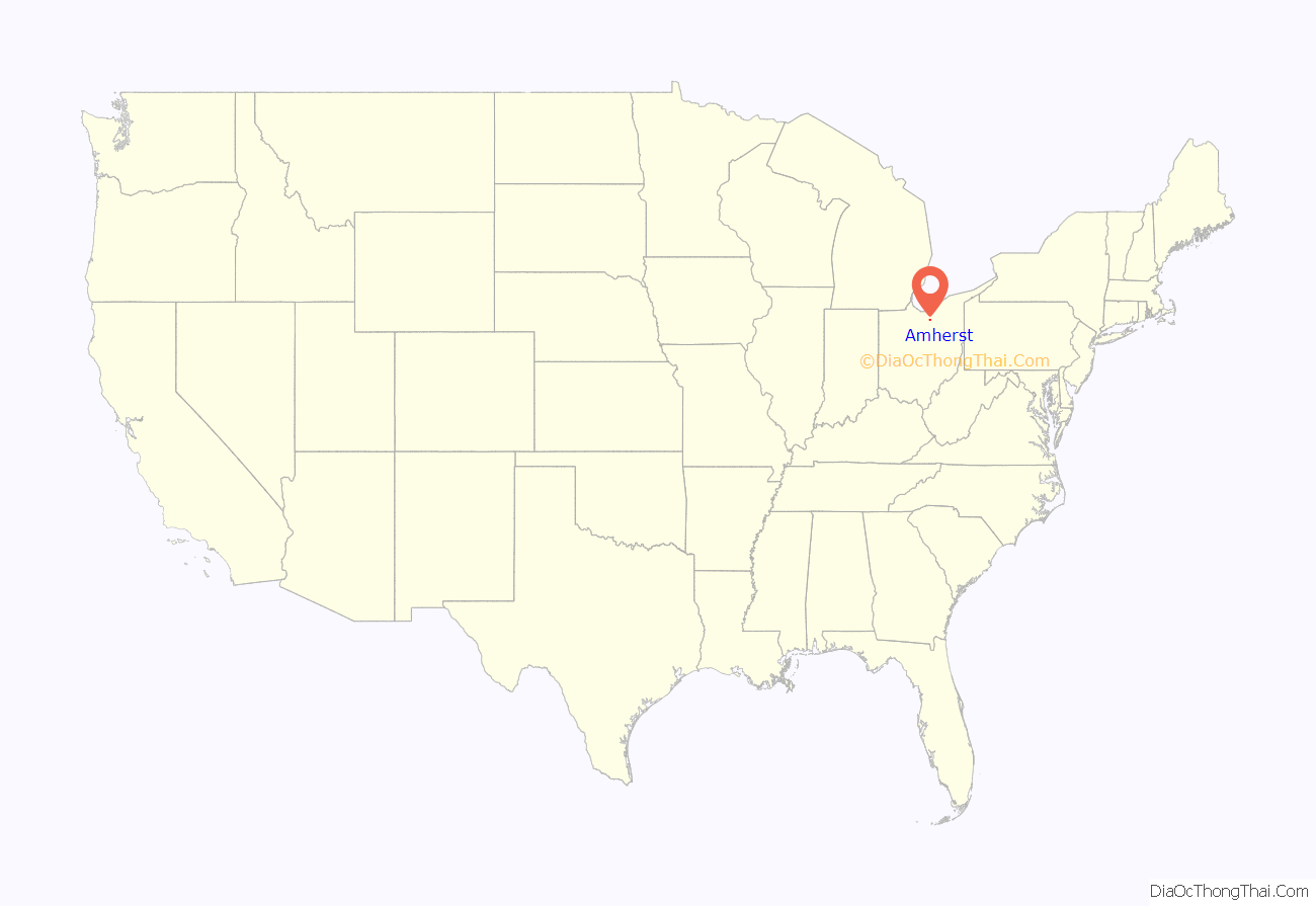
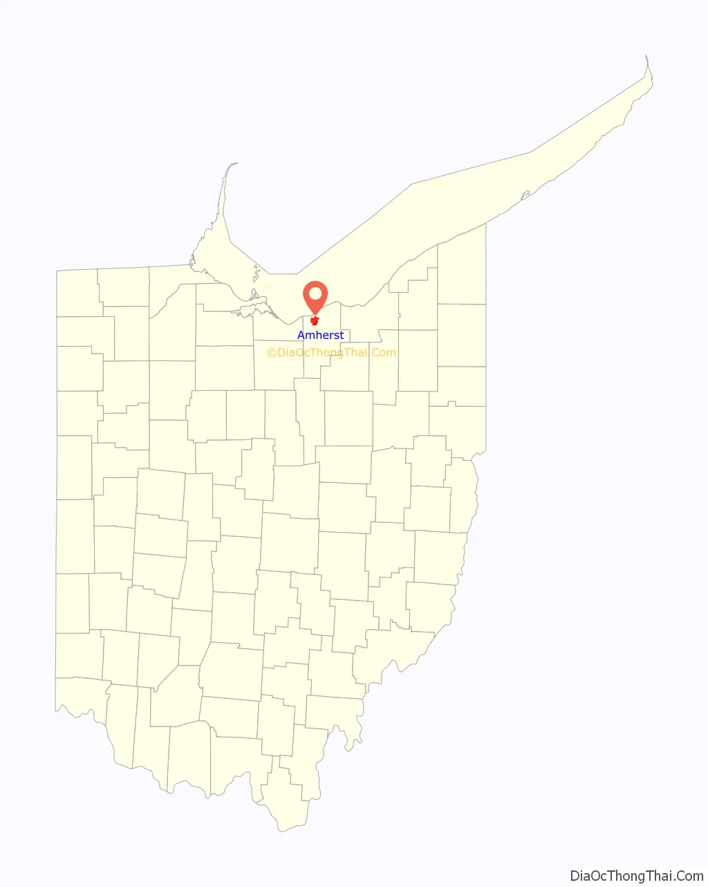
Amherst location map. Where is Amherst city?
History
The original village, which eventually became known as Amherst, was established/founded by pioneer settler Jacob Shupe (who came to this area in 1811; however, what would become the specific “downtown” area was settled by Josiah Harris in 1818), although the original tiny village was first known only as “Amherst Corners” in the early-1830s. When the village-plat was officially recorded in 1836, it was simply named the “town plat of Amherst”, but became “Amherstville” circa-1839, and was later changed to “North Amherst”, until finally again simply ‘Amherst’ in 1909. (The original 1820s postal-name of the village’s first post-office was “Plato”; and the village’s post-office retained that postal-name into the 1840s, even after the local-government name of the village officially became ‘Amherstville’ by 1840.)
The village is often said to have had its beginnings as early as 1811, because land which was settled by pioneer Jacob Shupe, in the “Beaver Creek Settlement” (about a mile north of the later village site), was eventually included into the Amherst city-limits. Shupe’s pioneering efforts within the township, which included constructing his own grist-mill/saw-mill and distillery, certainly added to the area’s desirability for later pioneers to settle here). By the latter 1800s, Amherst acquired the title Sandstone Center of the World. Many early buildings are constructed of native sandstone, and the quarries were also an important source of grindstones. There were nine sandstone quarries in the area operating at the peak of production. Cleveland Quarries Company, established in 1868, no longer quarries in Amherst but is still actively quarrying Berea Sandstone.
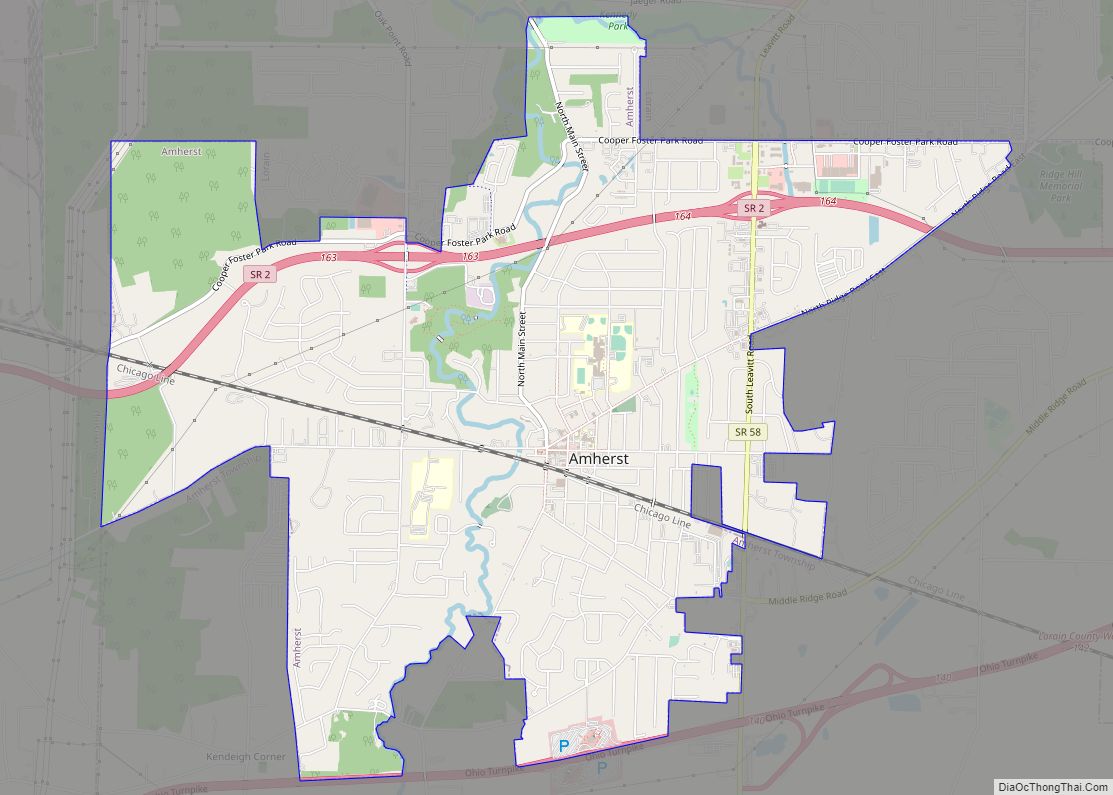
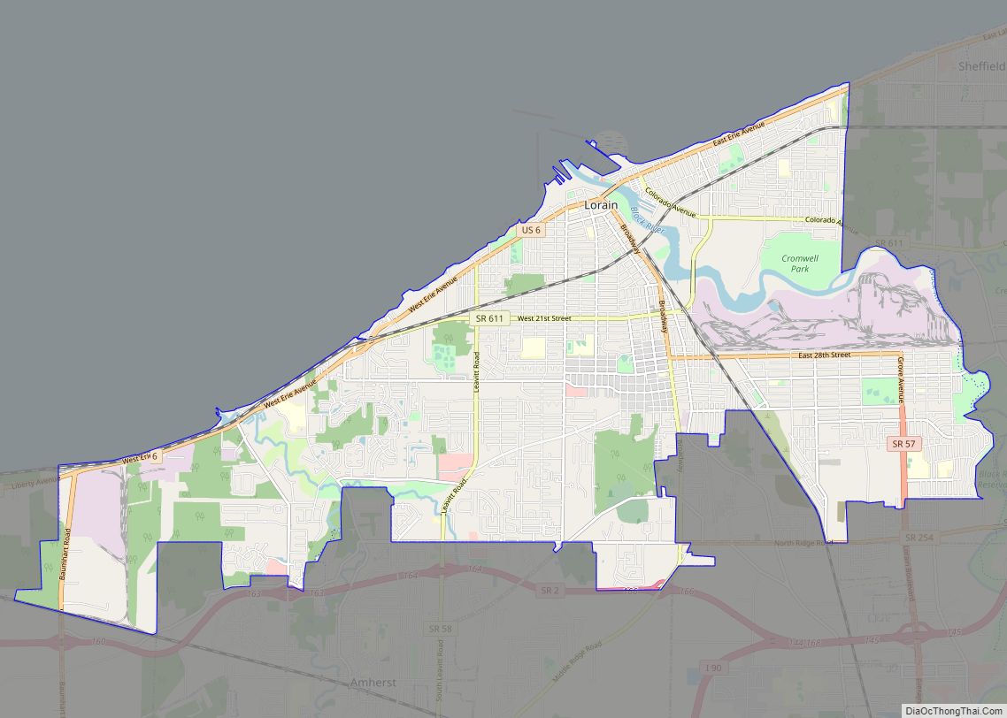
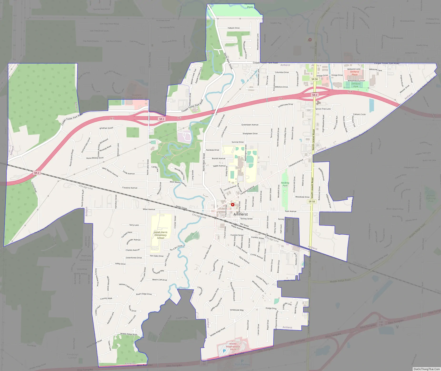
Amherst Road Map
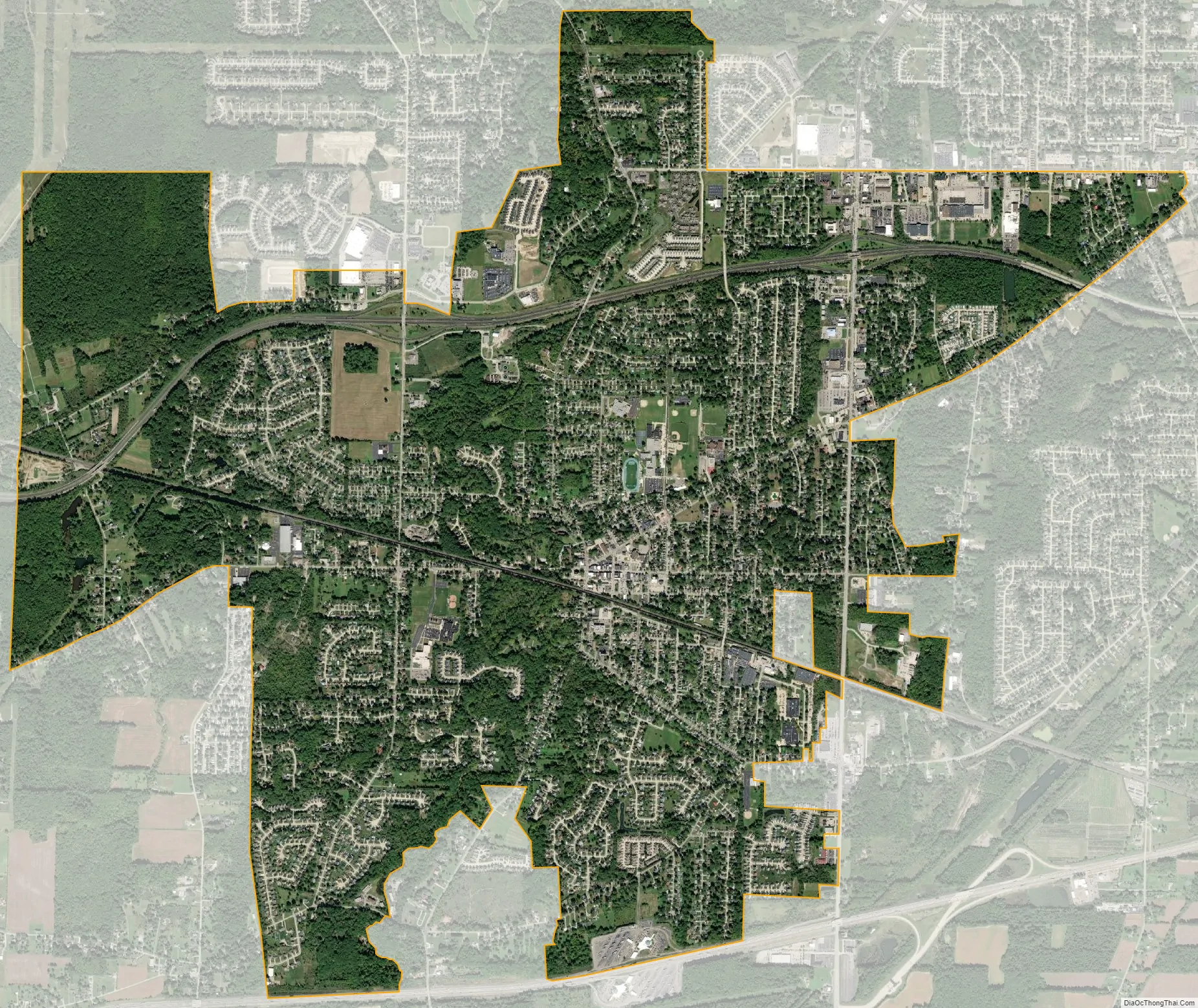
Amherst city Satellite Map
Geography
Amherst, part of the Greater Cleveland area, is located at 41°24′0″N 82°13′34″W / 41.40000°N 82.22611°W / 41.40000; -82.22611 (41.399993, -82.226201). The elevation is 689 feet (210 m) above sea level. Amherst is located 2.5 miles (4 km) south of Lake Erie. According to the 2010 census, the city has a total area of 7.12 square miles (18.4 km), of which 7.06 square miles (18.3 km) (or 99.16%) is land and 0.06 square miles (0.16 km) (or 0.84%) is water.
Climate
Amherst possesses a humid continental climate (Köppen climate classification Dfa) typical of much of the Central United States, with very warm to hot, humid summers and cold winters with moderate snow.
Amherst is located in Hardiness Zone 6a/6b. A recent trend since the Hardiness rezoning is the discovery that certain tropical plants like the Needle Palm, Chinese Windmill Palm and Fiber Banana trees can grow in Amherst with some protection.
See also
Map of Ohio State and its subdivision:- Adams
- Allen
- Ashland
- Ashtabula
- Athens
- Auglaize
- Belmont
- Brown
- Butler
- Carroll
- Champaign
- Clark
- Clermont
- Clinton
- Columbiana
- Coshocton
- Crawford
- Cuyahoga
- Darke
- Defiance
- Delaware
- Erie
- Fairfield
- Fayette
- Franklin
- Fulton
- Gallia
- Geauga
- Greene
- Guernsey
- Hamilton
- Hancock
- Hardin
- Harrison
- Henry
- Highland
- Hocking
- Holmes
- Huron
- Jackson
- Jefferson
- Knox
- Lake
- Lake Erie
- Lawrence
- Licking
- Logan
- Lorain
- Lucas
- Madison
- Mahoning
- Marion
- Medina
- Meigs
- Mercer
- Miami
- Monroe
- Montgomery
- Morgan
- Morrow
- Muskingum
- Noble
- Ottawa
- Paulding
- Perry
- Pickaway
- Pike
- Portage
- Preble
- Putnam
- Richland
- Ross
- Sandusky
- Scioto
- Seneca
- Shelby
- Stark
- Summit
- Trumbull
- Tuscarawas
- Union
- Van Wert
- Vinton
- Warren
- Washington
- Wayne
- Williams
- Wood
- Wyandot
- Alabama
- Alaska
- Arizona
- Arkansas
- California
- Colorado
- Connecticut
- Delaware
- District of Columbia
- Florida
- Georgia
- Hawaii
- Idaho
- Illinois
- Indiana
- Iowa
- Kansas
- Kentucky
- Louisiana
- Maine
- Maryland
- Massachusetts
- Michigan
- Minnesota
- Mississippi
- Missouri
- Montana
- Nebraska
- Nevada
- New Hampshire
- New Jersey
- New Mexico
- New York
- North Carolina
- North Dakota
- Ohio
- Oklahoma
- Oregon
- Pennsylvania
- Rhode Island
- South Carolina
- South Dakota
- Tennessee
- Texas
- Utah
- Vermont
- Virginia
- Washington
- West Virginia
- Wisconsin
- Wyoming