Lorain (/lɔːˈreɪn/) is a city in Lorain County, Ohio, United States. It is located in Northeast Ohio on Lake Erie at the mouth of the Black River, about 25 miles (40 km) miles west of Cleveland. As of the 2020 census, the city had a population of 65,211, making it Ohio’s ninth-largest city, the third-largest in Greater Cleveland, and the largest in Lorain County by population.
| Name: | Lorain city |
|---|---|
| LSAD Code: | 25 |
| LSAD Description: | city (suffix) |
| State: | Ohio |
| County: | Lorain County |
| Founded: | 1807 |
| Incorporated: | February, 1817 |
| Elevation: | 610 ft (186 m) |
| Land Area: | 23.61 sq mi (61.14 km²) |
| Water Area: | 0.47 sq mi (1.23 km²) |
| Population Density: | 2,762.36/sq mi (1,066.57/km²) |
| Area code: | 440 |
| FIPS code: | 3944856 |
| GNISfeature ID: | 1077529 |
| Website: | www.cityoflorain.org |
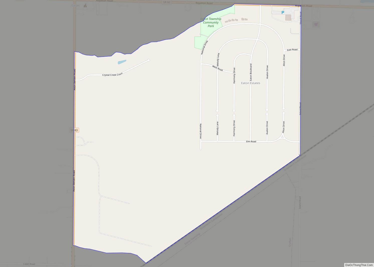
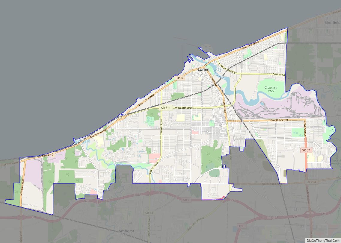
Online Interactive Map
Click on ![]() to view map in "full screen" mode.
to view map in "full screen" mode.
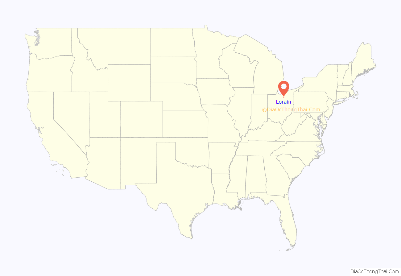
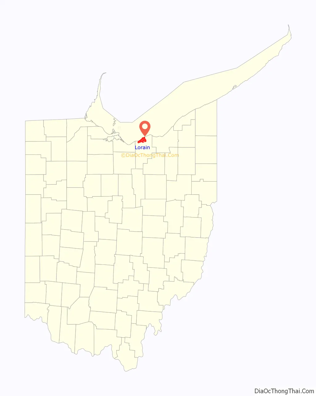
Lorain location map. Where is Lorain city?
History
According to local government records, the city began as an unincorporated village established before 1834 as “Black River Village”, and was renamed in 1837 as “Charleston.” According to 19th-century historians, the new name was rejected by its own citizens, who continued to use Black River Village. The village was incorporated as Lorain in 1874 and became a city in 1896. The first mayor was Conrad Reid, who took office on April 6, 1874. The municipal boundaries incorporated most of the former Black River Township judicial boundaries, and portions of the Sheffield Township, Amherst Township, and Brownhelm Township judicial borders.
1924 tornado
The 1924 Lorain–Sandusky tornado hit the city on Saturday, June 28, 1924. The tornado formed over the Sandusky Bay during the late afternoon hours and hit Sandusky, where it killed eight people and destroyed 100 homes and 25 businesses. After moving east over Lake Erie for several miles, the tornado then struck Lorain, killing 72. Among the dead were 15 people inside a collapsed theater, which makes it the worst tornado-related death toll from a single building in Ohio. Eight people were also killed inside the Bath House near the location where the tornado came onshore.
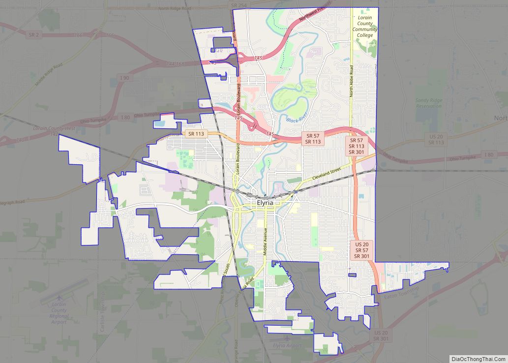
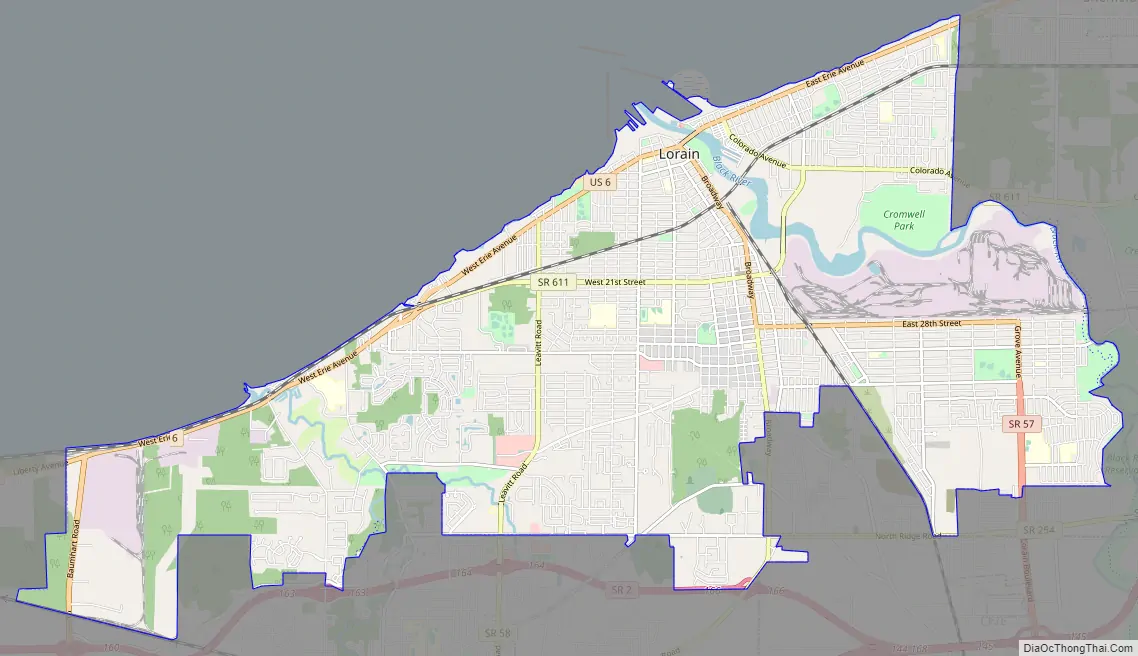
Lorain Road Map
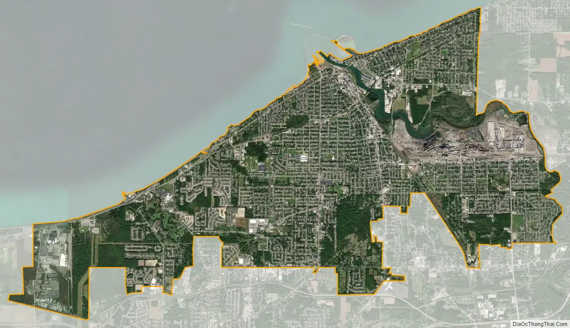
Lorain city Satellite Map
Geography
According to the United States Census Bureau, the city has a total area of 24.14 square miles (62.52 km), of which 23.67 square miles (61.31 km) is land and 0.47 square miles (1.22 km) is water.
See also
Map of Ohio State and its subdivision:- Adams
- Allen
- Ashland
- Ashtabula
- Athens
- Auglaize
- Belmont
- Brown
- Butler
- Carroll
- Champaign
- Clark
- Clermont
- Clinton
- Columbiana
- Coshocton
- Crawford
- Cuyahoga
- Darke
- Defiance
- Delaware
- Erie
- Fairfield
- Fayette
- Franklin
- Fulton
- Gallia
- Geauga
- Greene
- Guernsey
- Hamilton
- Hancock
- Hardin
- Harrison
- Henry
- Highland
- Hocking
- Holmes
- Huron
- Jackson
- Jefferson
- Knox
- Lake
- Lake Erie
- Lawrence
- Licking
- Logan
- Lorain
- Lucas
- Madison
- Mahoning
- Marion
- Medina
- Meigs
- Mercer
- Miami
- Monroe
- Montgomery
- Morgan
- Morrow
- Muskingum
- Noble
- Ottawa
- Paulding
- Perry
- Pickaway
- Pike
- Portage
- Preble
- Putnam
- Richland
- Ross
- Sandusky
- Scioto
- Seneca
- Shelby
- Stark
- Summit
- Trumbull
- Tuscarawas
- Union
- Van Wert
- Vinton
- Warren
- Washington
- Wayne
- Williams
- Wood
- Wyandot
- Alabama
- Alaska
- Arizona
- Arkansas
- California
- Colorado
- Connecticut
- Delaware
- District of Columbia
- Florida
- Georgia
- Hawaii
- Idaho
- Illinois
- Indiana
- Iowa
- Kansas
- Kentucky
- Louisiana
- Maine
- Maryland
- Massachusetts
- Michigan
- Minnesota
- Mississippi
- Missouri
- Montana
- Nebraska
- Nevada
- New Hampshire
- New Jersey
- New Mexico
- New York
- North Carolina
- North Dakota
- Ohio
- Oklahoma
- Oregon
- Pennsylvania
- Rhode Island
- South Carolina
- South Dakota
- Tennessee
- Texas
- Utah
- Vermont
- Virginia
- Washington
- West Virginia
- Wisconsin
- Wyoming