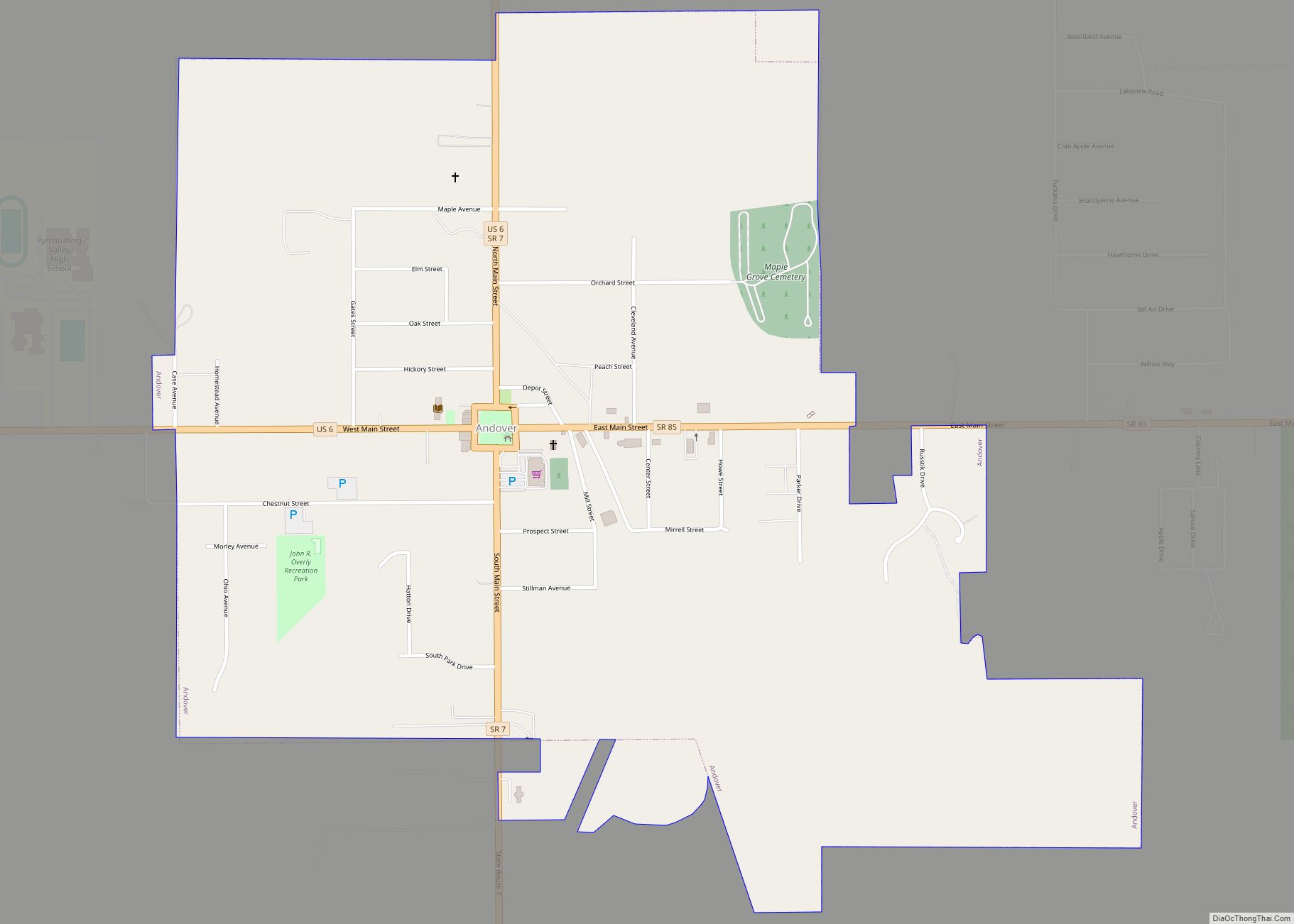
Andover is a village located in the south-east of Ashtabula County, Ohio, United States. The population was 972 at the time of the 2020 census.
The closest village to the Ohio side of Pymatuning State Park, the settlement supports a regional tourism industry. Andover was incorporated in 1883.
| Name: | Andover village |
|---|---|
| LSAD Code: | 47 |
| LSAD Description: | village (suffix) |
| State: | Ohio |
| County: | Ashtabula County |
| Elevation: | 1,093 ft (333 m) |
| Total Area: | 1.41 sq mi (3.65 km²) |
| Land Area: | 1.41 sq mi (3.65 km²) |
| Water Area: | 0.00 sq mi (0.00 km²) |
| Total Population: | 972 |
| Population Density: | 690.34/sq mi (266.49/km²) |
| ZIP code: | 44003 |
| Area code: | 440 |
| FIPS code: | 3902050 |
| GNISfeature ID: | 1064328 |
| Website: | http://www.andovervillage.com/ |
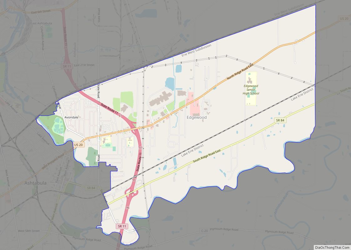
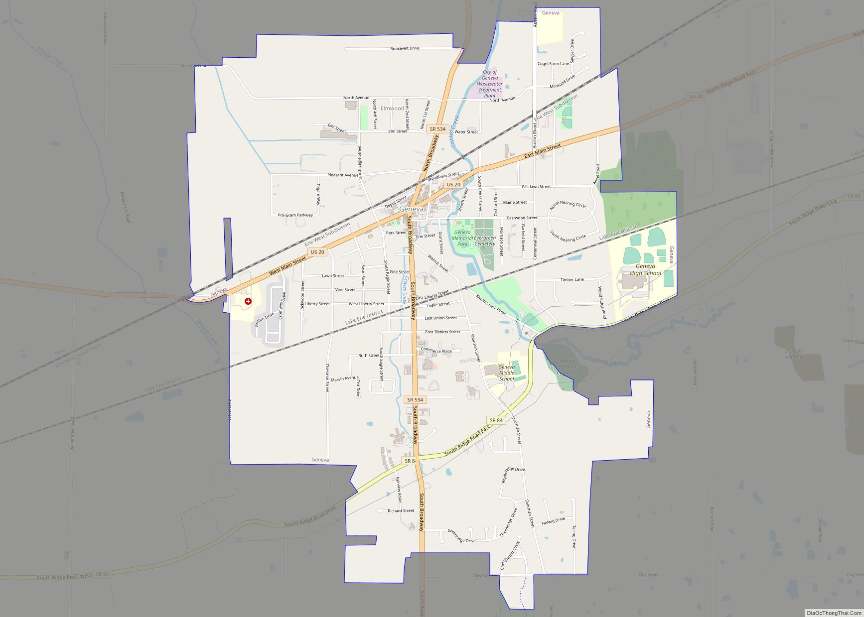
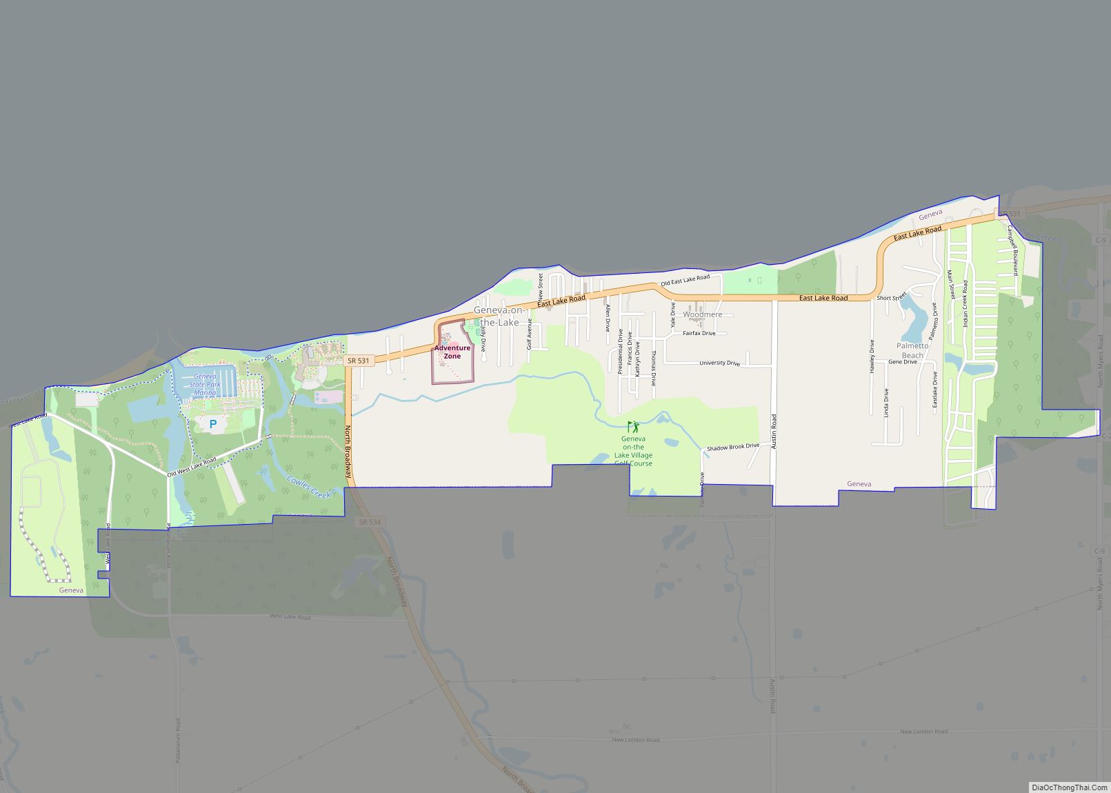
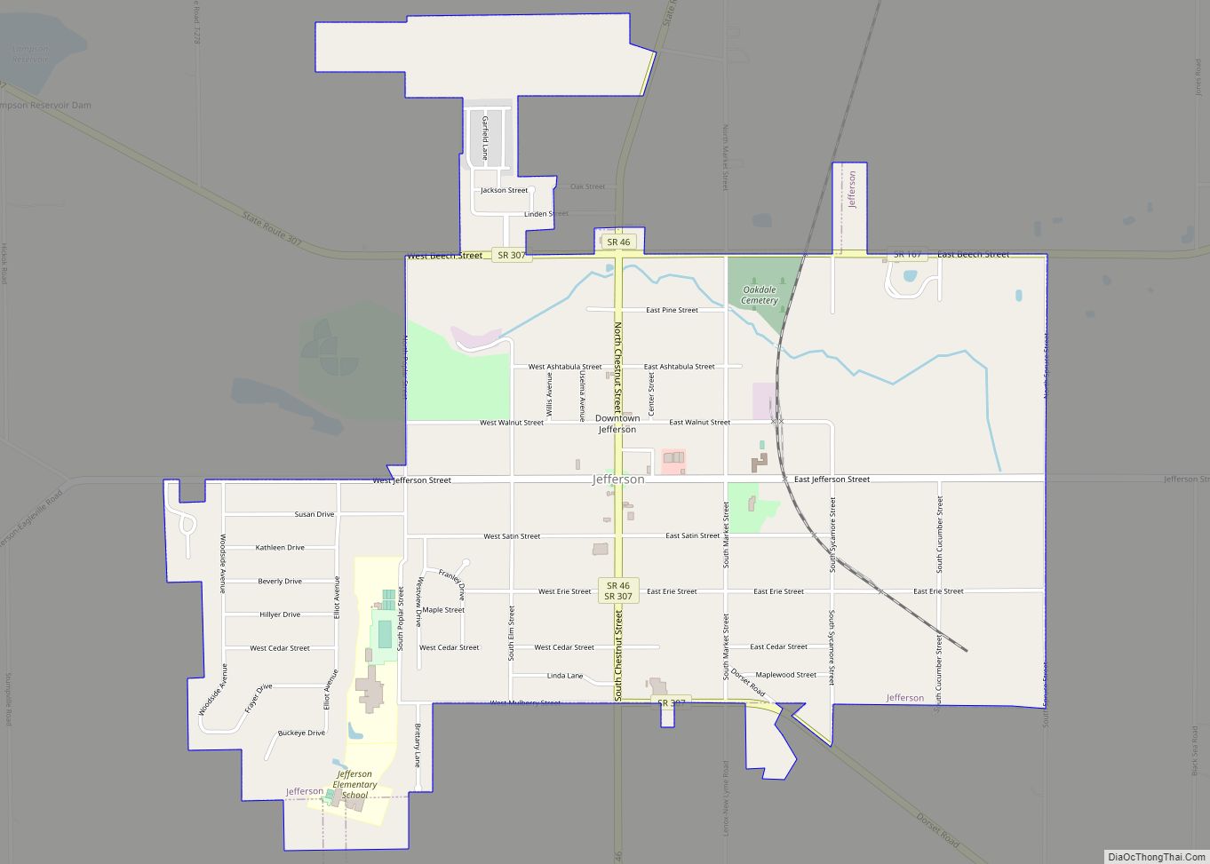
Online Interactive Map
Click on ![]() to view map in "full screen" mode.
to view map in "full screen" mode.
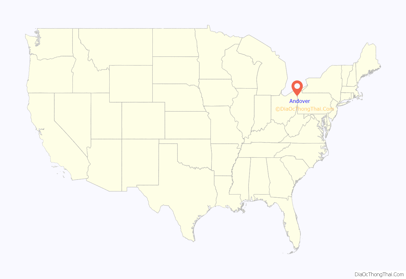
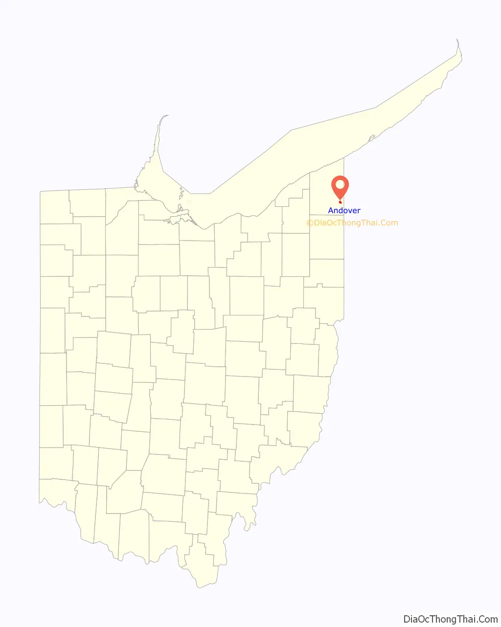
Andover location map. Where is Andover village?
History
David Lindsey, writing in 1955, observes that “New England Yankees, moving into Ohio’s Western Reserve in 1798, brought with them the name Andover from a township in Tolland County, Connecticut, birthplace of many of the migrants. General Henry Champion, second largest shareholder in the Connecticut Land Company, first acquired Andover Township in the drawing for lands held at Hartford in 1798.”
A post office with the name Sharon was established August 2, 1815; the name was changed to Andover with effect from March 21, 1826.
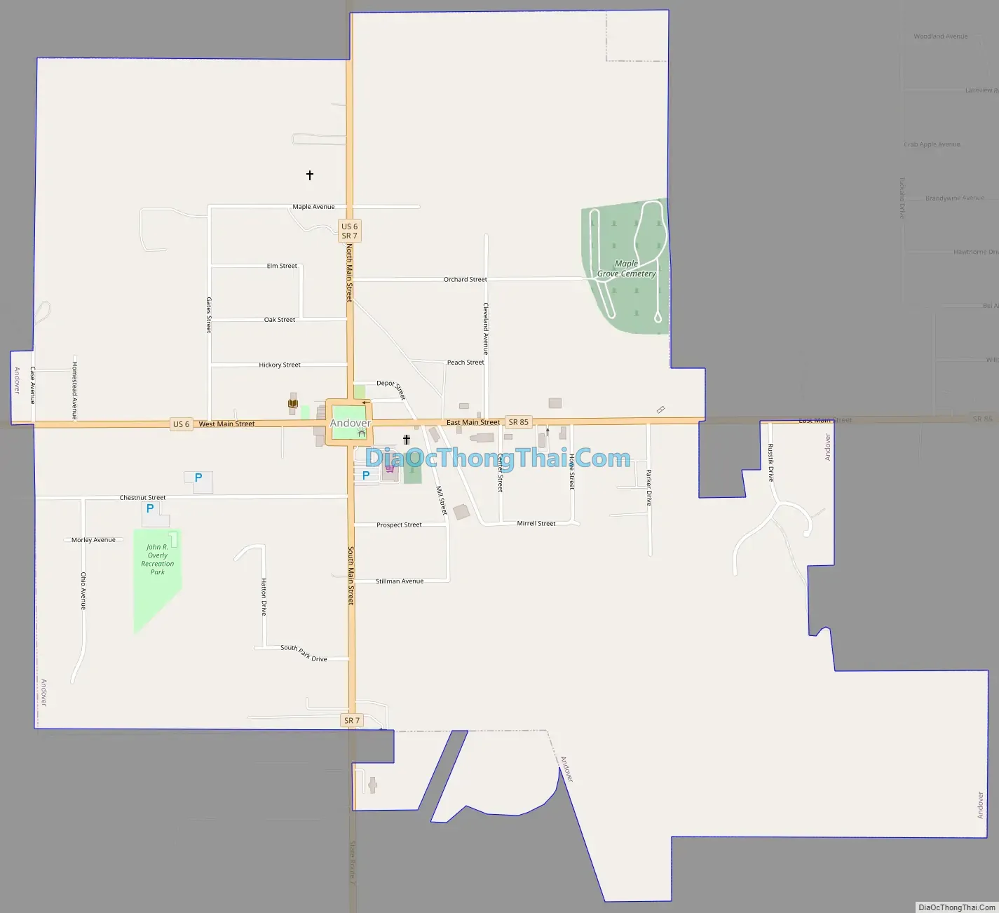
Andover Road Map
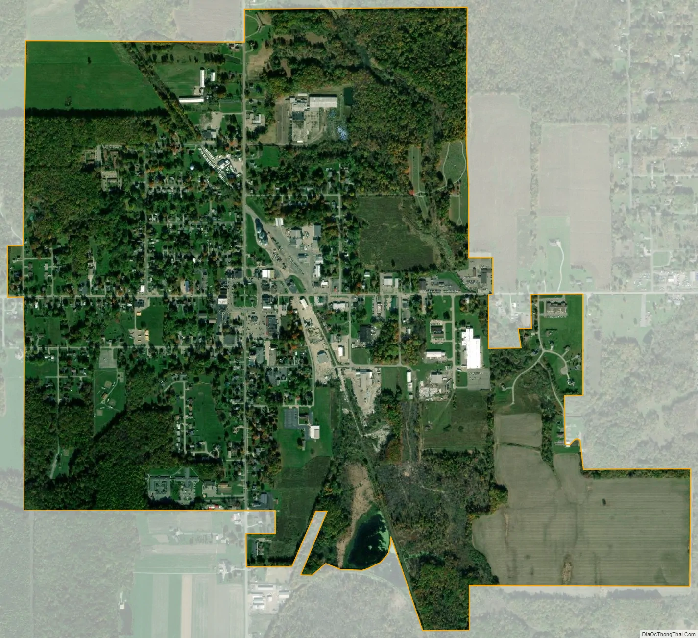
Andover city Satellite Map
Geography
Andover is located at 41°36′28″N 80°34′15″W / 41.60778°N 80.57083°W / 41.60778; -80.57083 (41.607744, -80.570729)., only 2.7 miles west of the border to Pennsylvania.
According to the United States Census Bureau, the village has a total area of 1.37 square miles (3.55 km), all land.
See also
Map of Ohio State and its subdivision:- Adams
- Allen
- Ashland
- Ashtabula
- Athens
- Auglaize
- Belmont
- Brown
- Butler
- Carroll
- Champaign
- Clark
- Clermont
- Clinton
- Columbiana
- Coshocton
- Crawford
- Cuyahoga
- Darke
- Defiance
- Delaware
- Erie
- Fairfield
- Fayette
- Franklin
- Fulton
- Gallia
- Geauga
- Greene
- Guernsey
- Hamilton
- Hancock
- Hardin
- Harrison
- Henry
- Highland
- Hocking
- Holmes
- Huron
- Jackson
- Jefferson
- Knox
- Lake
- Lake Erie
- Lawrence
- Licking
- Logan
- Lorain
- Lucas
- Madison
- Mahoning
- Marion
- Medina
- Meigs
- Mercer
- Miami
- Monroe
- Montgomery
- Morgan
- Morrow
- Muskingum
- Noble
- Ottawa
- Paulding
- Perry
- Pickaway
- Pike
- Portage
- Preble
- Putnam
- Richland
- Ross
- Sandusky
- Scioto
- Seneca
- Shelby
- Stark
- Summit
- Trumbull
- Tuscarawas
- Union
- Van Wert
- Vinton
- Warren
- Washington
- Wayne
- Williams
- Wood
- Wyandot
- Alabama
- Alaska
- Arizona
- Arkansas
- California
- Colorado
- Connecticut
- Delaware
- District of Columbia
- Florida
- Georgia
- Hawaii
- Idaho
- Illinois
- Indiana
- Iowa
- Kansas
- Kentucky
- Louisiana
- Maine
- Maryland
- Massachusetts
- Michigan
- Minnesota
- Mississippi
- Missouri
- Montana
- Nebraska
- Nevada
- New Hampshire
- New Jersey
- New Mexico
- New York
- North Carolina
- North Dakota
- Ohio
- Oklahoma
- Oregon
- Pennsylvania
- Rhode Island
- South Carolina
- South Dakota
- Tennessee
- Texas
- Utah
- Vermont
- Virginia
- Washington
- West Virginia
- Wisconsin
- Wyoming