Avon (/ˈeɪvɒn/ AY-von) is a city in northeastern Lorain County, Ohio, United States. The population was 24,847 at the 2020 census. It is part of the Cleveland metropolitan area.
| Name: | Avon city |
|---|---|
| LSAD Code: | 25 |
| LSAD Description: | city (suffix) |
| State: | Ohio |
| County: | Lorain County |
| Elevation: | 670 ft (203 m) |
| Total Area: | 20.85 sq mi (53.99 km²) |
| Land Area: | 20.79 sq mi (53.84 km²) |
| Water Area: | 0.06 sq mi (0.15 km²) |
| Total Population: | 24,847 |
| Population Density: | 1,195.26/sq mi (461.50/km²) |
| ZIP code: | 44011 |
| Area code: | 440 |
| FIPS code: | 3903352 |
| GNISfeature ID: | 1064365 |
| Website: | www.cityofavon.com |
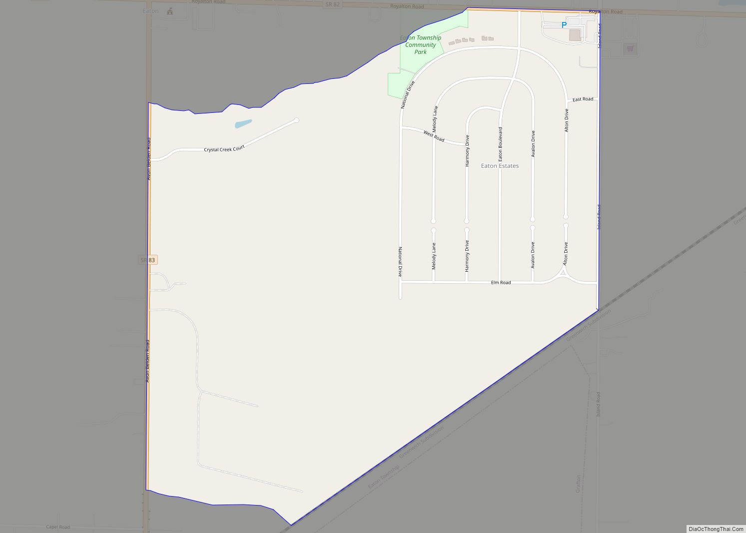
Online Interactive Map
Click on ![]() to view map in "full screen" mode.
to view map in "full screen" mode.
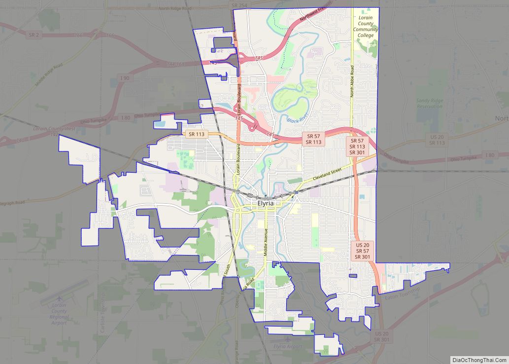
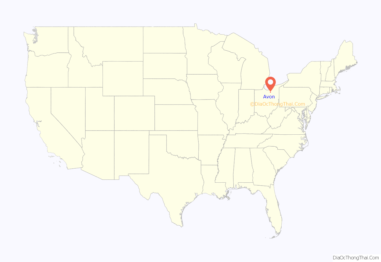
Avon location map. Where is Avon city?
History
In the 17th century, what is now Avon, Avon Lake, Bay Village, and Westlake were all once one territory. This territory was inhabited by various Native American tribes, such as the Wyandots, Ottawas, and Eries, who lived in wigwams or simple-stone dwellings. They settled, traded, fought, and later forcibly moved elsewhere.
Township Number 7 in Range 16 of the Western Reserve received its first permanent American settlers during 1814 from Montgomery County, New York, led by Wilbur Cahoon. The township was administered by Dover township and was part of Cuyahoga County. In 1818, Township Number 7 was organized and named “Xeuma”, then later renamed “Troy Township”. In 1824, Lorain County was created, and the name of Troy Township was changed to Avon Township. An Avon post office was established in 1825. The entire township was incorporated into a village in 1917, and became the City of Avon in 1961.
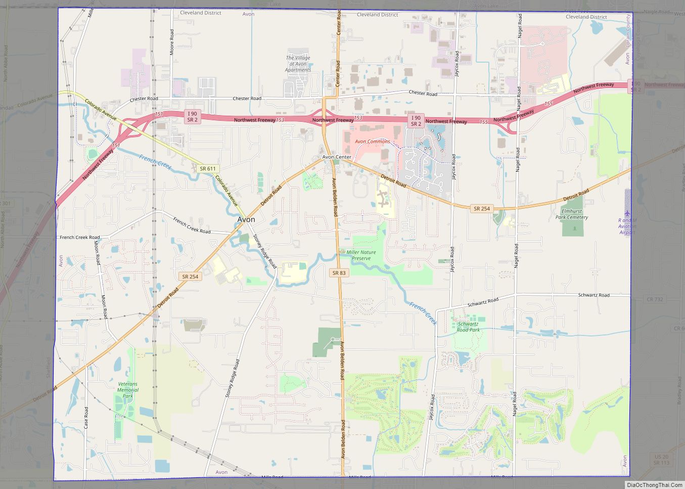
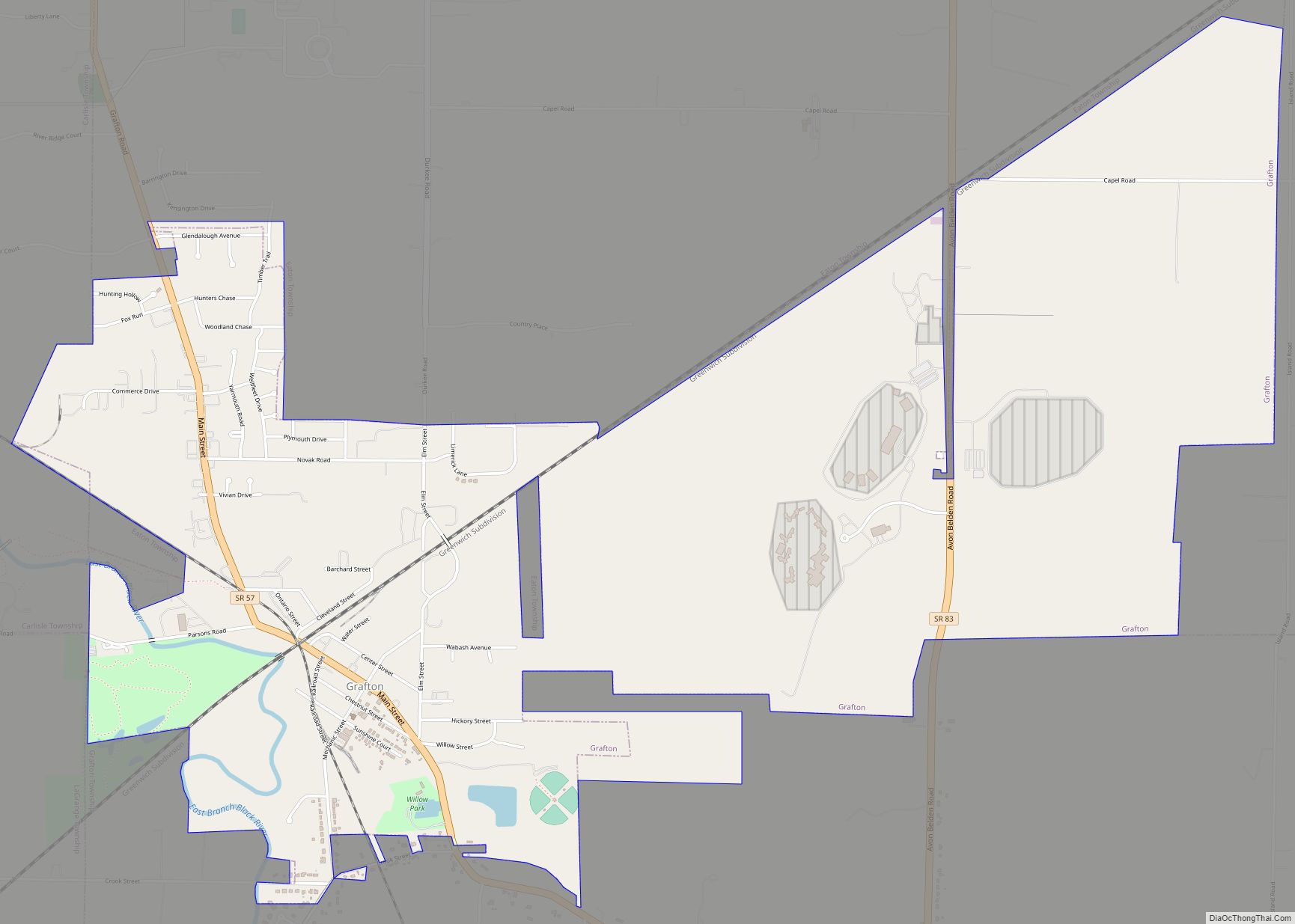
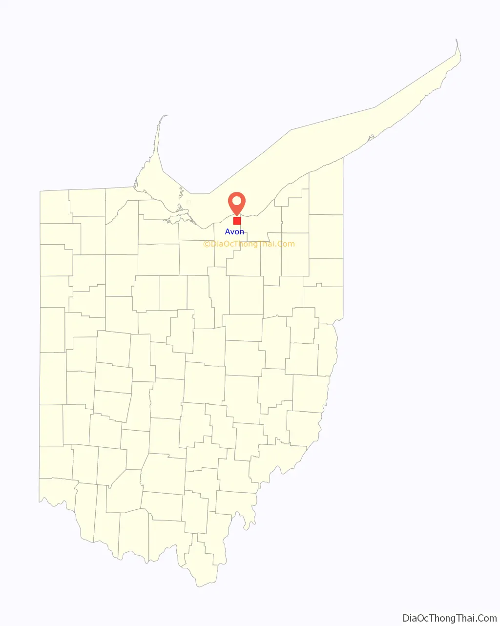
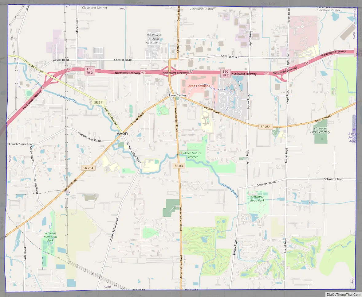
Avon Road Map
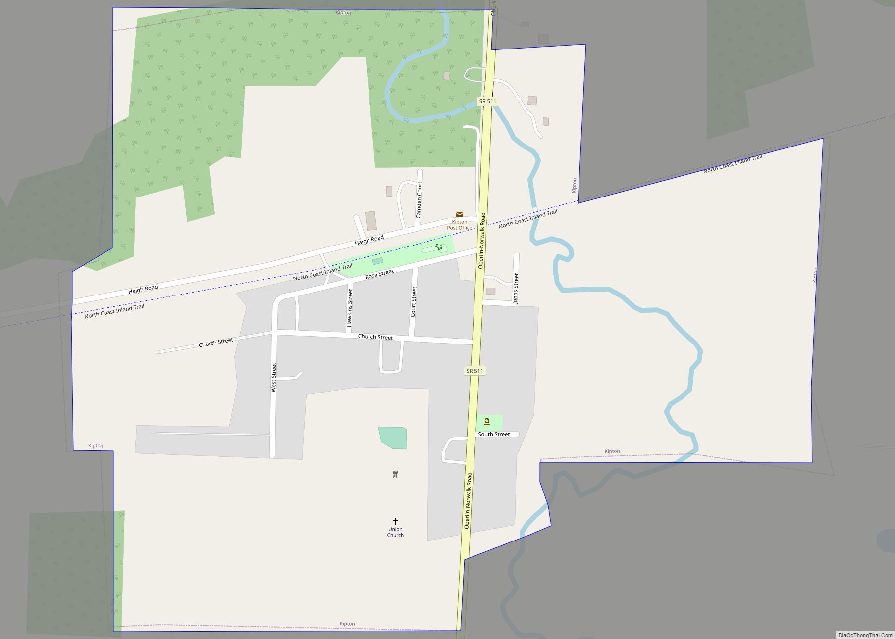
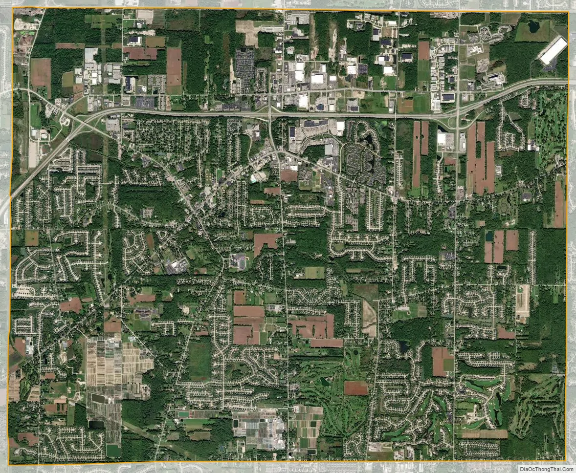
Avon city Satellite Map
Geography
According to the United States Census Bureau, the city has a total area of 20.87 square miles (54.05 km), of which 20.81 square miles (53.90 km) is land and 0.06 square miles (0.16 km) is covered by water.
See also
Map of Ohio State and its subdivision:- Adams
- Allen
- Ashland
- Ashtabula
- Athens
- Auglaize
- Belmont
- Brown
- Butler
- Carroll
- Champaign
- Clark
- Clermont
- Clinton
- Columbiana
- Coshocton
- Crawford
- Cuyahoga
- Darke
- Defiance
- Delaware
- Erie
- Fairfield
- Fayette
- Franklin
- Fulton
- Gallia
- Geauga
- Greene
- Guernsey
- Hamilton
- Hancock
- Hardin
- Harrison
- Henry
- Highland
- Hocking
- Holmes
- Huron
- Jackson
- Jefferson
- Knox
- Lake
- Lake Erie
- Lawrence
- Licking
- Logan
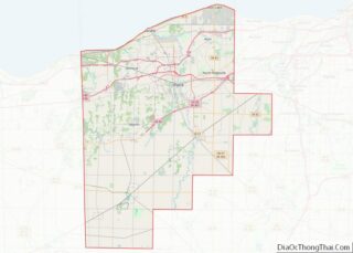
- Lorain
- Lucas
- Madison
- Mahoning
- Marion
- Medina
- Meigs
- Mercer
- Miami
- Monroe
- Montgomery
- Morgan
- Morrow
- Muskingum
- Noble
- Ottawa
- Paulding
- Perry
- Pickaway
- Pike
- Portage
- Preble
- Putnam
- Richland
- Ross
- Sandusky
- Scioto
- Seneca
- Shelby
- Stark
- Summit
- Trumbull
- Tuscarawas
- Union
- Van Wert
- Vinton
- Warren
- Washington
- Wayne
- Williams
- Wood
- Wyandot
- Alabama
- Alaska
- Arizona
- Arkansas
- California
- Colorado
- Connecticut
- Delaware
- District of Columbia
- Florida
- Georgia
- Hawaii
- Idaho
- Illinois
- Indiana
- Iowa
- Kansas
- Kentucky
- Louisiana
- Maine
- Maryland
- Massachusetts
- Michigan
- Minnesota
- Mississippi
- Missouri
- Montana
- Nebraska
- Nevada
- New Hampshire
- New Jersey
- New Mexico
- New York
- North Carolina
- North Dakota
- Ohio
- Oklahoma
- Oregon
- Pennsylvania
- Rhode Island
- South Carolina
- South Dakota
- Tennessee
- Texas
- Utah
- Vermont
- Virginia
- Washington
- West Virginia
- Wisconsin
- Wyoming