Baltimore is a village in Fairfield County, Ohio, United States. The population was 2,966 at the 2010 census.
| Name: | Baltimore village |
|---|---|
| LSAD Code: | 47 |
| LSAD Description: | village (suffix) |
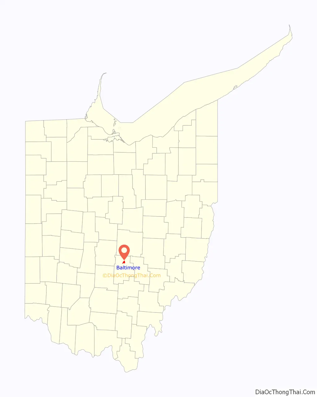
| State: | Ohio |
| County: | Fairfield County |
| Elevation: | 863 ft (263 m) |
| Total Area: | 2.23 sq mi (5.77 km²) |
| Land Area: | 2.23 sq mi (5.77 km²) |
| Water Area: | 0.00 sq mi (0.00 km²) |
| Total Population: | 2,981 |
| Population Density: | 1,337.97/sq mi (516.51/km²) |
| ZIP code: | 43105 |
| Area code: | 740 |
| FIPS code: | 3903758 |
| GNISfeature ID: | 1064378 |
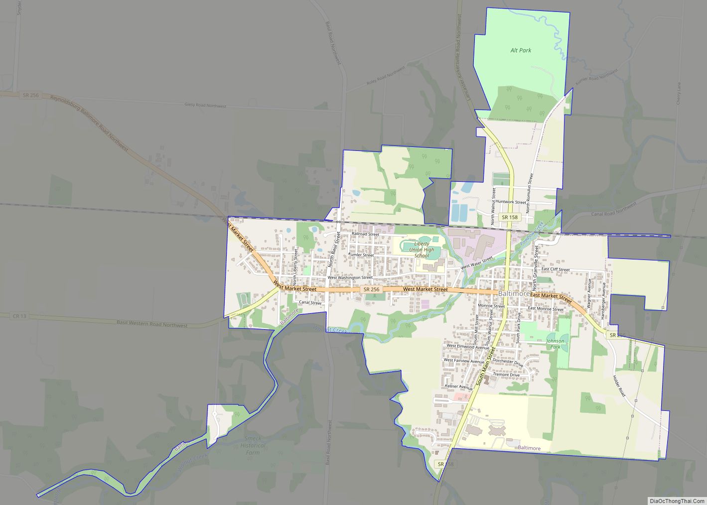
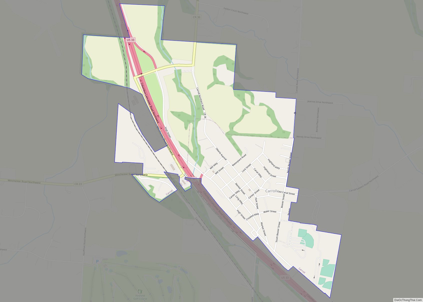
Online Interactive Map
Click on ![]() to view map in "full screen" mode.
to view map in "full screen" mode.
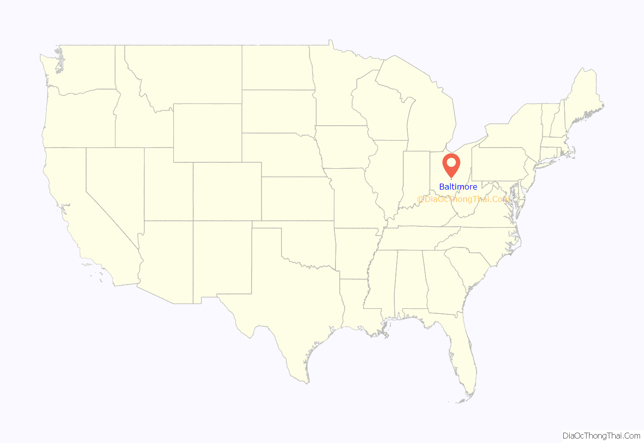
Baltimore location map. Where is Baltimore village?
History
Baltimore was originally called New Market, and under the latter name was laid out in 1824. A post office called Baltimore has been in operation since 1829.
Baltimore became a qualified Tree City USA as recognized by the National Arbor Day Foundation in 2011.
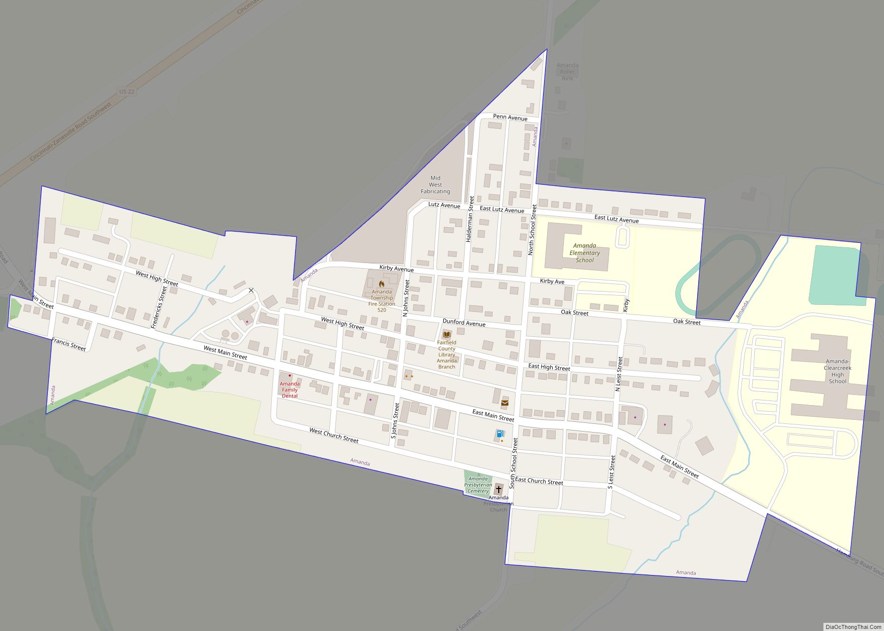
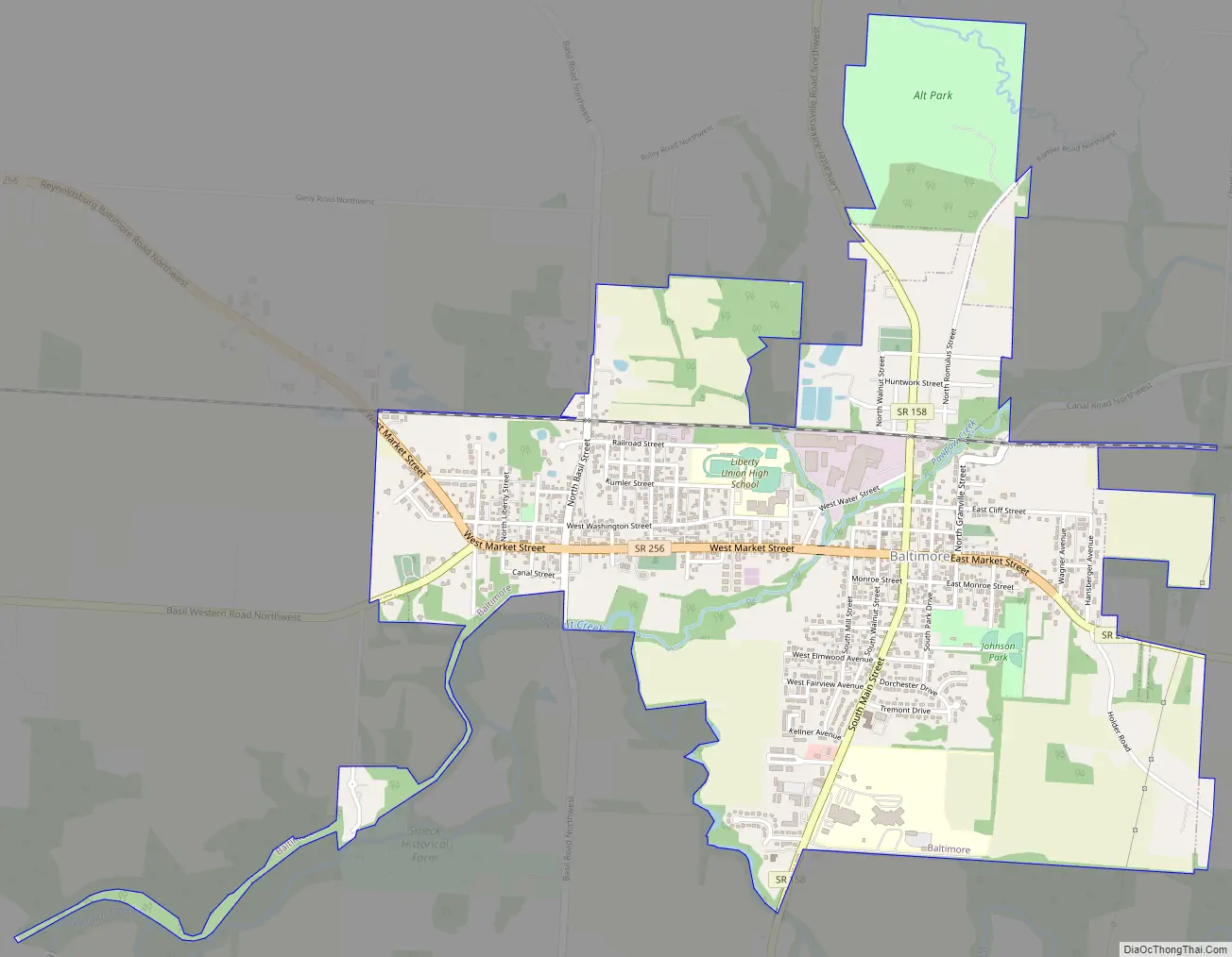
Baltimore Road Map
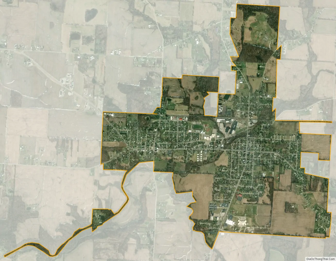
Baltimore city Satellite Map
Geography
Baltimore is located at 39°50′47″N 82°36′27″W / 39.84639°N 82.60750°W / 39.84639; -82.60750 (39.846319, -82.607503).
According to the United States Census Bureau, the village has a total area of 2.09 square miles (5.41 km), all land.
Baltimore is not adjacent to North Baltimore, Ohio, a village in Wood County approximately 35 miles south of Toledo. Baltimore and North Baltimore are actually approximately 140 miles from each other.
See also
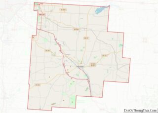
Map of Ohio State and its subdivision:- Adams
- Allen
- Ashland
- Ashtabula
- Athens
- Auglaize
- Belmont
- Brown
- Butler
- Carroll
- Champaign
- Clark
- Clermont
- Clinton
- Columbiana
- Coshocton
- Crawford
- Cuyahoga
- Darke
- Defiance
- Delaware
- Erie
- Fairfield
- Fayette
- Franklin
- Fulton
- Gallia
- Geauga
- Greene
- Guernsey
- Hamilton
- Hancock
- Hardin
- Harrison
- Henry
- Highland
- Hocking
- Holmes
- Huron
- Jackson
- Jefferson
- Knox
- Lake
- Lake Erie
- Lawrence
- Licking
- Logan
- Lorain
- Lucas
- Madison
- Mahoning
- Marion
- Medina
- Meigs
- Mercer
- Miami
- Monroe
- Montgomery
- Morgan
- Morrow
- Muskingum
- Noble
- Ottawa
- Paulding
- Perry
- Pickaway
- Pike
- Portage
- Preble
- Putnam
- Richland
- Ross
- Sandusky
- Scioto
- Seneca
- Shelby
- Stark
- Summit
- Trumbull
- Tuscarawas
- Union
- Van Wert
- Vinton
- Warren
- Washington
- Wayne
- Williams
- Wood
- Wyandot
- Alabama
- Alaska
- Arizona
- Arkansas
- California
- Colorado
- Connecticut
- Delaware
- District of Columbia
- Florida
- Georgia
- Hawaii
- Idaho
- Illinois
- Indiana
- Iowa
- Kansas
- Kentucky
- Louisiana
- Maine
- Maryland
- Massachusetts
- Michigan
- Minnesota
- Mississippi
- Missouri
- Montana
- Nebraska
- Nevada
- New Hampshire
- New Jersey
- New Mexico
- New York
- North Carolina
- North Dakota
- Ohio
- Oklahoma
- Oregon
- Pennsylvania
- Rhode Island
- South Carolina
- South Dakota
- Tennessee
- Texas
- Utah
- Vermont
- Virginia
- Washington
- West Virginia
- Wisconsin
- Wyoming