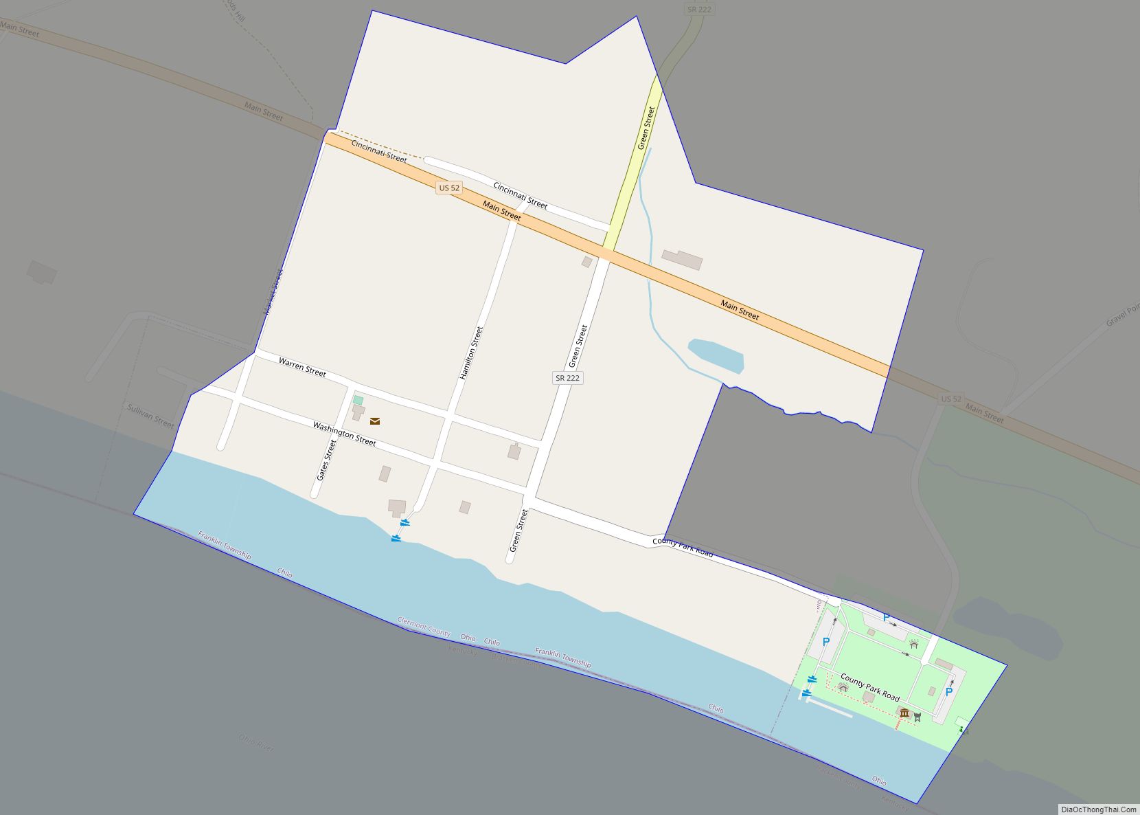
New Richmond, also known as New Richmond on the Ohio, is a village in Ohio and Pierce townships in Clermont County, Ohio, United States, founded in 1814, along the Ohio River. The population was 2,727 at the 2020 census.
| Name: | New Richmond village |
|---|---|
| LSAD Code: | 47 |
| LSAD Description: | village (suffix) |
| State: | Ohio |
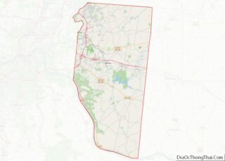
| County: | Clermont County |
| Elevation: | 469 ft (143 m) |
| Total Area: | 3.84 sq mi (9.95 km²) |
| Land Area: | 3.53 sq mi (9.15 km²) |
| Water Area: | 0.31 sq mi (0.81 km²) |
| Total Population: | 2,727 |
| Population Density: | 772.30/sq mi (298.18/km²) |
| ZIP code: | 45157 |
| Area code: | 513 |
| FIPS code: | 3955384 |
| GNISfeature ID: | 1068211 |
| Website: | http://www.newrichmond.org/ |
Online Interactive Map
Click on ![]() to view map in "full screen" mode.
to view map in "full screen" mode.
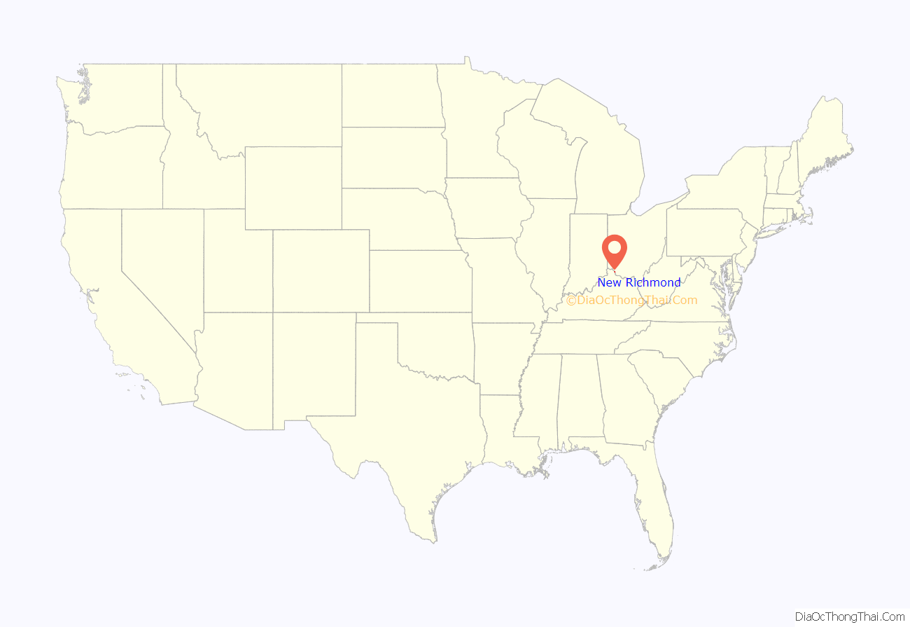
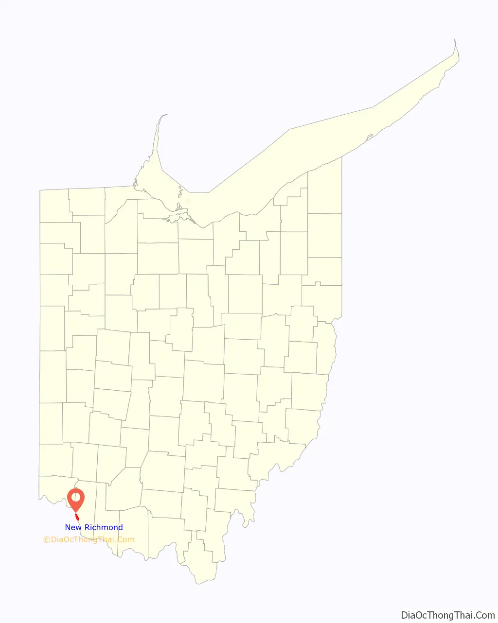
New Richmond location map. Where is New Richmond village?
History
New Richmond was once the largest and most flourishing village in Clermont County. Located along the banks of the Ohio River, it had a superior location about twenty miles east and south of Cincinnati.
Present-day New Richmond was surveyed on June 3, 1778, consisting of Robert Beal’s 1,000-acre (400 ha) survey No. 847 (purchased by Gen. William Lytle and sold to Thomas Ashburn in 1813) and David Jackson’s 333-acre (135 ha) survey No. 1539 (purchased by Jacob Light in 1804). Light laid out the village on September 19–22, 1814, reportedly with the help of his nephew, who suggested the name of his hometown of Richmond, Virginia. In February 1816, Ashburn platted the village of Susanna (named for his second wife) adjoining the upper east side of New Richmond. Among the principal features of Susanna was a large promenade along the Ohio River which still exists today as Captain Ernest Wagner Park.
In 1817, the Ohio General Assembly formed Brown County out of Clermont County’s eastern half, leaving Clermont County’s courthouse in Williamsburgh at the far eastern edge of the county. In 1823, despite opposition in Williamsburgh, the General Assembly moved the county seat to New Richmond. No courthouse was ever built there; only a year later, a central location for the county seat was found in Batavia.
Although New Richmond and Susanna complimented each other, the General Assembly passed an act on January 11, 1828, that merged them as the Village of New Richmond.
In 1833, New Richmond contained one gristmill, one saw mill, two carding machines, ten stores, two churches, and 120 residential houses.
The residents of New Richmond took an early stance against slavery. The abolitionist James G. Birney began publishing The Philanthropist in New Richmond until moving it to Cincinnati in 1836.
New Richmond was a busy hub of steamboat building with names such as Allegheny, Zephyr, Lancasters No. 1, No. 2, No. 3, and No. 4, William Tell, and Clermont.
Most of New Richmond lies on the floodplain of the Ohio River, making it vulnerable to severe flooding. Some of the first recorded floods occurred in 1898, 1907, and 1913. In the Great Flood of 1937, the worst natural disaster in New Richmond’s history, the village lost 250 homes out of 415 total. Floods in 1955, 1964, 1967, 1997 and 2018 again devastated the village. The March 1997 flood sent 6 feet (1.8 m) of floodwaters “the color of coffee with milk” up Center Street and into the homes of about two-thirds of the village’s population of 2,500. Houses were found covered in “several feet of river slime”, and the New Richmond School District closed for at least a week. Residents relied on personal boats for transportation between rooftops or for evacuation. Governor George Voinovich visited New Richmond High School, which was being used as a Red Cross shelter for flood victims.
On March 2, 2011, the Clermont County Commissioners denied a petition by New Richmond to withdraw from Ohio township by forming a paper township.
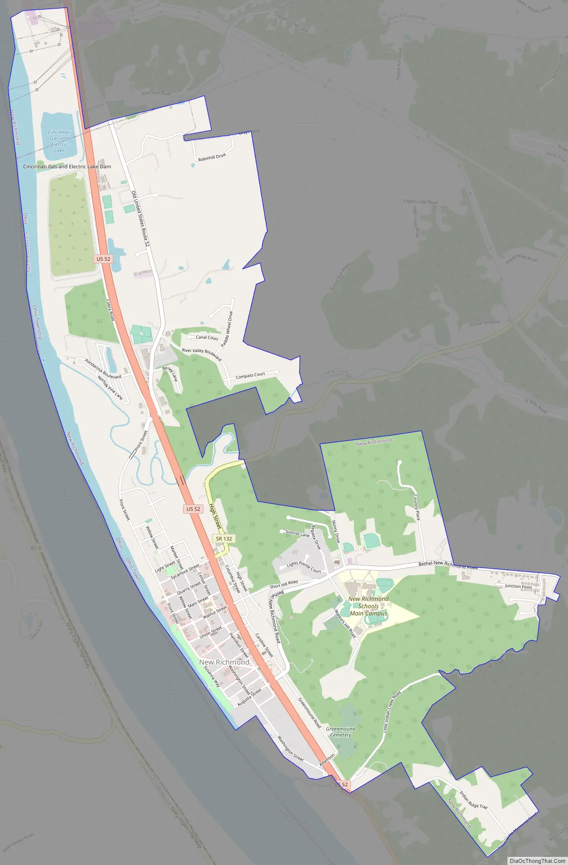
New Richmond Road Map
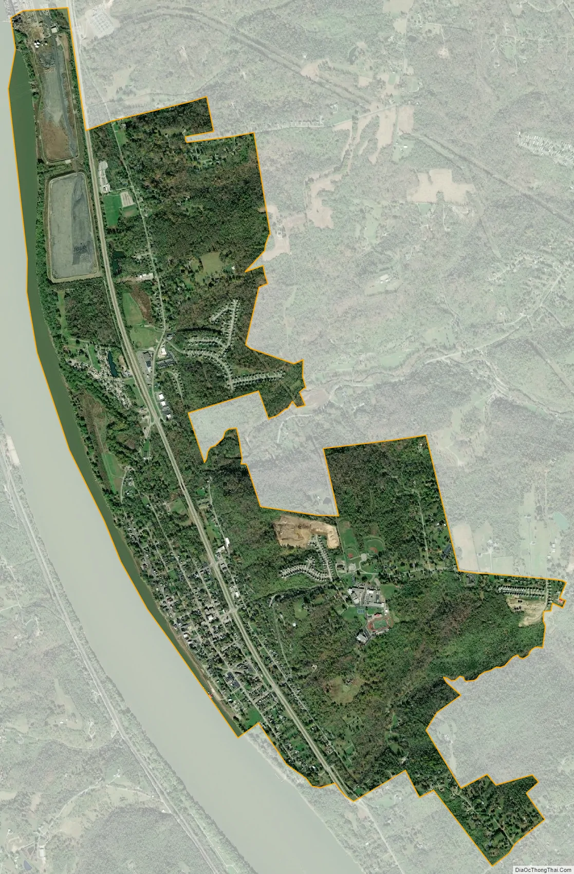
New Richmond city Satellite Map
Geography
New Richmond is located at 38°57′18″N 84°16′54″W / 38.95500°N 84.28167°W / 38.95500; -84.28167 (38.955086, -84.281720). The village is located within Ohio Township, with the exception of the Beckjord Power Station, which lies within Pierce Township.
According to the United States Census Bureau, the village has a total area of 3.72 square miles (9.63 km), of which 3.41 square miles (8.83 km) is land and 0.31 square miles (0.80 km) is water.
See also
Map of Ohio State and its subdivision:- Adams
- Allen
- Ashland
- Ashtabula
- Athens
- Auglaize
- Belmont
- Brown
- Butler
- Carroll
- Champaign
- Clark
- Clermont
- Clinton
- Columbiana
- Coshocton
- Crawford
- Cuyahoga
- Darke
- Defiance
- Delaware
- Erie
- Fairfield
- Fayette
- Franklin
- Fulton
- Gallia
- Geauga
- Greene
- Guernsey
- Hamilton
- Hancock
- Hardin
- Harrison
- Henry
- Highland
- Hocking
- Holmes
- Huron
- Jackson
- Jefferson
- Knox
- Lake
- Lake Erie
- Lawrence
- Licking
- Logan
- Lorain
- Lucas
- Madison
- Mahoning
- Marion
- Medina
- Meigs
- Mercer
- Miami
- Monroe
- Montgomery
- Morgan
- Morrow
- Muskingum
- Noble
- Ottawa
- Paulding
- Perry
- Pickaway
- Pike
- Portage
- Preble
- Putnam
- Richland
- Ross
- Sandusky
- Scioto
- Seneca
- Shelby
- Stark
- Summit
- Trumbull
- Tuscarawas
- Union
- Van Wert
- Vinton
- Warren
- Washington
- Wayne
- Williams
- Wood
- Wyandot
- Alabama
- Alaska
- Arizona
- Arkansas
- California
- Colorado
- Connecticut
- Delaware
- District of Columbia
- Florida
- Georgia
- Hawaii
- Idaho
- Illinois
- Indiana
- Iowa
- Kansas
- Kentucky
- Louisiana
- Maine
- Maryland
- Massachusetts
- Michigan
- Minnesota
- Mississippi
- Missouri
- Montana
- Nebraska
- Nevada
- New Hampshire
- New Jersey
- New Mexico
- New York
- North Carolina
- North Dakota
- Ohio
- Oklahoma
- Oregon
- Pennsylvania
- Rhode Island
- South Carolina
- South Dakota
- Tennessee
- Texas
- Utah
- Vermont
- Virginia
- Washington
- West Virginia
- Wisconsin
- Wyoming