Bellville is a village in Richland County in the U.S. state of Ohio. It is part of the Mansfield, Ohio Metropolitan Statistical Area. The population was 1,918 at the 2010 census.
| Name: | Bellville village |
|---|---|
| LSAD Code: | 47 |
| LSAD Description: | village (suffix) |
| State: | Ohio |
| County: | Richland County |
| Founded: | 1808 |
| Incorporated: | 1841 (village) |
| Elevation: | 1,138 ft (347 m) |
| Total Area: | 2.87 sq mi (7.44 km²) |
| Land Area: | 2.85 sq mi (7.38 km²) |
| Water Area: | 0.02 sq mi (0.06 km²) |
| Total Population: | 1,963 |
| Population Density: | 688.53/sq mi (265.84/km²) |
| ZIP code: | 44813 |
| Area code: | 419 |
| FIPS code: | 3905284 |
| GNISfeature ID: | 1064409 |
Online Interactive Map
Click on ![]() to view map in "full screen" mode.
to view map in "full screen" mode.
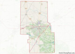
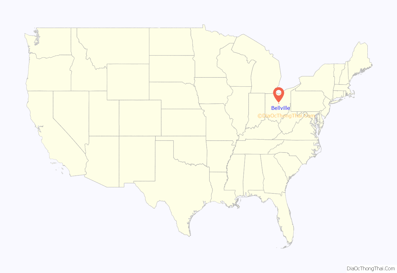
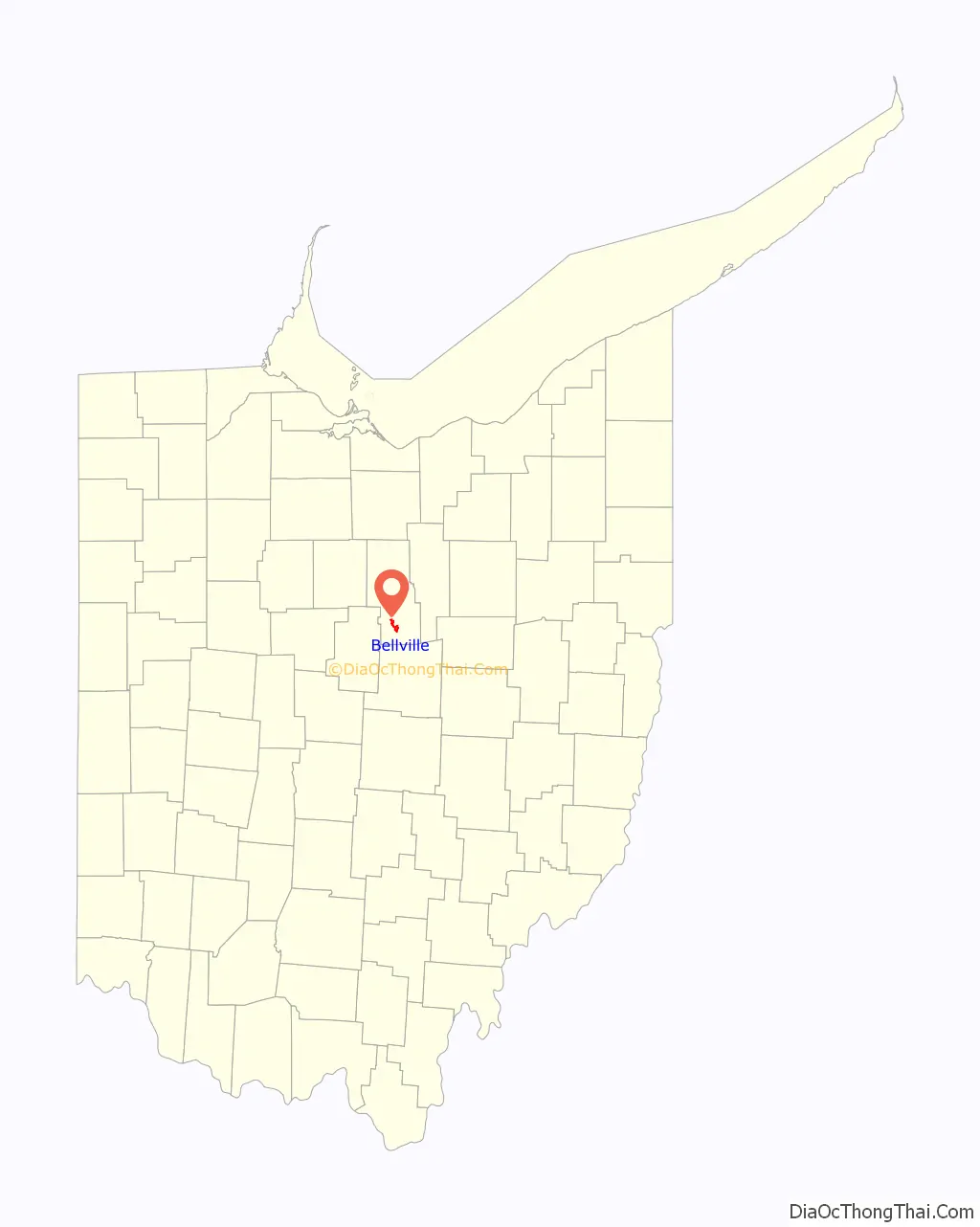
Bellville location map. Where is Bellville village?
History
The first settlers, James McCluer, and Jonathan Oldfield, came to Bellville in 1808. They made their way from what it now known as Fredericktown by a path made from a tornado. McCluer gained ownership of the land and along with Oldfield he built the first cabin in Bellville on what is now known as Ankneytown Road. Even though they were the first settlers to the town and McCluer owned the land, Robert Bell was the actual founder of the village. Other early settlers included Thomas and Bridget O’Leary.
McCluer sold the land to Robert Bell in 1815, and Bell began to shape the village of Bellville. The development of Main Street, Ogle Street and Durbin Road began. There were 48 lots in Bellville and a tavern was among the first businesses to be constructed. The first post office came to Bellville in 1824, further helping to put its name on the map. Before the post office was built, those who lived in the village had to travel a long distance just to send a letter. The first church was constructed in Bellville map in 1834, though church services had taken place since 1814. Up to this point, people’s homes were being used for church and school. The church was The Methodist Episcopal Church and was organized by Bell and preacher William Oldfield.
The first school started in Bellville shortly after McCluer settled on the land in his own cabin in 1818. At this time school was still limited to boys who had to travel long distances just to get there. Girls had to stay home and tend to household chores. By 1857 a working school started where the Clear Fork Elementary buildings are now. Those buildings are no longer used for school related purposes today.
Businesses were popping up everywhere in Bellville. An electric plant started near the current bike trail and flour mill on route 97. The B&O railroad operated through the path of the bike trail as well. Two hotels started called Hotel Lefevre and Hotel Norris. The year 1877 marked the construction of the town hall and was a place for meetings and those who needed to be jailed. The popular bandstand which is in the middle of Bellville was built in 1879. A doctor’s office was even developed for tuberculosis patients. Eventually, there were two blacksmith shops, hardware stores, a bakery, four grocery stores, two harness shops, two barber shops, multiple dentists and the Exchange bank in 1872.
Bellville was also well known for being a part of the gold rush. The first gold was panned on Dead Man’s Run, which caused people from all over to come pan for gold. The gold was discovered by James C. Lee. Even though the gold that was found was almost pure, little more was discovered.
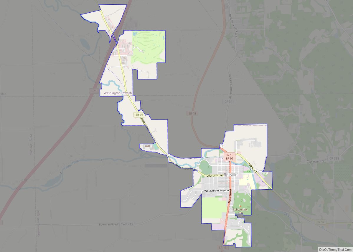
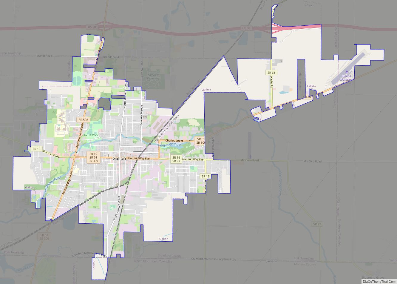
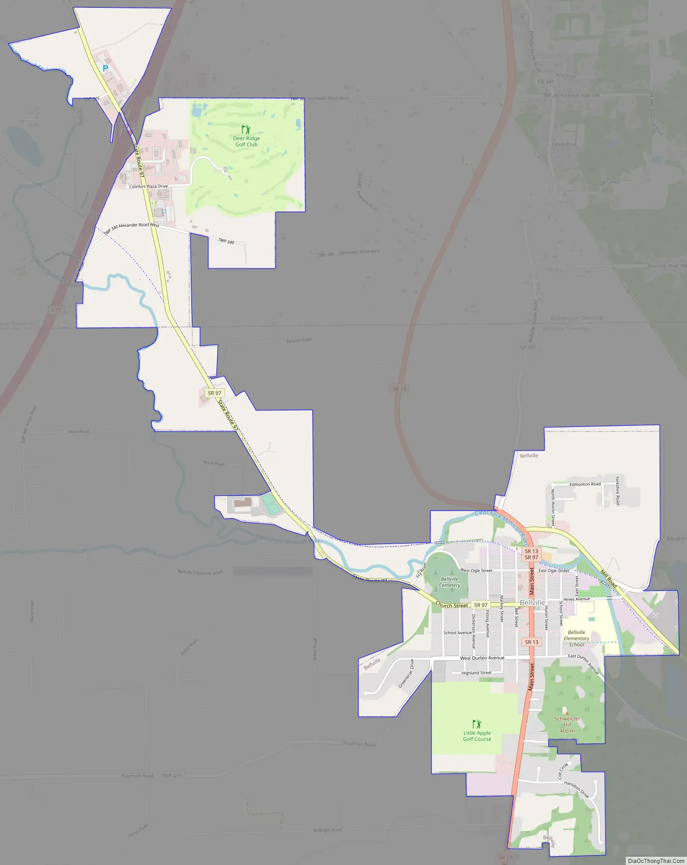
Bellville Road Map
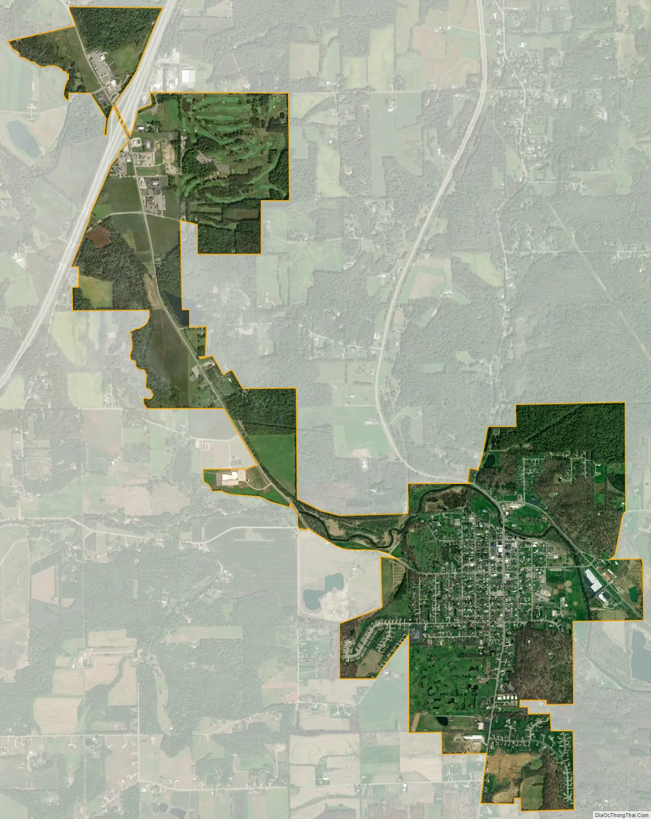
Bellville city Satellite Map
Geography
Bellville is located at 40°37′32″N 82°31′5″W / 40.62556°N 82.51806°W / 40.62556; -82.51806 (40.625582, -82.518050), along the Clear Fork of the Mohican River.
According to the United States Census Bureau, the village has a total area of 2.75 square miles (7.12 km), of which 2.74 square miles (7.10 km) is land and 0.01 square miles (0.03 km) is water.
See also
Map of Ohio State and its subdivision:- Adams
- Allen
- Ashland
- Ashtabula
- Athens
- Auglaize
- Belmont
- Brown
- Butler
- Carroll
- Champaign
- Clark
- Clermont
- Clinton
- Columbiana
- Coshocton
- Crawford
- Cuyahoga
- Darke
- Defiance
- Delaware
- Erie
- Fairfield
- Fayette
- Franklin
- Fulton
- Gallia
- Geauga
- Greene
- Guernsey
- Hamilton
- Hancock
- Hardin
- Harrison
- Henry
- Highland
- Hocking
- Holmes
- Huron
- Jackson
- Jefferson
- Knox
- Lake
- Lake Erie
- Lawrence
- Licking
- Logan
- Lorain
- Lucas
- Madison
- Mahoning
- Marion
- Medina
- Meigs
- Mercer
- Miami
- Monroe
- Montgomery
- Morgan
- Morrow
- Muskingum
- Noble
- Ottawa
- Paulding
- Perry
- Pickaway
- Pike
- Portage
- Preble
- Putnam
- Richland
- Ross
- Sandusky
- Scioto
- Seneca
- Shelby
- Stark
- Summit
- Trumbull
- Tuscarawas
- Union
- Van Wert
- Vinton
- Warren
- Washington
- Wayne
- Williams
- Wood
- Wyandot
- Alabama
- Alaska
- Arizona
- Arkansas
- California
- Colorado
- Connecticut
- Delaware
- District of Columbia
- Florida
- Georgia
- Hawaii
- Idaho
- Illinois
- Indiana
- Iowa
- Kansas
- Kentucky
- Louisiana
- Maine
- Maryland
- Massachusetts
- Michigan
- Minnesota
- Mississippi
- Missouri
- Montana
- Nebraska
- Nevada
- New Hampshire
- New Jersey
- New Mexico
- New York
- North Carolina
- North Dakota
- Ohio
- Oklahoma
- Oregon
- Pennsylvania
- Rhode Island
- South Carolina
- South Dakota
- Tennessee
- Texas
- Utah
- Vermont
- Virginia
- Washington
- West Virginia
- Wisconsin
- Wyoming