Berlin Heights is a village in Berlin Township, Erie County, Ohio, United States. The population was 714 at the 2010 census. It is part of the Sandusky, Ohio Metropolitan Statistical Area.
In the late 1850s a branch of the “free love” movement was established in Berlin Heights.
| Name: | Berlin Heights village |
|---|---|
| LSAD Code: | 47 |
| LSAD Description: | village (suffix) |
| State: | Ohio |
| County: | Erie County |
| Elevation: | 778 ft (237 m) |
| Total Area: | 1.60 sq mi (4.15 km²) |
| Land Area: | 1.60 sq mi (4.14 km²) |
| Water Area: | 0.00 sq mi (0.00 km²) |
| Total Population: | 651 |
| Population Density: | 406.88/sq mi (157.06/km²) |
| ZIP code: | 44814 |
| Area code: | 419 |
| FIPS code: | 3905900 |
| GNISfeature ID: | 1064420 |
| Website: | villageofberlinheights.com |
Online Interactive Map
Click on ![]() to view map in "full screen" mode.
to view map in "full screen" mode.
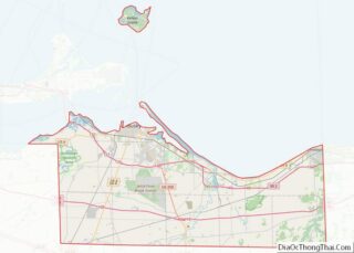
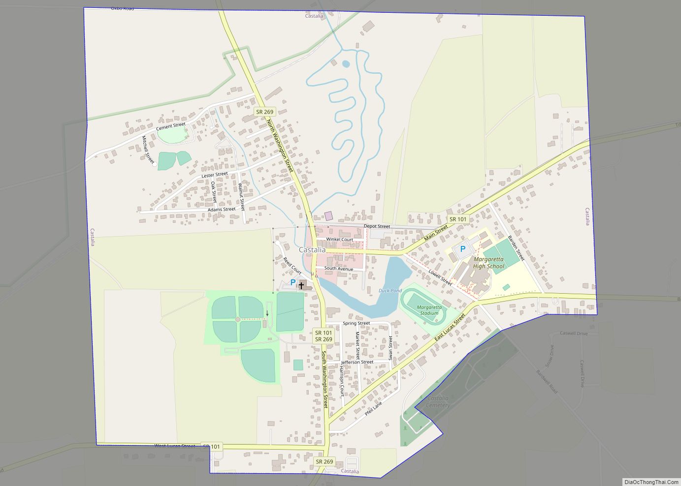
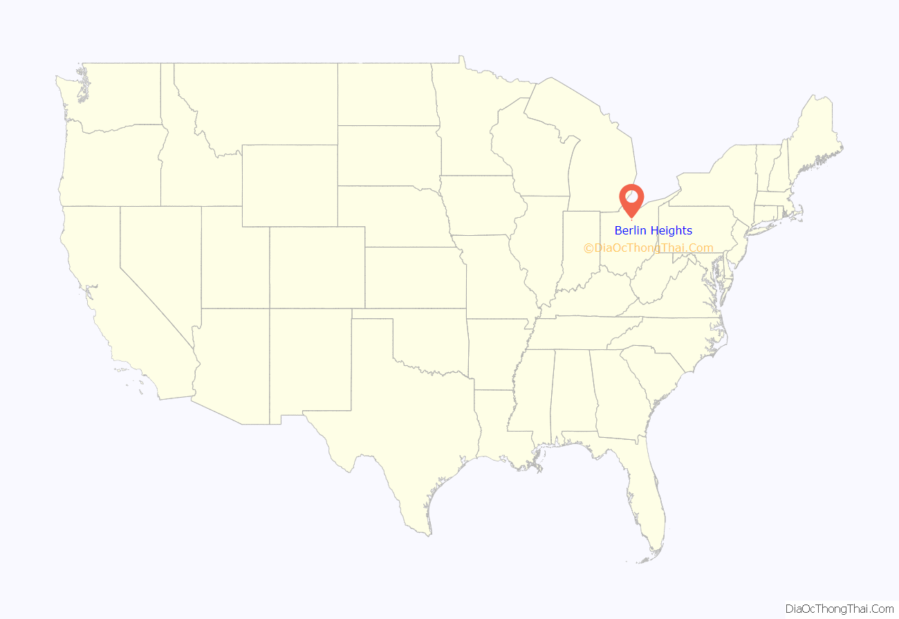
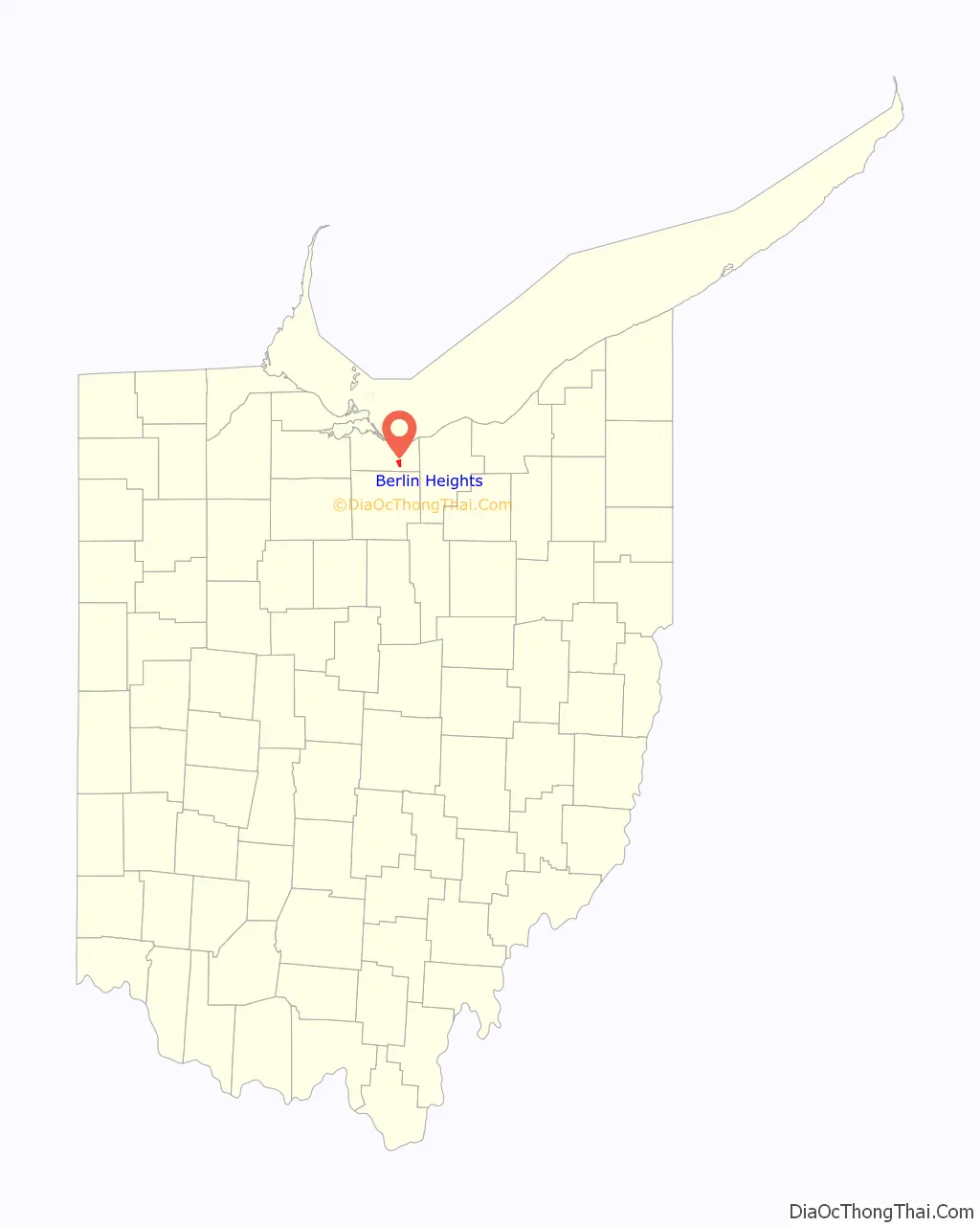
Berlin Heights location map. Where is Berlin Heights village?
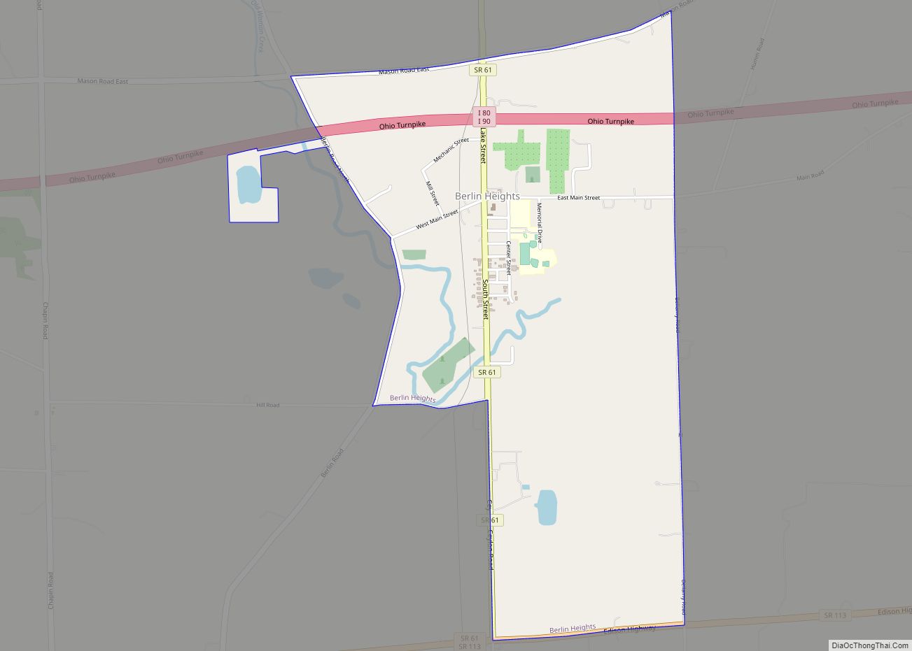
Berlin Heights Road Map
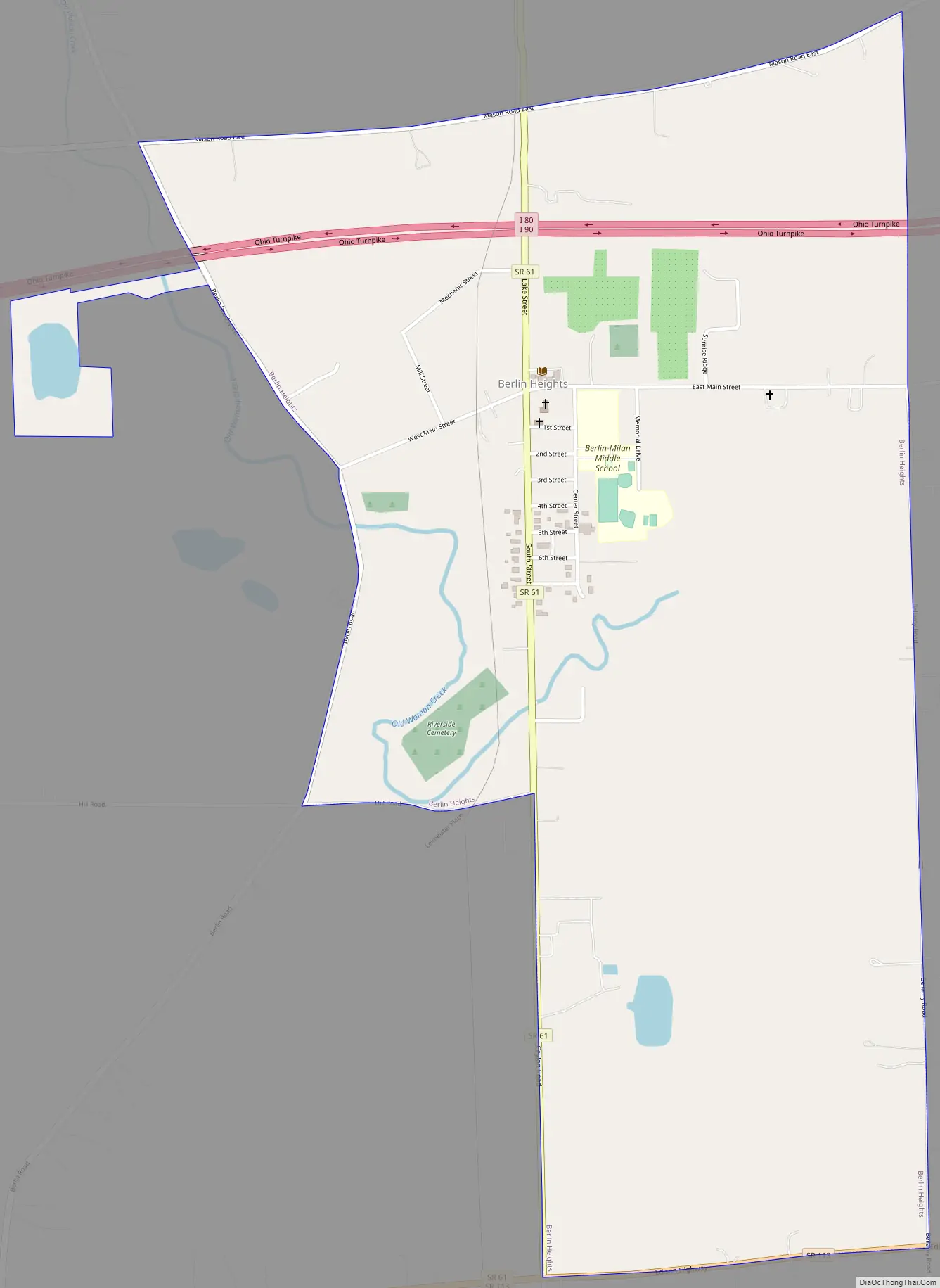
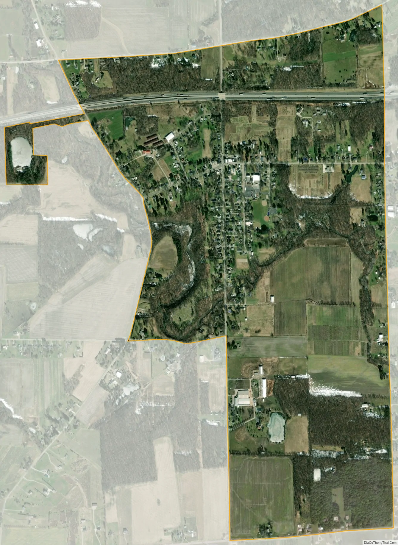
Berlin Heights city Satellite Map
Geography
Berlin Heights is located at 41°19′24″N 82°29′33″W / 41.32333°N 82.49250°W / 41.32333; -82.49250 (41.323400, -82.492491). The village is on State Route 61, about three miles south of Ceylon Junction and a mile north of Teaco Junction. Berlin Heights is also located between the cities of Norwalk and Vermilion.
According to the United States Census Bureau, the village has a total area of 1.60 square miles (4.14 km), all land.
See also
Map of Ohio State and its subdivision:- Adams
- Allen
- Ashland
- Ashtabula
- Athens
- Auglaize
- Belmont
- Brown
- Butler
- Carroll
- Champaign
- Clark
- Clermont
- Clinton
- Columbiana
- Coshocton
- Crawford
- Cuyahoga
- Darke
- Defiance
- Delaware
- Erie
- Fairfield
- Fayette
- Franklin
- Fulton
- Gallia
- Geauga
- Greene
- Guernsey
- Hamilton
- Hancock
- Hardin
- Harrison
- Henry
- Highland
- Hocking
- Holmes
- Huron
- Jackson
- Jefferson
- Knox
- Lake
- Lake Erie
- Lawrence
- Licking
- Logan
- Lorain
- Lucas
- Madison
- Mahoning
- Marion
- Medina
- Meigs
- Mercer
- Miami
- Monroe
- Montgomery
- Morgan
- Morrow
- Muskingum
- Noble
- Ottawa
- Paulding
- Perry
- Pickaway
- Pike
- Portage
- Preble
- Putnam
- Richland
- Ross
- Sandusky
- Scioto
- Seneca
- Shelby
- Stark
- Summit
- Trumbull
- Tuscarawas
- Union
- Van Wert
- Vinton
- Warren
- Washington
- Wayne
- Williams
- Wood
- Wyandot
- Alabama
- Alaska
- Arizona
- Arkansas
- California
- Colorado
- Connecticut
- Delaware
- District of Columbia
- Florida
- Georgia
- Hawaii
- Idaho
- Illinois
- Indiana
- Iowa
- Kansas
- Kentucky
- Louisiana
- Maine
- Maryland
- Massachusetts
- Michigan
- Minnesota
- Mississippi
- Missouri
- Montana
- Nebraska
- Nevada
- New Hampshire
- New Jersey
- New Mexico
- New York
- North Carolina
- North Dakota
- Ohio
- Oklahoma
- Oregon
- Pennsylvania
- Rhode Island
- South Carolina
- South Dakota
- Tennessee
- Texas
- Utah
- Vermont
- Virginia
- Washington
- West Virginia
- Wisconsin
- Wyoming