Bluffton, originally known as Shannon, is a village in Allen and Hancock counties in the U.S. state of Ohio. The population was 3,967 at the 2020 census. Bluffton is home to Bluffton University, a four-year educational institution affiliated with Mennonite Church USA. Bluffton is served by the Bluffton general aviation airport. Bluffton participates in the Tree City USA program.
The Allen County portion of Bluffton is part of the Lima Metropolitan Statistical Area, while the Hancock County portion is part of the Findlay Micropolitan Statistical Area.
| Name: | Bluffton village |
|---|---|
| LSAD Code: | 47 |
| LSAD Description: | village (suffix) |
| State: | Ohio |
| County: | Allen County, Hancock County |
| Elevation: | 833 ft (254 m) |
| Total Area: | 3.77 sq mi (9.78 km²) |
| Land Area: | 3.69 sq mi (9.57 km²) |
| Water Area: | 0.08 sq mi (0.21 km²) |
| Total Population: | 3,967 |
| Population Density: | 1,073.61/sq mi (414.57/km²) |
| ZIP code: | 45817 |
| Area code: | 419, 567 |
| FIPS code: | 3907426 |
| GNISfeature ID: | 1064461 |
| Website: | www.bluffton-ohio.com |
Online Interactive Map
Click on ![]() to view map in "full screen" mode.
to view map in "full screen" mode.
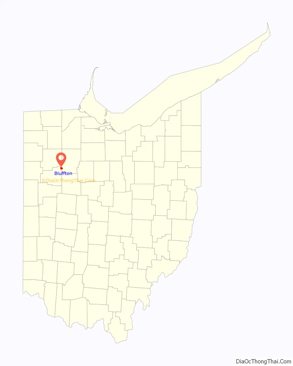
Bluffton location map. Where is Bluffton village?
History
The village was founded in 1831 by Swiss Mennonites, German Reformists and Irish Catholics. It was originally named ‘Crogan’s Corners’ after the postmaster. When the citizens chose to incorporate as a village, the Irish suggested the name ‘Shannon’ because of the green fields around the area. As there was already a village named Shannon in the state, the town was renamed Bluffton for the hilly terrain of the town site.
Bank robber John Dillinger robbed the Bluffton Bank (now known as Citizens National Bank of Bluffton) of $6,000 on August 14, 1933.
In 2011, Bluffton celebrated its 150th birthday with a series of town-wide events.
WBWH-LP (96.1 FM) serves the Bluffton community as its only full-time radio station.
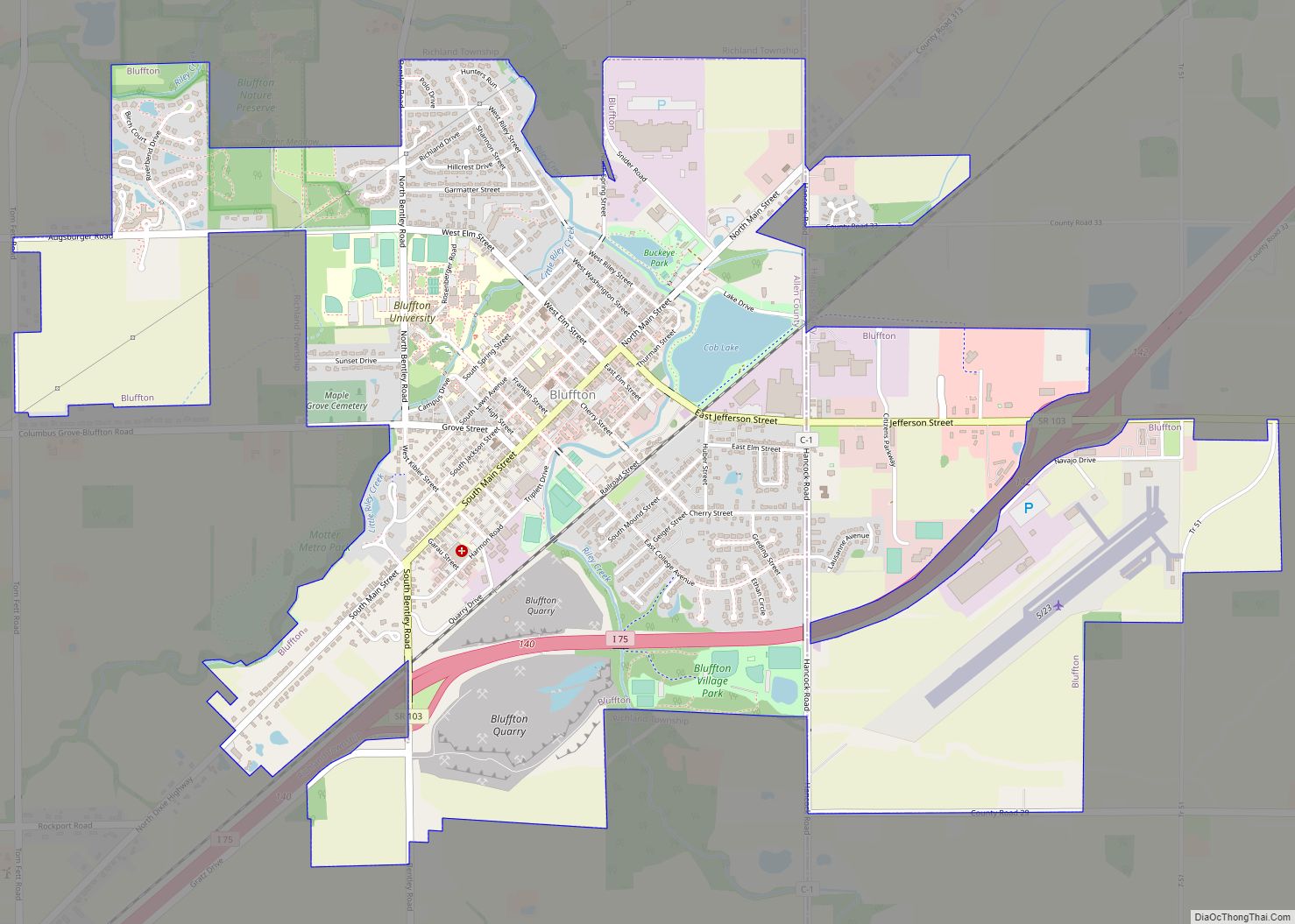
Bluffton Road Map
Bluffton city Satellite Map
Geography
Bluffton is located at 40°53′38″N 83°53′30″W / 40.89389°N 83.89167°W / 40.89389; -83.89167 (40.893881, -83.891605).
According to the United States Census Bureau, the village has a total area of 3.62 square miles (9.38 km), of which 3.55 square miles (9.19 km) is land and 0.07 square miles (0.18 km) is water.
Riley Creek flows through Bluffton.
See also
Map of Ohio State and its subdivision:- Adams
- Allen
- Ashland
- Ashtabula
- Athens
- Auglaize
- Belmont
- Brown
- Butler
- Carroll
- Champaign
- Clark
- Clermont
- Clinton
- Columbiana
- Coshocton
- Crawford
- Cuyahoga
- Darke
- Defiance
- Delaware
- Erie
- Fairfield
- Fayette
- Franklin
- Fulton
- Gallia
- Geauga
- Greene
- Guernsey
- Hamilton
- Hancock
- Hardin
- Harrison
- Henry
- Highland
- Hocking
- Holmes
- Huron
- Jackson
- Jefferson
- Knox
- Lake
- Lake Erie
- Lawrence
- Licking
- Logan
- Lorain
- Lucas
- Madison
- Mahoning
- Marion
- Medina
- Meigs
- Mercer
- Miami
- Monroe
- Montgomery
- Morgan
- Morrow
- Muskingum
- Noble
- Ottawa
- Paulding
- Perry
- Pickaway
- Pike
- Portage
- Preble
- Putnam
- Richland
- Ross
- Sandusky
- Scioto
- Seneca
- Shelby
- Stark
- Summit
- Trumbull
- Tuscarawas
- Union
- Van Wert
- Vinton
- Warren
- Washington
- Wayne
- Williams
- Wood
- Wyandot
- Alabama
- Alaska
- Arizona
- Arkansas
- California
- Colorado
- Connecticut
- Delaware
- District of Columbia
- Florida
- Georgia
- Hawaii
- Idaho
- Illinois
- Indiana
- Iowa
- Kansas
- Kentucky
- Louisiana
- Maine
- Maryland
- Massachusetts
- Michigan
- Minnesota
- Mississippi
- Missouri
- Montana
- Nebraska
- Nevada
- New Hampshire
- New Jersey
- New Mexico
- New York
- North Carolina
- North Dakota
- Ohio
- Oklahoma
- Oregon
- Pennsylvania
- Rhode Island
- South Carolina
- South Dakota
- Tennessee
- Texas
- Utah
- Vermont
- Virginia
- Washington
- West Virginia
- Wisconsin
- Wyoming

