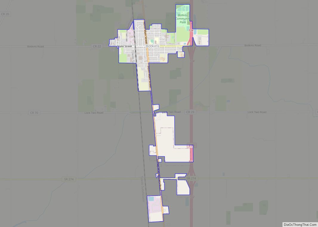
Botkins is a village in Shelby County, Ohio, United States. The population was 1,155 at the 2010 census.
Botkins is located alongside Interstate 75 at Exit 104. Botkins is at the northern edge of Shelby County, immediately south of its border with Auglaize County. It also lies at the northern edge of the 937 area code. Botkins High School boys basketball team won their school’s first ever state title in the schools history in 2021.
| Name: | Botkins village |
|---|---|
| LSAD Code: | 47 |
| LSAD Description: | village (suffix) |
| State: | Ohio |
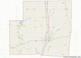
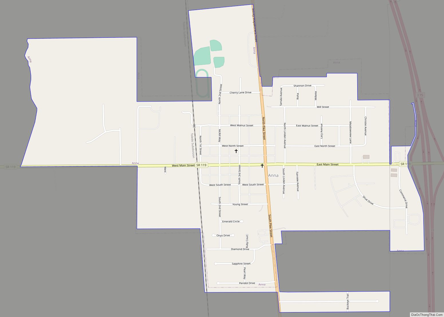
| County: | Shelby County |
| Elevation: | 1,011 ft (308 m) |
| Total Area: | 1.27 sq mi (3.30 km²) |
| Land Area: | 1.26 sq mi (3.27 km²) |
| Water Area: | 0.01 sq mi (0.03 km²) |
| Total Population: | 1,155 |
| Population Density: | 914.49/sq mi (353.12/km²) |
| ZIP code: | 45306 |
| Area code: | 937, 326 |
| FIPS code: | 3907832 |
| GNISfeature ID: | 1064469 |
| Website: | http://www.botkinsohio.com |
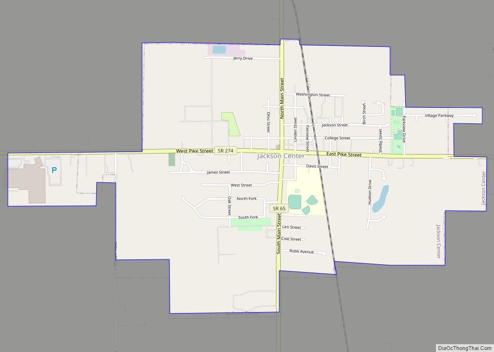
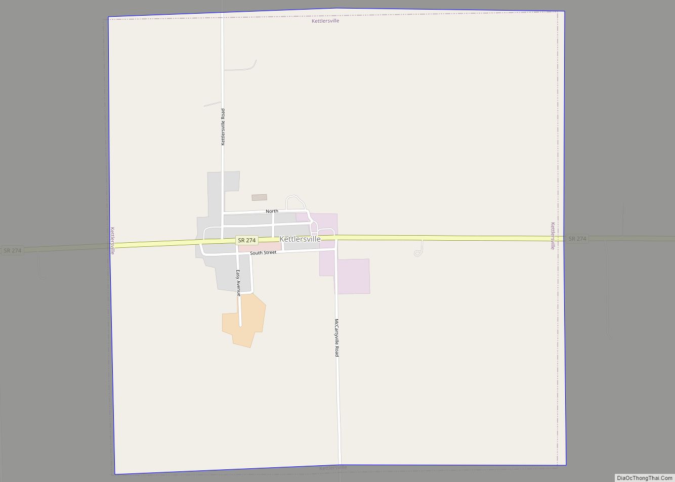
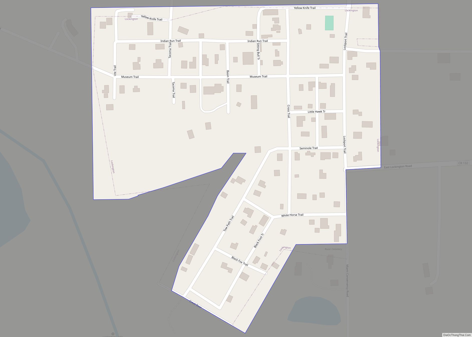
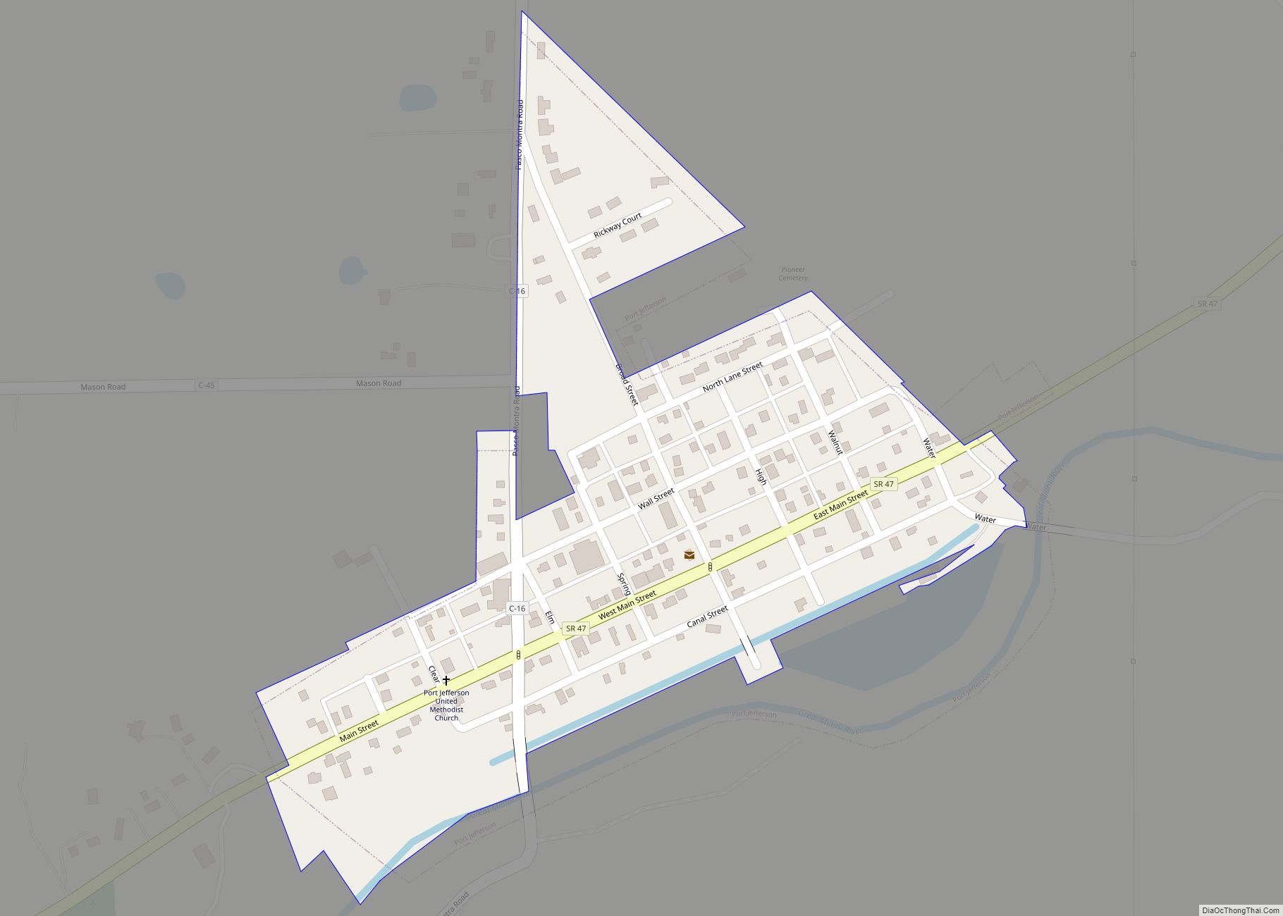
Online Interactive Map
Click on ![]() to view map in "full screen" mode.
to view map in "full screen" mode.
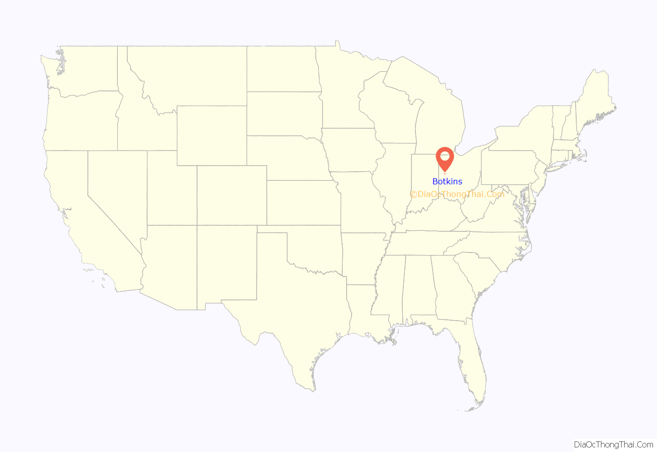
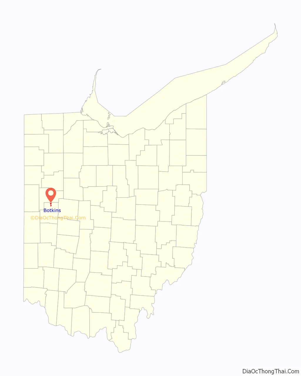
Botkins location map. Where is Botkins village?
History
Botkins was platted in 1858, and named for Richard Botkin, the original owner of the town site. A post office called Botkins has been in operation since 1877. The village was incorporated in 1881.
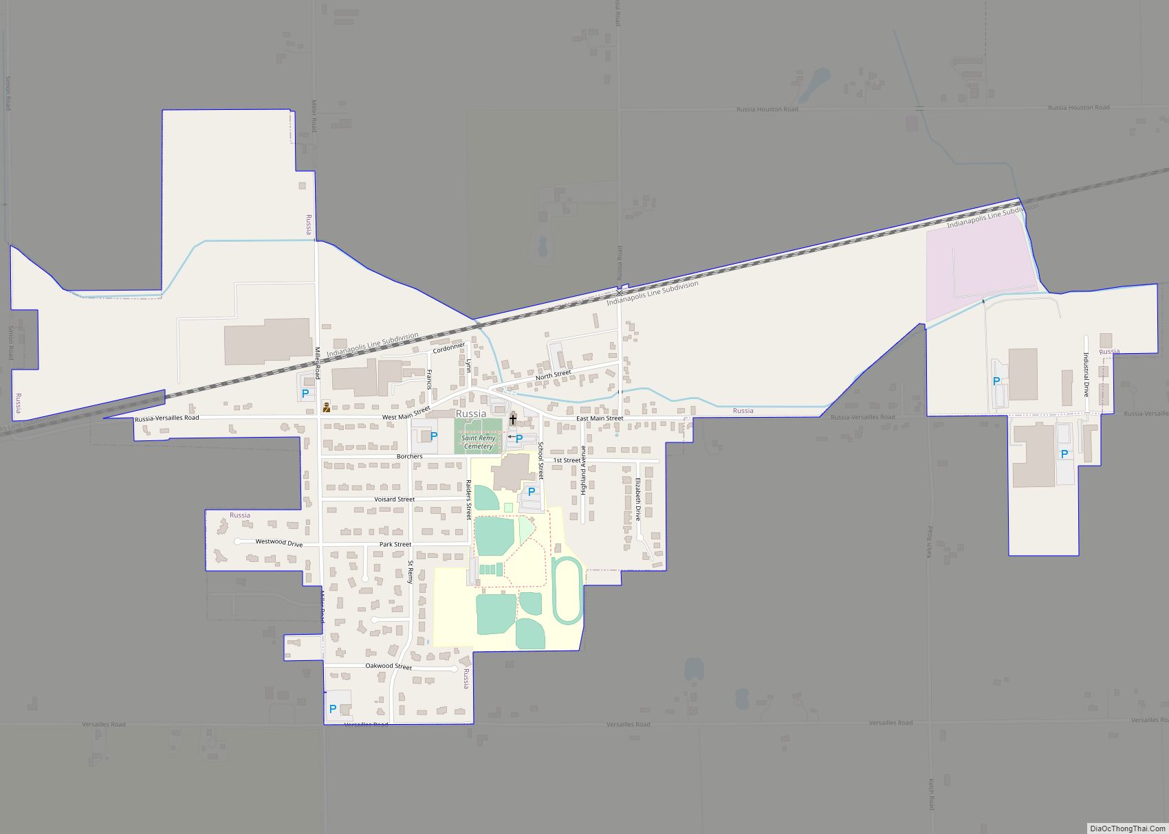
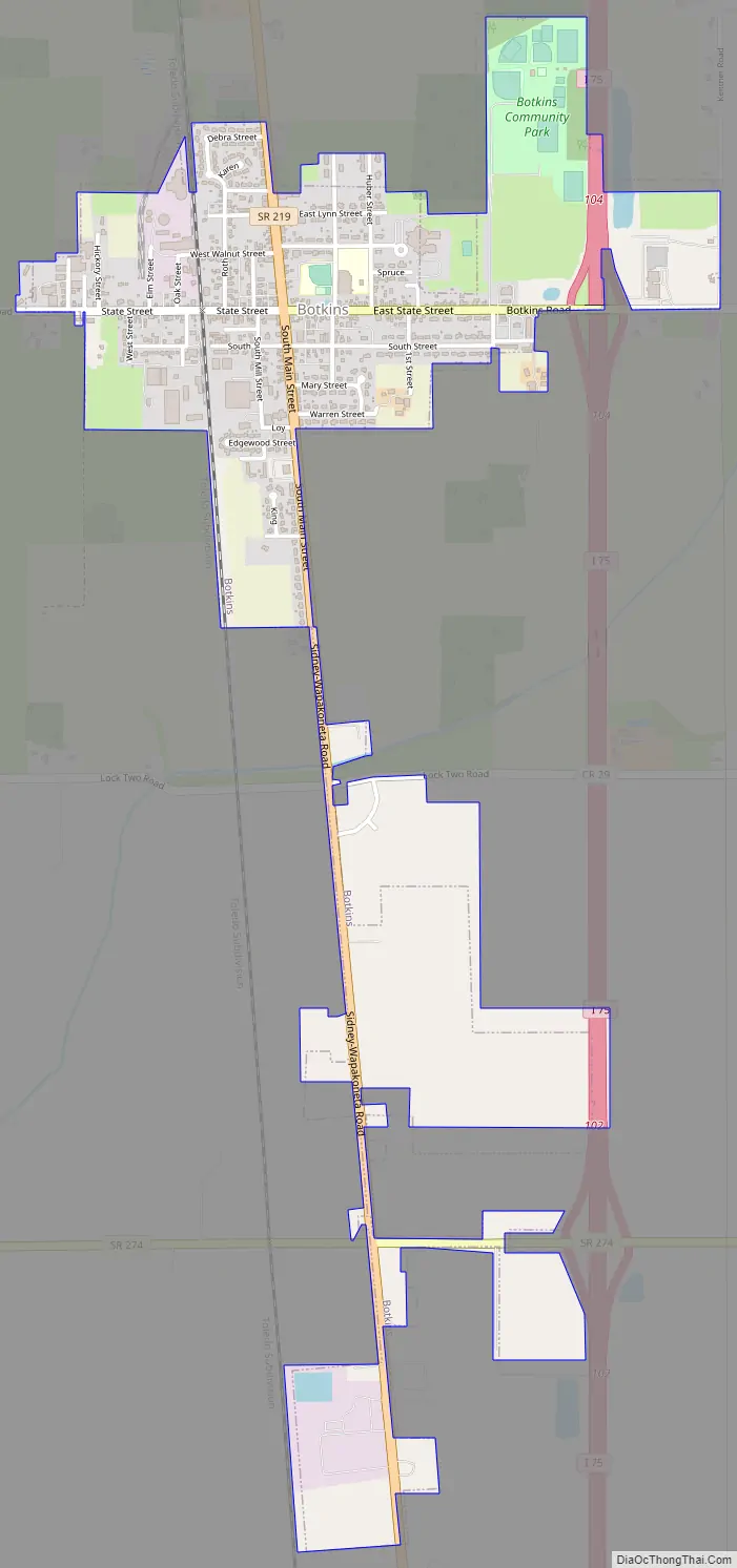
Botkins Road Map
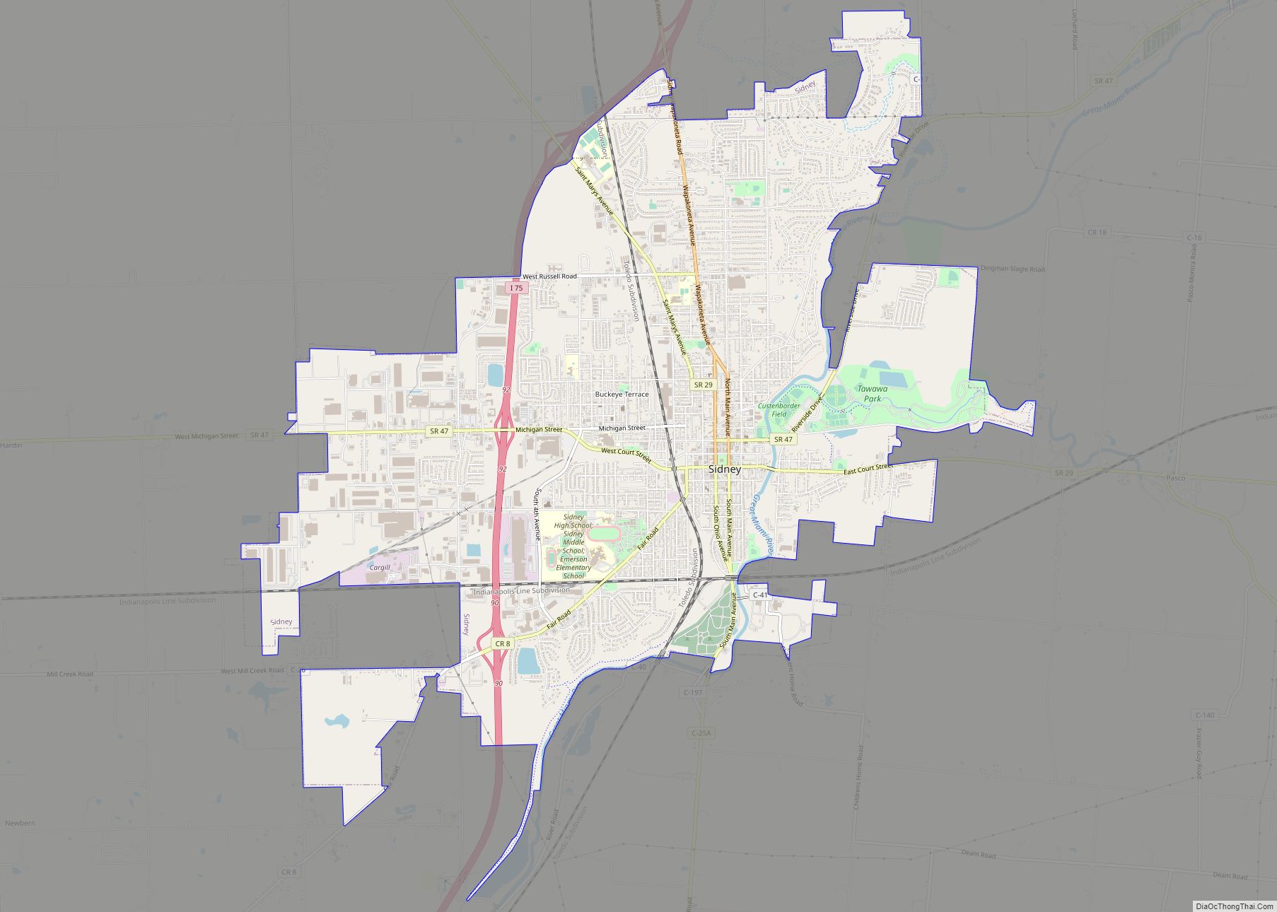
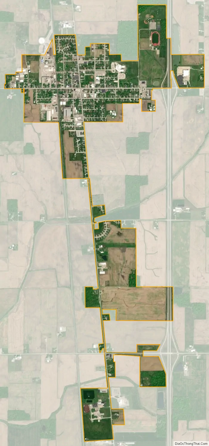
Botkins city Satellite Map
Geography
Botkins is located at 40°27′33″N 84°10′58″W / 40.45917°N 84.18278°W / 40.45917; -84.18278 (40.459252, -84.182793).
According to the United States Census Bureau, the village has a total area of 1.25 square miles (3.24 km), of which 1.24 square miles (3.21 km) is land and 0.01 square miles (0.03 km) is water.
The center of the solar eclipse of April 8, 2024, will travel over the northwest corner of Botkins.
See also
Map of Ohio State and its subdivision:- Adams
- Allen
- Ashland
- Ashtabula
- Athens
- Auglaize
- Belmont
- Brown
- Butler
- Carroll
- Champaign
- Clark
- Clermont
- Clinton
- Columbiana
- Coshocton
- Crawford
- Cuyahoga
- Darke
- Defiance
- Delaware
- Erie
- Fairfield
- Fayette
- Franklin
- Fulton
- Gallia
- Geauga
- Greene
- Guernsey
- Hamilton
- Hancock
- Hardin
- Harrison
- Henry
- Highland
- Hocking
- Holmes
- Huron
- Jackson
- Jefferson
- Knox
- Lake
- Lake Erie
- Lawrence
- Licking
- Logan
- Lorain
- Lucas
- Madison
- Mahoning
- Marion
- Medina
- Meigs
- Mercer
- Miami
- Monroe
- Montgomery
- Morgan
- Morrow
- Muskingum
- Noble
- Ottawa
- Paulding
- Perry
- Pickaway
- Pike
- Portage
- Preble
- Putnam
- Richland
- Ross
- Sandusky
- Scioto
- Seneca
- Shelby
- Stark
- Summit
- Trumbull
- Tuscarawas
- Union
- Van Wert
- Vinton
- Warren
- Washington
- Wayne
- Williams
- Wood
- Wyandot
- Alabama
- Alaska
- Arizona
- Arkansas
- California
- Colorado
- Connecticut
- Delaware
- District of Columbia
- Florida
- Georgia
- Hawaii
- Idaho
- Illinois
- Indiana
- Iowa
- Kansas
- Kentucky
- Louisiana
- Maine
- Maryland
- Massachusetts
- Michigan
- Minnesota
- Mississippi
- Missouri
- Montana
- Nebraska
- Nevada
- New Hampshire
- New Jersey
- New Mexico
- New York
- North Carolina
- North Dakota
- Ohio
- Oklahoma
- Oregon
- Pennsylvania
- Rhode Island
- South Carolina
- South Dakota
- Tennessee
- Texas
- Utah
- Vermont
- Virginia
- Washington
- West Virginia
- Wisconsin
- Wyoming