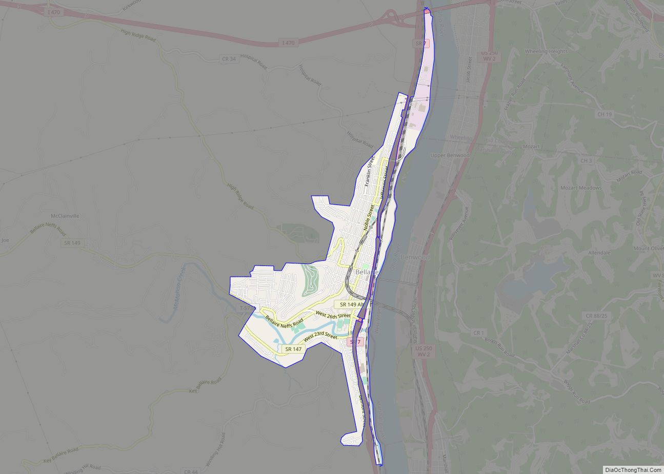
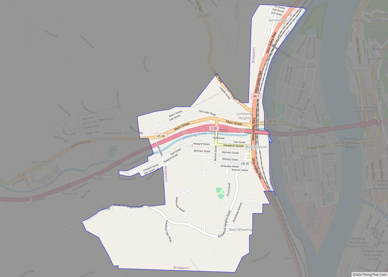
Bridgeport is a village in eastern Belmont County, Ohio, United States. It lies across the Ohio River from Wheeling, West Virginia, at the mouth of Wheeling Creek and is connected by two bridges to Wheeling Island. The population was 1,582 at the 2020 census. It is part of the Wheeling metropolitan area.
| Name: | Bridgeport village |
|---|---|
| LSAD Code: | 47 |
| LSAD Description: | village (suffix) |
| State: | Ohio |
| County: | Belmont County |
| Elevation: | 656 ft (200 m) |
| Total Area: | 1.38 sq mi (3.56 km²) |
| Land Area: | 1.37 sq mi (3.54 km²) |
| Water Area: | 0.01 sq mi (0.03 km²) |
| Total Population: | 1,582 |
| Population Density: | 1,158.13/sq mi (447.01/km²) |
| ZIP code: | 43912 |
| Area code: | 740 |
| FIPS code: | 3908560 |
| GNISfeature ID: | 1064487 |
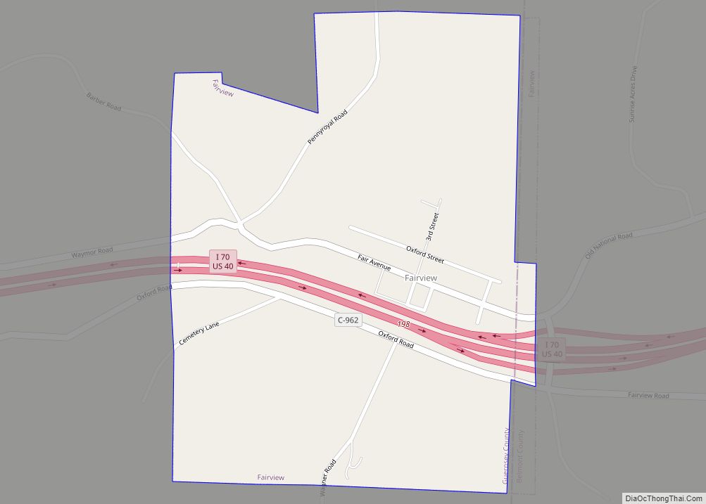
Online Interactive Map
Click on ![]() to view map in "full screen" mode.
to view map in "full screen" mode.
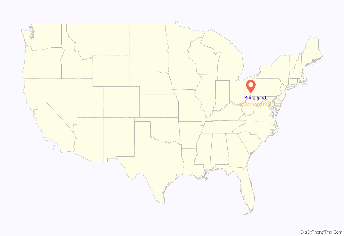
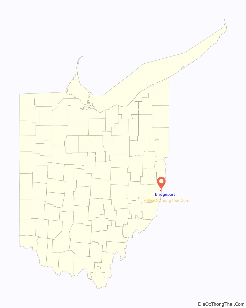
Bridgeport location map. Where is Bridgeport village?
History
Bridgeport was originally known as Canton, and under the latter name was laid out in 1806 by Colonel Ebenezer Zane. The present name is for a bridge constructed near the town site in the 1810s.
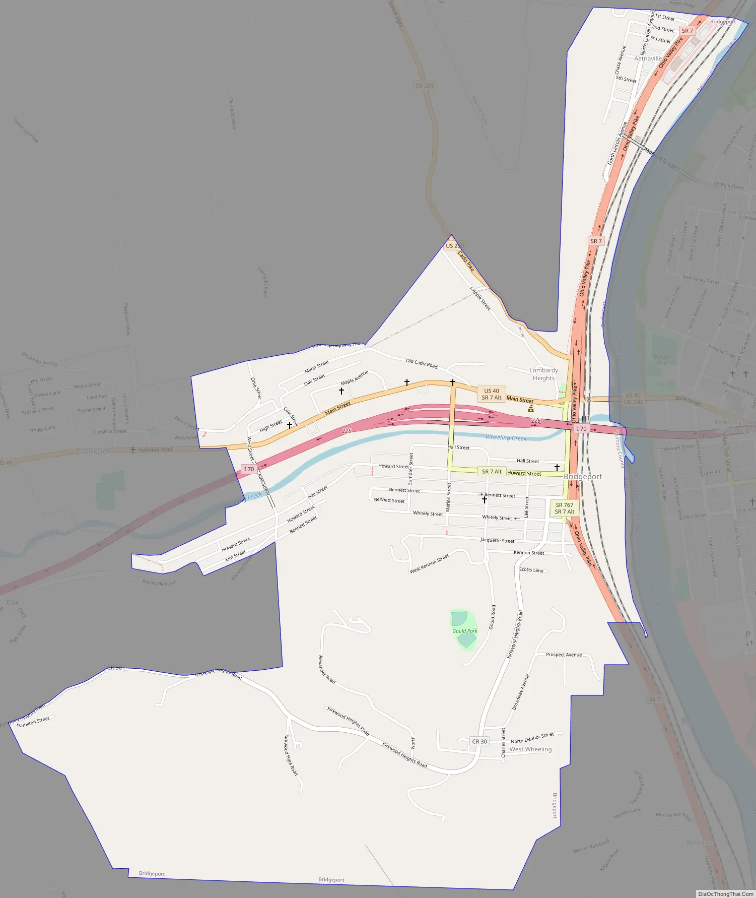
Bridgeport Road Map
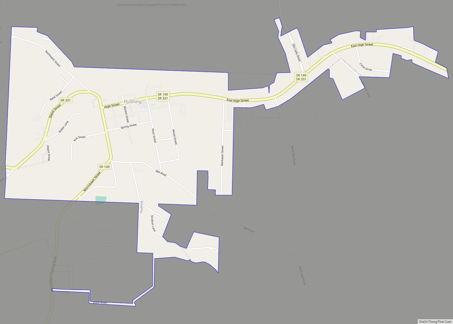
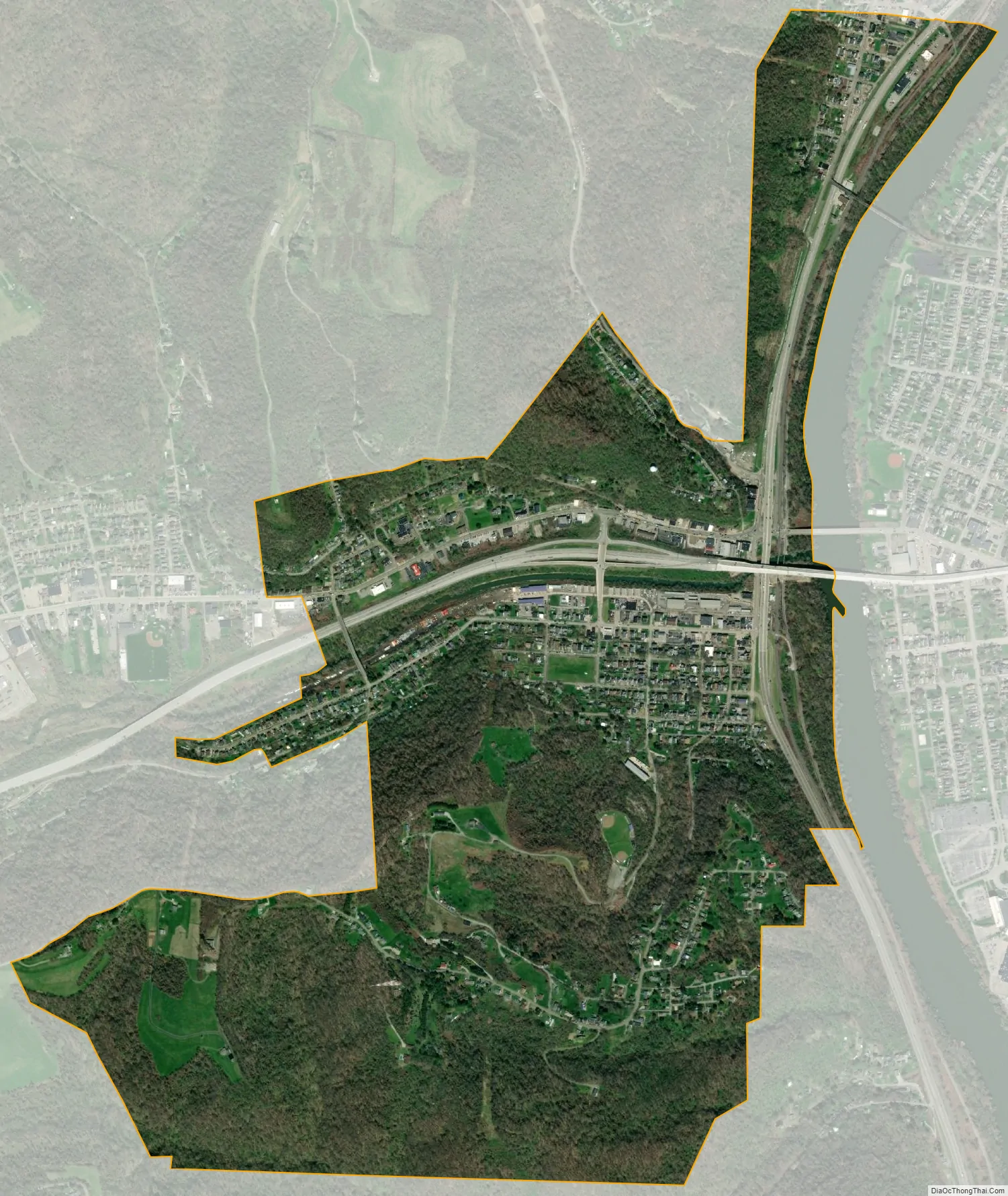
Bridgeport city Satellite Map
Geography
Bridgeport is located at 40°4′20″N 80°44′37″W / 40.07222°N 80.74361°W / 40.07222; -80.74361 (40.072092, −80.743542), along the Ohio River at the mouth of Wheeling Creek. There are two crossings into West Virginia, the Military Order of the Purple Heart Bridge and a portion of the Fort Henry Bridge. Formerly, the Aetnaville Bridge and Bridgeport Bridge made the crossing to Wheeling Island, but the former has been closed to traffic and the latter has been demolished.
According to the United States Census Bureau, the village has a total area of 1.38 square miles (3.57 km), of which 1.37 square miles (3.55 km) is land and 0.01 square miles (0.03 km) is water.
Climate
See also
Map of Ohio State and its subdivision:- Adams
- Allen
- Ashland
- Ashtabula
- Athens
- Auglaize
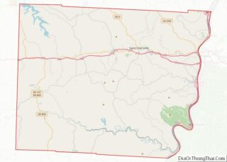
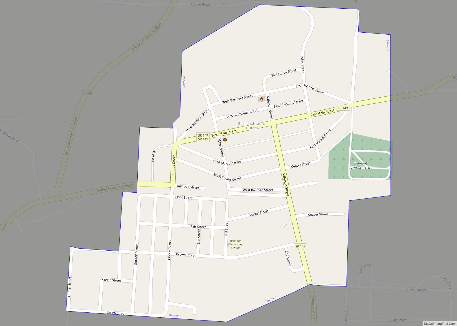
- Belmont
- Brown
- Butler
- Carroll
- Champaign
- Clark
- Clermont
- Clinton
- Columbiana
- Coshocton
- Crawford
- Cuyahoga
- Darke
- Defiance
- Delaware
- Erie
- Fairfield
- Fayette
- Franklin
- Fulton
- Gallia
- Geauga
- Greene
- Guernsey
- Hamilton
- Hancock
- Hardin
- Harrison
- Henry
- Highland
- Hocking
- Holmes
- Huron
- Jackson
- Jefferson
- Knox
- Lake
- Lake Erie
- Lawrence
- Licking
- Logan
- Lorain
- Lucas
- Madison
- Mahoning
- Marion
- Medina
- Meigs
- Mercer
- Miami
- Monroe
- Montgomery
- Morgan
- Morrow
- Muskingum
- Noble
- Ottawa
- Paulding
- Perry
- Pickaway
- Pike
- Portage
- Preble
- Putnam
- Richland
- Ross
- Sandusky
- Scioto
- Seneca
- Shelby
- Stark
- Summit
- Trumbull
- Tuscarawas
- Union
- Van Wert
- Vinton
- Warren
- Washington
- Wayne
- Williams
- Wood
- Wyandot
- Alabama
- Alaska
- Arizona
- Arkansas
- California
- Colorado
- Connecticut
- Delaware
- District of Columbia
- Florida
- Georgia
- Hawaii
- Idaho
- Illinois
- Indiana
- Iowa
- Kansas
- Kentucky
- Louisiana
- Maine
- Maryland
- Massachusetts
- Michigan
- Minnesota
- Mississippi
- Missouri
- Montana
- Nebraska
- Nevada
- New Hampshire
- New Jersey
- New Mexico
- New York
- North Carolina
- North Dakota
- Ohio
- Oklahoma
- Oregon
- Pennsylvania
- Rhode Island
- South Carolina
- South Dakota
- Tennessee
- Texas
- Utah
- Vermont
- Virginia
- Washington
- West Virginia
- Wisconsin
- Wyoming