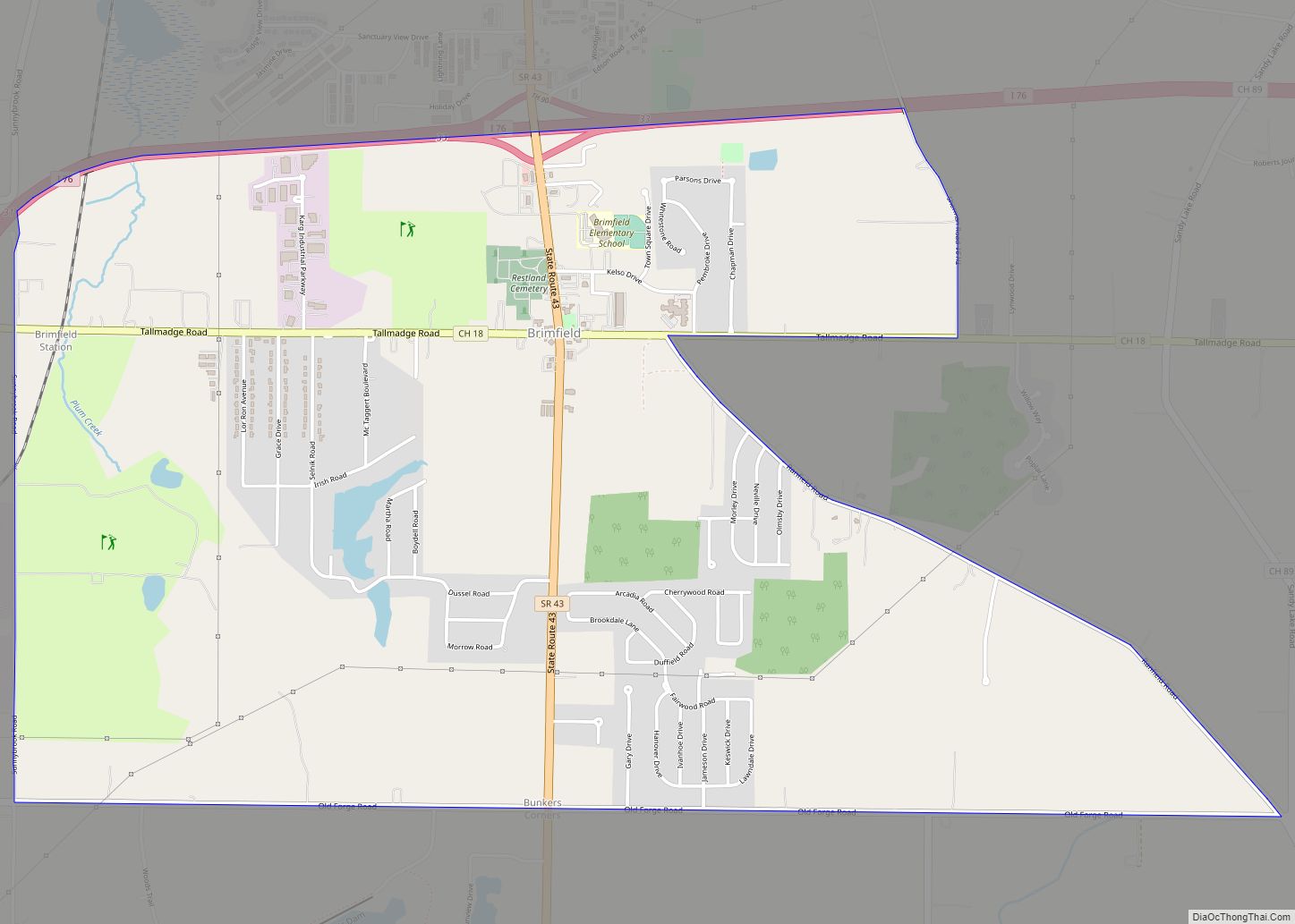
Brimfield is a census-designated place (CDP) in Portage County, Ohio, United States. As of the 2000 census, the CDP had a population of 3,248. It is located in the central part of Brimfield Township (of which it is a part), a rural area between the Ohio cities of Akron and Kent with light industry, strip-malls, subdivisions, and farms.
Brimfield is part of the Akron Metropolitan Statistical Area.
| Name: | Brimfield CDP |
|---|---|
| LSAD Code: | 57 |
| LSAD Description: | CDP (suffix) |
| State: | Ohio |
| County: | Portage County |
| Elevation: | 1,106 ft (337 m) |
| Total Area: | 4.01 sq mi (10.38 km²) |
| Land Area: | 3.97 sq mi (10.29 km²) |
| Water Area: | 0.03 sq mi (0.09 km²) |
| Total Population: | 3,365 |
| Population Density: | 846.97/sq mi (327.04/km²) |
| ZIP code: | 44240 |
| Area code: | 330, 234 |
| FIPS code: | 3908826 |
| GNISfeature ID: | 1064494 |
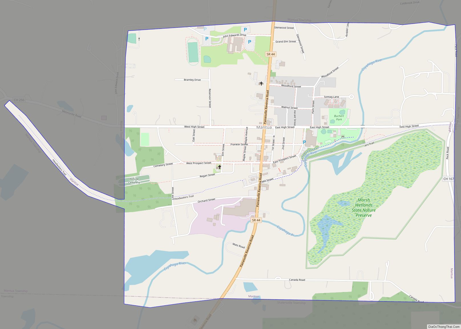
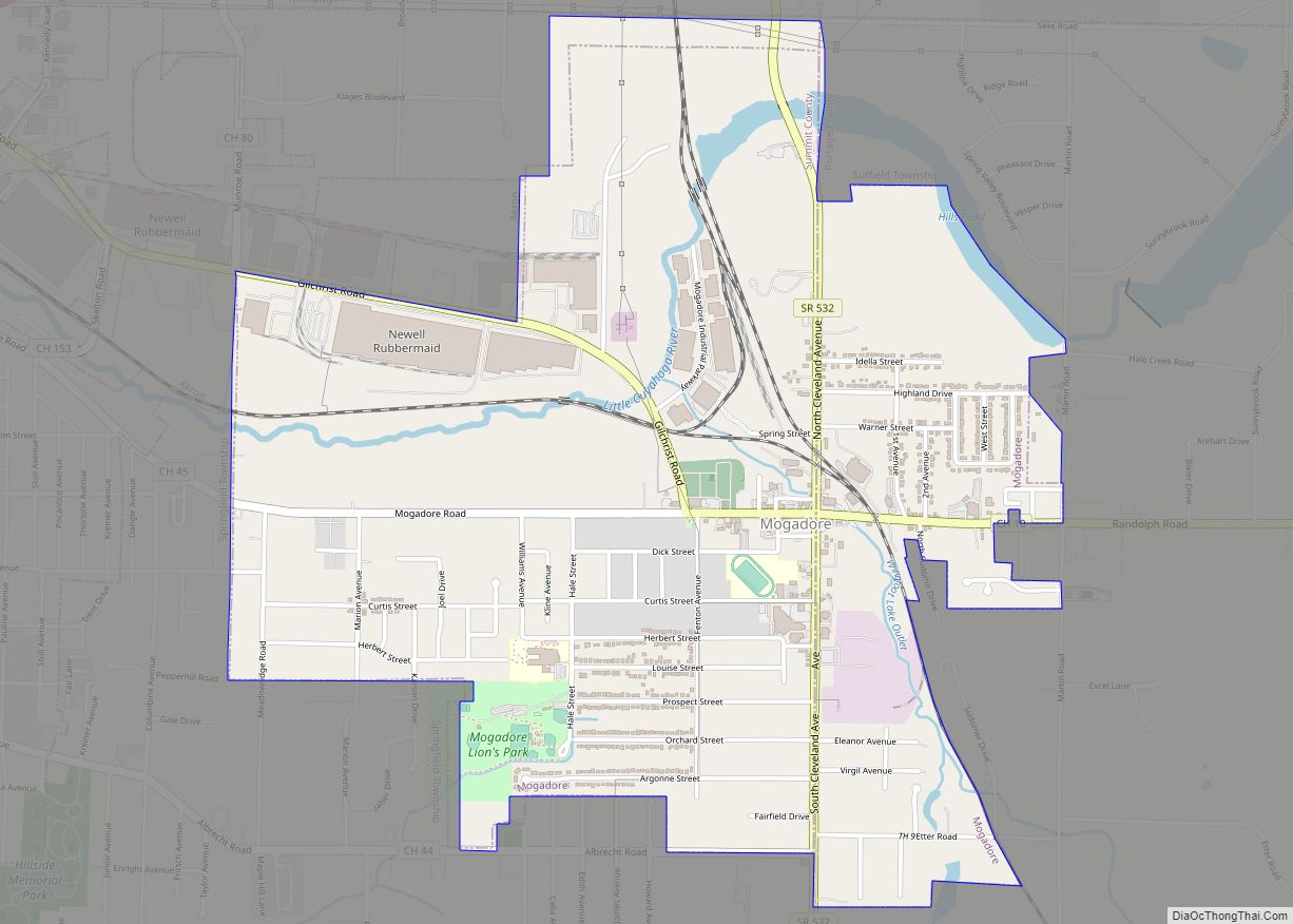
Online Interactive Map
Click on ![]() to view map in "full screen" mode.
to view map in "full screen" mode.
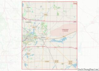
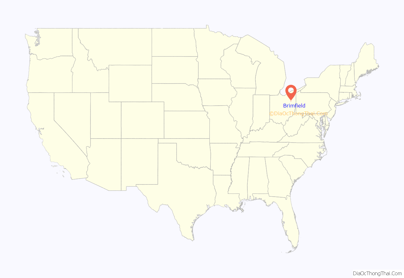
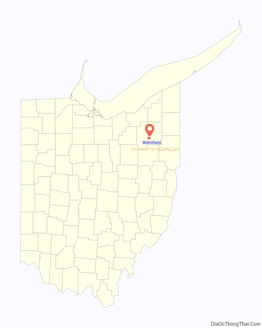
Brimfield location map. Where is Brimfield CDP?
History
Brimfield Township was originally known by several different names, before being named Thorndike from 1818 to 1830. The present name is for Brimfield, Massachusetts, the hometown of John Wyles Jr., one of the early land owners. A post office called Brimfield was established in 1834, and remained in operation until 1907.
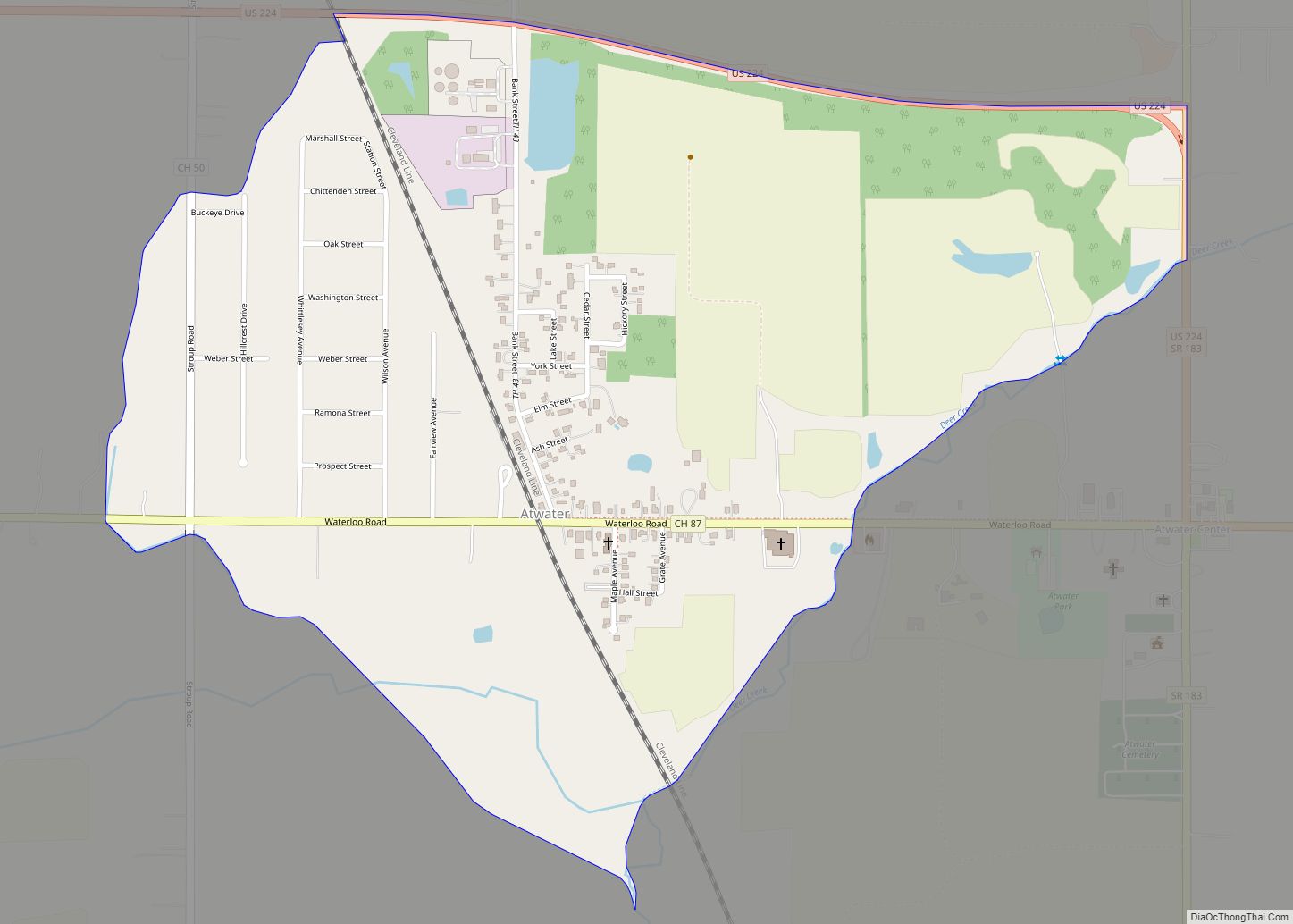
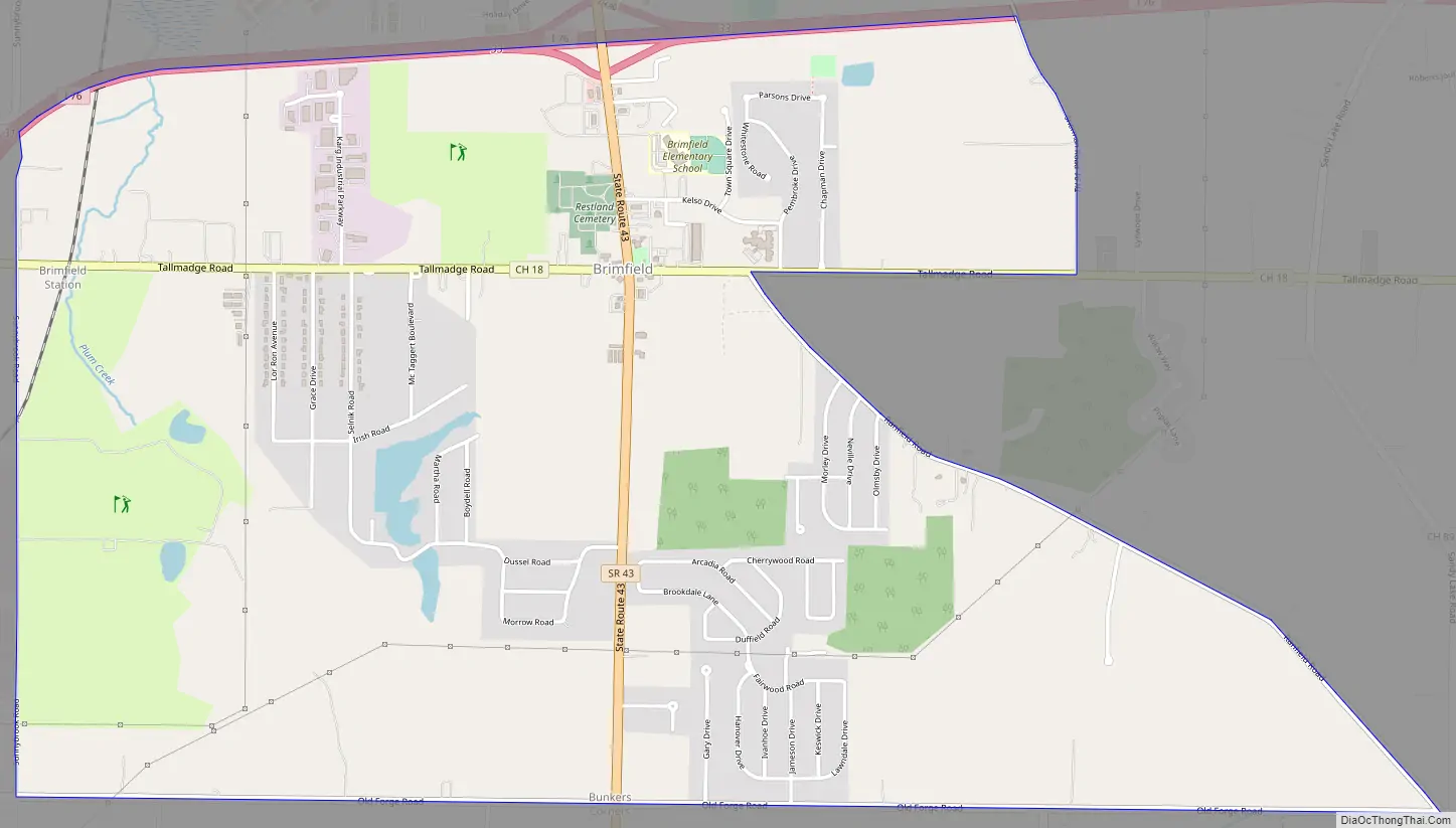
Brimfield Road Map
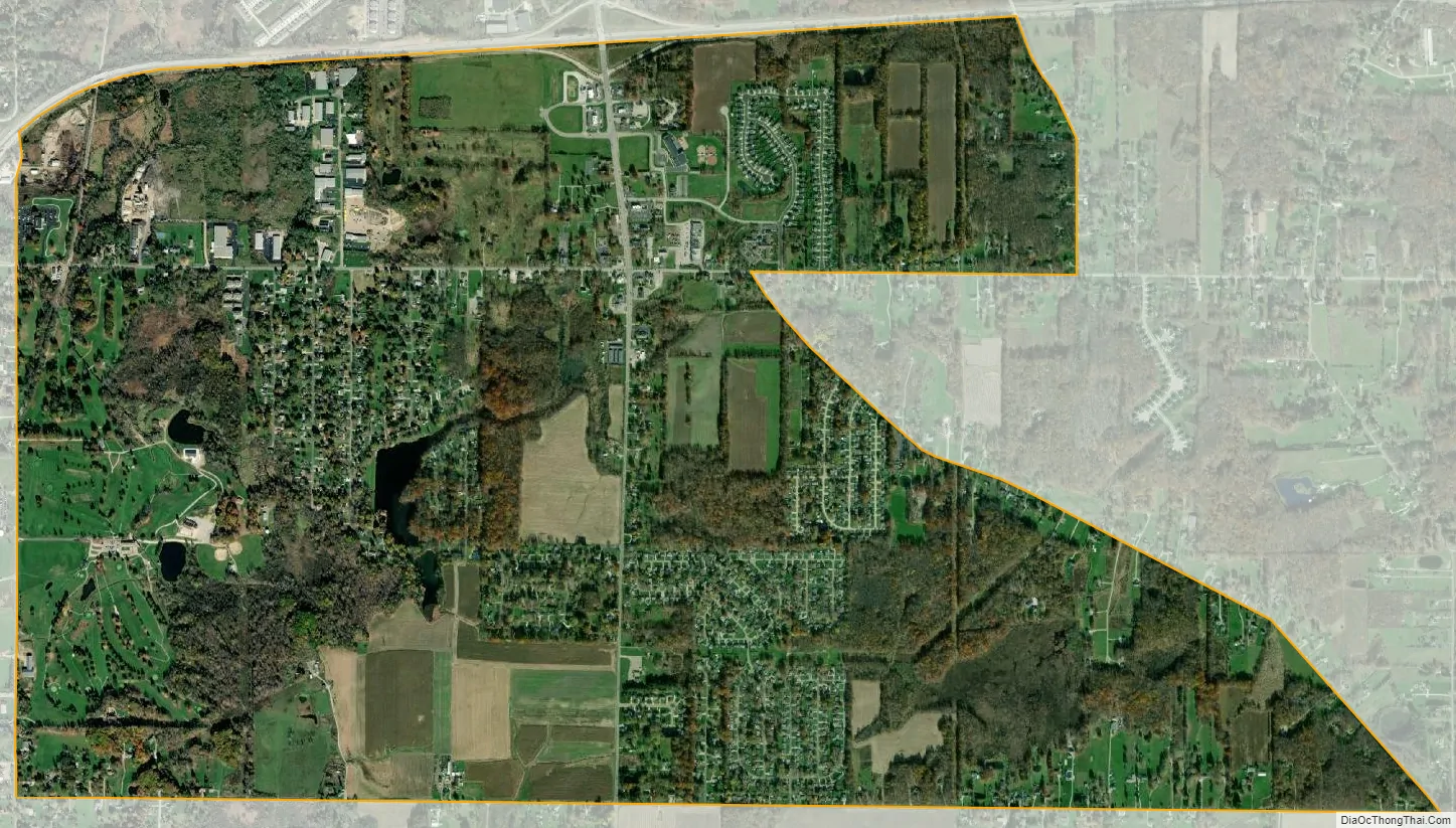
Brimfield city Satellite Map
Geography
According to the United States Census Bureau, the CDP has a total area of 4.0 square miles (10.4 km), of which 4.0 square miles (10.3 km) is land and 0.04 square mile (0.1 km) (0.75%) is water.
See also
Map of Ohio State and its subdivision:- Adams
- Allen
- Ashland
- Ashtabula
- Athens
- Auglaize
- Belmont
- Brown
- Butler
- Carroll
- Champaign
- Clark
- Clermont
- Clinton
- Columbiana
- Coshocton
- Crawford
- Cuyahoga
- Darke
- Defiance
- Delaware
- Erie
- Fairfield
- Fayette
- Franklin
- Fulton
- Gallia
- Geauga
- Greene
- Guernsey
- Hamilton
- Hancock
- Hardin
- Harrison
- Henry
- Highland
- Hocking
- Holmes
- Huron
- Jackson
- Jefferson
- Knox
- Lake
- Lake Erie
- Lawrence
- Licking
- Logan
- Lorain
- Lucas
- Madison
- Mahoning
- Marion
- Medina
- Meigs
- Mercer
- Miami
- Monroe
- Montgomery
- Morgan
- Morrow
- Muskingum
- Noble
- Ottawa
- Paulding
- Perry
- Pickaway
- Pike
- Portage
- Preble
- Putnam
- Richland
- Ross
- Sandusky
- Scioto
- Seneca
- Shelby
- Stark
- Summit
- Trumbull
- Tuscarawas
- Union
- Van Wert
- Vinton
- Warren
- Washington
- Wayne
- Williams
- Wood
- Wyandot
- Alabama
- Alaska
- Arizona
- Arkansas
- California
- Colorado
- Connecticut
- Delaware
- District of Columbia
- Florida
- Georgia
- Hawaii
- Idaho
- Illinois
- Indiana
- Iowa
- Kansas
- Kentucky
- Louisiana
- Maine
- Maryland
- Massachusetts
- Michigan
- Minnesota
- Mississippi
- Missouri
- Montana
- Nebraska
- Nevada
- New Hampshire
- New Jersey
- New Mexico
- New York
- North Carolina
- North Dakota
- Ohio
- Oklahoma
- Oregon
- Pennsylvania
- Rhode Island
- South Carolina
- South Dakota
- Tennessee
- Texas
- Utah
- Vermont
- Virginia
- Washington
- West Virginia
- Wisconsin
- Wyoming