Brook Park is a city in Cuyahoga County, Ohio, United States and a suburb of Cleveland. As of the 2020 Census, the city population was 18,595 .
| Name: | Brook Park city |
|---|---|
| LSAD Code: | 25 |
| LSAD Description: | city (suffix) |
| State: | Ohio |
| County: | Cuyahoga County |
| Elevation: | 797 ft (243 m) |
| Total Area: | 7.52 sq mi (19.47 km²) |
| Land Area: | 7.51 sq mi (19.46 km²) |
| Water Area: | 0.00 sq mi (0.01 km²) |
| Total Population: | 18,595 |
| Population Density: | 2,474.38/sq mi (955.36/km²) |
| ZIP code: | 44142 |
| Area code: | 216 |
| FIPS code: | 3909288 |
| GNISfeature ID: | 1048554 |
| Website: | www.cityofbrookpark.com |
Online Interactive Map
Click on ![]() to view map in "full screen" mode.
to view map in "full screen" mode.
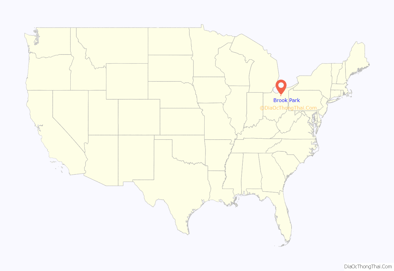
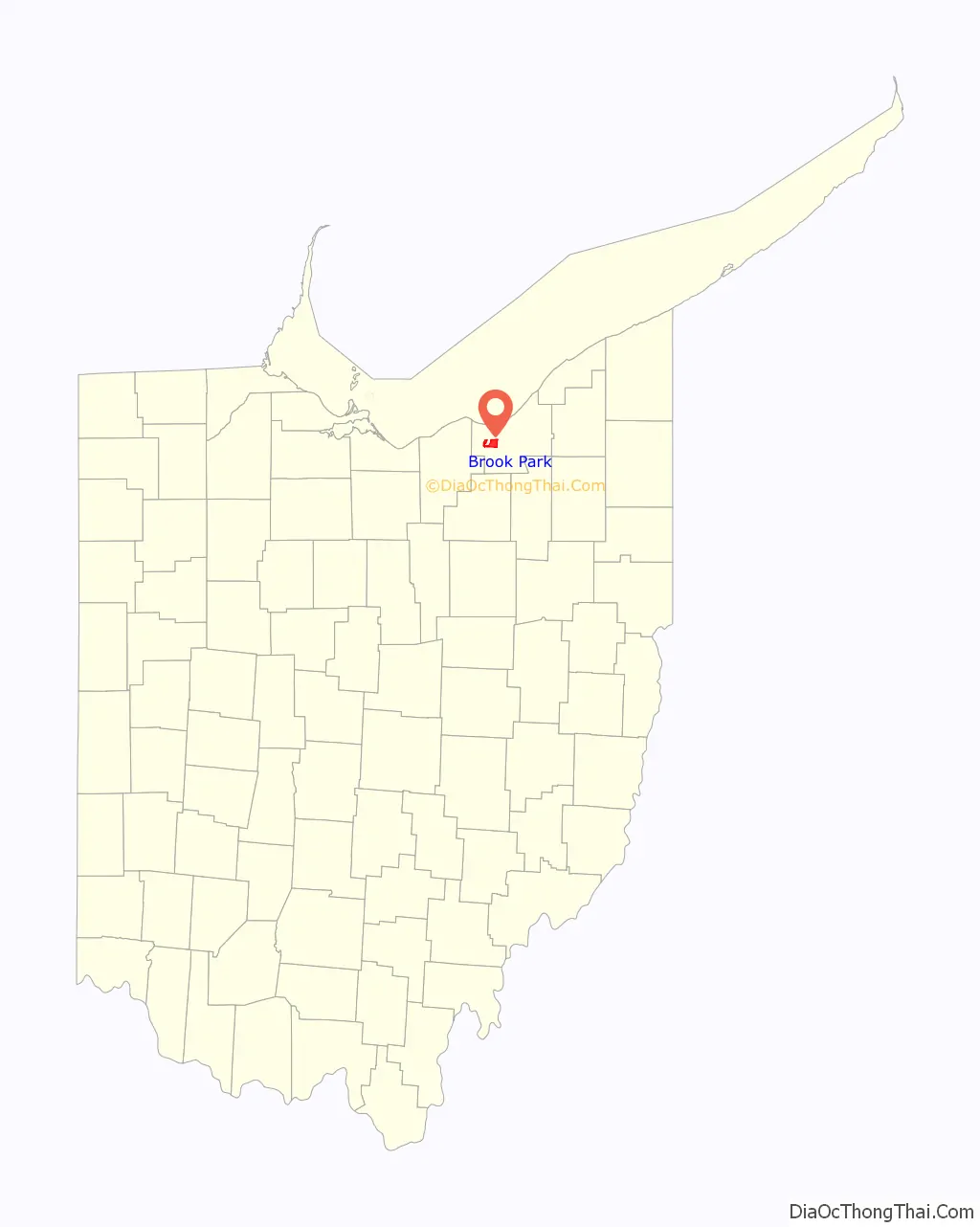
Brook Park location map. Where is Brook Park city?
History
Brook Park became a city in 1960. The city attracted national attention when 21 Marines of the 3rd battalion, 25th Marines Regiment, 4th Marine division headquartered in the city were killed in combat in Iraq on August 1 and August 3, 2005. The unit lost 48 Marines during the course of the deployment. On August 5, the city government printed and distributed American flags for every household in the city to display on their windows. On August 8, thousands of citizens from throughout Northeast Ohio attended a memorial service to show their support for the fallen Marines. National, state and local politicians also voiced their mutual support for the families affected and for the ongoing support needed for all of the service members still involved in their mission overseas.
Thomas J. Coyne Jr. was re-elected mayor on November 5, 2013, after 12 years out of the office, which had been held by Mark J. Elliot. Coyne had been the Mayor of Brook Park from 1981 to 2002. Coyne is most known for the 2001 Cleveland Hopkins International Airport runway extension deal with then Mayor of Cleveland Michael R. White, which ceded Brook Park land including homes and the International Exposition Center (IX Center) to Cleveland in exchange for NASA Glenn Research Center and ten years of tax revenues from the IX Center. Coyne had originally came to Brook Park with his family at the age of nine from Cleveland around the time of the city’s incorporation in 1960. He is an alumnus of St. Edwards in nearby Lakewood.
On November 7, 2017, former Brook Park council president Mike Gammella defeated Coyne in a four-person race. Gammella received 42% of the vote.
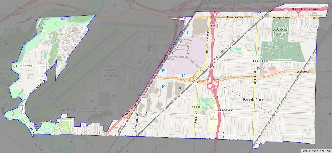
Brook Park Road Map
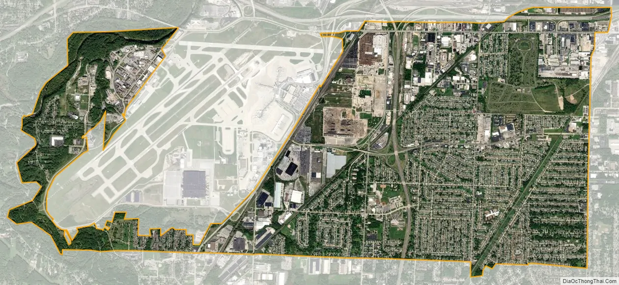
Brook Park city Satellite Map
Geography
Brook Park is located at 41°23′58″N 81°49′6″W / 41.39944°N 81.81833°W / 41.39944; -81.81833 (41.399550, −81.818423).
According to the United States Census Bureau, the city has a total area of 7.53 square miles (19.50 km), all land.
While Brook Park’s official name has always been spelled as two words, it is sometimes mistakenly seen spelled as one word, which is the spelling of nearby Brookpark Road.
See also
Map of Ohio State and its subdivision:- Adams
- Allen
- Ashland
- Ashtabula
- Athens
- Auglaize
- Belmont
- Brown
- Butler
- Carroll
- Champaign
- Clark
- Clermont
- Clinton
- Columbiana
- Coshocton
- Crawford
- Cuyahoga
- Darke
- Defiance
- Delaware
- Erie
- Fairfield
- Fayette
- Franklin
- Fulton
- Gallia
- Geauga
- Greene
- Guernsey
- Hamilton
- Hancock
- Hardin
- Harrison
- Henry
- Highland
- Hocking
- Holmes
- Huron
- Jackson
- Jefferson
- Knox
- Lake
- Lake Erie
- Lawrence
- Licking
- Logan
- Lorain
- Lucas
- Madison
- Mahoning
- Marion
- Medina
- Meigs
- Mercer
- Miami
- Monroe
- Montgomery
- Morgan
- Morrow
- Muskingum
- Noble
- Ottawa
- Paulding
- Perry
- Pickaway
- Pike
- Portage
- Preble
- Putnam
- Richland
- Ross
- Sandusky
- Scioto
- Seneca
- Shelby
- Stark
- Summit
- Trumbull
- Tuscarawas
- Union
- Van Wert
- Vinton
- Warren
- Washington
- Wayne
- Williams
- Wood
- Wyandot
- Alabama
- Alaska
- Arizona
- Arkansas
- California
- Colorado
- Connecticut
- Delaware
- District of Columbia
- Florida
- Georgia
- Hawaii
- Idaho
- Illinois
- Indiana
- Iowa
- Kansas
- Kentucky
- Louisiana
- Maine
- Maryland
- Massachusetts
- Michigan
- Minnesota
- Mississippi
- Missouri
- Montana
- Nebraska
- Nevada
- New Hampshire
- New Jersey
- New Mexico
- New York
- North Carolina
- North Dakota
- Ohio
- Oklahoma
- Oregon
- Pennsylvania
- Rhode Island
- South Carolina
- South Dakota
- Tennessee
- Texas
- Utah
- Vermont
- Virginia
- Washington
- West Virginia
- Wisconsin
- Wyoming


