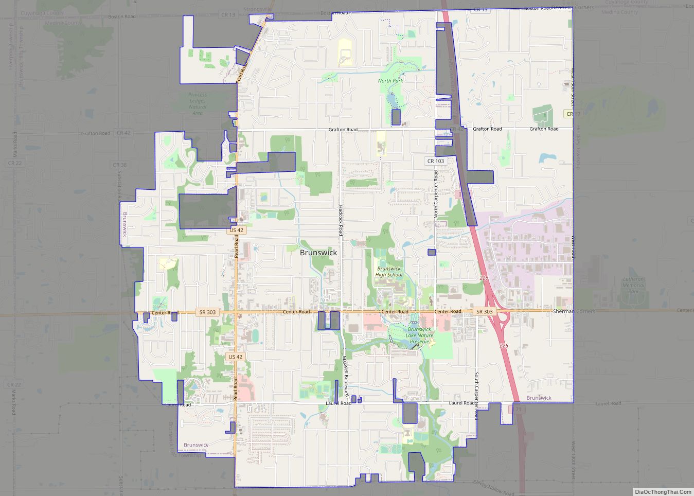
Brunswick (/ˈbrʌnzwɪk/ BRUN-zwik or /ˈbrʌnswɪk/ BRUN-swik) is the largest city in Medina County, Ohio, United States approximately 20 mi (32 km) SW of Cleveland. The population was 34,255 at the 2010 census and estimated at 34,880 as of 2019. It is part of the Cleveland Metropolitan Area.
| Name: | Brunswick city |
|---|---|
| LSAD Code: | 25 |
| LSAD Description: | city (suffix) |
| State: | Ohio |
| County: | Medina County |
| Founded: | January 1, 1815; 208 years ago (1815-01-01) (unincorporated place) |
| Incorporated: | February 1, 1960; 63 years ago (1960-02-01) (village) |
| Elevation: | 1,171 ft (357 m) |
| Total Area: | 13.03 sq mi (33.74 km²) |
| Land Area: | 12.99 sq mi (33.65 km²) |
| Water Area: | 0.04 sq mi (0.10 km²) |
| Population Density: | 2,726.96/sq mi (1,052.93/km²) |
| ZIP code: | 44212 |
| Area code: | 216, 330 |
| FIPS code: | 3909680 |
| GNISfeature ID: | 1056733 |
| Website: | https://www.brunswick.oh.us/ |
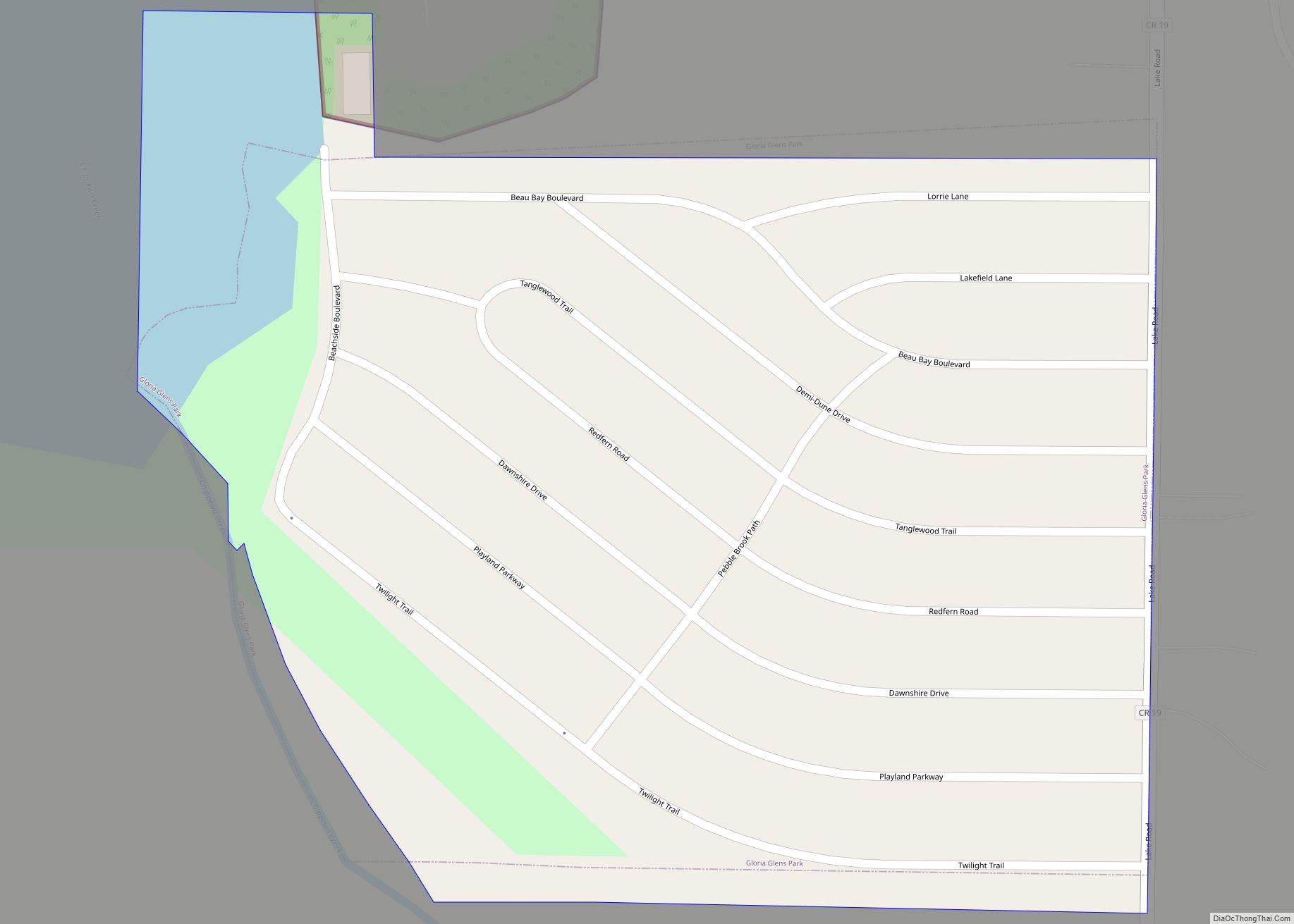
Online Interactive Map
Click on ![]() to view map in "full screen" mode.
to view map in "full screen" mode.
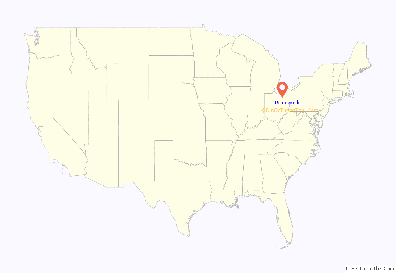
Brunswick location map. Where is Brunswick city?
History
The unincorporated place called Brunswick was founded on January 1, 1815, and was named randomly in a naming contest. What would become the city of Brunswick was founded on January 1, 1960. It was incorporated as a village on February 1, 1960, and was incorporated as a city on October 2, 1960.
On June 23, 2014 a tornado hit Brunswick, and the tornado was rated a high-end EF1 or EF2.
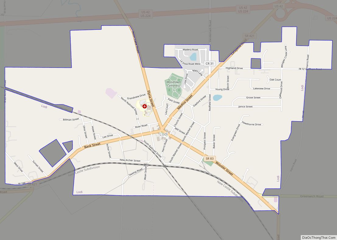
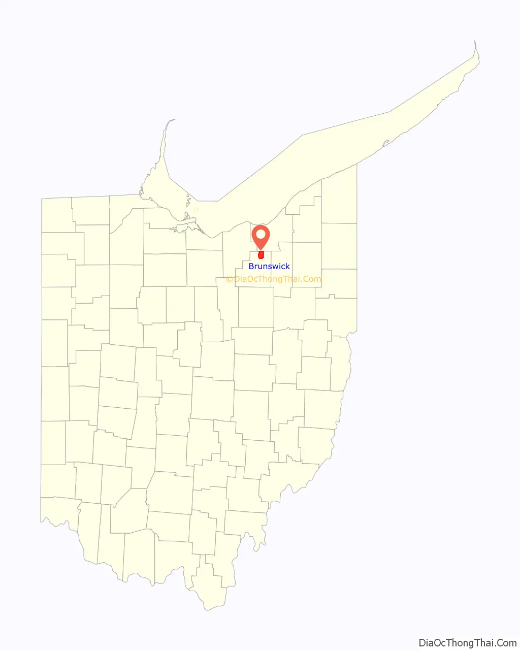
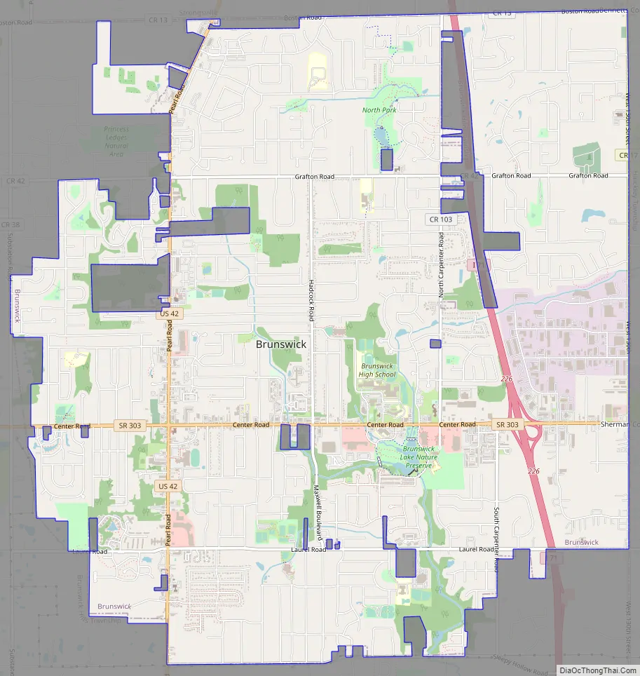
Brunswick Road Map
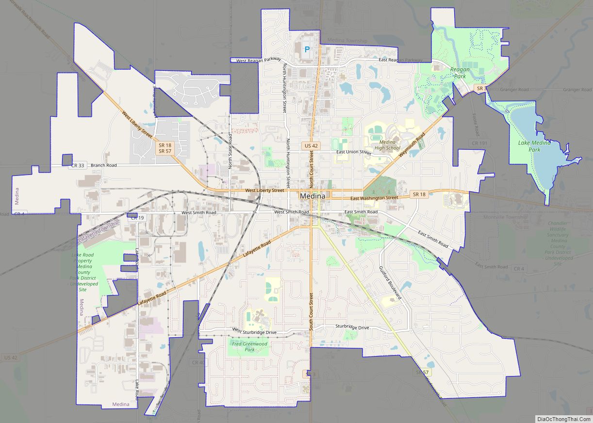
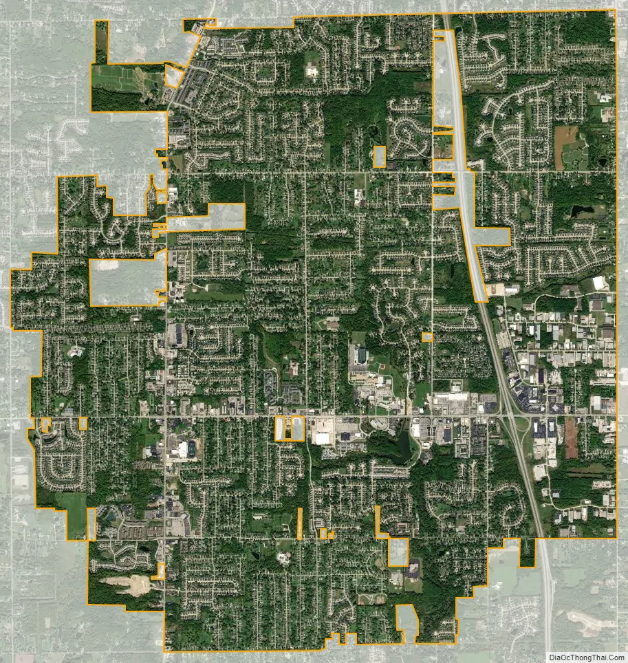
Brunswick city Satellite Map
Geography
Brunswick is located at 41°14′39″N 81°49′42″W / 41.24417°N 81.82833°W / 41.24417; -81.82833 (41.244051, -81.828360).
According to the United States Census Bureau, the city has a total area of 12.96 square miles (33.57 km), of which 12.92 square miles (33.46 km) is land and 0.04 square miles (0.10 km) is water.
See also
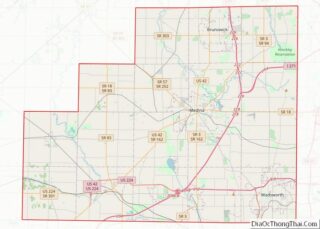
Map of Ohio State and its subdivision:- Adams
- Allen
- Ashland
- Ashtabula
- Athens
- Auglaize
- Belmont
- Brown
- Butler
- Carroll
- Champaign
- Clark
- Clermont
- Clinton
- Columbiana
- Coshocton
- Crawford
- Cuyahoga
- Darke
- Defiance
- Delaware
- Erie
- Fairfield
- Fayette
- Franklin
- Fulton
- Gallia
- Geauga
- Greene
- Guernsey
- Hamilton
- Hancock
- Hardin
- Harrison
- Henry
- Highland
- Hocking
- Holmes
- Huron
- Jackson
- Jefferson
- Knox
- Lake
- Lake Erie
- Lawrence
- Licking
- Logan
- Lorain
- Lucas
- Madison
- Mahoning
- Marion
- Medina
- Meigs
- Mercer
- Miami
- Monroe
- Montgomery
- Morgan
- Morrow
- Muskingum
- Noble
- Ottawa
- Paulding
- Perry
- Pickaway
- Pike
- Portage
- Preble
- Putnam
- Richland
- Ross
- Sandusky
- Scioto
- Seneca
- Shelby
- Stark
- Summit
- Trumbull
- Tuscarawas
- Union
- Van Wert
- Vinton
- Warren
- Washington
- Wayne
- Williams
- Wood
- Wyandot
- Alabama
- Alaska
- Arizona
- Arkansas
- California
- Colorado
- Connecticut
- Delaware
- District of Columbia
- Florida
- Georgia
- Hawaii
- Idaho
- Illinois
- Indiana
- Iowa
- Kansas
- Kentucky
- Louisiana
- Maine
- Maryland
- Massachusetts
- Michigan
- Minnesota
- Mississippi
- Missouri
- Montana
- Nebraska
- Nevada
- New Hampshire
- New Jersey
- New Mexico
- New York
- North Carolina
- North Dakota
- Ohio
- Oklahoma
- Oregon
- Pennsylvania
- Rhode Island
- South Carolina
- South Dakota
- Tennessee
- Texas
- Utah
- Vermont
- Virginia
- Washington
- West Virginia
- Wisconsin
- Wyoming