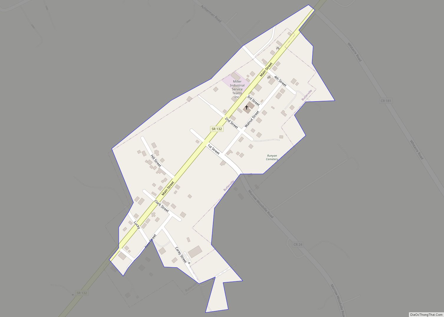
Butlerville is a village in central Harlan Township, Warren County, Ohio, United States, located in the southwestern part of the state. The population was 155 at the 2020 census.
The village is in the Little Miami Local School District. Telephone service is provided through the Butlerville exchange and mail is delivered through the Pleasant Plain post office.
| Name: | Butlerville village |
|---|---|
| LSAD Code: | 47 |
| LSAD Description: | village (suffix) |
| State: | Ohio |
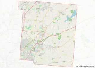
| County: | Warren County |
| Elevation: | 863 ft (263 m) |
| Total Area: | 0.11 sq mi (0.28 km²) |
| Land Area: | 0.11 sq mi (0.28 km²) |
| Water Area: | 0.00 sq mi (0.00 km²) |
| Total Population: | 155 |
| Population Density: | 1,422.02/sq mi (548.23/km²) |
| ZIP code: | 45162 |
| Area code: | 513 |
| FIPS code: | 3910674 |
| GNISfeature ID: | 1056745 |
Online Interactive Map
Click on ![]() to view map in "full screen" mode.
to view map in "full screen" mode.
Butlerville location map. Where is Butlerville village?


History
Butlerville was platted in 1838 when a new turnpike was extended to that point. The village was named for its founder, Abram B. Butler. Butlerville incorporated as a village in 1851. A post office was established at Butlerville in 1833, and remained in operation until 1905.
Butlerville Road Map

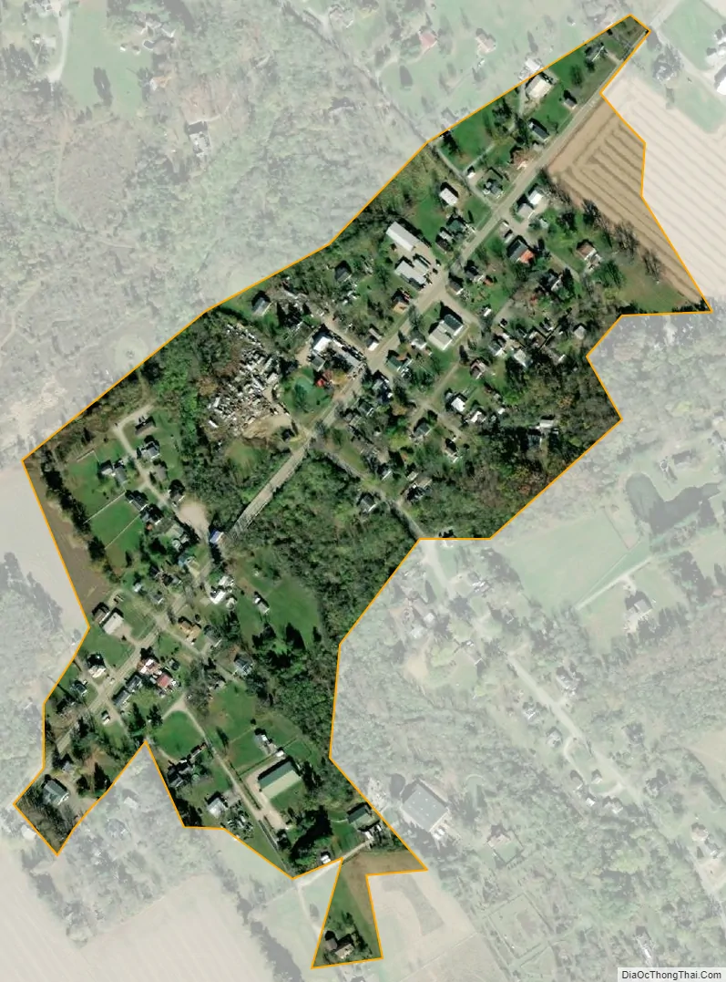
Butlerville city Satellite Map
Geography
Butlerville is located at 39°18′10″N 84°5′20″W / 39.30278°N 84.08889°W / 39.30278; -84.08889 (39.302758, -84.088919).
According to the United States Census Bureau, the village has a total area of 0.11 square miles (0.28 km), all land.
See also
Map of Ohio State and its subdivision:- Adams
- Allen
- Ashland
- Ashtabula
- Athens
- Auglaize
- Belmont
- Brown
- Butler
- Carroll
- Champaign
- Clark
- Clermont
- Clinton
- Columbiana
- Coshocton
- Crawford
- Cuyahoga
- Darke
- Defiance
- Delaware
- Erie
- Fairfield
- Fayette
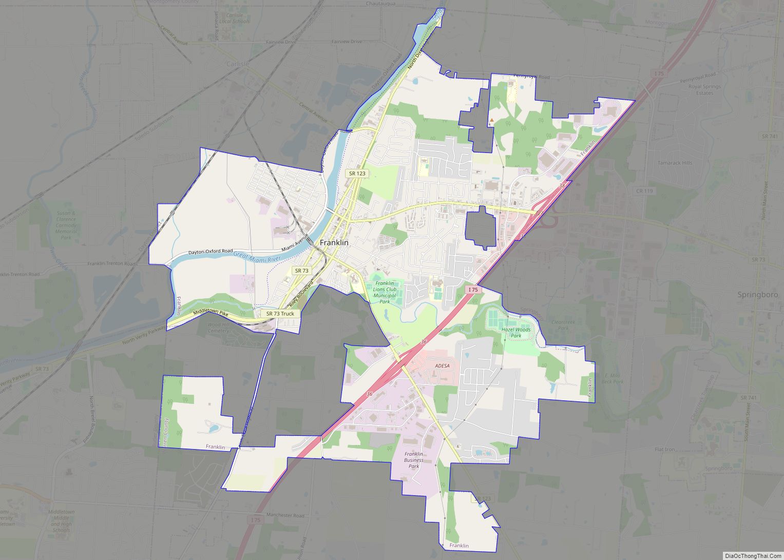
- Franklin
- Fulton
- Gallia
- Geauga
- Greene
- Guernsey
- Hamilton
- Hancock
- Hardin
- Harrison
- Henry
- Highland
- Hocking
- Holmes
- Huron
- Jackson
- Jefferson
- Knox
- Lake
- Lake Erie
- Lawrence
- Licking
- Logan
- Lorain
- Lucas
- Madison
- Mahoning
- Marion
- Medina
- Meigs
- Mercer
- Miami
- Monroe
- Montgomery
- Morgan
- Morrow
- Muskingum
- Noble
- Ottawa
- Paulding
- Perry
- Pickaway
- Pike
- Portage
- Preble
- Putnam
- Richland
- Ross
- Sandusky
- Scioto
- Seneca
- Shelby
- Stark
- Summit
- Trumbull
- Tuscarawas
- Union
- Van Wert
- Vinton
- Warren
- Washington
- Wayne
- Williams
- Wood
- Wyandot
- Alabama
- Alaska
- Arizona
- Arkansas
- California
- Colorado
- Connecticut
- Delaware
- District of Columbia
- Florida
- Georgia
- Hawaii
- Idaho
- Illinois
- Indiana
- Iowa
- Kansas
- Kentucky
- Louisiana
- Maine
- Maryland
- Massachusetts
- Michigan
- Minnesota
- Mississippi
- Missouri
- Montana
- Nebraska
- Nevada
- New Hampshire
- New Jersey
- New Mexico
- New York
- North Carolina
- North Dakota
- Ohio
- Oklahoma
- Oregon
- Pennsylvania
- Rhode Island
- South Carolina
- South Dakota
- Tennessee
- Texas
- Utah
- Vermont
- Virginia
- Washington
- West Virginia
- Wisconsin
- Wyoming