Canal Winchester is a city in Fairfield and Franklin counties in the U.S. state of Ohio. The city is one of the suburbs that make up the Columbus metropolitan area. The population was 9,107 at the 2020 census.
| Name: | Canal Winchester city |
|---|---|
| LSAD Code: | 25 |
| LSAD Description: | city (suffix) |
| State: | Ohio |
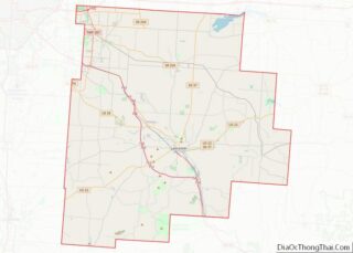
| County: | Fairfield County, Franklin County |
| Elevation: | 764 ft (233 m) |
| Total Area: | 7.98 sq mi (20.68 km²) |
| Land Area: | 7.85 sq mi (20.33 km²) |
| Water Area: | 0.14 sq mi (0.36 km²) |
| Total Population: | 9,107 |
| Population Density: | 1,160.42/sq mi (448.06/km²) |
| ZIP code: | 43110 |
| Area code: | 614 and 380 |
| FIPS code: | 3911332 |
| GNISfeature ID: | 1048579 |
Online Interactive Map
Click on ![]() to view map in "full screen" mode.
to view map in "full screen" mode.
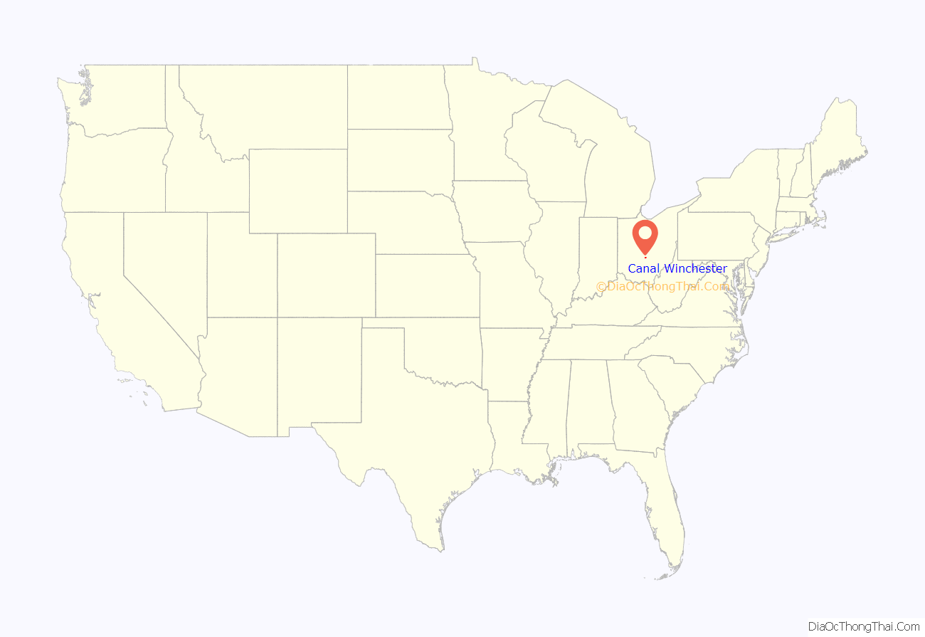
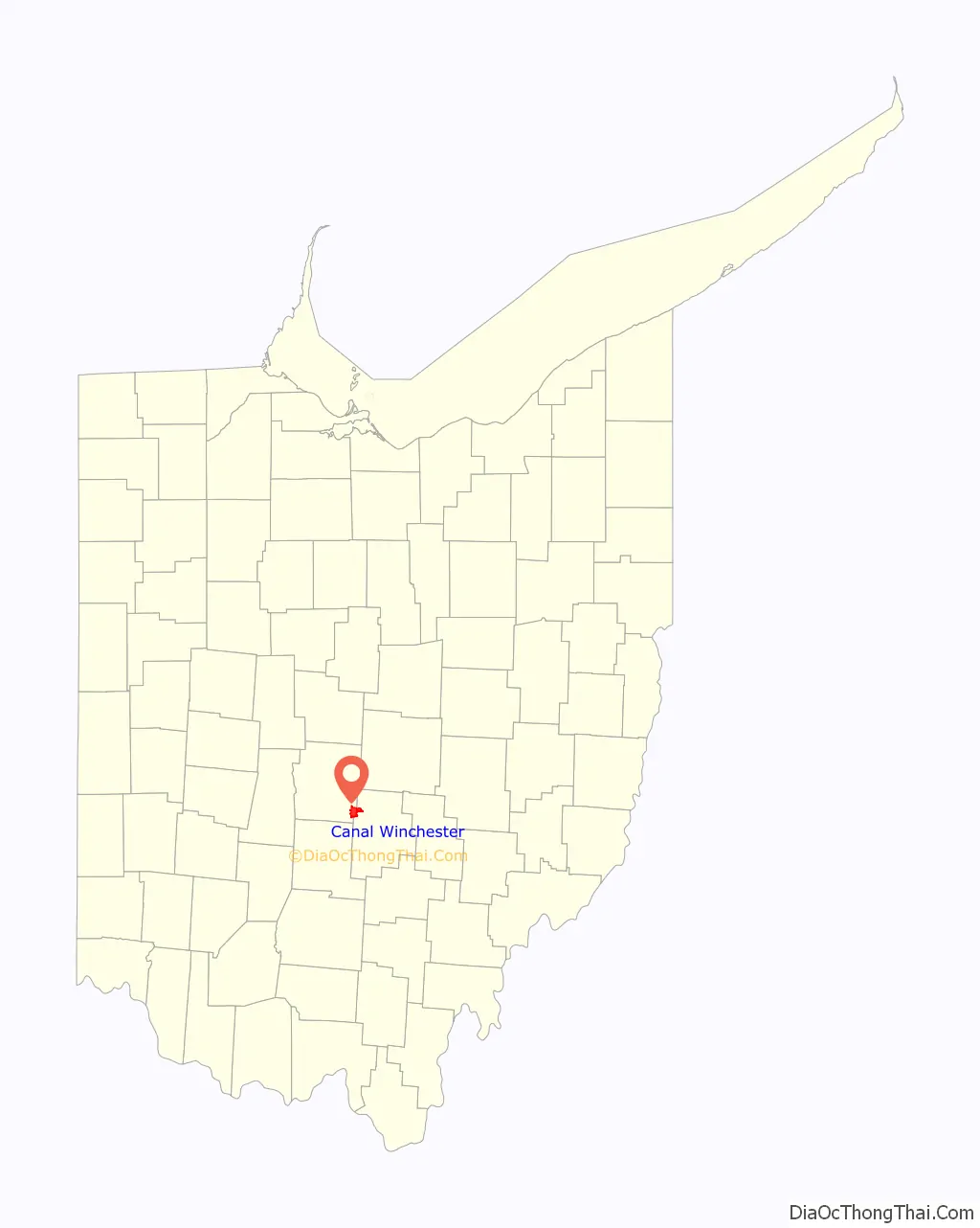
Canal Winchester location map. Where is Canal Winchester city?
History
Canal Winchester was founded in 1828 by Reuben Dove and John Colman. When construction of the Ohio & Erie Canal came through Dove’s wheat field, he wanted to sue the state. The canal workmen instead convinced him that he would be better off laying out a town, because the area was midway between Columbus and Lancaster. On November 4, 1828, Dove and Colman recorded the first plat for Winchester, Ohio, in Violet Township, Fairfield County. Dove named the village after his father’s hometown of Winchester, Virginia.
Winchester flourished because of agriculture and transportation. The Ohio and Erie Canal brought passengers, freight and a means to transport grain to market. The first canal boat floated through Winchester in 1831. The village was named Canal Winchester when the post office was established in 1841, because there were five other locations in the state named Winchester.
A local legend explains how Canal Winchester received its post office. On Halloween, October 31, 1841, two teenage boys, as a prank, hooked two horses up to the foundation of the post office of the town of Waterloo and then pulled it across the street to Winchester. With this, the town of Waterloo was no more and Winchester was a legitimate village. The village was annexed to Madison Township, Franklin County, in 1851.
In May 1866, the Ohio Secretary of State granted incorporation papers for the Village of Canal Winchester.
In 1869, the railroad came to Canal Winchester, bringing continued prosperity.
Canal Winchester Road Map
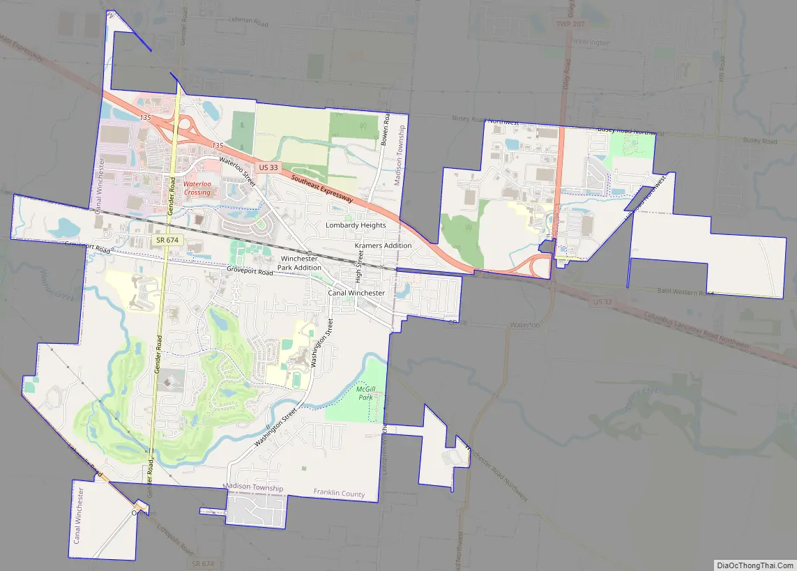
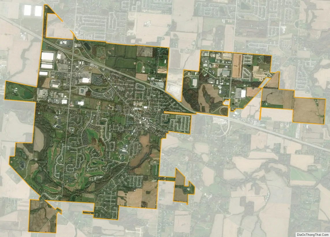
Canal Winchester city Satellite Map
Geography
Canal Winchester is located at 39°50′46″N 82°48′42″W / 39.84611°N 82.81167°W / 39.84611; -82.81167 (39.845977, -82.811675).
According to the United States Census Bureau, the village has a total area of 7.61 square miles (19.71 km), of which 7.47 square miles (19.35 km) is land and 0.14 square miles (0.36 km) is water.
See also
Map of Ohio State and its subdivision:- Adams
- Allen
- Ashland
- Ashtabula
- Athens
- Auglaize
- Belmont
- Brown
- Butler
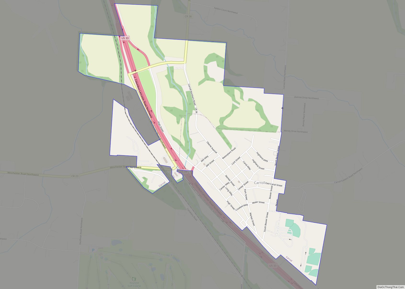
- Carroll
- Champaign
- Clark
- Clermont
- Clinton
- Columbiana
- Coshocton
- Crawford
- Cuyahoga
- Darke
- Defiance
- Delaware
- Erie
- Fairfield
- Fayette
- Franklin
- Fulton
- Gallia
- Geauga
- Greene
- Guernsey
- Hamilton
- Hancock
- Hardin
- Harrison
- Henry
- Highland
- Hocking
- Holmes
- Huron
- Jackson
- Jefferson
- Knox
- Lake
- Lake Erie
- Lawrence
- Licking
- Logan
- Lorain
- Lucas
- Madison
- Mahoning
- Marion
- Medina
- Meigs
- Mercer
- Miami
- Monroe
- Montgomery
- Morgan
- Morrow
- Muskingum
- Noble
- Ottawa
- Paulding
- Perry
- Pickaway
- Pike
- Portage
- Preble
- Putnam
- Richland
- Ross
- Sandusky
- Scioto
- Seneca
- Shelby
- Stark
- Summit
- Trumbull
- Tuscarawas
- Union
- Van Wert
- Vinton
- Warren
- Washington
- Wayne
- Williams
- Wood
- Wyandot
- Alabama
- Alaska
- Arizona
- Arkansas
- California
- Colorado
- Connecticut
- Delaware
- District of Columbia
- Florida
- Georgia
- Hawaii
- Idaho
- Illinois
- Indiana
- Iowa
- Kansas
- Kentucky
- Louisiana
- Maine
- Maryland
- Massachusetts
- Michigan
- Minnesota
- Mississippi
- Missouri
- Montana
- Nebraska
- Nevada
- New Hampshire
- New Jersey
- New Mexico
- New York
- North Carolina
- North Dakota
- Ohio
- Oklahoma
- Oregon
- Pennsylvania
- Rhode Island
- South Carolina
- South Dakota
- Tennessee
- Texas
- Utah
- Vermont
- Virginia
- Washington
- West Virginia
- Wisconsin
- Wyoming