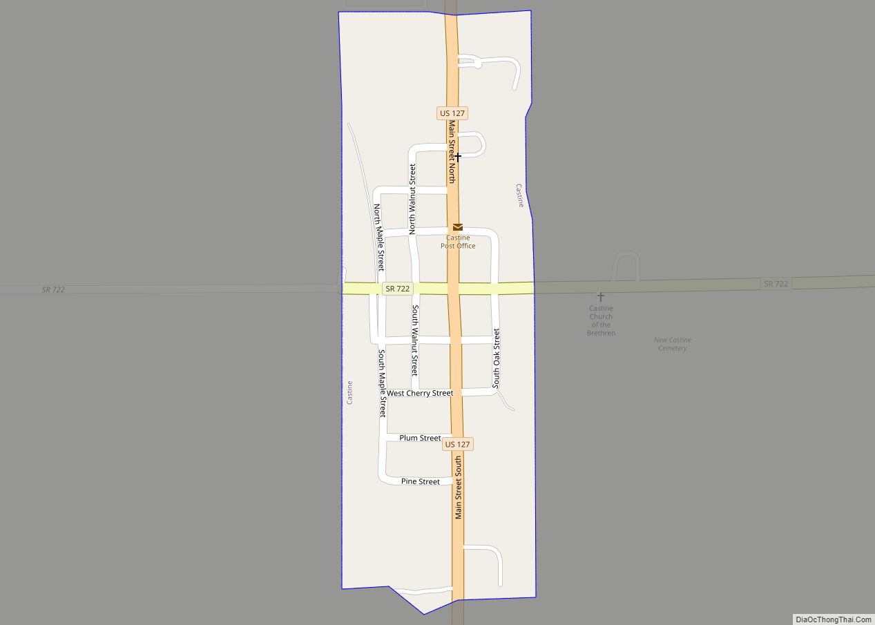
Castine /ˈkæstiːn/ is a village in Darke County, Ohio, United States. The population was 130 at the 2010 census.
| Name: | Castine village |
|---|---|
| LSAD Code: | 47 |
| LSAD Description: | village (suffix) |
| State: | Ohio |
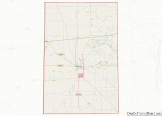
| County: | Darke County |
| Elevation: | 1,076 ft (328 m) |
| Total Area: | 0.08 sq mi (0.20 km²) |
| Land Area: | 0.08 sq mi (0.20 km²) |
| Water Area: | 0.00 sq mi (0.00 km²) |
| Total Population: | 110 |
| Population Density: | 1,447.37/sq mi (560.28/km²) |
| ZIP code: | 45304 |
| Area code: | 937, 326 |
| FIPS code: | 3912504 |
| GNISfeature ID: | 1056774 |
Online Interactive Map
Click on ![]() to view map in "full screen" mode.
to view map in "full screen" mode.
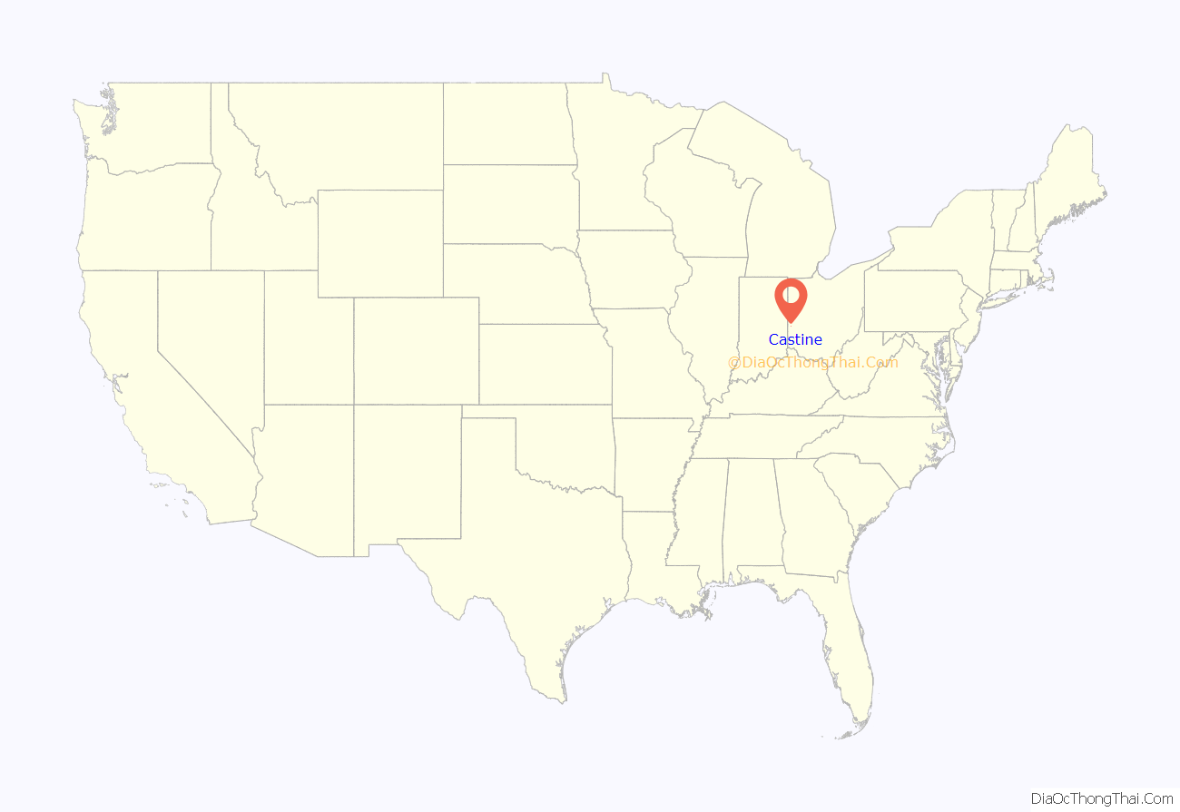
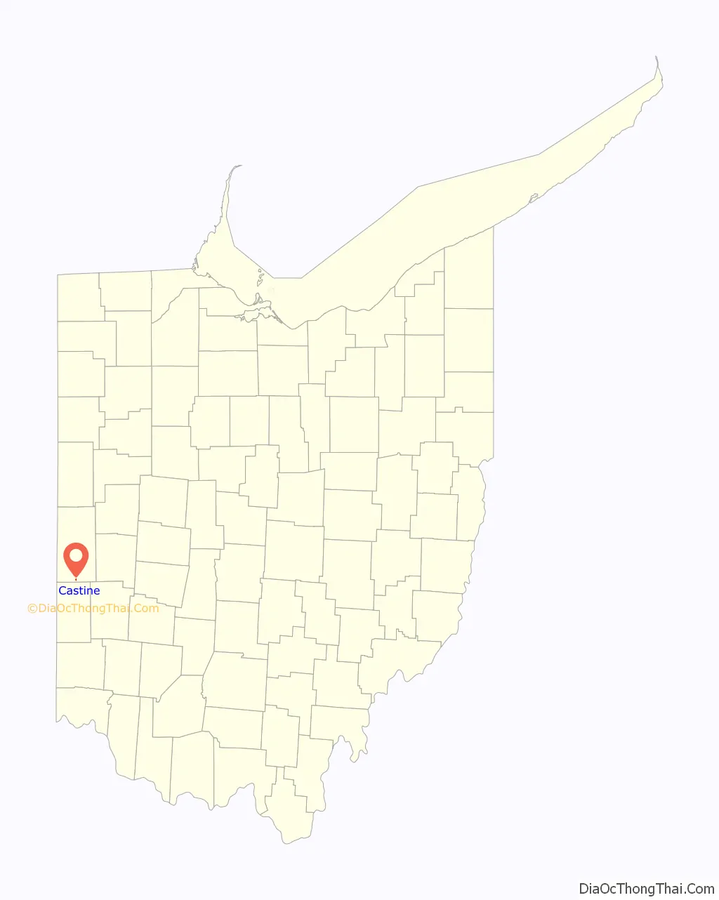
Castine location map. Where is Castine village?
History
Castine was platted in 1832 and replatted in the following year. Its location was chosen because it lay at the intersection of the road between Greenville and Eaton with the road between the communities of Miami County, Ohio and New Garden, Indiana. For its first few decades, the village (then known as “New Castine”) grew and prospered, but the building of the Little Miami Railroad through West Manchester, 2 miles (3.2 km) to the south, retarded Castine’s progress. Revival came with the construction of the Cincinnati Northern Railroad in 1894.
Castine Road Map
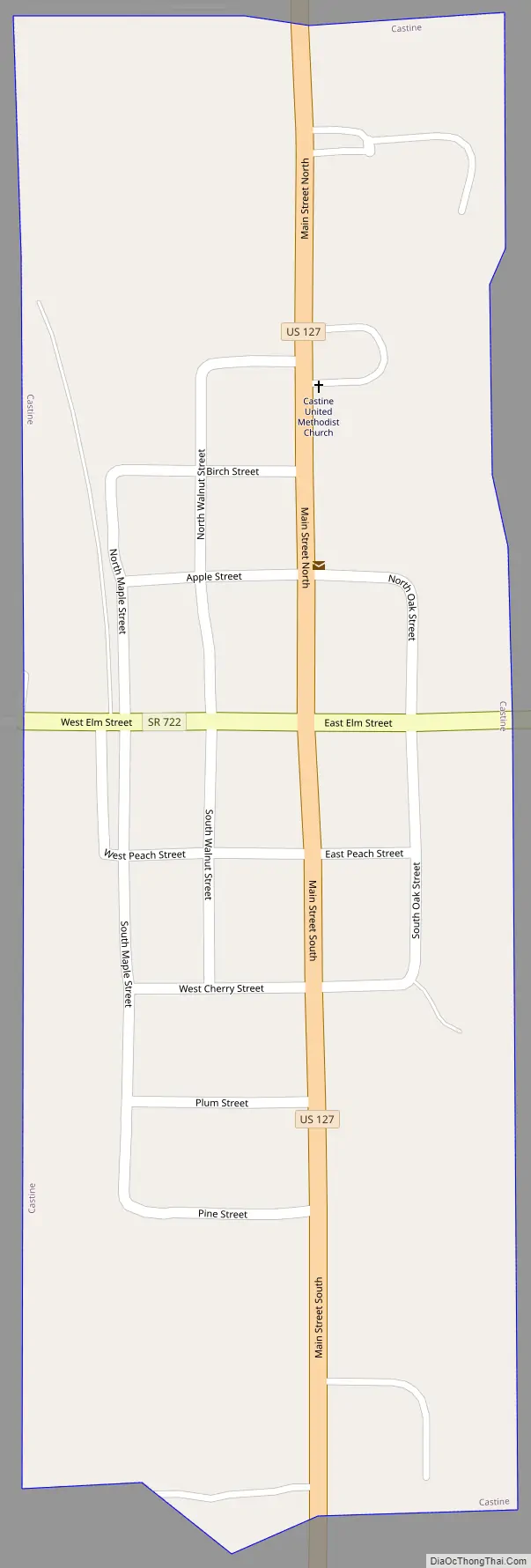
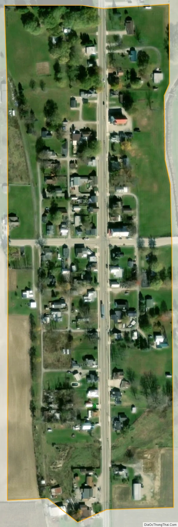
Castine city Satellite Map
Geography
Castine is located at 39°55′51″N 84°37′29″W / 39.93083°N 84.62472°W / 39.93083; -84.62472 (39.930963, -84.624730).
According to the United States Census Bureau, the village has a total area of 0.08 square miles (0.21 km), all land.
See also
Map of Ohio State and its subdivision:- Adams
- Allen
- Ashland
- Ashtabula
- Athens
- Auglaize
- Belmont
- Brown
- Butler
- Carroll
- Champaign
- Clark
- Clermont
- Clinton
- Columbiana
- Coshocton
- Crawford
- Cuyahoga
- Darke
- Defiance
- Delaware
- Erie
- Fairfield
- Fayette
- Franklin
- Fulton
- Gallia
- Geauga
- Greene
- Guernsey
- Hamilton
- Hancock
- Hardin
- Harrison
- Henry
- Highland
- Hocking
- Holmes
- Huron
- Jackson
- Jefferson
- Knox
- Lake
- Lake Erie
- Lawrence
- Licking
- Logan
- Lorain
- Lucas
- Madison
- Mahoning
- Marion
- Medina
- Meigs
- Mercer
- Miami
- Monroe
- Montgomery
- Morgan
- Morrow
- Muskingum
- Noble
- Ottawa
- Paulding
- Perry
- Pickaway
- Pike
- Portage
- Preble
- Putnam
- Richland
- Ross
- Sandusky
- Scioto
- Seneca
- Shelby
- Stark
- Summit
- Trumbull
- Tuscarawas
- Union
- Van Wert
- Vinton
- Warren
- Washington
- Wayne
- Williams
- Wood
- Wyandot
- Alabama
- Alaska
- Arizona
- Arkansas
- California
- Colorado
- Connecticut
- Delaware
- District of Columbia
- Florida
- Georgia
- Hawaii
- Idaho
- Illinois
- Indiana
- Iowa
- Kansas
- Kentucky
- Louisiana
- Maine
- Maryland
- Massachusetts
- Michigan
- Minnesota
- Mississippi
- Missouri
- Montana
- Nebraska
- Nevada
- New Hampshire
- New Jersey
- New Mexico
- New York
- North Carolina
- North Dakota
- Ohio
- Oklahoma
- Oregon
- Pennsylvania
- Rhode Island
- South Carolina
- South Dakota
- Tennessee
- Texas
- Utah
- Vermont
- Virginia
- Washington
- West Virginia
- Wisconsin
- Wyoming