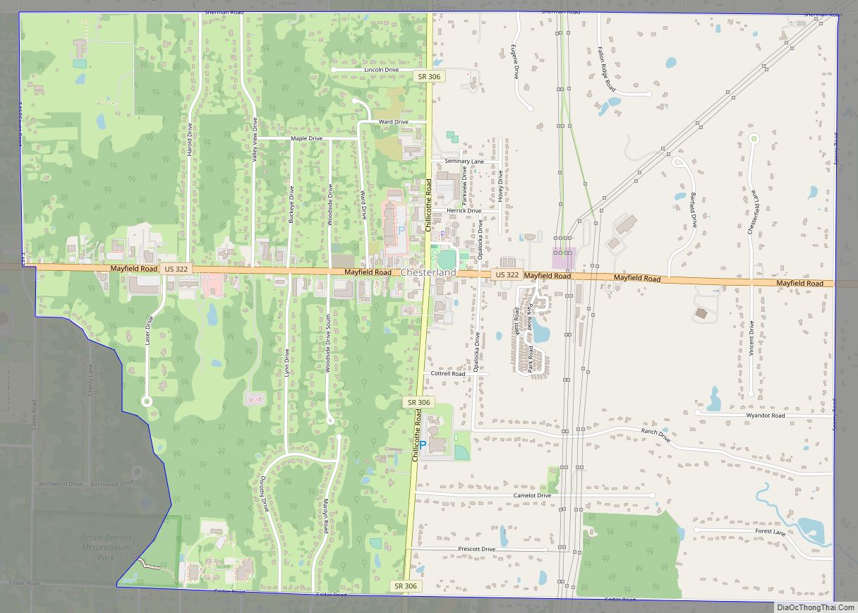
Chesterland is a census-designated place (CDP) in Geauga County, Ohio, United States. As of the 2020 census, the CDP had a population of 7,074.
| Name: | Chesterland CDP |
|---|---|
| LSAD Code: | 57 |
| LSAD Description: | CDP (suffix) |
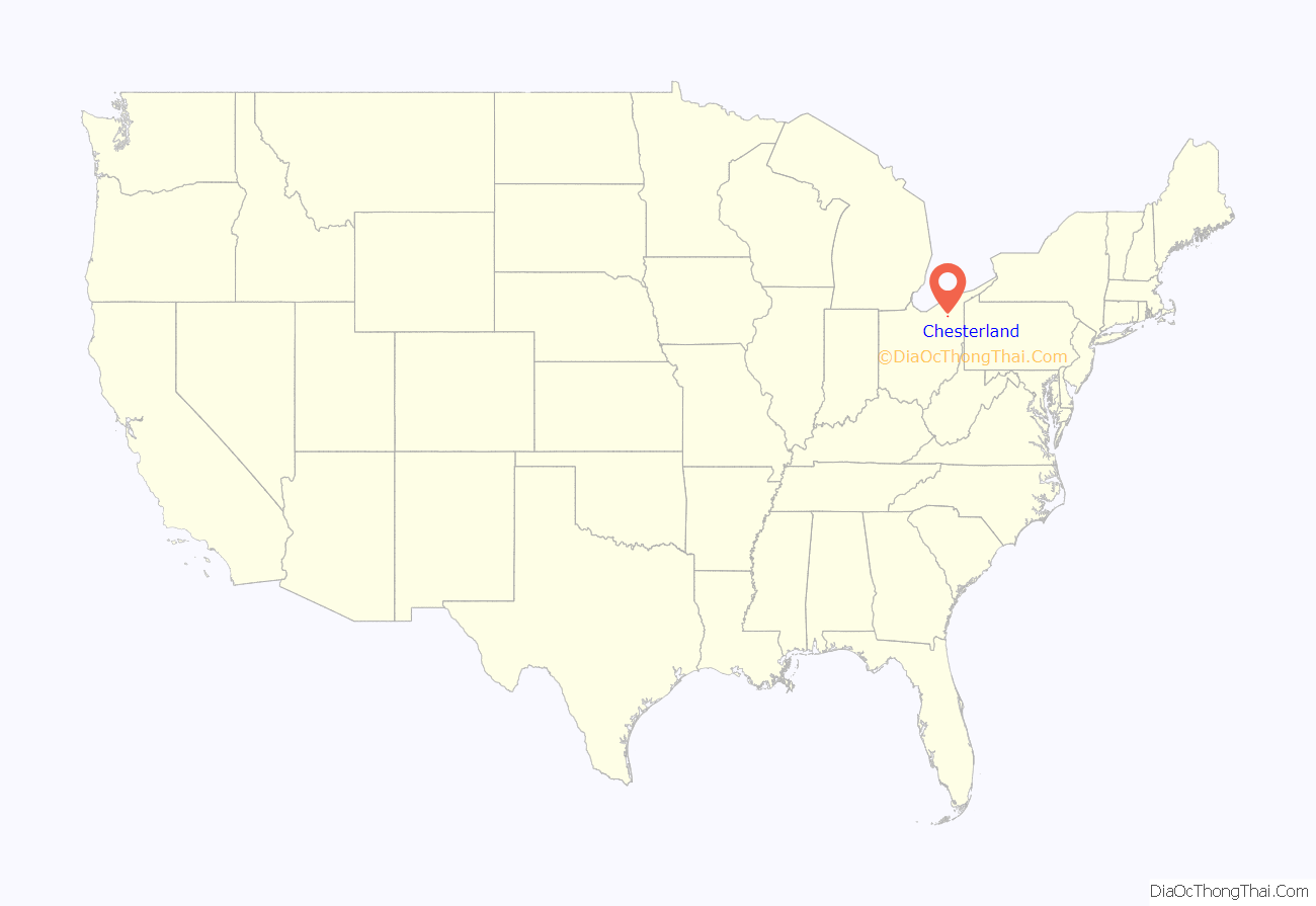
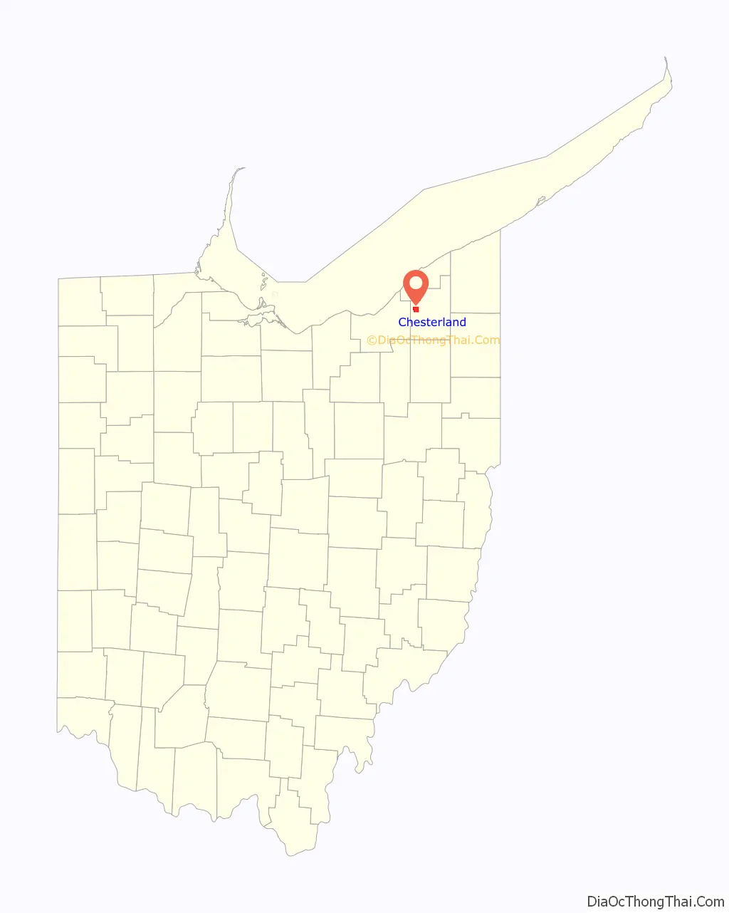
| State: | Ohio |
| County: | Geauga County |
| Elevation: | 1,214 ft (370 m) |
| Total Area: | 14.09 sq mi (36.48 km²) |
| Land Area: | 14.02 sq mi (36.32 km²) |
| Water Area: | 0.06 sq mi (0.16 km²) |
| Total Population: | 7,074 |
| Population Density: | 504.46/sq mi (194.77/km²) |
| ZIP code: | 44026 |
| Area code: | 440 |
| FIPS code: | 3914100 |
| GNISfeature ID: | 1060956 |
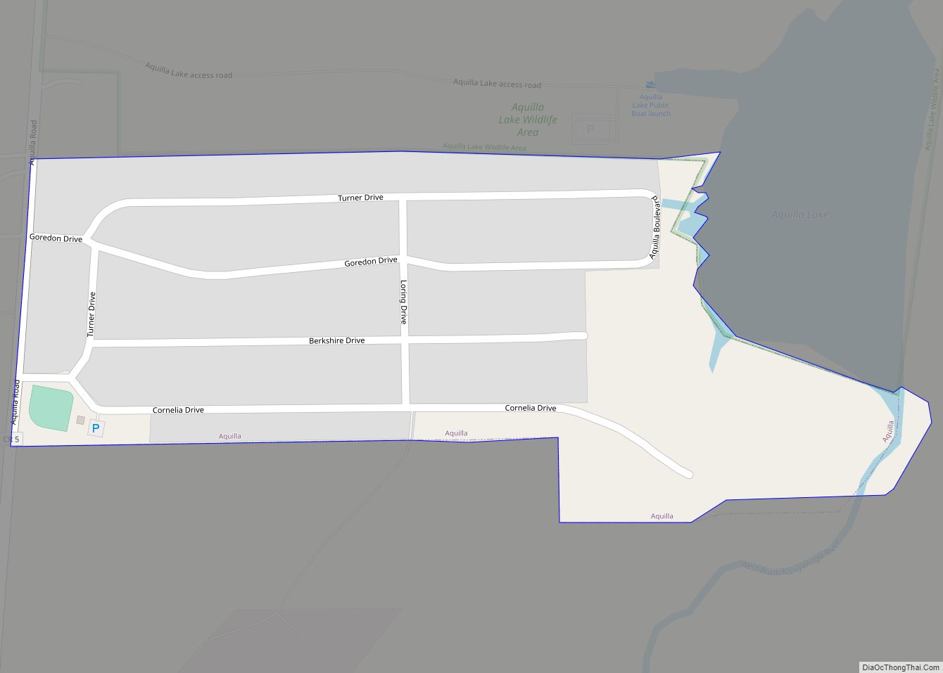
Online Interactive Map
Click on ![]() to view map in "full screen" mode.
to view map in "full screen" mode.
Chesterland location map. Where is Chesterland CDP?
History
A post office called “Chester Cross Roads” was established in 1826, and the name was changed to “Chesterland” in 1898. Chesterland derives its name from Chester, Massachusetts.
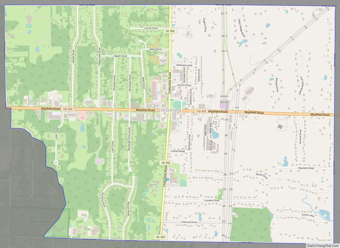
Chesterland Road Map
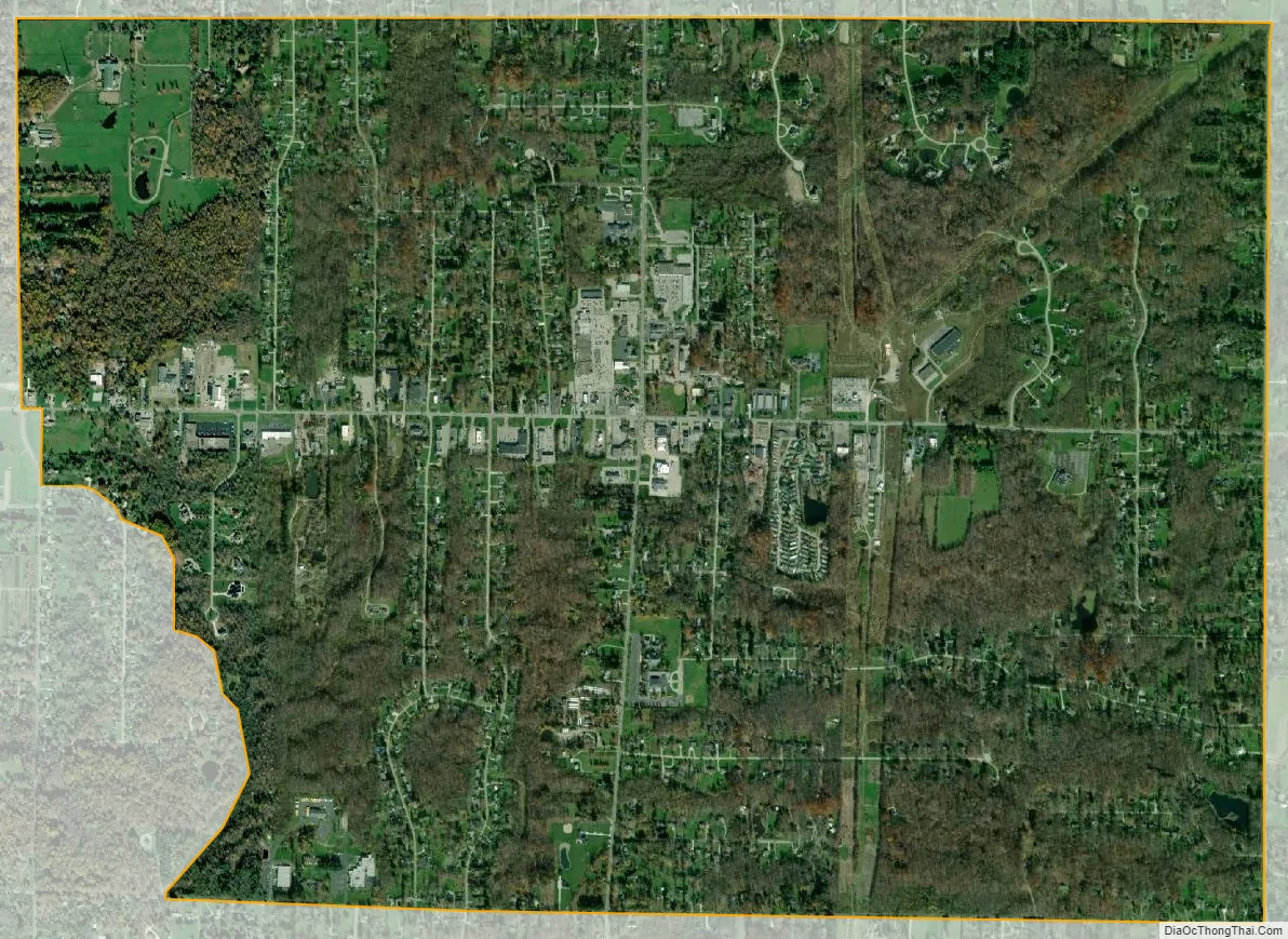
Chesterland city Satellite Map
Geography
Chesterland is in northwestern Geauga County at 41°31′22″N 81°20′14″W / 41.52278°N 81.33722°W / 41.52278; -81.33722 (41.522901, -81.337157), slightly to the southeast of the center of Chester Township.
According to the United States Census Bureau, the CDP has a total area of 4.4 square miles (11.4 km), of which 0.02 square miles (0.04 km), or 0.32%, is water.
The town center of Chesterland is located at the intersection of U.S. Route 322 and State Route 306. US-322 leads east 24 miles (39 km) to Orwell and west 19 miles (31 km) to downtown Cleveland, while SR 306 leads north 8 miles (13 km) to the center of Kirtland and south 9 miles (14 km) to Bainbridge. The commercial district of Chesterland spans out from this intersection in all directions.
Chesterland is part of the Chagrin Valley area, which is defined by the cities and villages along the Chagrin River.
See also
Map of Ohio State and its subdivision:- Adams
- Allen
- Ashland
- Ashtabula
- Athens
- Auglaize
- Belmont
- Brown
- Butler
- Carroll
- Champaign
- Clark
- Clermont
- Clinton
- Columbiana
- Coshocton
- Crawford
- Cuyahoga
- Darke
- Defiance
- Delaware
- Erie
- Fairfield
- Fayette
- Franklin
- Fulton
- Gallia
- Geauga
- Greene
- Guernsey
- Hamilton
- Hancock
- Hardin
- Harrison
- Henry
- Highland
- Hocking
- Holmes
- Huron
- Jackson
- Jefferson
- Knox
- Lake
- Lake Erie
- Lawrence
- Licking
- Logan
- Lorain
- Lucas
- Madison
- Mahoning
- Marion
- Medina
- Meigs
- Mercer
- Miami
- Monroe
- Montgomery
- Morgan
- Morrow
- Muskingum
- Noble
- Ottawa
- Paulding
- Perry
- Pickaway
- Pike
- Portage
- Preble
- Putnam
- Richland
- Ross
- Sandusky
- Scioto
- Seneca
- Shelby
- Stark
- Summit
- Trumbull
- Tuscarawas
- Union
- Van Wert
- Vinton
- Warren
- Washington
- Wayne
- Williams
- Wood
- Wyandot
- Alabama
- Alaska
- Arizona
- Arkansas
- California
- Colorado
- Connecticut
- Delaware
- District of Columbia
- Florida
- Georgia
- Hawaii
- Idaho
- Illinois
- Indiana
- Iowa
- Kansas
- Kentucky
- Louisiana
- Maine
- Maryland
- Massachusetts
- Michigan
- Minnesota
- Mississippi
- Missouri
- Montana
- Nebraska
- Nevada
- New Hampshire
- New Jersey
- New Mexico
- New York
- North Carolina
- North Dakota
- Ohio
- Oklahoma
- Oregon
- Pennsylvania
- Rhode Island
- South Carolina
- South Dakota
- Tennessee
- Texas
- Utah
- Vermont
- Virginia
- Washington
- West Virginia
- Wisconsin
- Wyoming