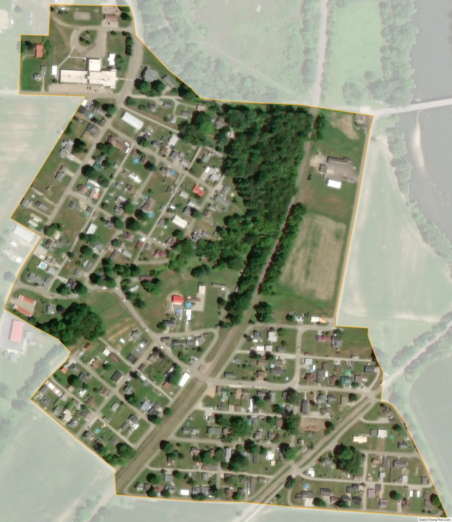
Conesville is a village in Coshocton County, Ohio, United States, along the Muskingum River. The population was 328 at the 2020 census.
| Name: | Conesville village |
|---|---|
| LSAD Code: | 47 |
| LSAD Description: | village (suffix) |
| State: | Ohio |
| County: | Coshocton County |
| Elevation: | 745 ft (227 m) |
| Total Area: | 0.14 sq mi (0.36 km²) |
| Land Area: | 0.14 sq mi (0.36 km²) |
| Water Area: | 0.00 sq mi (0.00 km²) |
| Total Population: | 328 |
| Population Density: | 2,359.71/sq mi (910.21/km²) |
| ZIP code: | 43811 |
| Area code: | 740 |
| FIPS code: | 3918266 |
| GNISfeature ID: | 1048625 |
Online Interactive Map
Click on ![]() to view map in "full screen" mode.
to view map in "full screen" mode.
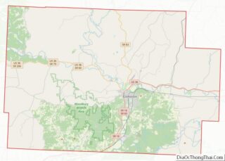
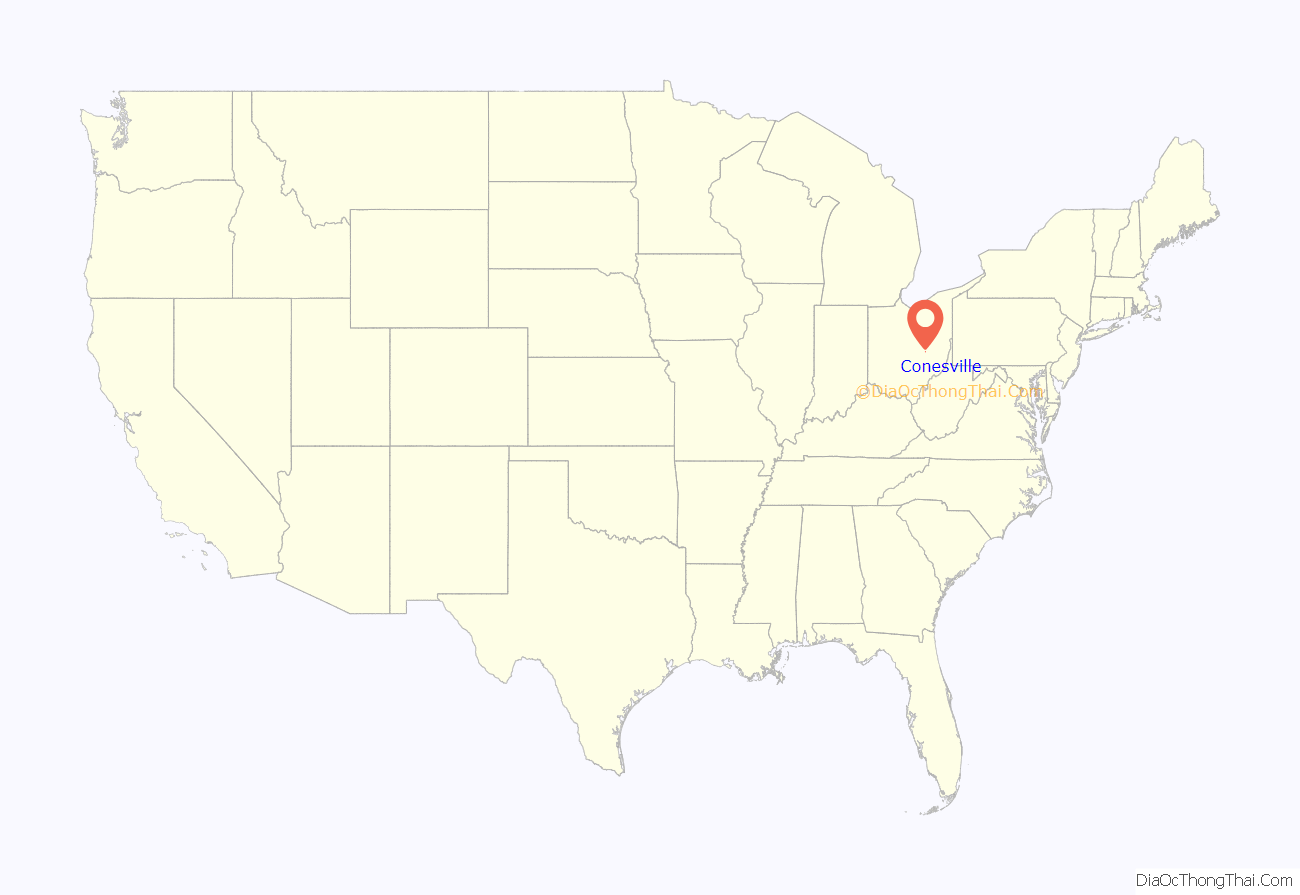
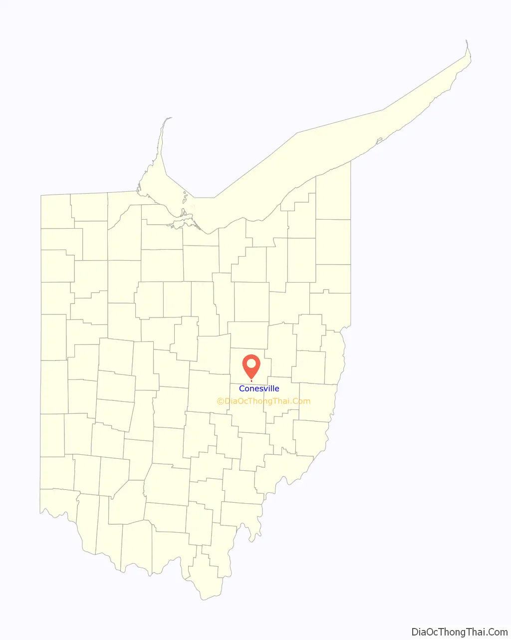
Conesville location map. Where is Conesville village?
History
Conesville is most likely named after Beebe Stewart Cone, who with three other men in 1847, erected a sizable distillery near the local west side of the Muskingum River. A grouping of houses for workers was built near the distillery accompanied by several small businesses. The distillery burned down in 1857. Afterward, Mr. Cone gave up that business venture and moved on to Muscatine County, Iowa. The distillery was rebuilt by a man named James Beebe but it also burned down a few years later. Prior to 1840, a man named Delaney had purchase land in the same area and planned for it to be named Delaneysville, but it failed as any incorporated entity.
The Conesville Power Plant is located just east of the village. Owned and operated by American Electric Power (AEP), the coal fired power plant started operations in 1957.
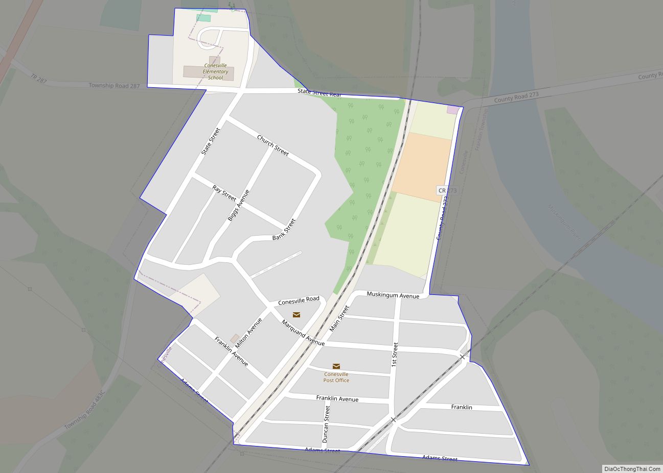
Conesville Road Map
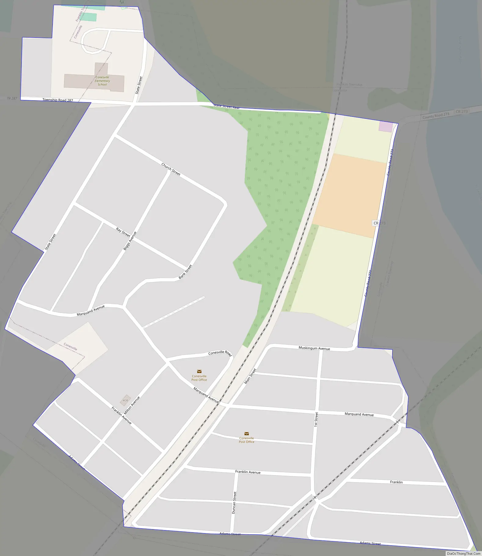
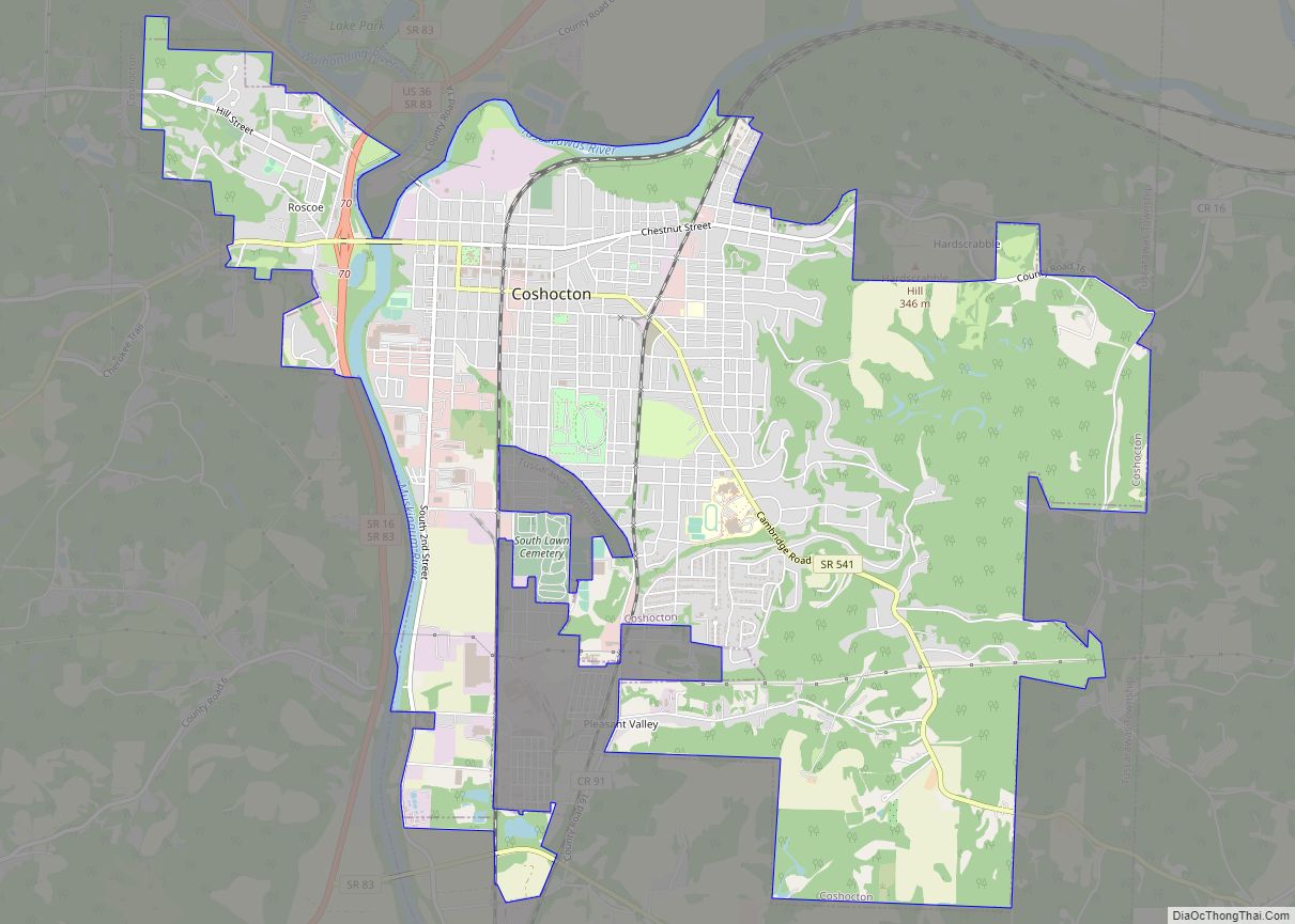
Conesville city Satellite Map
Geography
Conesville is located at 40°11′2″N 81°53′31″W / 40.18389°N 81.89194°W / 40.18389; -81.89194 (40.183753, -81.892019).
According to the United States Census Bureau, the village has a total area of 0.16 square miles (0.41 km), all land.
See also
Map of Ohio State and its subdivision:- Adams
- Allen
- Ashland
- Ashtabula
- Athens
- Auglaize
- Belmont
- Brown
- Butler
- Carroll
- Champaign
- Clark
- Clermont
- Clinton
- Columbiana
- Coshocton
- Crawford
- Cuyahoga
- Darke
- Defiance
- Delaware
- Erie
- Fairfield
- Fayette
- Franklin
- Fulton
- Gallia
- Geauga
- Greene
- Guernsey
- Hamilton
- Hancock
- Hardin
- Harrison
- Henry
- Highland
- Hocking
- Holmes
- Huron
- Jackson
- Jefferson
- Knox
- Lake
- Lake Erie
- Lawrence
- Licking
- Logan
- Lorain
- Lucas
- Madison
- Mahoning
- Marion
- Medina
- Meigs
- Mercer
- Miami
- Monroe
- Montgomery
- Morgan
- Morrow
- Muskingum
- Noble
- Ottawa
- Paulding
- Perry
- Pickaway
- Pike
- Portage
- Preble
- Putnam
- Richland
- Ross
- Sandusky
- Scioto
- Seneca
- Shelby
- Stark
- Summit
- Trumbull
- Tuscarawas
- Union
- Van Wert
- Vinton
- Warren
- Washington
- Wayne
- Williams
- Wood
- Wyandot
- Alabama
- Alaska
- Arizona
- Arkansas
- California
- Colorado
- Connecticut
- Delaware
- District of Columbia
- Florida
- Georgia
- Hawaii
- Idaho
- Illinois
- Indiana
- Iowa
- Kansas
- Kentucky
- Louisiana
- Maine
- Maryland
- Massachusetts
- Michigan
- Minnesota
- Mississippi
- Missouri
- Montana
- Nebraska
- Nevada
- New Hampshire
- New Jersey
- New Mexico
- New York
- North Carolina
- North Dakota
- Ohio
- Oklahoma
- Oregon
- Pennsylvania
- Rhode Island
- South Carolina
- South Dakota
- Tennessee
- Texas
- Utah
- Vermont
- Virginia
- Washington
- West Virginia
- Wisconsin
- Wyoming