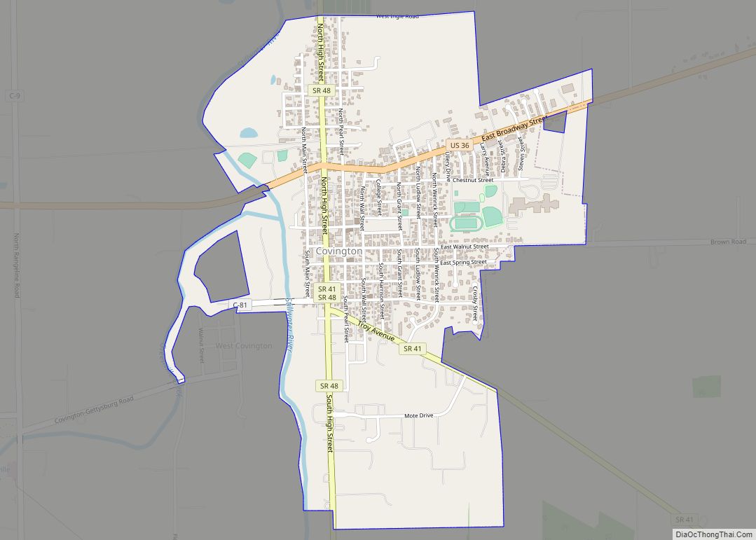
Covington is a village in Miami County, Ohio, United States. The population was 2,584 at the 2010 census. It is part of the Dayton Metropolitan Statistical Area. The village was incorporated as Covington in 1835 on the site of the 1793 Fort Rowdy.
| Name: | Covington village |
|---|---|
| LSAD Code: | 47 |
| LSAD Description: | village (suffix) |
| State: | Ohio |
| County: | Miami County |
| Elevation: | 932 ft (284 m) |
| Total Area: | 1.40 sq mi (3.62 km²) |
| Land Area: | 1.37 sq mi (3.55 km²) |
| Water Area: | 0.03 sq mi (0.07 km²) |
| Total Population: | 2,548 |
| Population Density: | 1,858.50/sq mi (717.78/km²) |
| ZIP code: | 45318 |
| Area code: | 937, 326 |
| FIPS code: | 3919050 |
| GNISfeature ID: | 1056842 |
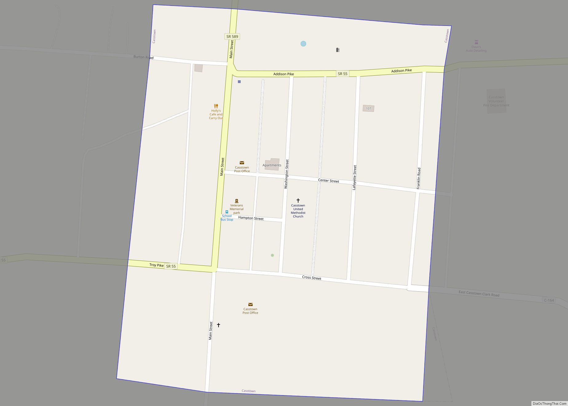
Online Interactive Map
Click on ![]() to view map in "full screen" mode.
to view map in "full screen" mode.
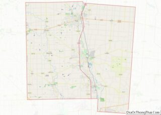
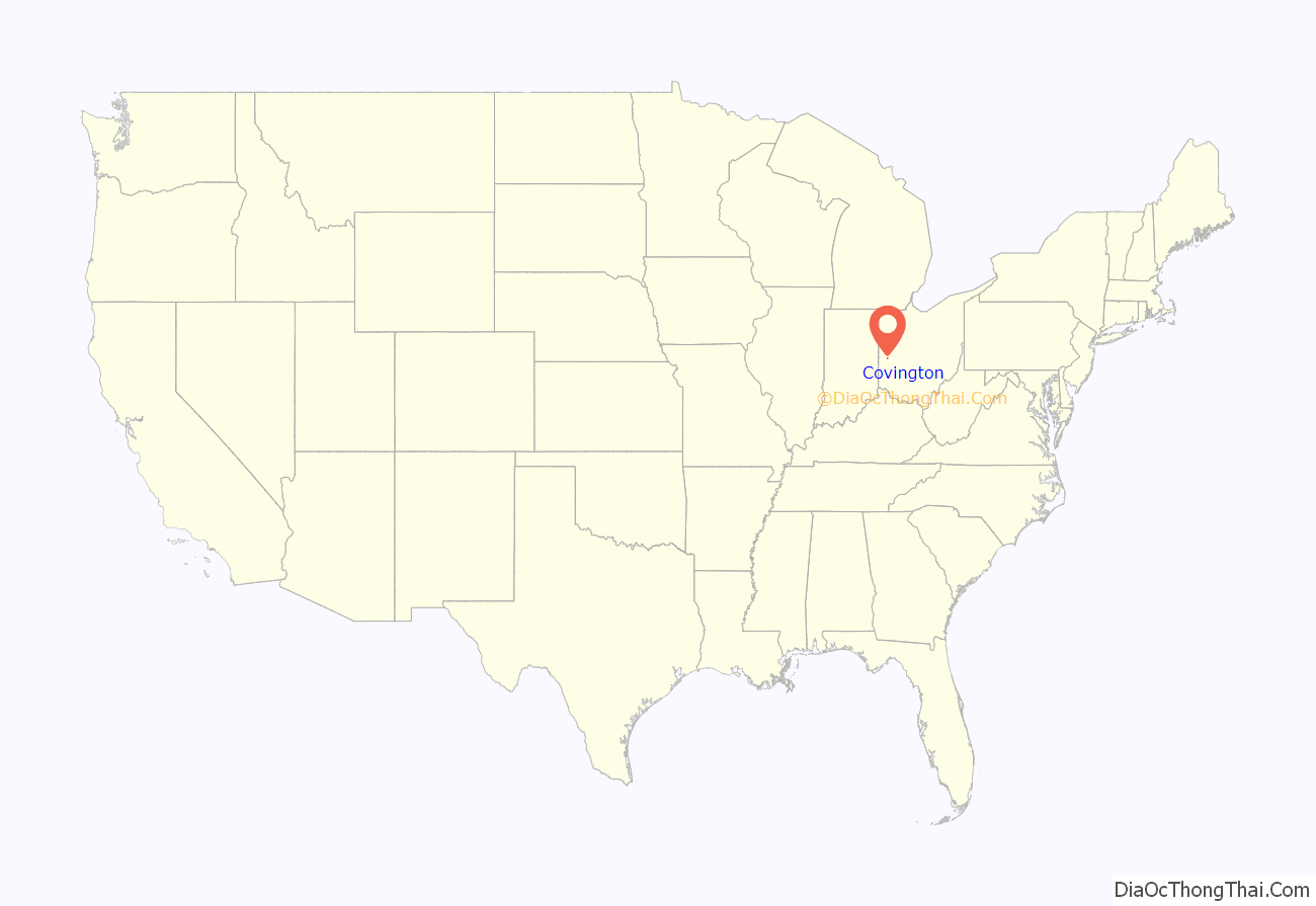
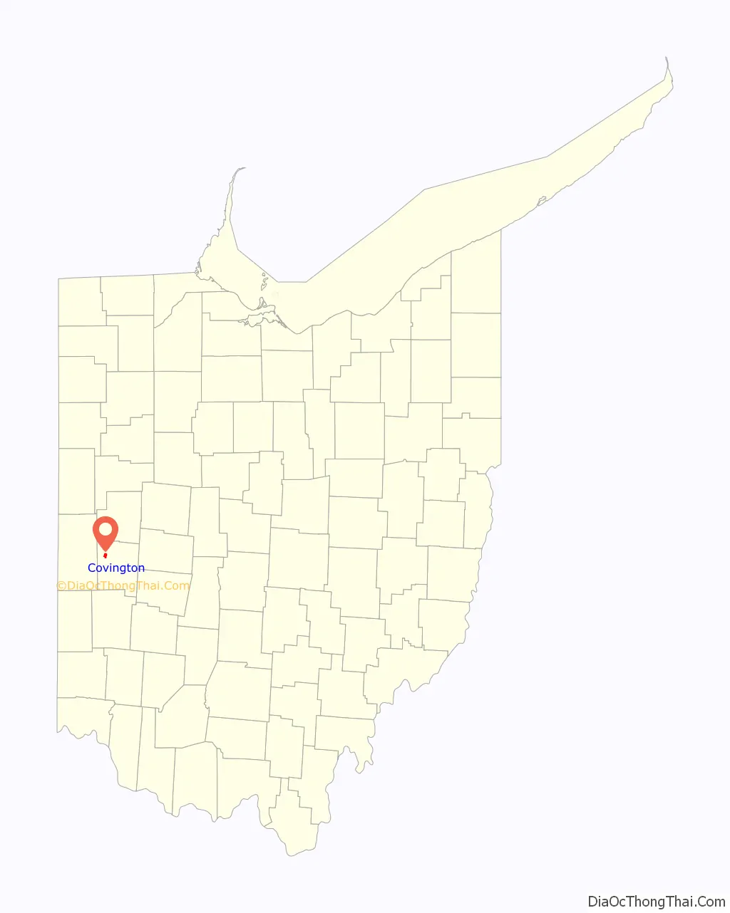
Covington location map. Where is Covington village?
History
Covington was laid out in 1816. Early variant names were Friendship, Newberry, and Stillwater. A post office called Stillwater was established in 1825, and the name was changed to Covington in 1836.
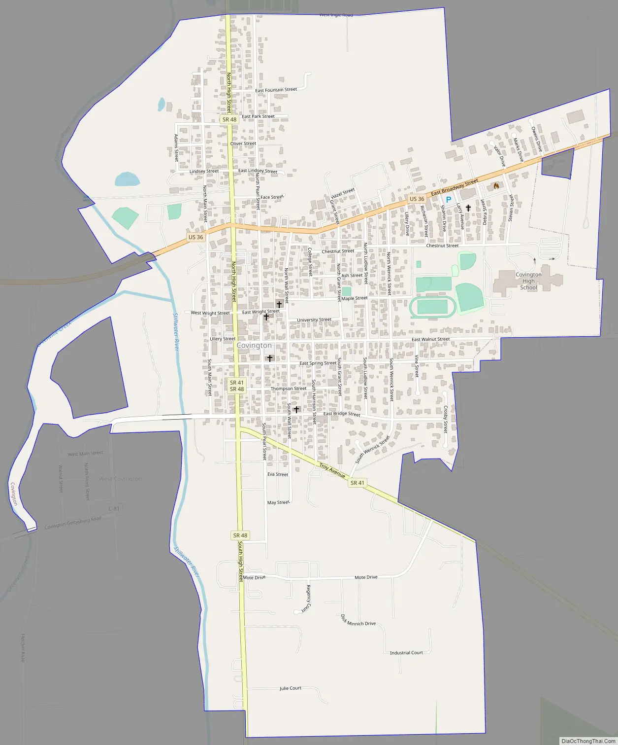
Covington Road Map
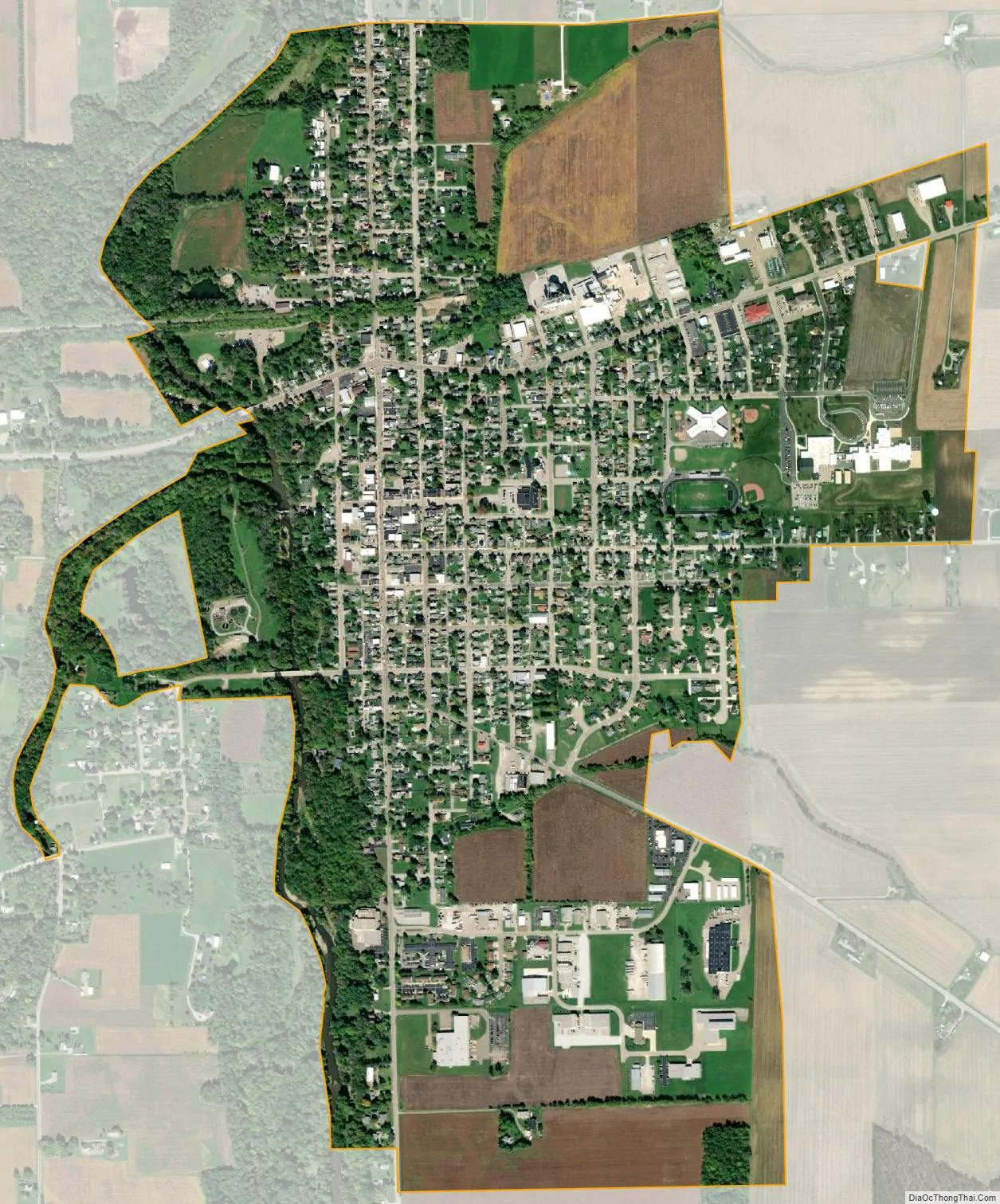
Covington city Satellite Map
Geography
Covington is located at 40°7′6″N 84°21′5″W / 40.11833°N 84.35139°W / 40.11833; -84.35139 (40.118434, -84.351312).
According to the United States Census Bureau, the village has a total area of 1.35 square miles (3.50 km), of which 1.32 square miles (3.42 km) is land and 0.03 square miles (0.08 km) is water. Portions of the west border follow along the Stillwater River and Greenville Creek.
See also
Map of Ohio State and its subdivision:- Adams
- Allen
- Ashland
- Ashtabula
- Athens
- Auglaize
- Belmont
- Brown
- Butler
- Carroll
- Champaign
- Clark
- Clermont
- Clinton
- Columbiana
- Coshocton
- Crawford
- Cuyahoga
- Darke
- Defiance
- Delaware
- Erie
- Fairfield
- Fayette
- Franklin
- Fulton
- Gallia
- Geauga
- Greene
- Guernsey
- Hamilton
- Hancock
- Hardin
- Harrison
- Henry
- Highland
- Hocking
- Holmes
- Huron
- Jackson
- Jefferson
- Knox
- Lake
- Lake Erie
- Lawrence
- Licking
- Logan
- Lorain
- Lucas
- Madison
- Mahoning
- Marion
- Medina
- Meigs
- Mercer
- Miami
- Monroe
- Montgomery
- Morgan
- Morrow
- Muskingum
- Noble
- Ottawa
- Paulding
- Perry
- Pickaway
- Pike
- Portage
- Preble
- Putnam
- Richland
- Ross
- Sandusky
- Scioto
- Seneca
- Shelby
- Stark
- Summit
- Trumbull
- Tuscarawas
- Union
- Van Wert
- Vinton
- Warren
- Washington
- Wayne
- Williams
- Wood
- Wyandot
- Alabama
- Alaska
- Arizona
- Arkansas
- California
- Colorado
- Connecticut
- Delaware
- District of Columbia
- Florida
- Georgia
- Hawaii
- Idaho
- Illinois
- Indiana
- Iowa
- Kansas
- Kentucky
- Louisiana
- Maine
- Maryland
- Massachusetts
- Michigan
- Minnesota
- Mississippi
- Missouri
- Montana
- Nebraska
- Nevada
- New Hampshire
- New Jersey
- New Mexico
- New York
- North Carolina
- North Dakota
- Ohio
- Oklahoma
- Oregon
- Pennsylvania
- Rhode Island
- South Carolina
- South Dakota
- Tennessee
- Texas
- Utah
- Vermont
- Virginia
- Washington
- West Virginia
- Wisconsin
- Wyoming