Crestline is a village in Crawford and Richland Counties in the U.S. state of Ohio. Crestline’s population was 4,630 at the 2010 census. It is the third largest municipality in Crawford County. The Crawford County portion of Crestline is part of the Bucyrus Micropolitan Statistical Area, while the small portion of the village that extends into Richland County is considered part of the Mansfield Metropolitan Statistical Area.
| Name: | Crestline village |
|---|---|
| LSAD Code: | 47 |
| LSAD Description: | village (suffix) |
| State: | Ohio |
| County: | Crawford County, Richland County |
| Founded: | 1851 |
| Elevation: | 1,142 ft (348 m) |
| Total Area: | 3.40 sq mi (8.80 km²) |
| Land Area: | 3.39 sq mi (8.79 km²) |
| Water Area: | 0.01 sq mi (0.01 km²) |
| Total Population: | 4,525 |
| Population Density: | 1,333.24/sq mi (514.76/km²) |
| ZIP code: | 44827 |
| Area code: | 419 |
| FIPS code: | 3919330 |
| GNISfeature ID: | 1061006 |
| Website: | http://www.crestlineoh.com/ |
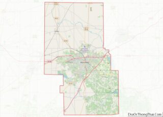
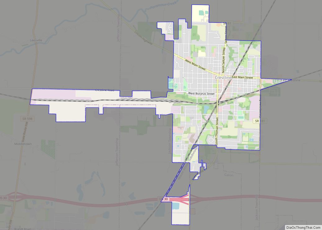
Online Interactive Map
Click on ![]() to view map in "full screen" mode.
to view map in "full screen" mode.
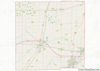
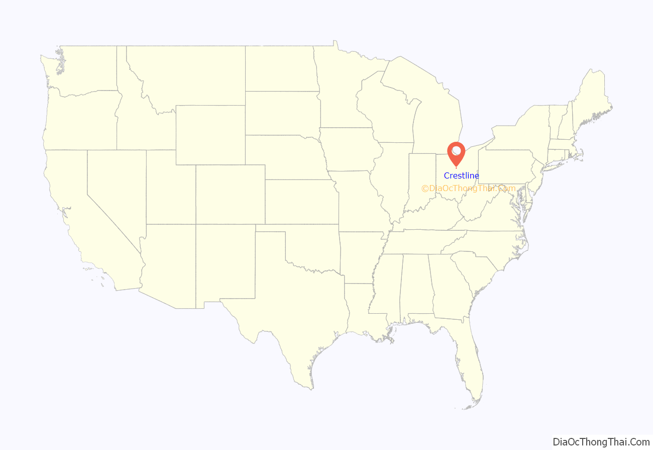
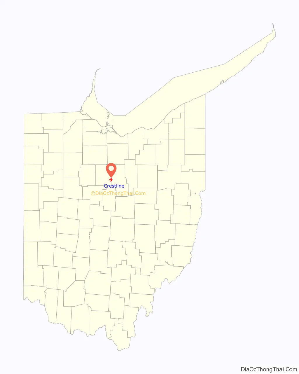
Crestline location map. Where is Crestline village?
History
First came the railroad, and then came the town. It all started in 1850 when a route was needed between Shelby and Galion, a distance of 13 miles, by the Cleveland, Columbus and Cincinnati Railroad, or the “Bee Line” as it was known then. Since there was no town between Shelby and Galion, it was decided that a station should be placed halfway for passenger convenience. The station was constructed where the line crossed the Leesville road.
Crestline was platted in 1852. It was once thought to be the highest point in Ohio and was named from its high elevation.
This station soon developed into a town, with a general store, post office, and a few homes. Early settlers in the village believed that the town was the watershed of the state, where streams to the north emptied into Lake Erie and those to the south emptied into the Ohio River, thus the name Crest Line. The town was not on the watershed line, but the name stuck and eventually became one word.
During its heyday, Crestline was a division point for the Pennsylvania Railroad’s Pittsburgh, Fort Wayne and Chicago Railway. The city housed major engine facilities and would often be the point where motive power was changed for the relatively flat runs to and from Chicago, Illinois. In addition to the town’s station being a stop on the Pennsylvania Railroad’s east–west trains, the station served as a transfer point to the New York Central Railroad’s northeast–southwest trains.
On November 1, 1903 two Pennsylvania line train cars carrying dynamite exploded, causing damage to the rail lines and several train cars. This disaster is noted as one of the catalysts which began the regulation of the shipping of hazardous substances.
The Pennsylvania Railroad’s engine facilities included a roundhouse on Crestline Road, decommissioned in 1968 in the aftermath of the merger between the Pennsylvania Railroad and the New York Central Railroad to form Penn Central. Demolition of the historic roundhouse commenced in 2007 after years of neglect. But, some buildings still stand. Today, Chicago, Fort Wayne and Eastern Railroad, CSX and Norfolk Southern trains operate in and around Crestline.
Major trains making stops in Crestline
- New York Central:
- Ohio State Limited (Cincinnati – Columbus – Cleveland – Buffalo – New York)
- Southwestern (St. Louis – Indianapolis – Cleveland – Buffalo – New York)
- Pennsylvania:
- Admiral, (Chicago- New York)
- General, (Chicago – New York)
- Manhattan Limited, (Chicago – New York)
- Pennsylvania Limited, (Chicago – New York)
- Broadway Limited, (Chicago – New York)
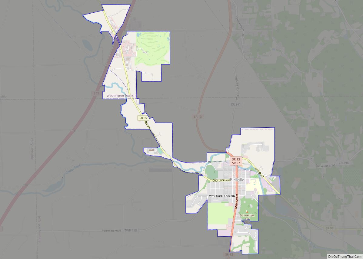
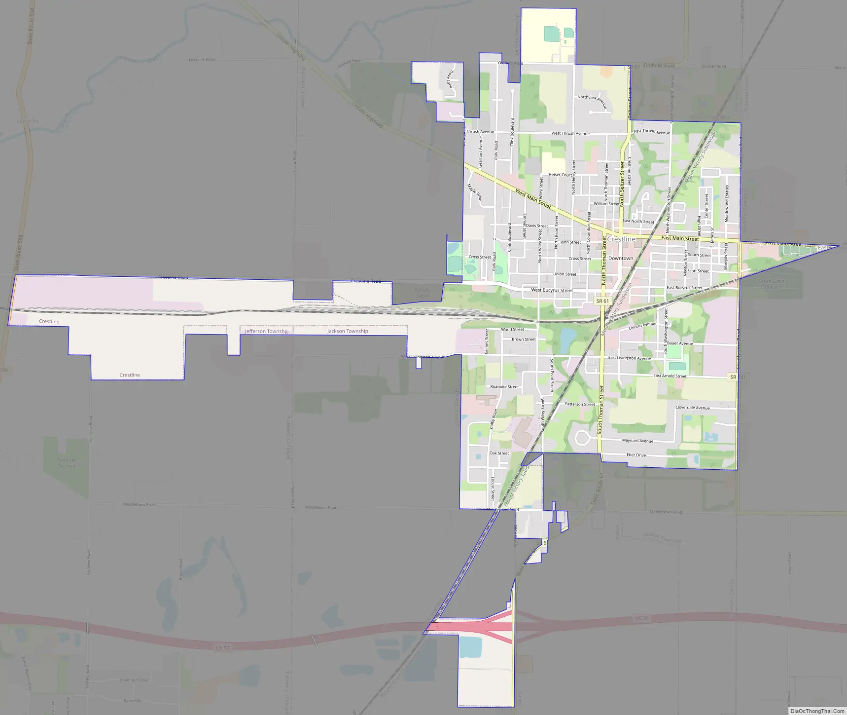
Crestline Road Map
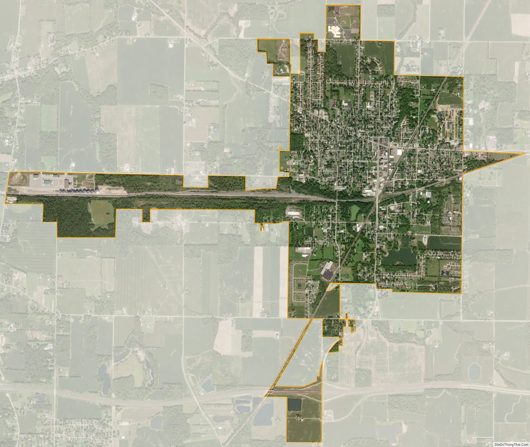
Crestline city Satellite Map
Geography
Crestline is located at 40°47′5″N 82°44′25″W / 40.78472°N 82.74028°W / 40.78472; -82.74028 (40.784657, -82.740192), along the Sandusky River near its headwaters.
According to the United States Census Bureau, the city has a total area of 3.18 square miles (8.24 km), of which 3.17 square miles (8.21 km) is land and 0.01 square miles (0.03 km) is water.
See also
Map of Ohio State and its subdivision:- Adams
- Allen
- Ashland
- Ashtabula
- Athens
- Auglaize
- Belmont
- Brown
- Butler
- Carroll
- Champaign
- Clark
- Clermont
- Clinton
- Columbiana
- Coshocton
- Crawford
- Cuyahoga
- Darke
- Defiance
- Delaware
- Erie
- Fairfield
- Fayette
- Franklin
- Fulton
- Gallia
- Geauga
- Greene
- Guernsey
- Hamilton
- Hancock
- Hardin
- Harrison
- Henry
- Highland
- Hocking
- Holmes
- Huron
- Jackson
- Jefferson
- Knox
- Lake
- Lake Erie
- Lawrence
- Licking
- Logan
- Lorain
- Lucas
- Madison
- Mahoning
- Marion
- Medina
- Meigs
- Mercer
- Miami
- Monroe
- Montgomery
- Morgan
- Morrow
- Muskingum
- Noble
- Ottawa
- Paulding
- Perry
- Pickaway
- Pike
- Portage
- Preble
- Putnam
- Richland
- Ross
- Sandusky
- Scioto
- Seneca
- Shelby
- Stark
- Summit
- Trumbull
- Tuscarawas
- Union
- Van Wert
- Vinton
- Warren
- Washington
- Wayne
- Williams
- Wood
- Wyandot
- Alabama
- Alaska
- Arizona
- Arkansas
- California
- Colorado
- Connecticut
- Delaware
- District of Columbia
- Florida
- Georgia
- Hawaii
- Idaho
- Illinois
- Indiana
- Iowa
- Kansas
- Kentucky
- Louisiana
- Maine
- Maryland
- Massachusetts
- Michigan
- Minnesota
- Mississippi
- Missouri
- Montana
- Nebraska
- Nevada
- New Hampshire
- New Jersey
- New Mexico
- New York
- North Carolina
- North Dakota
- Ohio
- Oklahoma
- Oregon
- Pennsylvania
- Rhode Island
- South Carolina
- South Dakota
- Tennessee
- Texas
- Utah
- Vermont
- Virginia
- Washington
- West Virginia
- Wisconsin
- Wyoming