Mentor (/ˈmɛntər/ MEN-tər) is the largest city in Lake County, Ohio, United States. The population was 47,450 at the 2020 census. It is part of the Cleveland metropolitan area.
Mentor was first settled in 1797. In 1876, James A. Garfield purchased a home in Mentor, from which he conducted the first successful front porch campaign for the presidency; the house is now maintained as the James A. Garfield National Historic Site. The city is home to Headlands Beach State Park, the longest public swimming beach in Ohio. The city is a major center of retail stores, ranking sixth-largest in Ohio as of 2012, and restaurants, ranking seventh-largest in the state as of 2012. Mentor Avenue (US 20) is the major retail center, which includes the Great Lakes Mall, with additional shopping and strip malls found along most major roads. Convenient Food Mart is based in Mentor. Major products include medical related, polymers, plastics, electric boards and other peripherals that generally serve the computer and automation industries. Two major railroads pass through the city, CSX Transportation and Norfolk Southern. Medical equipment company Steris is based in Mentor.
Mentor is named after the Greek figure Mentor, in keeping with the Connecticut Western Reserve settlers’ tradition, as well as that of most other Americans at the time, of celebrating aspects of Greek classicism (nearby Solon, Macedonia, Euclid, and Akron also were named using that principle). In July 2010, CNNMoney.com ranked Mentor 37th in a list of the Top 100 Best Small Cities to Live in America.
| Name: | Mentor city |
|---|---|
| LSAD Code: | 25 |
| LSAD Description: | city (suffix) |
| State: | Ohio |
| County: | Lake County |
| Elevation: | 692 ft (211 m) |
| Total Area: | 27.99 sq mi (72.50 km²) |
| Land Area: | 27.80 sq mi (71.99 km²) |
| Water Area: | 0.20 sq mi (0.51 km²) |
| Total Population: | 47,450 |
| Population Density: | 1,707.02/sq mi (659.09/km²) |
| ZIP code: | 44060-44061 |
| Area code: | 440 |
| FIPS code: | 3949056 |
| GNISfeature ID: | 1085475 |
| Website: | cityofmentor.com |
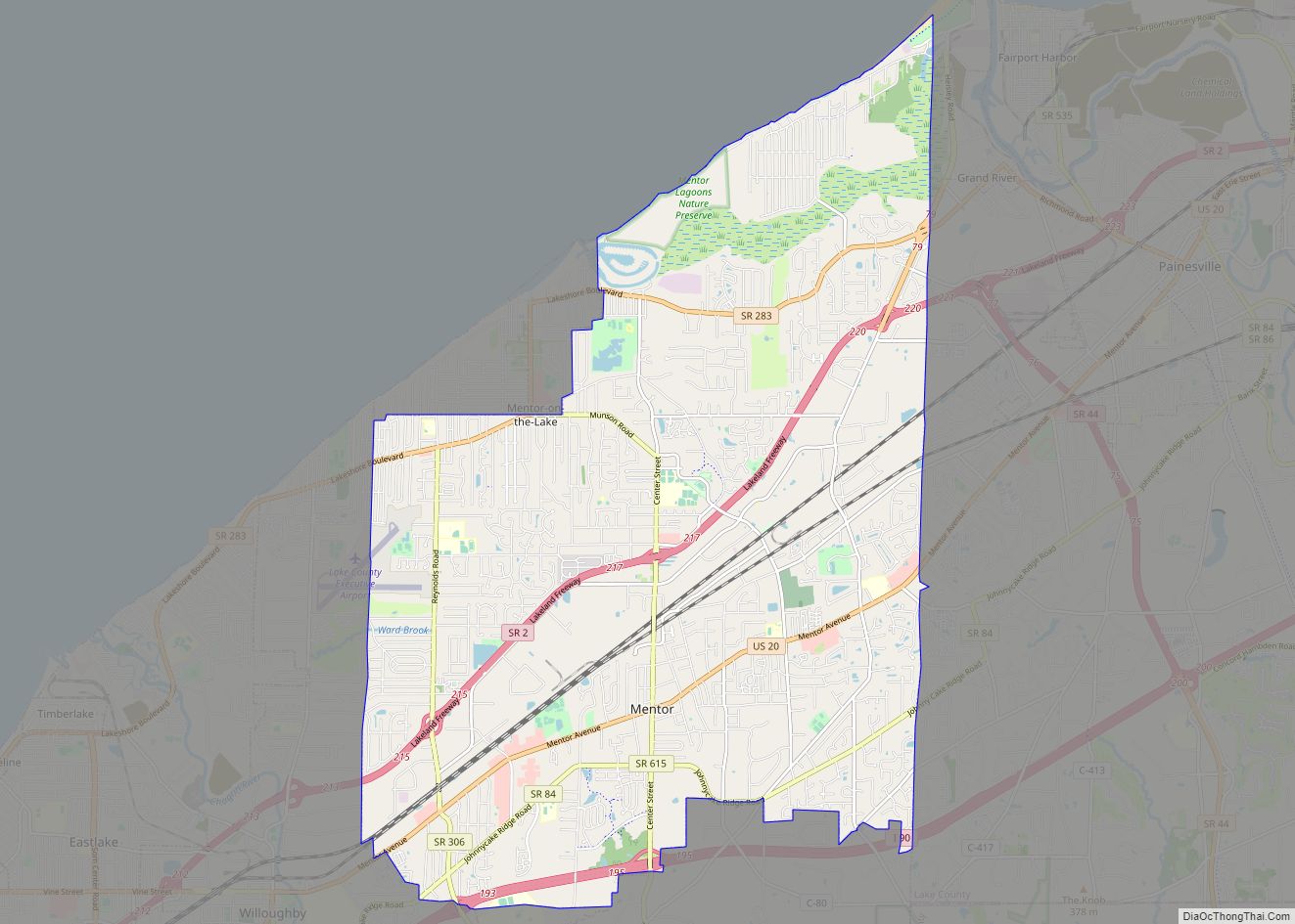
Online Interactive Map
Click on ![]() to view map in "full screen" mode.
to view map in "full screen" mode.
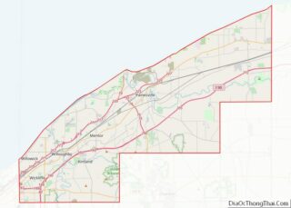
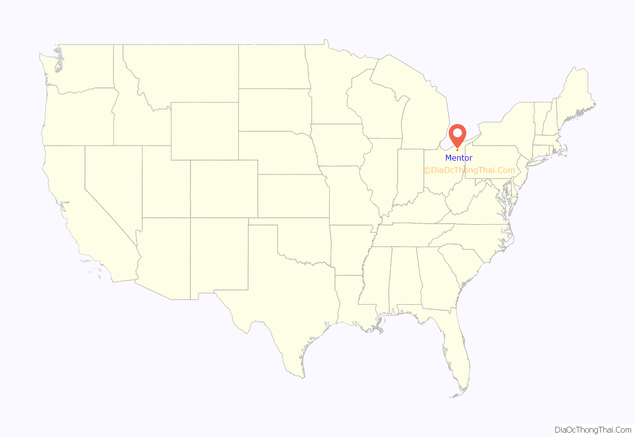
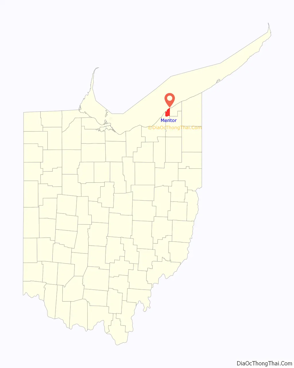
Mentor location map. Where is Mentor city?
History
Mentor was formally established in 1855 but founded in the late eighteenth century by Charles Parker who built the first settlement. This settlement was established before Ohio became the 17th state in the Union in 1803. About 5 years later in 1808, Lake County, the smallest county in Ohio, was established by separating it from Geaugau County. It earned the nickname, “Rose Capital of the Nation” due to the abundant rosebushes that grew throughout the city. During the time this nickname developed, Mentor’s tourist industry boomed due to Clevelanders trying to escape a dirty, industrial atmosphere. Post World War II, most Mentor dwellers had cars and could efficiently drive to work. This caused an increase in middle and working-class families and by 2000, about 50,000 people lived in Mentor. The “Official Flag of the City of Mentor” was designed by Brad Frost in 1988 for a contest by Mentor Headlands. The flag’s appearance is similar to Ohio’s flag in that they have similar shapes, a large blue triangle, and stripes. The blue triangle represents Ohio’s hills while the stripes represent roads and waterways. There is a white circle, symbolizing Ohio, with a cardinal, the official bird of Ohio and Mentor, sitting in the middle. There are six stars surrounding the circle symbolizing the 6 original townships, including Mentor, surveyed in 1797.
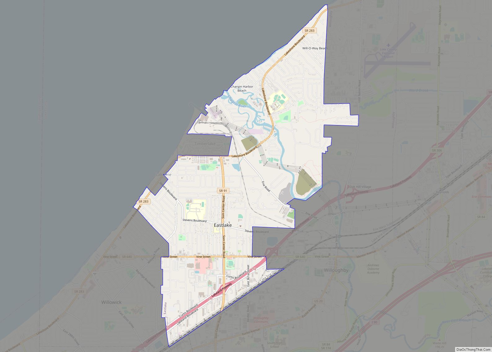
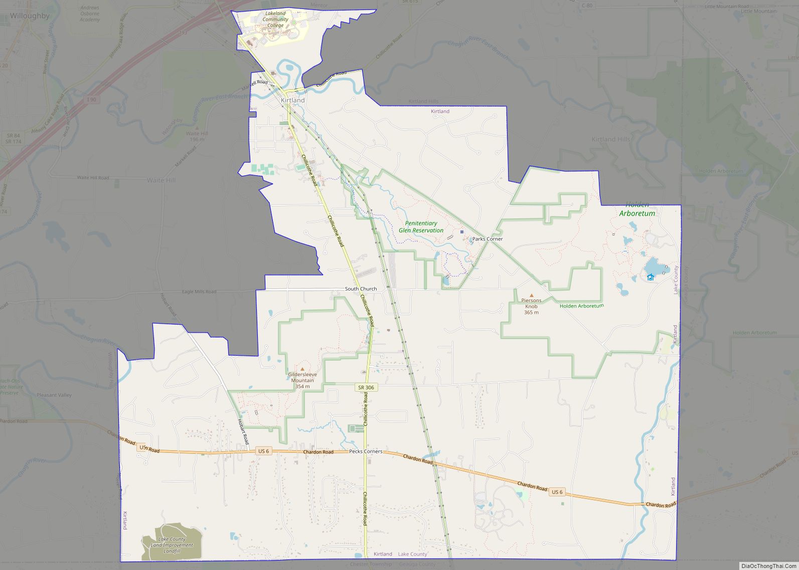
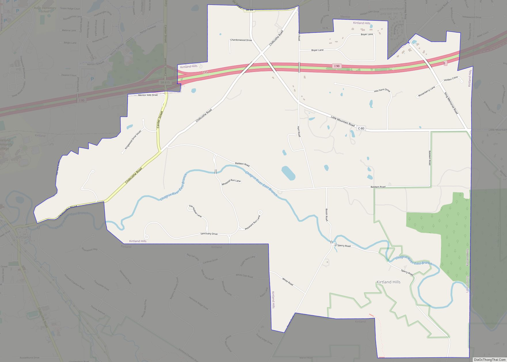
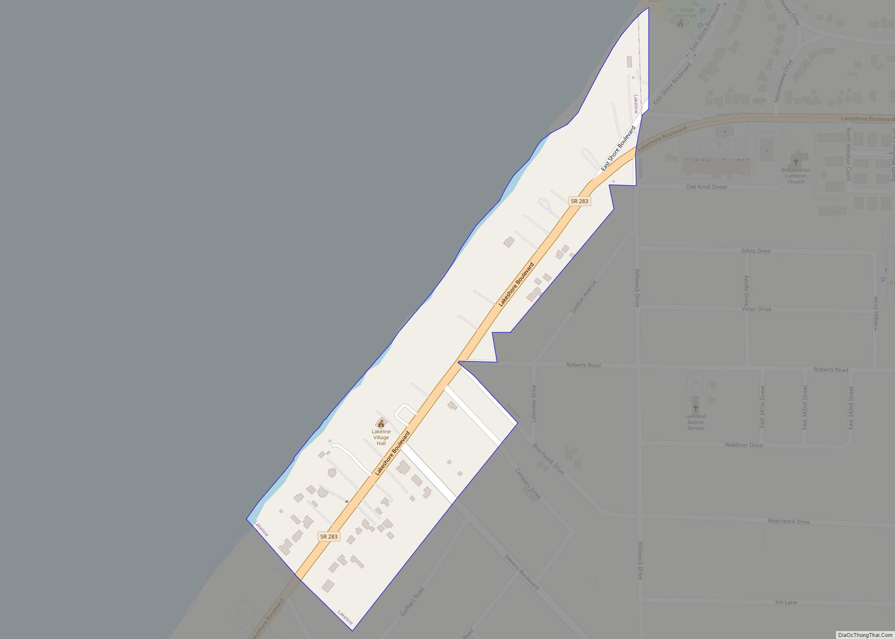
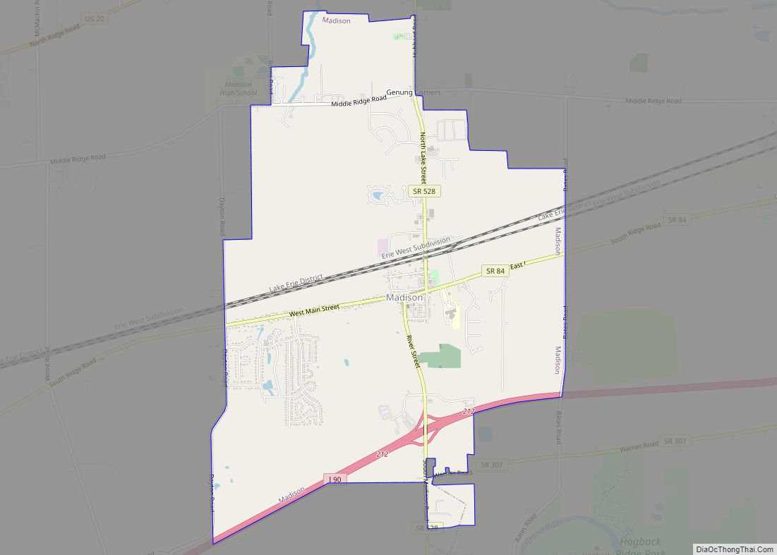
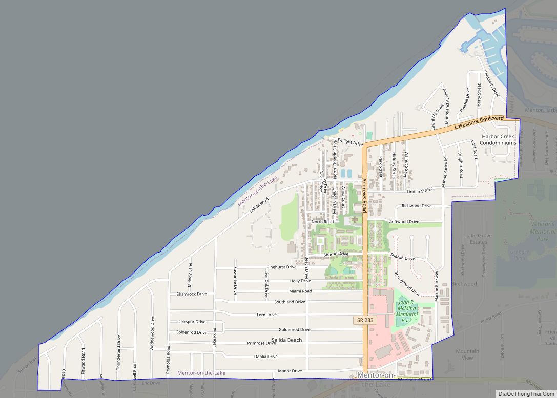
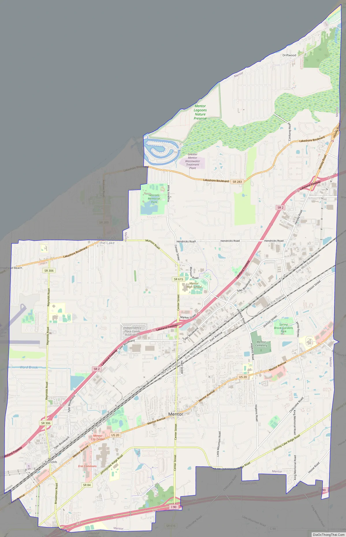
Mentor Road Map
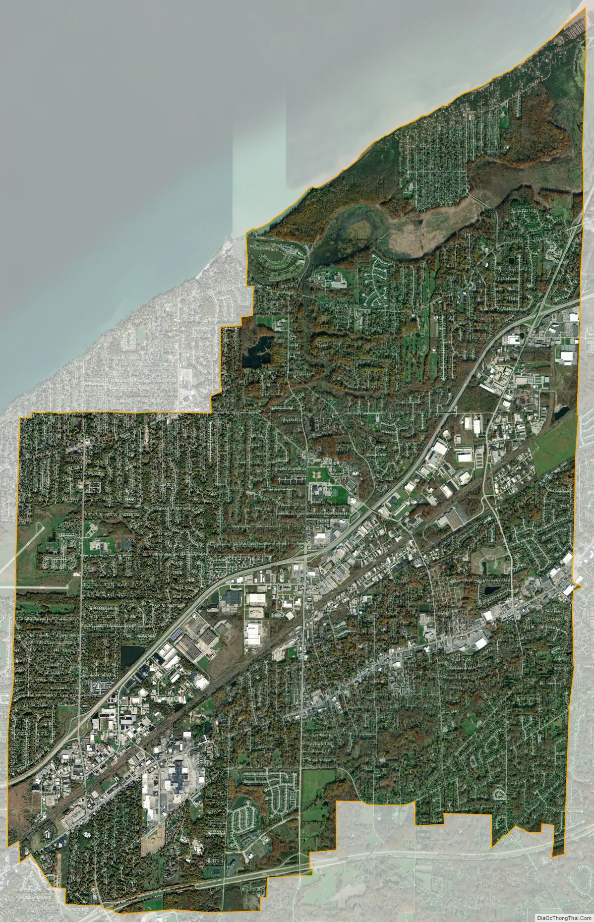
Mentor city Satellite Map
Geography
Mentor is a suburb of Cleveland and is located on the south shore of Lake Erie. The Mentor Headlands area of Mentor, located in the northeast portion of the city, was settled in 1797 by Connecticut Land Company surveyors.
According to the United States Census Bureau, the city has a total area of 28.00 square miles (72.52 km), of which 26.65 square miles (69.02 km) is land and 1.35 square miles (3.50 km) is water.
Climate
The average temperature in Mentor is 49.90 °F which is comparable to the Ohio average temperature of 50.88 °F but lower than the national average of 54.45 °F. The annual average for precipitation is 42.87 inches which is higher than the national and state average, Mentor averages 93.4 days with more than .1 inches of rain. This is higher than Ohio’s average of 80 days. Mentor expects about 61.25 days with 1 or more inches of snow. The wind average is 18.61 mph and humidity is 75.82%.
See also
Map of Ohio State and its subdivision:- Adams
- Allen
- Ashland
- Ashtabula
- Athens
- Auglaize
- Belmont
- Brown
- Butler
- Carroll
- Champaign
- Clark
- Clermont
- Clinton
- Columbiana
- Coshocton
- Crawford
- Cuyahoga
- Darke
- Defiance
- Delaware
- Erie
- Fairfield
- Fayette
- Franklin
- Fulton
- Gallia
- Geauga
- Greene
- Guernsey
- Hamilton
- Hancock
- Hardin
- Harrison
- Henry
- Highland
- Hocking
- Holmes
- Huron
- Jackson
- Jefferson
- Knox
- Lake
- Lake Erie
- Lawrence
- Licking
- Logan
- Lorain
- Lucas
- Madison
- Mahoning
- Marion
- Medina
- Meigs
- Mercer
- Miami
- Monroe
- Montgomery
- Morgan
- Morrow
- Muskingum
- Noble
- Ottawa
- Paulding
- Perry
- Pickaway
- Pike
- Portage
- Preble
- Putnam
- Richland
- Ross
- Sandusky
- Scioto
- Seneca
- Shelby
- Stark
- Summit
- Trumbull
- Tuscarawas
- Union
- Van Wert
- Vinton
- Warren
- Washington
- Wayne
- Williams
- Wood
- Wyandot
- Alabama
- Alaska
- Arizona
- Arkansas
- California
- Colorado
- Connecticut
- Delaware
- District of Columbia
- Florida
- Georgia
- Hawaii
- Idaho
- Illinois
- Indiana
- Iowa
- Kansas
- Kentucky
- Louisiana
- Maine
- Maryland
- Massachusetts
- Michigan
- Minnesota
- Mississippi
- Missouri
- Montana
- Nebraska
- Nevada
- New Hampshire
- New Jersey
- New Mexico
- New York
- North Carolina
- North Dakota
- Ohio
- Oklahoma
- Oregon
- Pennsylvania
- Rhode Island
- South Carolina
- South Dakota
- Tennessee
- Texas
- Utah
- Vermont
- Virginia
- Washington
- West Virginia
- Wisconsin
- Wyoming