Eaton Estates is an unincorporated community and census-designated place (CDP) in Lorain County, Ohio, United States. The population was 1,222 at the 2010 census, down from 1,409 at the 2000 census.
| Name: | Eaton Estates CDP |
|---|---|
| LSAD Code: | 57 |
| LSAD Description: | CDP (suffix) |
| State: | Ohio |
| County: | Lorain County |
| Elevation: | 801 ft (244 m) |
| Total Area: | 0.87 sq mi (2.26 km²) |
| Land Area: | 0.87 sq mi (2.25 km²) |
| Water Area: | 0.00 sq mi (0.01 km²) |
| Total Population: | 1,155 |
| Population Density: | 1,329.11/sq mi (512.88/km²) |
| FIPS code: | 3924262 |
| GNISfeature ID: | 1048686 |
Online Interactive Map
Click on ![]() to view map in "full screen" mode.
to view map in "full screen" mode.
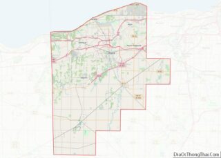
Eaton Estates location map. Where is Eaton Estates CDP?
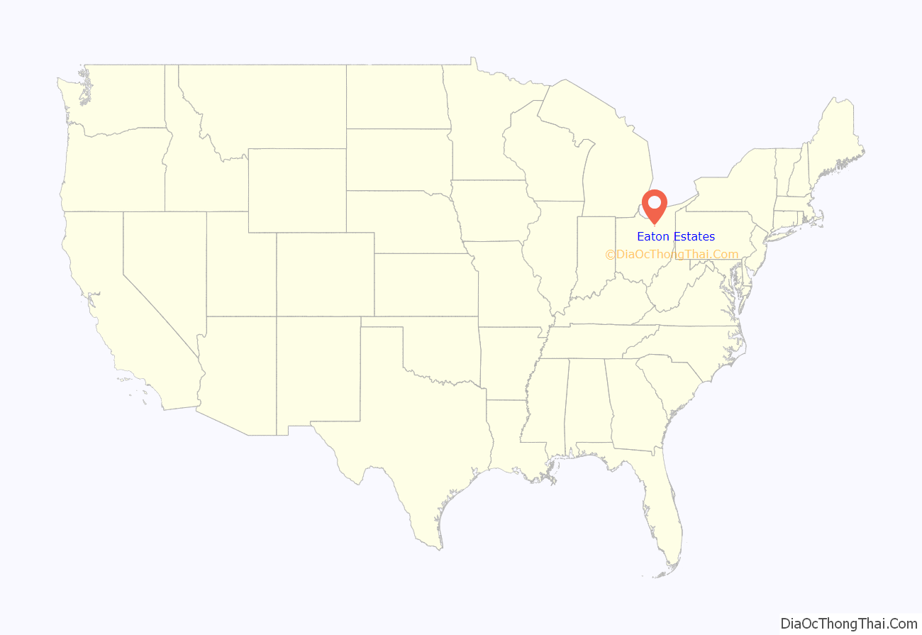
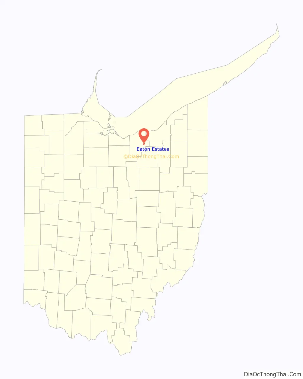
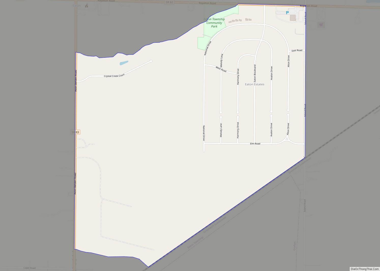
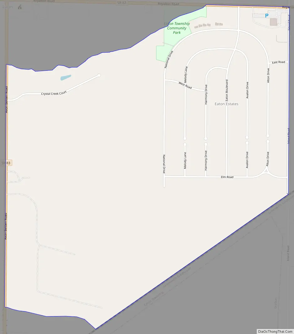
Eaton Estates Road Map
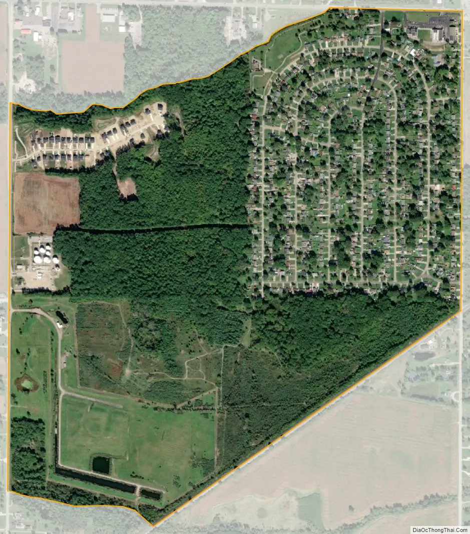
Eaton Estates city Satellite Map
Geography
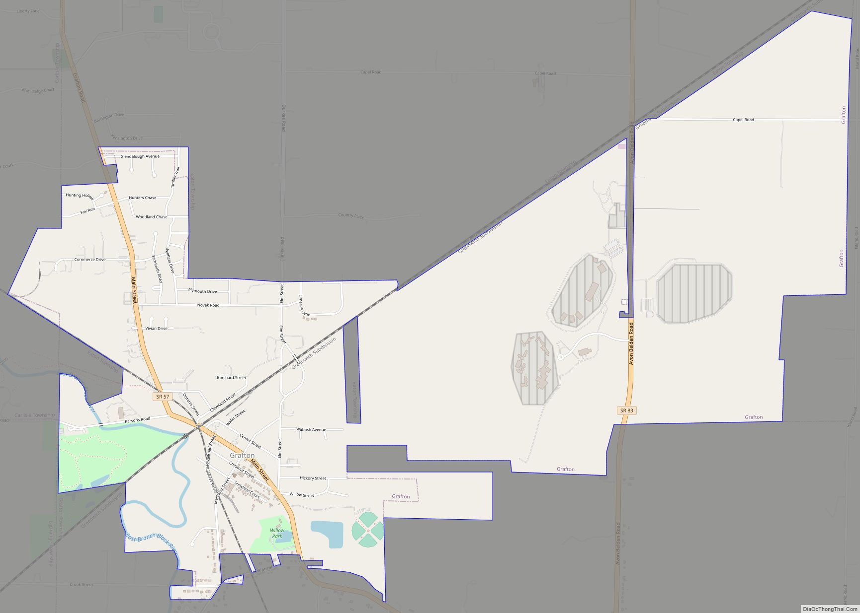
Eaton Estates is located in eastern Lorain County at 41°18′30″N 82°00′24″W / 41.308439°N 82.006637°W / 41.308439; -82.006637, in central Eaton Township. It is bordered to the south by the village of Grafton, to the east by unincorporated North Eaton, and to the northwest by the unincorporated hamlet of Eaton.
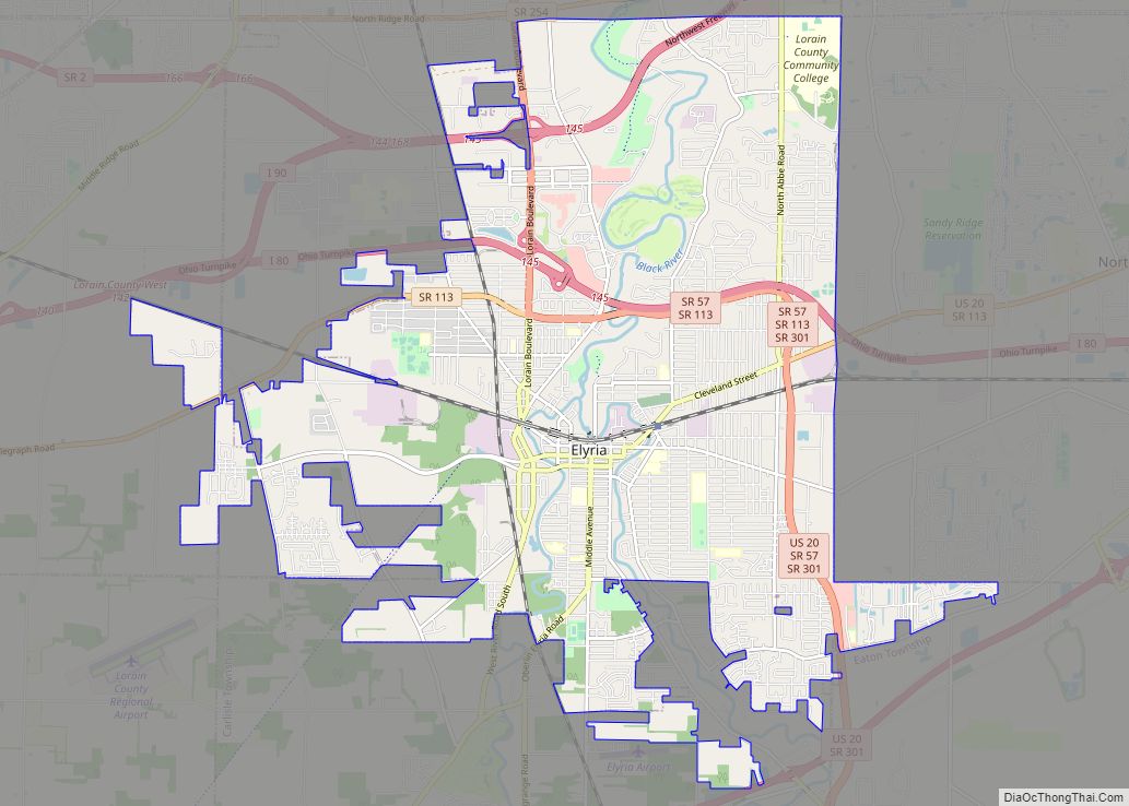
Ohio State Route 82 forms part of the northern boundary of the CDP, and State Route 83 forms the western boundary. SR 82 leads east 9 miles (14 km) to Strongsville and west 3.5 miles (5.6 km) to Brentwood Lake, while SR 83 leads north 5 miles (8 km) to North Ridgeville and south 11 miles (18 km) to Litchfield. Elyria, the Lorain county seat, is 7 miles (11 km) to the northwest, and downtown Cleveland is 26 miles (42 km) to the northeast.
According to the United States Census Bureau, the Eaton Estates CDP has a total area of 0.89 square miles (2.3 km), of which 1.7 acres (6,851 m), or 0.30%, are water. Land in Eaton Estates drains to Willow Creek, a northwest-flowing tributary of the Black River, which flows north to Lake Erie at Lorain.
See also
Map of Ohio State and its subdivision:- Adams
- Allen
- Ashland
- Ashtabula
- Athens
- Auglaize
- Belmont
- Brown
- Butler
- Carroll
- Champaign
- Clark
- Clermont
- Clinton
- Columbiana
- Coshocton
- Crawford
- Cuyahoga
- Darke
- Defiance
- Delaware
- Erie
- Fairfield
- Fayette
- Franklin
- Fulton
- Gallia
- Geauga
- Greene
- Guernsey
- Hamilton
- Hancock
- Hardin
- Harrison
- Henry
- Highland
- Hocking
- Holmes
- Huron
- Jackson
- Jefferson
- Knox
- Lake
- Lake Erie
- Lawrence
- Licking
- Logan
- Lorain
- Lucas
- Madison
- Mahoning
- Marion
- Medina
- Meigs
- Mercer
- Miami
- Monroe
- Montgomery
- Morgan
- Morrow
- Muskingum
- Noble
- Ottawa
- Paulding
- Perry
- Pickaway
- Pike
- Portage
- Preble
- Putnam
- Richland
- Ross
- Sandusky
- Scioto
- Seneca
- Shelby
- Stark
- Summit
- Trumbull
- Tuscarawas
- Union
- Van Wert
- Vinton
- Warren
- Washington
- Wayne
- Williams
- Wood
- Wyandot
- Alabama
- Alaska
- Arizona
- Arkansas
- California
- Colorado
- Connecticut
- Delaware
- District of Columbia
- Florida
- Georgia
- Hawaii
- Idaho
- Illinois
- Indiana
- Iowa
- Kansas
- Kentucky
- Louisiana
- Maine
- Maryland
- Massachusetts
- Michigan
- Minnesota
- Mississippi
- Missouri
- Montana
- Nebraska
- Nevada
- New Hampshire
- New Jersey
- New Mexico
- New York
- North Carolina
- North Dakota
- Ohio
- Oklahoma
- Oregon
- Pennsylvania
- Rhode Island
- South Carolina
- South Dakota
- Tennessee
- Texas
- Utah
- Vermont
- Virginia
- Washington
- West Virginia
- Wisconsin
- Wyoming