Fairport Harbor is a village in Lake County, Ohio, United States, along Lake Erie at the mouth of the Grand River. The population was 3,108 at the 2020 census. A suburb of Cleveland, it is part of the Cleveland metropolitan area.
Fairport Harbor is home to two lighthouses: the Fairport Harbor West Breakwater Light in Painesville Township, operated by the United States Coast Guard and the Grand River (Fairport Harbor) Light operated by the Fairport Harbor Historical Society. It is also the home of the Finnish Heritage Museum.
| Name: | Fairport Harbor village |
|---|---|
| LSAD Code: | 47 |
| LSAD Description: | village (suffix) |
| State: | Ohio |
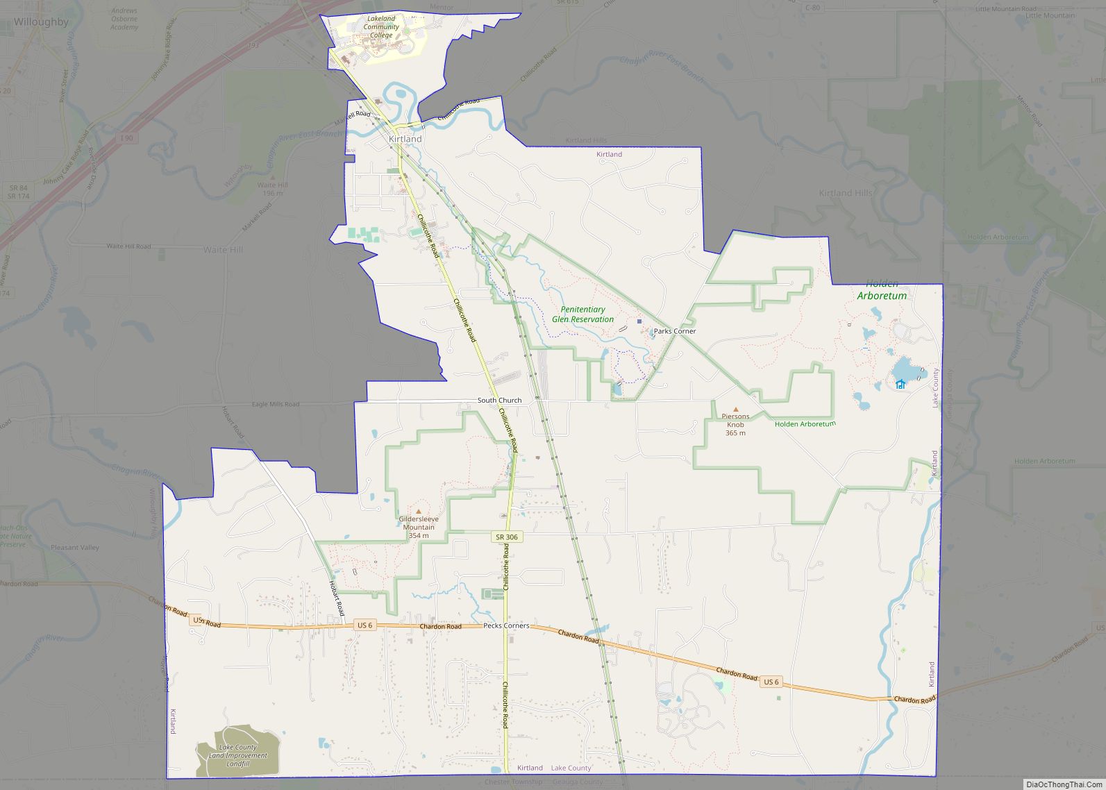
| County: | Lake County |
| Elevation: | 610 ft (186 m) |
| Total Area: | 1.11 sq mi (2.87 km²) |
| Land Area: | 1.03 sq mi (2.66 km²) |
| Water Area: | 0.08 sq mi (0.21 km²) |
| Total Population: | 3,108 |
| Population Density: | 3,026.29/sq mi (1,168.37/km²) |
| ZIP code: | 44077 |
| Area code: | 440 |
| FIPS code: | 3926306 |
| GNISfeature ID: | 1083984 |
| Website: | www.fairportharbor.org |
Online Interactive Map
Click on ![]() to view map in "full screen" mode.
to view map in "full screen" mode.
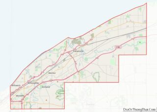
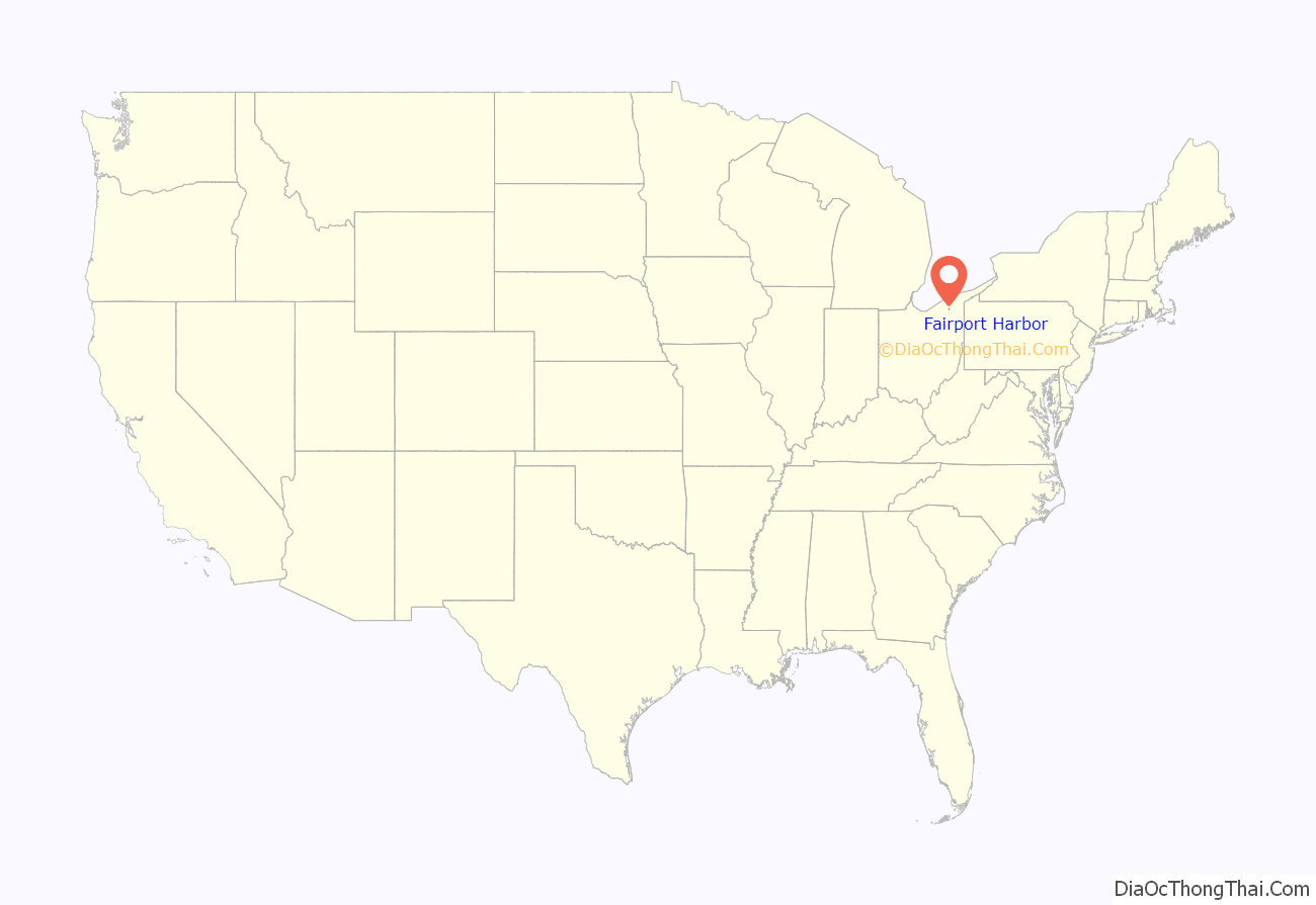
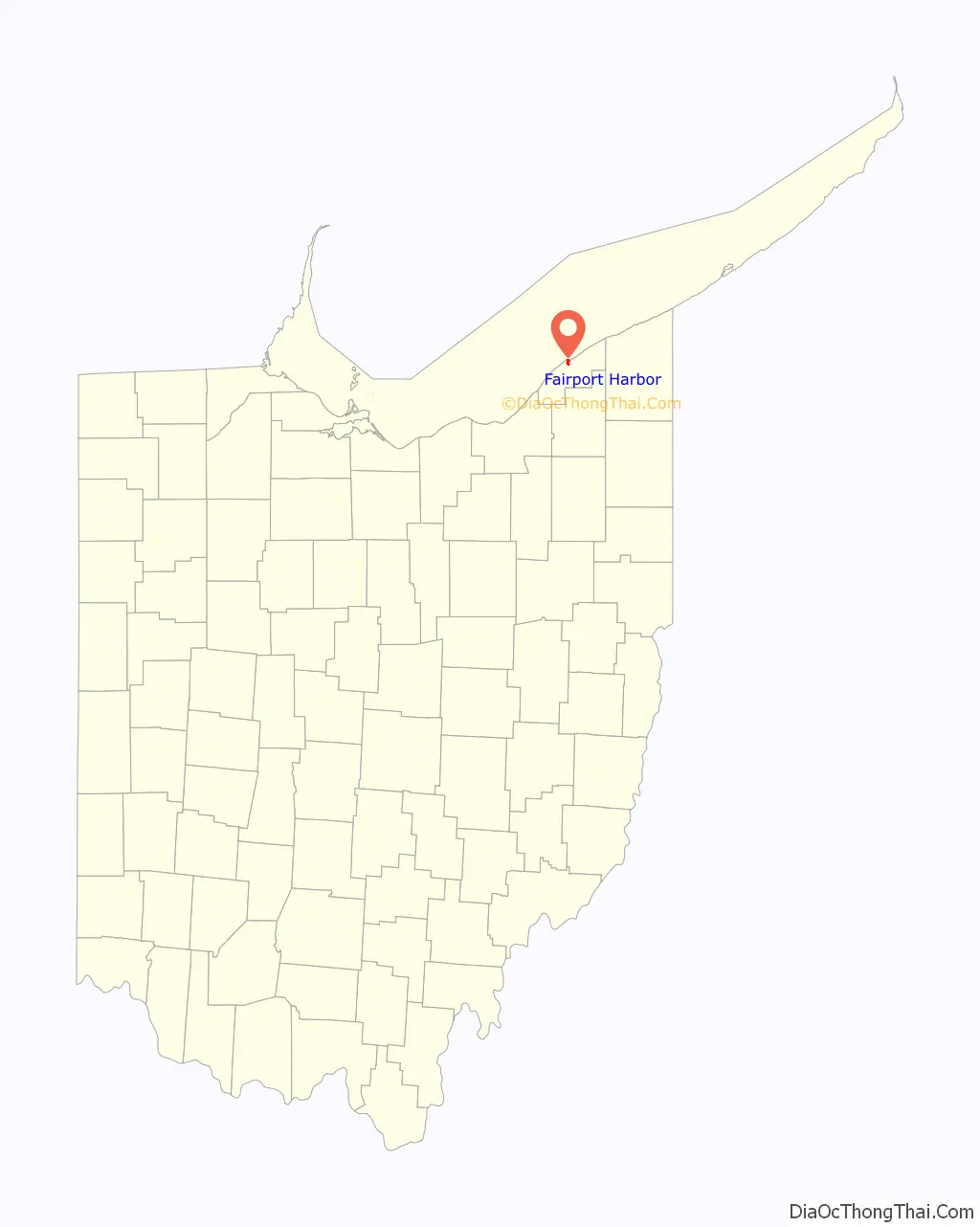
Fairport Harbor location map. Where is Fairport Harbor village?
History
Fairport Harbor’s location at the mouth of the Grand River made it an ideal place for a settlement. After being claimed as part of the Connecticut Western Reserve by the Connecticut Land Company in 1796–1797, the town of Grandon was platted there on May 16, 1812. When the town incorporated in 1836, the name was changed to “Fairport.” Fairport is a commendatory name. The current name was adopted in 1959.
After receiving federal sponsorship, the village’s port flourished, and an influx of Finns, Hungarians, and Slovaks arrived there. The port also imported iron ore for use at area steel mills. The port continues operation at a more limited capacity.
Later in the village’s history, the Diamond Alkali Company operated from 1912 to 1976.
In recent years Fairport Harbor has hosted the Lake County Perch Fest and opened the Finnish Heritage Museum.
On January 24, 2011, an overpressurized Dominion East Ohio natural gas pipeline caused devices in at least 17 dwellings to explode, causing the structures to burn and leading to a mass evacuation. The excess pressure has been attributed to ice present in a sensor line causing a false reading in a pressure regulator. The backup regulator for the pipeline also failed. While no injuries were reported in the community, the cost of damage was placed at approximately $1.2 million.
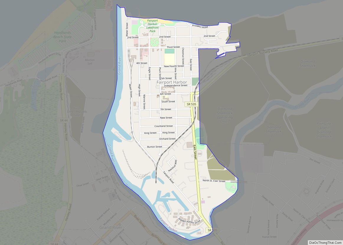
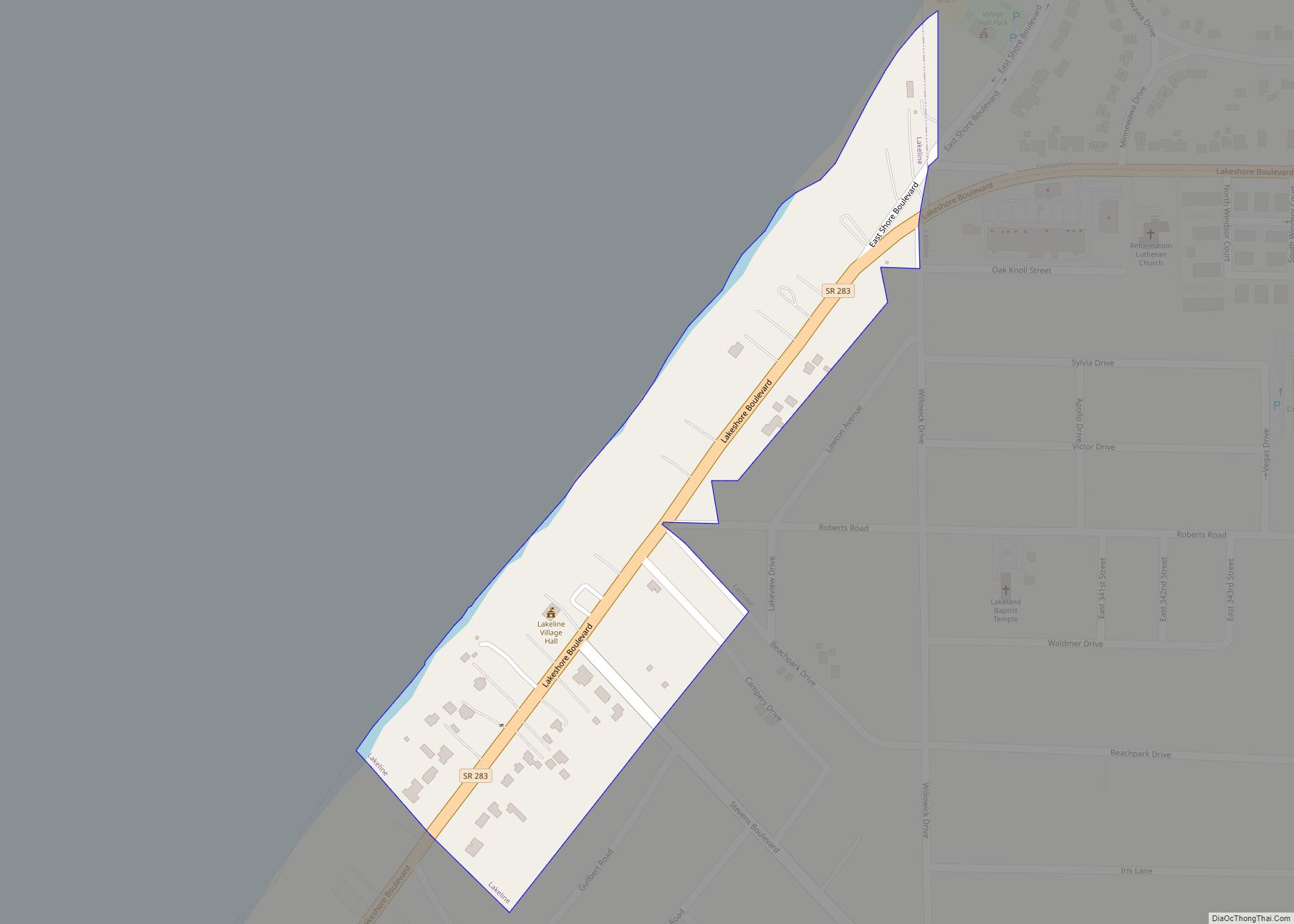
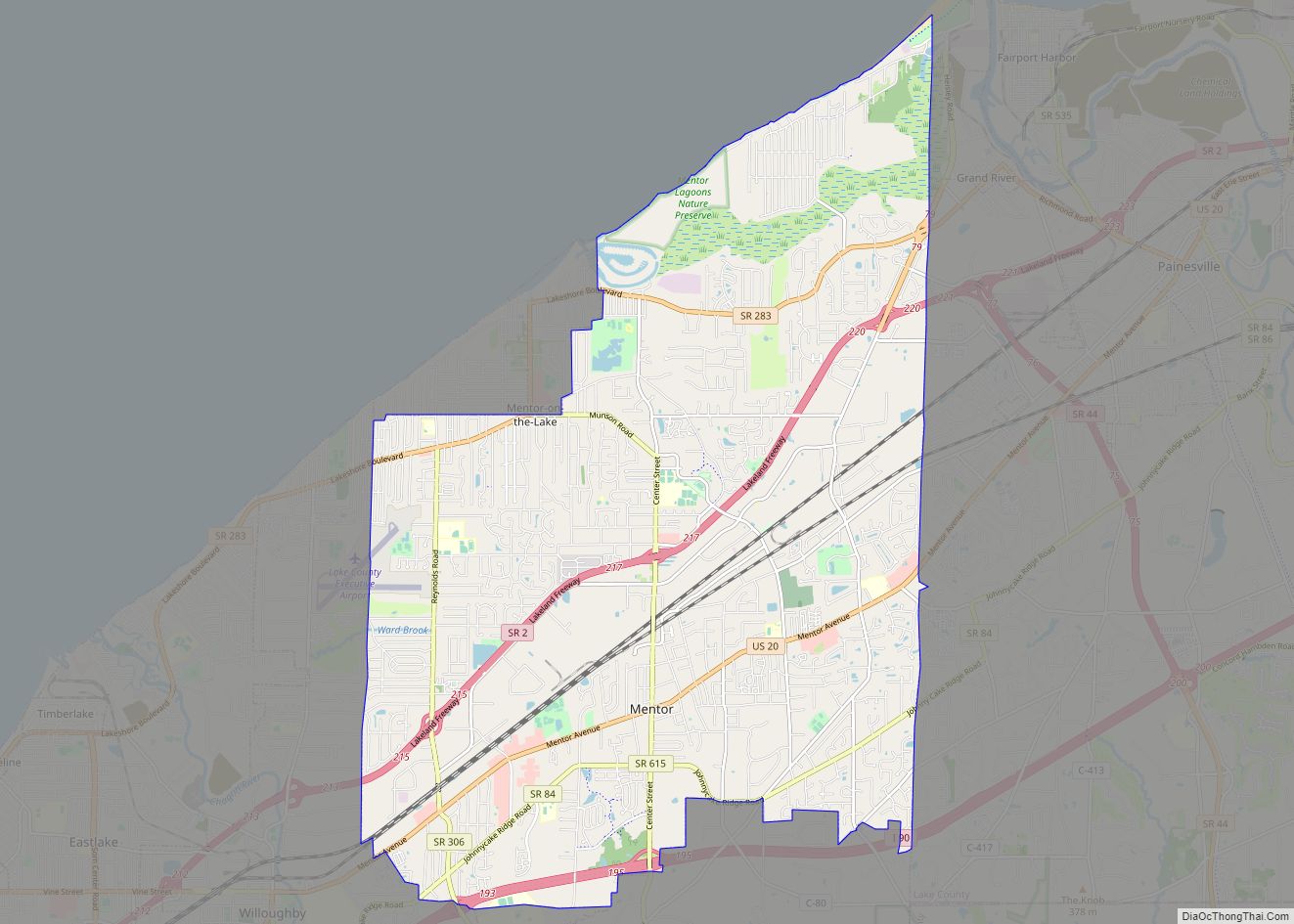
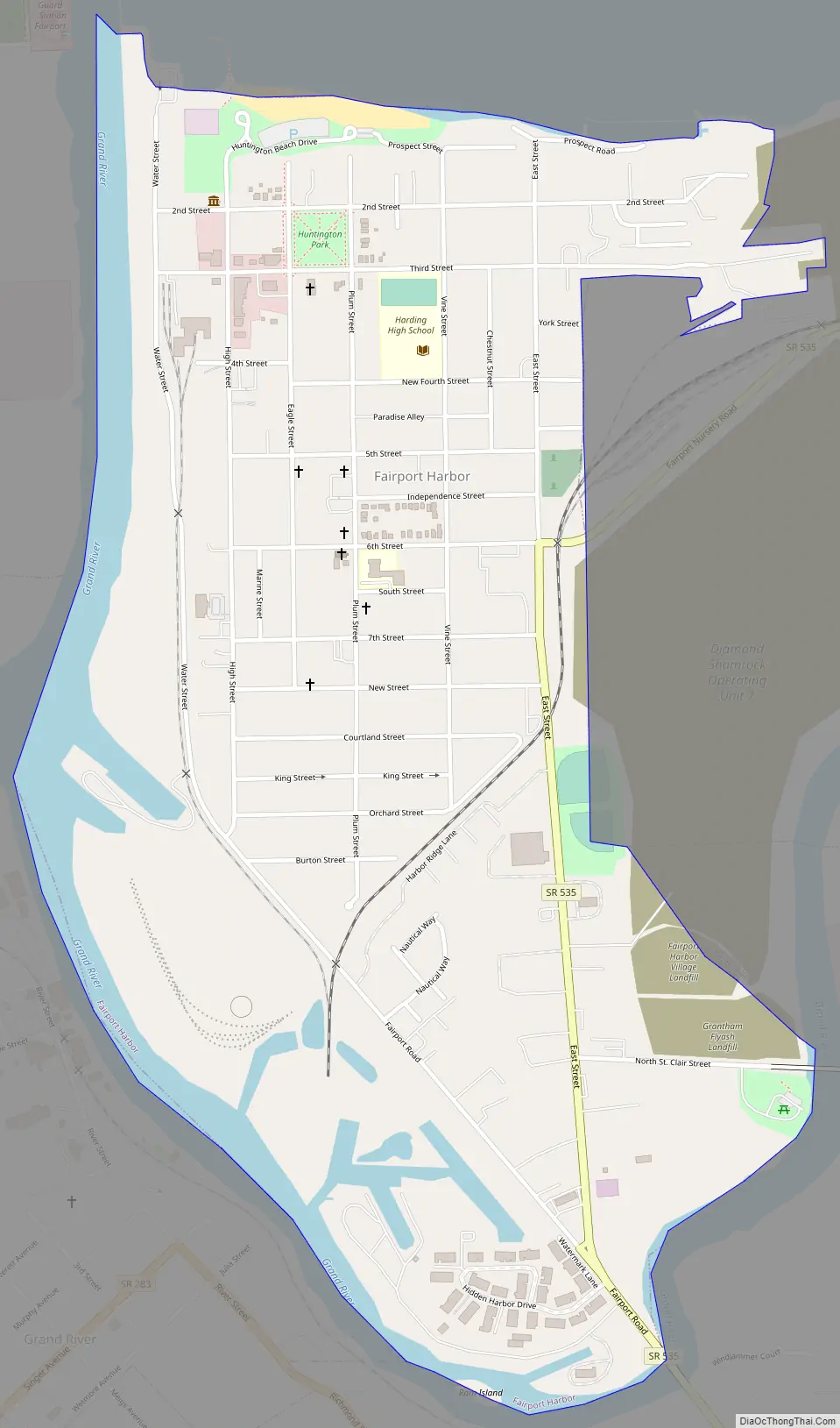
Fairport Harbor Road Map
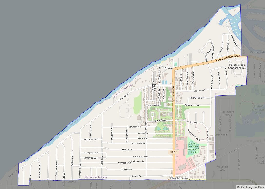
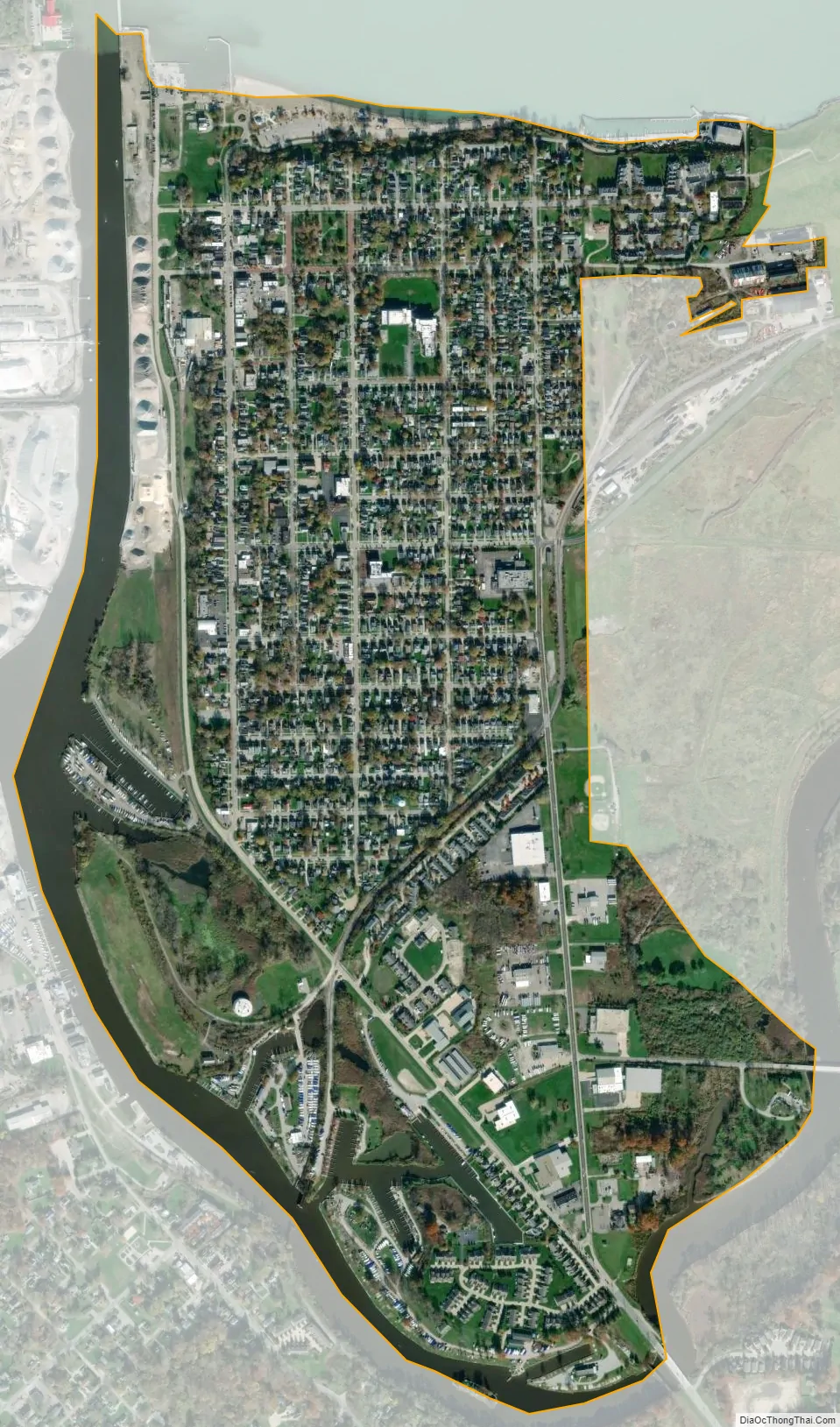
Fairport Harbor city Satellite Map
Geography
Fairport Harbor is located at 41°45′1″N 81°16′24″W / 41.75028°N 81.27333°W / 41.75028; -81.27333 (41.750302, -81.273198), within Painesville Township.
According to the United States Census Bureau, the village has a total area of 1.11 square miles (2.87 km), of which 1.03 square miles (2.67 km) are land and 0.08 square miles (0.21 km) are water.
See also
Map of Ohio State and its subdivision:- Adams
- Allen
- Ashland
- Ashtabula
- Athens
- Auglaize
- Belmont
- Brown
- Butler
- Carroll
- Champaign
- Clark
- Clermont
- Clinton
- Columbiana
- Coshocton
- Crawford
- Cuyahoga
- Darke
- Defiance
- Delaware
- Erie
- Fairfield
- Fayette
- Franklin
- Fulton
- Gallia
- Geauga
- Greene
- Guernsey
- Hamilton
- Hancock
- Hardin
- Harrison
- Henry
- Highland
- Hocking
- Holmes
- Huron
- Jackson
- Jefferson
- Knox
- Lake
- Lake Erie
- Lawrence
- Licking
- Logan
- Lorain
- Lucas
- Madison
- Mahoning
- Marion
- Medina
- Meigs
- Mercer
- Miami
- Monroe
- Montgomery
- Morgan
- Morrow
- Muskingum
- Noble
- Ottawa
- Paulding
- Perry
- Pickaway
- Pike
- Portage
- Preble
- Putnam
- Richland
- Ross
- Sandusky
- Scioto
- Seneca
- Shelby
- Stark
- Summit
- Trumbull
- Tuscarawas
- Union
- Van Wert
- Vinton
- Warren
- Washington
- Wayne
- Williams
- Wood
- Wyandot
- Alabama
- Alaska
- Arizona
- Arkansas
- California
- Colorado
- Connecticut
- Delaware
- District of Columbia
- Florida
- Georgia
- Hawaii
- Idaho
- Illinois
- Indiana
- Iowa
- Kansas
- Kentucky
- Louisiana
- Maine
- Maryland
- Massachusetts
- Michigan
- Minnesota
- Mississippi
- Missouri
- Montana
- Nebraska
- Nevada
- New Hampshire
- New Jersey
- New Mexico
- New York
- North Carolina
- North Dakota
- Ohio
- Oklahoma
- Oregon
- Pennsylvania
- Rhode Island
- South Carolina
- South Dakota
- Tennessee
- Texas
- Utah
- Vermont
- Virginia
- Washington
- West Virginia
- Wisconsin
- Wyoming