Fletcher is a village in Miami County, Ohio, United States. The population was 473 at the 2010 census. It is part of the Dayton Metropolitan Statistical Area.
| Name: | Fletcher village |
|---|---|
| LSAD Code: | 47 |
| LSAD Description: | village (suffix) |
| State: | Ohio |
| County: | Miami County |
| Elevation: | 1,043 ft (318 m) |
| Total Area: | 0.31 sq mi (0.80 km²) |
| Land Area: | 0.31 sq mi (0.80 km²) |
| Water Area: | 0.00 sq mi (0.00 km²) |
| Total Population: | 451 |
| Population Density: | 1,450.16/sq mi (560.32/km²) |
| ZIP code: | 45326 |
| Area code: | 937, 326 |
| FIPS code: | 3927412 |
| GNISfeature ID: | 1048741 |
| Website: | https://fletcherohio.us/ |
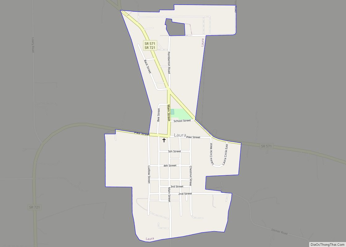
Online Interactive Map
Click on ![]() to view map in "full screen" mode.
to view map in "full screen" mode.
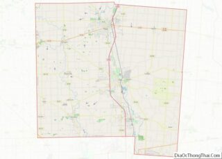
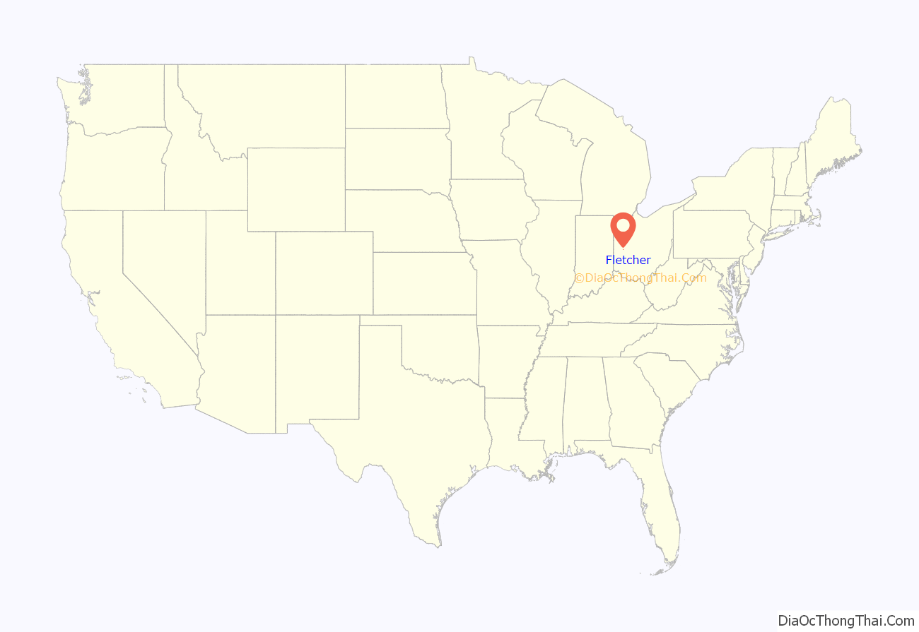
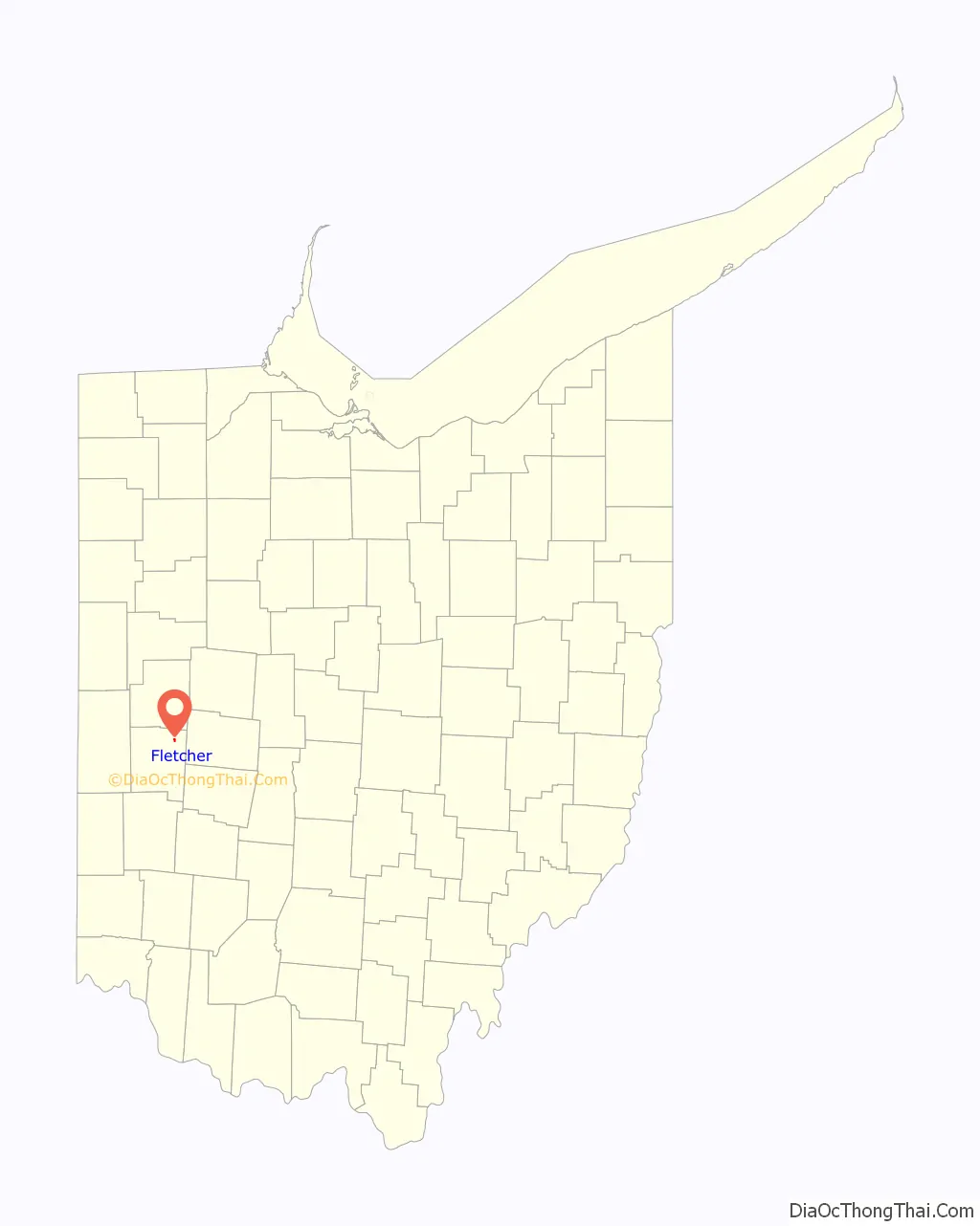
Fletcher location map. Where is Fletcher village?
History
Fletcher was platted in 1830. The village was named after Samuel Fletcher, a local storekeeper. The post office that had been in operation at Fletcher since 1831 closed in 2010.
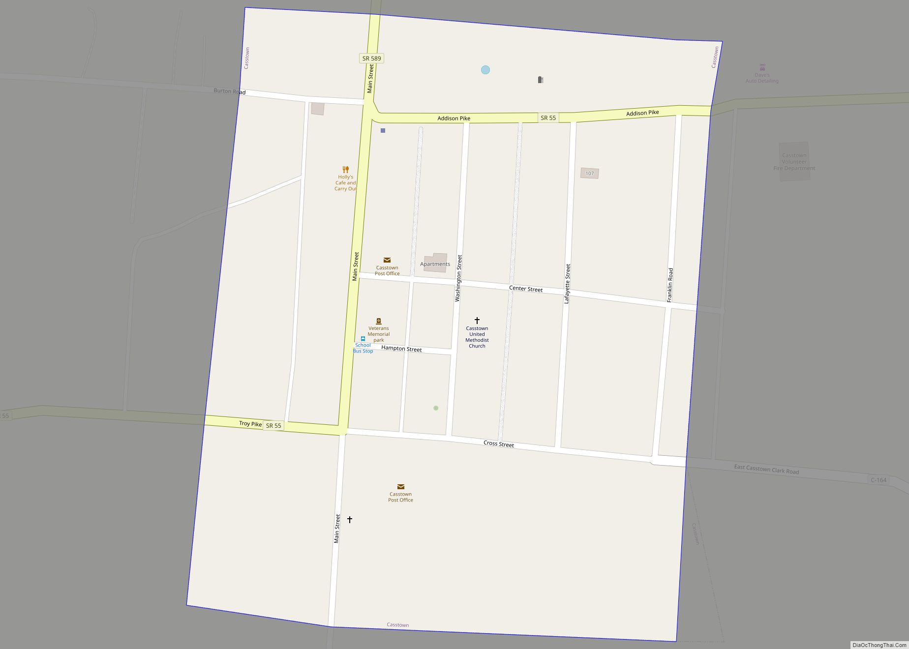
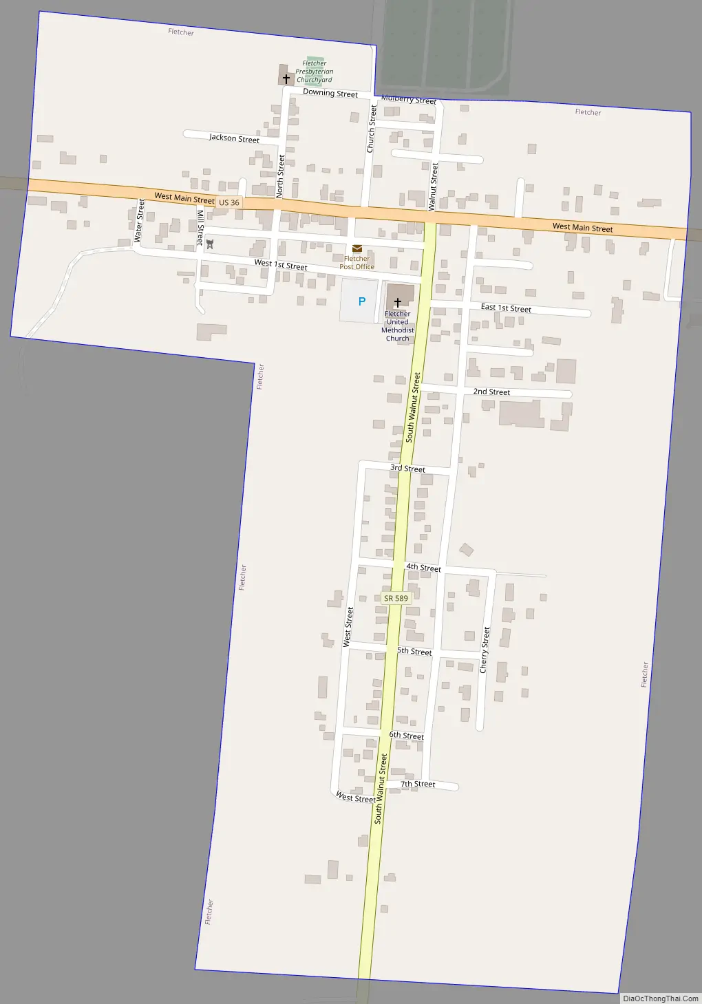
Fletcher Road Map
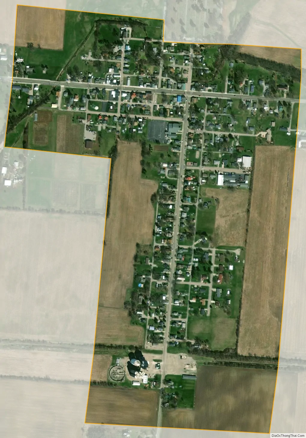
Fletcher city Satellite Map
Geography
Fletcher is located at 40°8′39″N 84°6′42″W / 40.14417°N 84.11167°W / 40.14417; -84.11167 (40.144266, -84.111725).
According to the United States Census Bureau, the village has a total area of 0.31 square miles (0.80 km), all land. Fletcher is drained by East Branch Lost Creek and West Branch Lost Creek.
The village is crossed by U.S. Route 36 and State Route 589.
See also
Map of Ohio State and its subdivision:- Adams
- Allen
- Ashland
- Ashtabula
- Athens
- Auglaize
- Belmont
- Brown
- Butler
- Carroll
- Champaign
- Clark
- Clermont
- Clinton
- Columbiana
- Coshocton
- Crawford
- Cuyahoga
- Darke
- Defiance
- Delaware
- Erie
- Fairfield
- Fayette
- Franklin
- Fulton
- Gallia
- Geauga
- Greene
- Guernsey
- Hamilton
- Hancock
- Hardin
- Harrison
- Henry
- Highland
- Hocking
- Holmes
- Huron
- Jackson
- Jefferson
- Knox
- Lake
- Lake Erie
- Lawrence
- Licking
- Logan
- Lorain
- Lucas
- Madison
- Mahoning
- Marion
- Medina
- Meigs
- Mercer
- Miami
- Monroe
- Montgomery
- Morgan
- Morrow
- Muskingum
- Noble
- Ottawa
- Paulding
- Perry
- Pickaway
- Pike
- Portage
- Preble
- Putnam
- Richland
- Ross
- Sandusky
- Scioto
- Seneca
- Shelby
- Stark
- Summit
- Trumbull
- Tuscarawas
- Union
- Van Wert
- Vinton
- Warren
- Washington
- Wayne
- Williams
- Wood
- Wyandot
- Alabama
- Alaska
- Arizona
- Arkansas
- California
- Colorado
- Connecticut
- Delaware
- District of Columbia
- Florida
- Georgia
- Hawaii
- Idaho
- Illinois
- Indiana
- Iowa
- Kansas
- Kentucky
- Louisiana
- Maine
- Maryland
- Massachusetts
- Michigan
- Minnesota
- Mississippi
- Missouri
- Montana
- Nebraska
- Nevada
- New Hampshire
- New Jersey
- New Mexico
- New York
- North Carolina
- North Dakota
- Ohio
- Oklahoma
- Oregon
- Pennsylvania
- Rhode Island
- South Carolina
- South Dakota
- Tennessee
- Texas
- Utah
- Vermont
- Virginia
- Washington
- West Virginia
- Wisconsin
- Wyoming