Forest is a village in Hardin and Wyandot counties in the U.S. state of Ohio. The population was 1,461 at the 2010 census.
| Name: | Forest village |
|---|---|
| LSAD Code: | 47 |
| LSAD Description: | village (suffix) |
| State: | Ohio |
| County: | Hardin County, Wyandot County |
| Elevation: | 932 ft (284 m) |
| Total Area: | 1.44 sq mi (3.74 km²) |
| Land Area: | 1.44 sq mi (3.74 km²) |
| Water Area: | 0.00 sq mi (0.00 km²) |
| Total Population: | 1,350 |
| Population Density: | 934.90/sq mi (360.97/km²) |
| ZIP code: | 45843 |
| Area code: | 419 |
| FIPS code: | 3927636 |
| GNISfeature ID: | 1048744 |
| Website: | www.villageofforest.com |
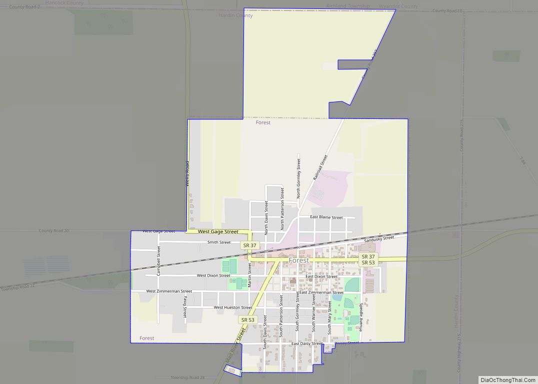
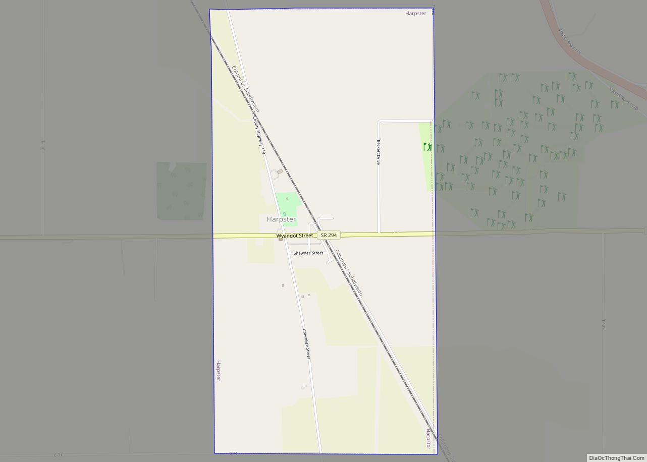
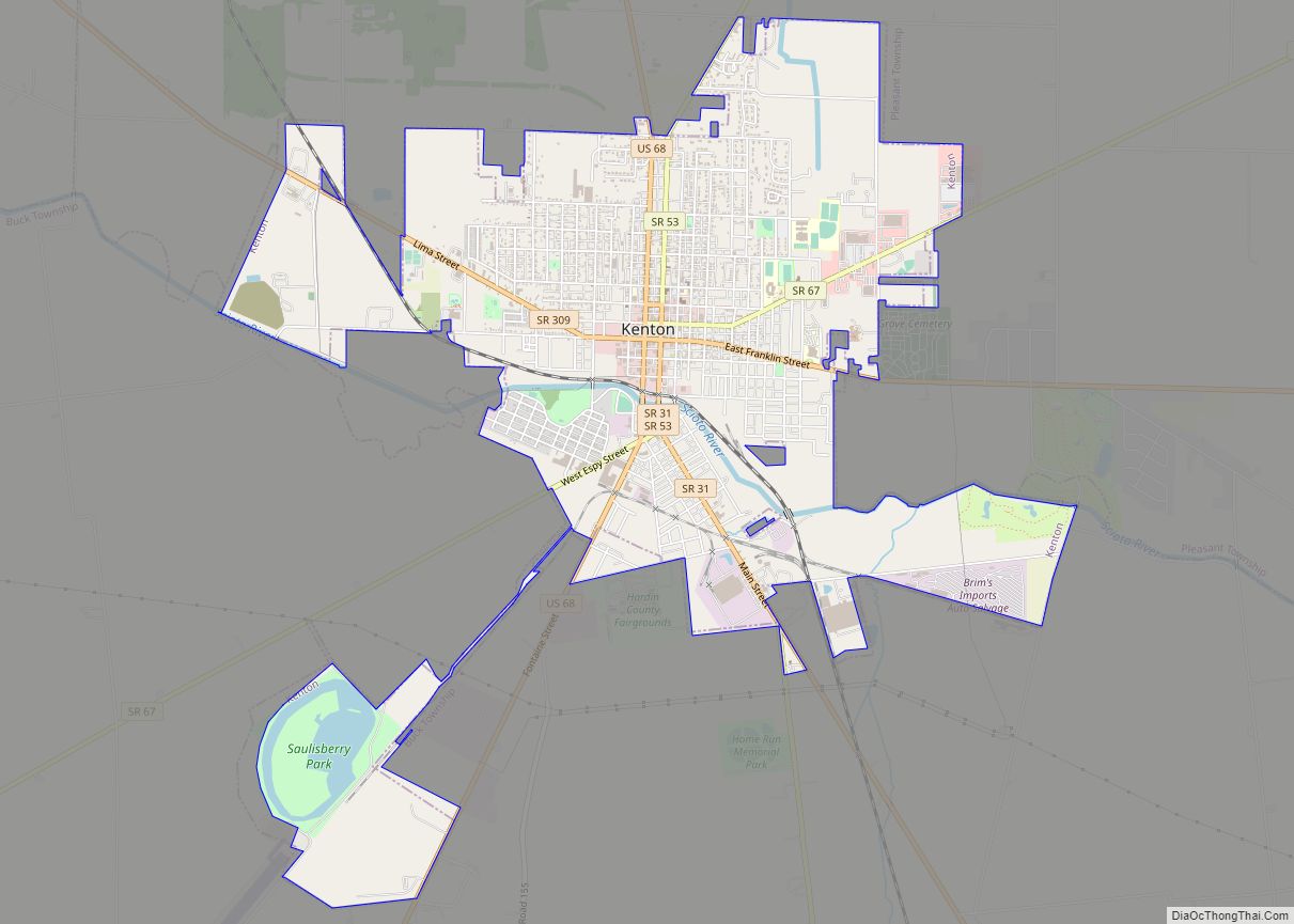
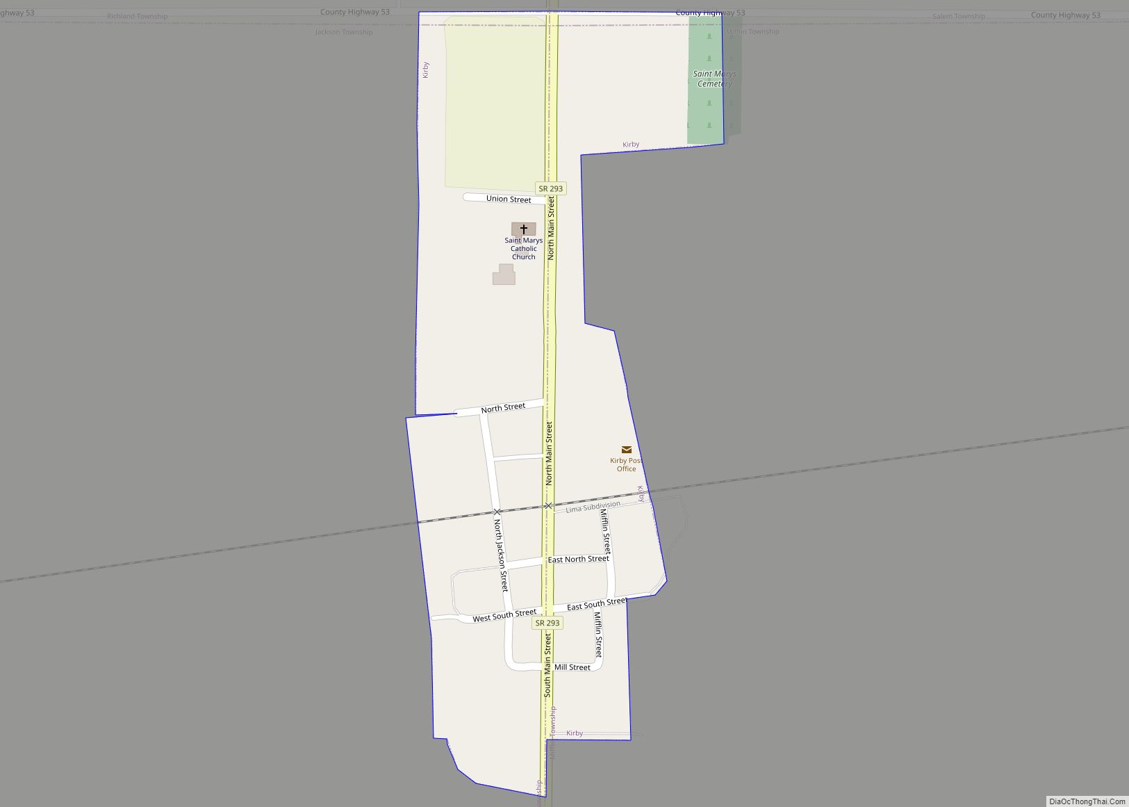
Online Interactive Map
Click on ![]() to view map in "full screen" mode.
to view map in "full screen" mode.
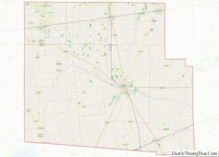
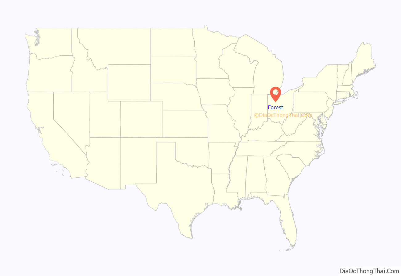
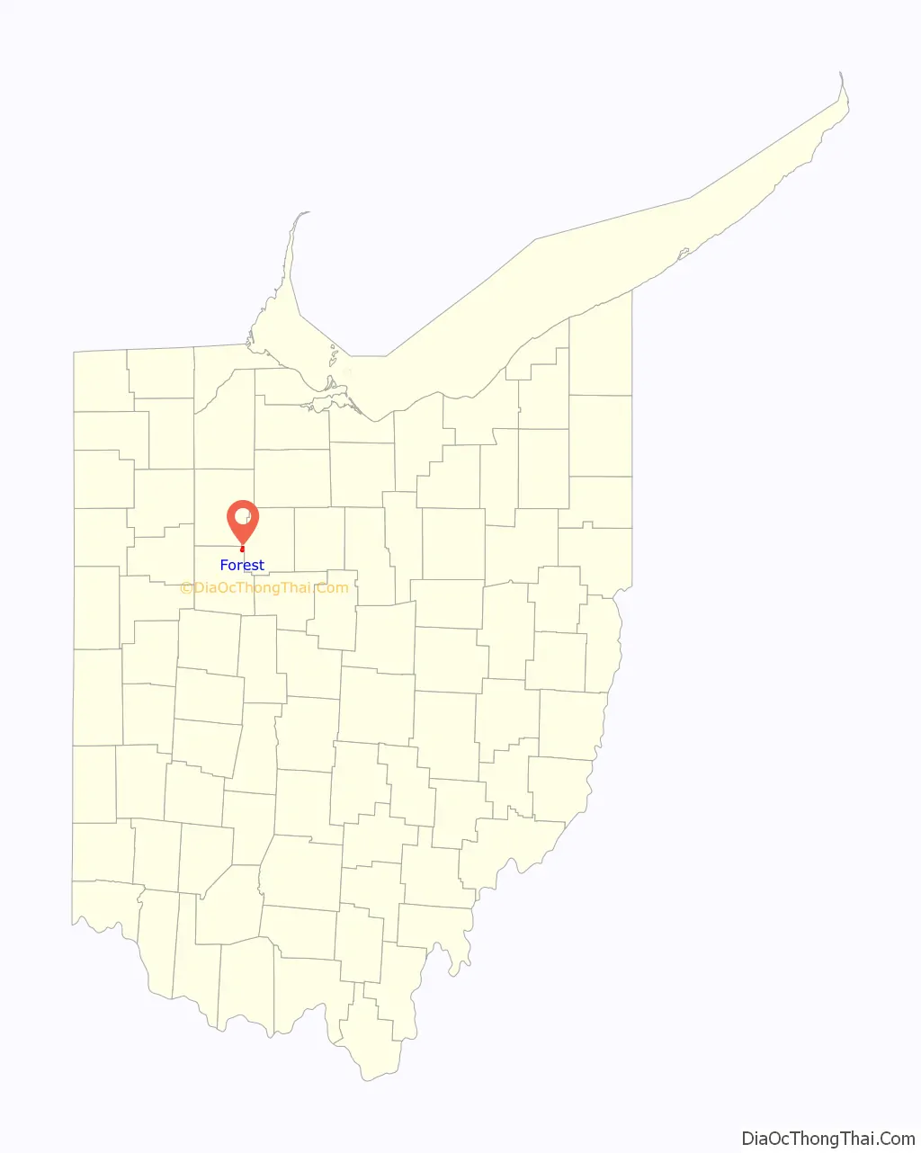
Forest location map. Where is Forest village?
History
A post office has been in operation at Forest since 1854. Forest was platted in 1855 when the railroad was extended to that point. The village most likely was named for the fact the original town site was a forest. Forest was incorporated in 1865.
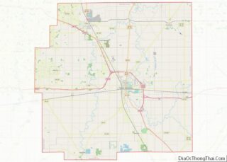
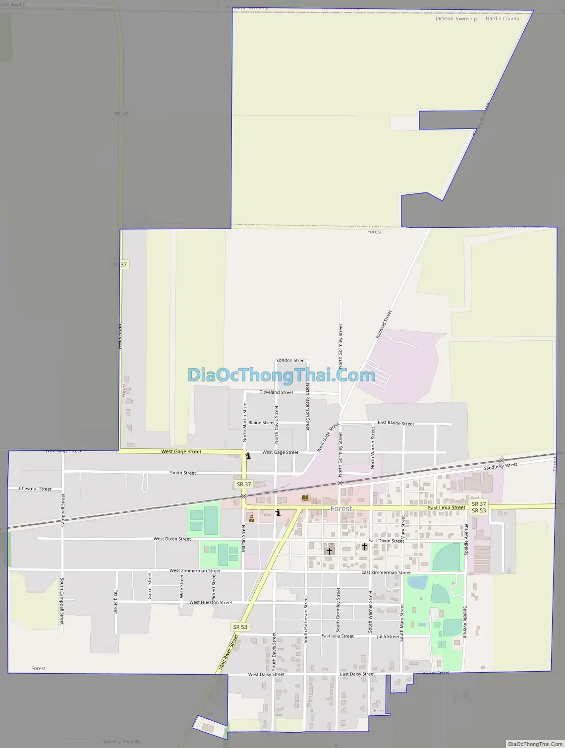
Forest Road Map
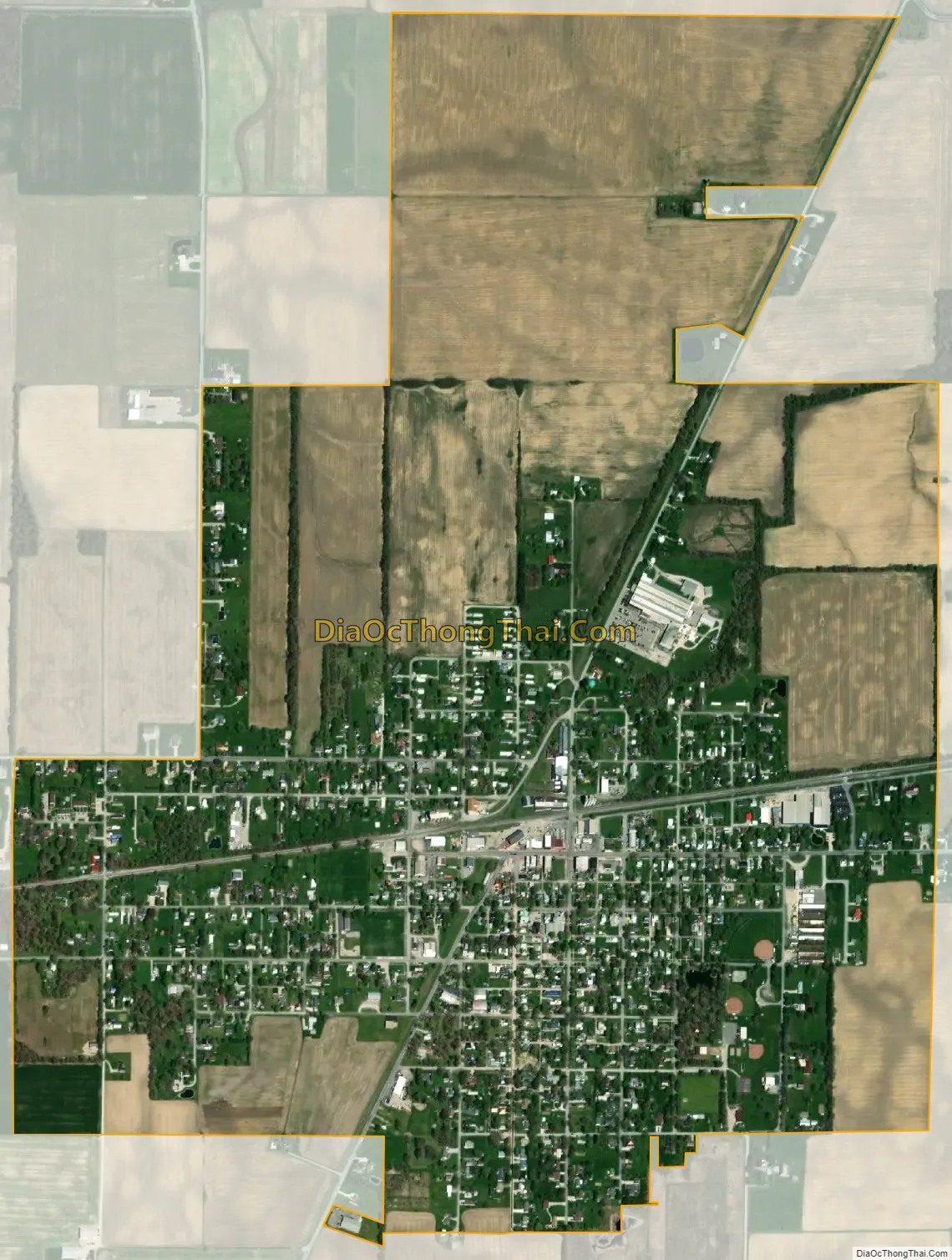
Forest city Satellite Map
Geography
Forest is located at 40°48′3″N 83°30′45″W / 40.80083°N 83.51250°W / 40.80083; -83.51250 (40.800818, -83.512403).
According to the United States Census Bureau, the village has a total area of 1.61 square miles (4.17 km), all land.
See also
Map of Ohio State and its subdivision:- Adams
- Allen
- Ashland
- Ashtabula
- Athens
- Auglaize
- Belmont
- Brown
- Butler
- Carroll
- Champaign
- Clark
- Clermont
- Clinton
- Columbiana
- Coshocton
- Crawford
- Cuyahoga
- Darke
- Defiance
- Delaware
- Erie
- Fairfield
- Fayette
- Franklin
- Fulton
- Gallia
- Geauga
- Greene
- Guernsey
- Hamilton
- Hancock
- Hardin
- Harrison
- Henry
- Highland
- Hocking
- Holmes
- Huron
- Jackson
- Jefferson
- Knox
- Lake
- Lake Erie
- Lawrence
- Licking
- Logan
- Lorain
- Lucas
- Madison
- Mahoning
- Marion
- Medina
- Meigs
- Mercer
- Miami
- Monroe
- Montgomery
- Morgan
- Morrow
- Muskingum
- Noble
- Ottawa
- Paulding
- Perry
- Pickaway
- Pike
- Portage
- Preble
- Putnam
- Richland
- Ross
- Sandusky
- Scioto
- Seneca
- Shelby
- Stark
- Summit
- Trumbull
- Tuscarawas
- Union
- Van Wert
- Vinton
- Warren
- Washington
- Wayne
- Williams
- Wood
- Wyandot
- Alabama
- Alaska
- Arizona
- Arkansas
- California
- Colorado
- Connecticut
- Delaware
- District of Columbia
- Florida
- Georgia
- Hawaii
- Idaho
- Illinois
- Indiana
- Iowa
- Kansas
- Kentucky
- Louisiana
- Maine
- Maryland
- Massachusetts
- Michigan
- Minnesota
- Mississippi
- Missouri
- Montana
- Nebraska
- Nevada
- New Hampshire
- New Jersey
- New Mexico
- New York
- North Carolina
- North Dakota
- Ohio
- Oklahoma
- Oregon
- Pennsylvania
- Rhode Island
- South Carolina
- South Dakota
- Tennessee
- Texas
- Utah
- Vermont
- Virginia
- Washington
- West Virginia
- Wisconsin
- Wyoming