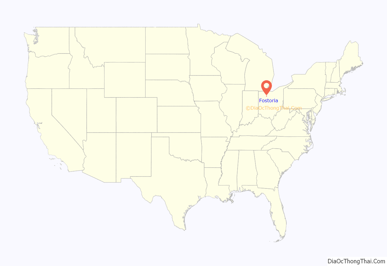
Fostoria (/fɒsˈtʊəriːə/, foss-TORR-EE-ə) is a city located at the convergence of Hancock, Seneca, and Wood counties in the northwestern part of the U.S. state of Ohio. It is approximately 40 miles (64 km) south of Toledo and 90 miles (140 km) north of Columbus.
The city is known for its railroads, as approximately 100 trains pass through the city each day. The city is often visited by railfans, and a railroad viewing park, constructed in 2013 (dedicated 14 November 2013) hosts many railfans every day in a purpose-built viewing platform. Fostoria was also the home for over a dozen glass factories during the end of the 19th century. The glass factories were established in Fostoria because of the discovery of natural gas in the area. As the gas supply became depleted, many of the factories closed or moved—including the Fostoria Glass Company. Fostoria’s most famous citizen is Charles Foster (son of the man who helped establish Fostoria), who became governor of Ohio.
The community grew substantially during the end of the 19th century, coinciding with the northwest Ohio gas boom. Typical of Rust Belt cities, Fostoria peaked in size in 1970. The population was 13,046 at the 2020 Census, slightly down from 13,441 at the 2010 Census.
| Name: | Fostoria city |
|---|---|
| LSAD Code: | 25 |
| LSAD Description: | city (suffix) |
| State: | Ohio |
| County: | Hancock County, Seneca County, Wood County |
| Elevation: | 781 ft (238 m) |
| Total Area: | 7.79 sq mi (20.18 km²) |
| Land Area: | 7.57 sq mi (19.62 km²) |
| Water Area: | 0.22 sq mi (0.56 km²) |
| Total Population: | 13,046 |
| Population Density: | 1,722.47/sq mi (665.05/km²) |
| ZIP code: | 44830 |
| Area code: | 419, 567 |
| FIPS code: | 3928014 |
| GNISfeature ID: | 1064668 |
| Website: | www.fostoriaohio.gov |
Online Interactive Map
Click on ![]() to view map in "full screen" mode.
to view map in "full screen" mode.
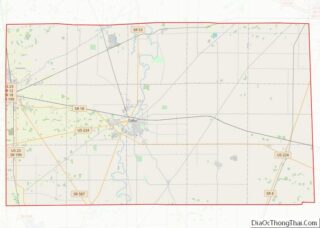
Fostoria location map. Where is Fostoria city?
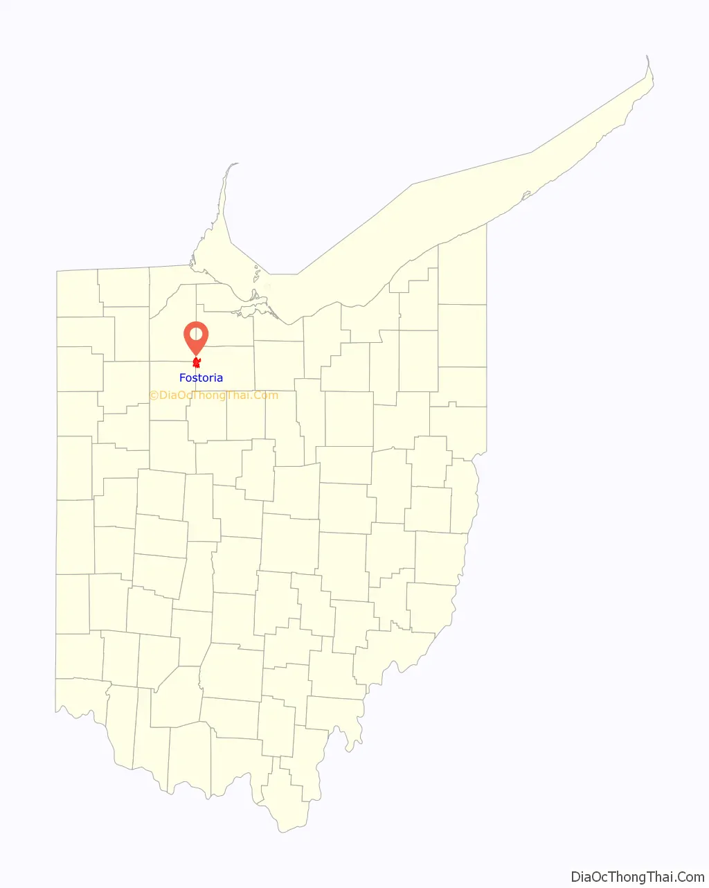
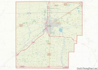
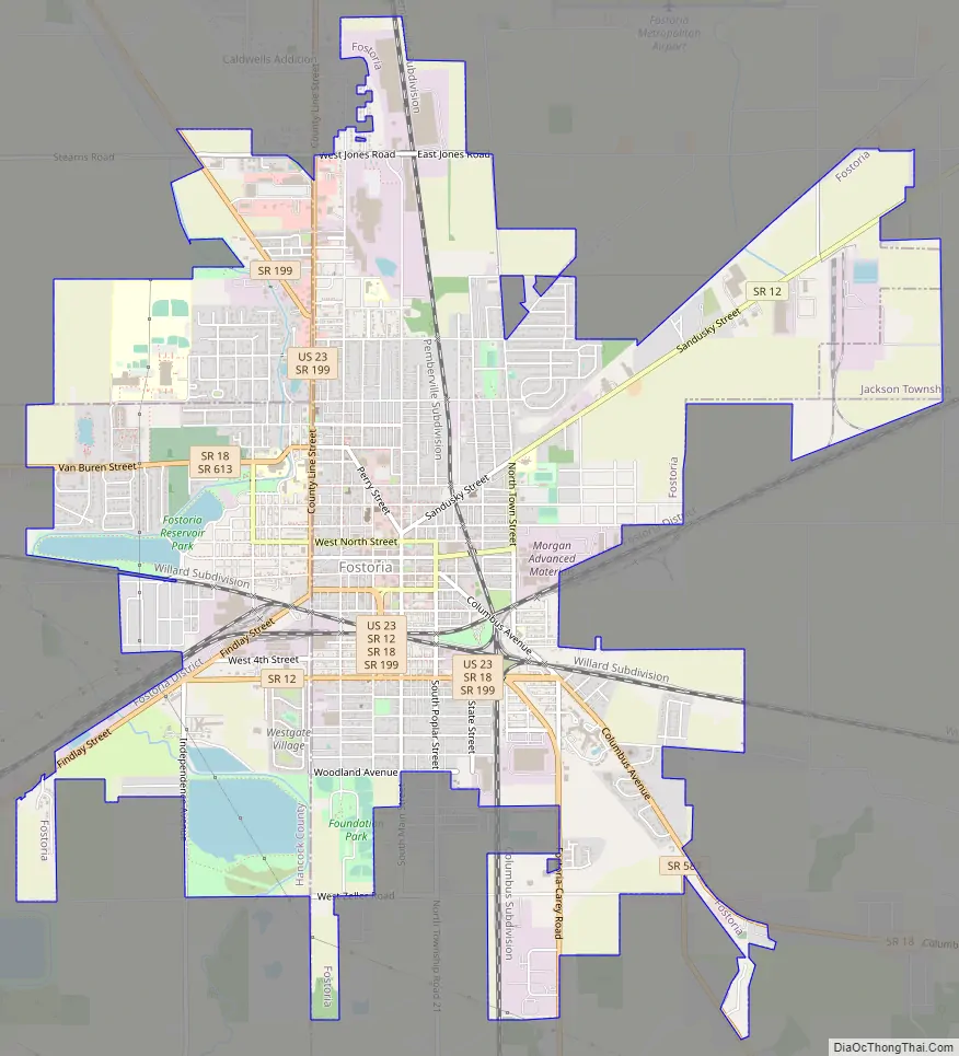
Fostoria Road Map
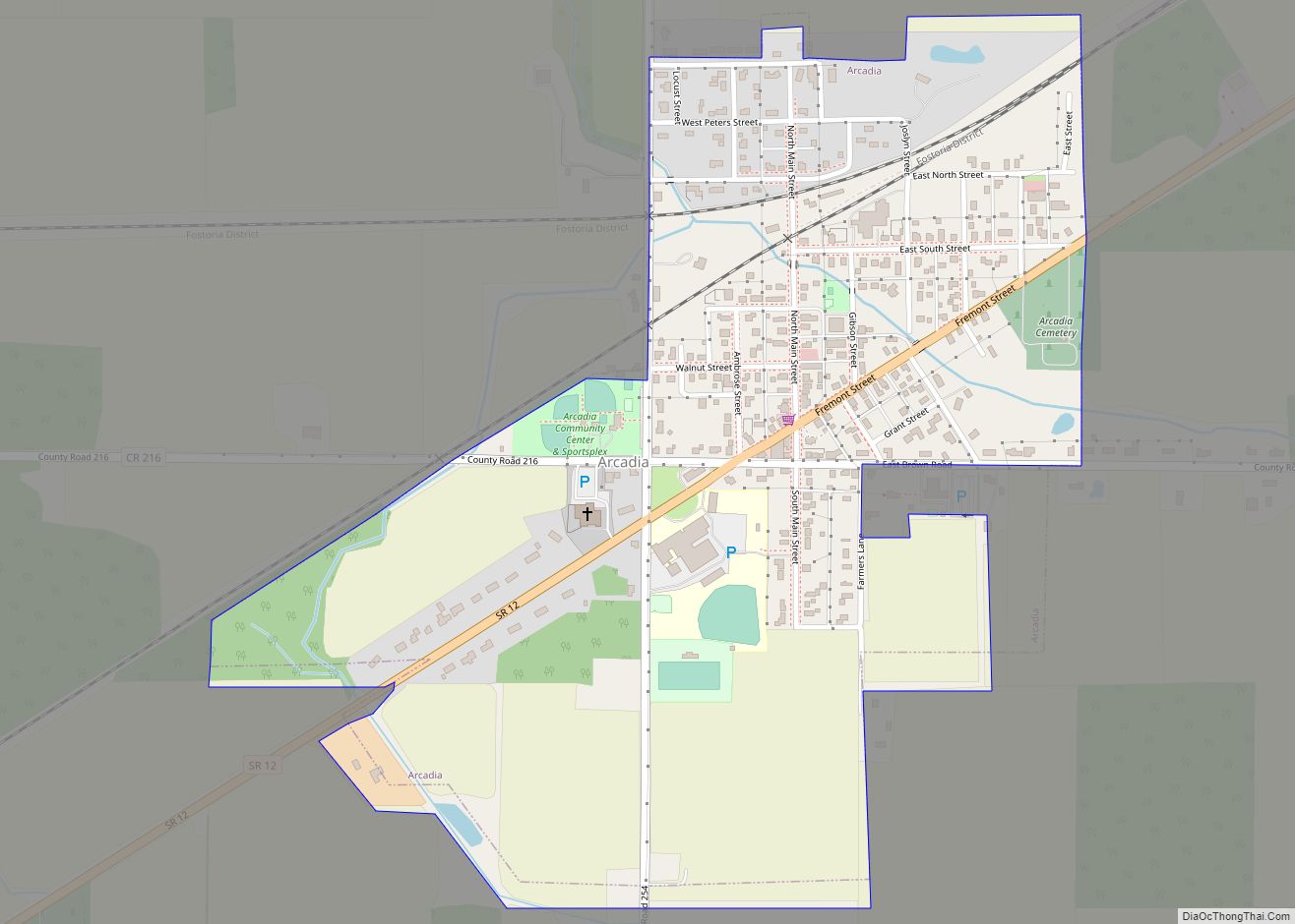
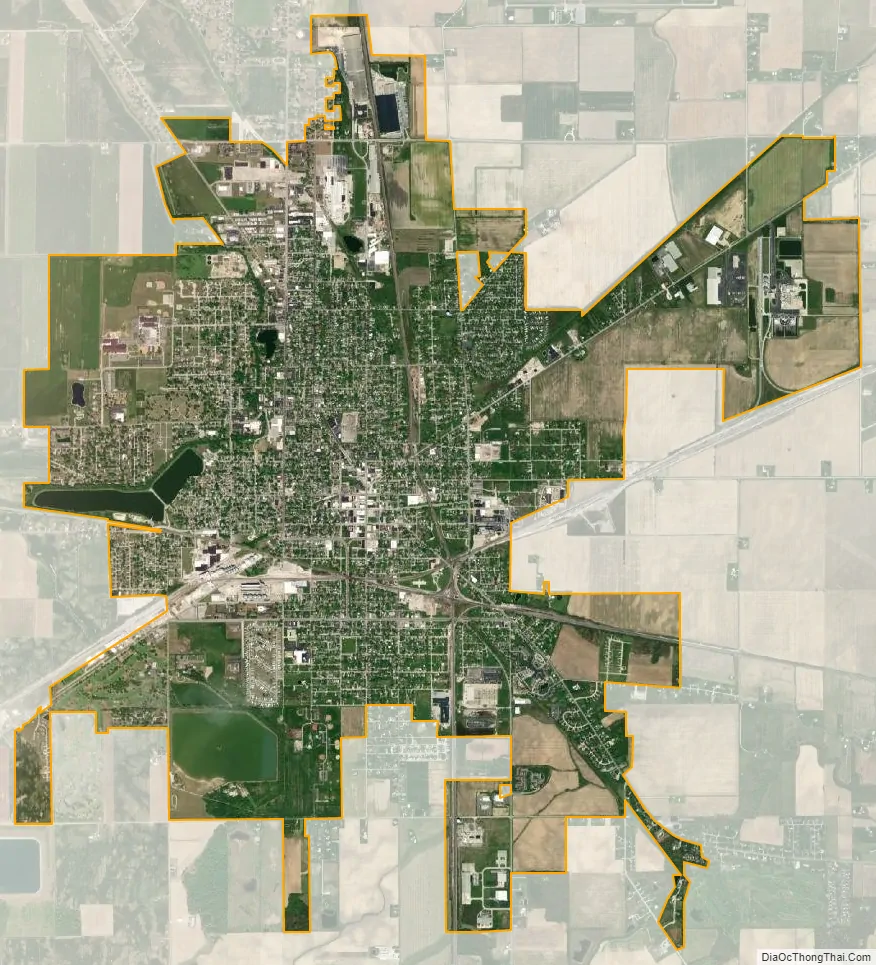
Fostoria city Satellite Map
Geography
Fostoria is located at 41°9′33″N 83°24′55″W / 41.15917°N 83.41528°W / 41.15917; -83.41528 (41.159243, -83.415239).
According to the United States Census Bureau, the city has a total area of 7.77 square miles (20.12 km), of which 7.55 square miles (19.55 km) is land and 0.22 square miles (0.57 km) is water.
Public water system
The City of Fostoria operates a community public water system that serves a population of approximately 15,000 people and has 5,500 metered service connections. The City of Fostoria also provides water to the Village of Arcadia with a population of 537.
The water treatment system obtains its water from the East Branch of the Portage River. Most of the water is stored in six upground reservoirs. The system also has three groundwater wells that currently serve as the back-up source for the city. Plant design capacity is 6.08 million gallons per day, but current average production is about 2.2 million gallons per day.
Water from the East Branch of the Portage River is pumped into Fostoria’s six upground reservoirs.
See also
Map of Ohio State and its subdivision:- Adams
- Allen
- Ashland
- Ashtabula
- Athens
- Auglaize
- Belmont
- Brown
- Butler
- Carroll
- Champaign
- Clark
- Clermont
- Clinton
- Columbiana
- Coshocton
- Crawford
- Cuyahoga
- Darke
- Defiance
- Delaware
- Erie
- Fairfield
- Fayette
- Franklin
- Fulton
- Gallia
- Geauga
- Greene
- Guernsey
- Hamilton
- Hancock
- Hardin
- Harrison
- Henry
- Highland
- Hocking
- Holmes
- Huron
- Jackson
- Jefferson
- Knox
- Lake
- Lake Erie
- Lawrence
- Licking
- Logan
- Lorain
- Lucas
- Madison
- Mahoning
- Marion
- Medina
- Meigs
- Mercer
- Miami
- Monroe
- Montgomery
- Morgan
- Morrow
- Muskingum
- Noble
- Ottawa
- Paulding
- Perry
- Pickaway
- Pike
- Portage
- Preble
- Putnam
- Richland
- Ross
- Sandusky
- Scioto
- Seneca
- Shelby
- Stark
- Summit
- Trumbull
- Tuscarawas
- Union
- Van Wert
- Vinton
- Warren
- Washington
- Wayne
- Williams
- Wood
- Wyandot
- Alabama
- Alaska
- Arizona
- Arkansas
- California
- Colorado
- Connecticut
- Delaware
- District of Columbia
- Florida
- Georgia
- Hawaii
- Idaho
- Illinois
- Indiana
- Iowa
- Kansas
- Kentucky
- Louisiana
- Maine
- Maryland
- Massachusetts
- Michigan
- Minnesota
- Mississippi
- Missouri
- Montana
- Nebraska
- Nevada
- New Hampshire
- New Jersey
- New Mexico
- New York
- North Carolina
- North Dakota
- Ohio
- Oklahoma
- Oregon
- Pennsylvania
- Rhode Island
- South Carolina
- South Dakota
- Tennessee
- Texas
- Utah
- Vermont
- Virginia
- Washington
- West Virginia
- Wisconsin
- Wyoming