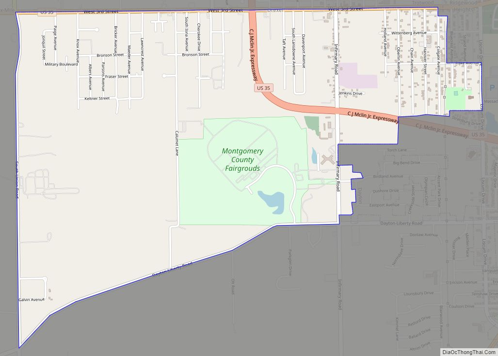
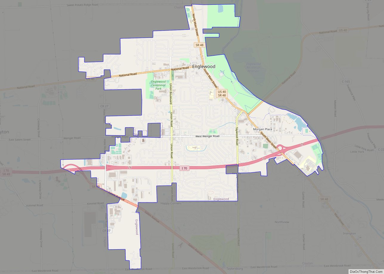
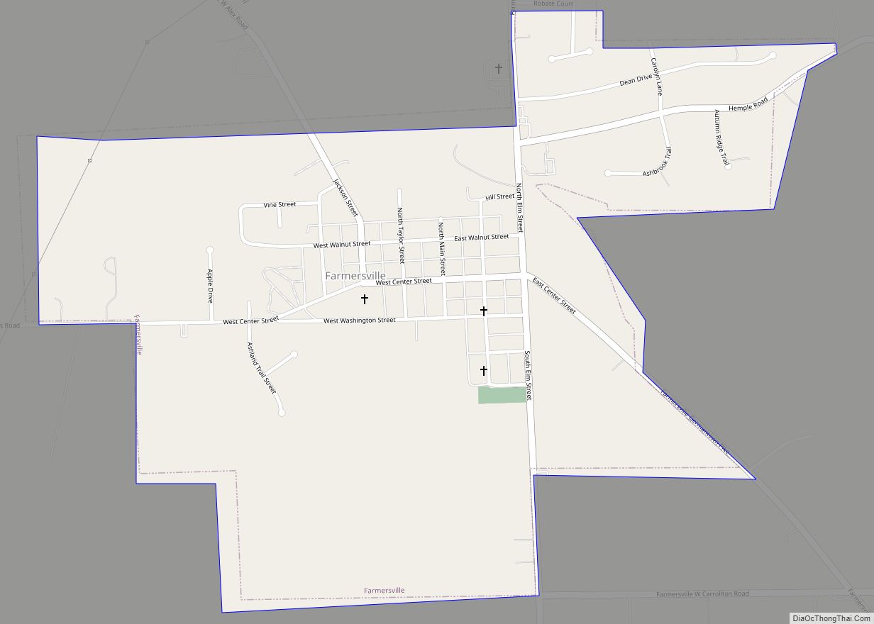
Germantown is a city in Montgomery County, Ohio, United States. The population was 5,796 at the 2020 census. A part of the Dayton metropolitan area, Germantown was founded by German Americans from Pennsylvania and was once home to a cigar industry.
| Name: | Germantown city |
|---|---|
| LSAD Code: | 25 |
| LSAD Description: | city (suffix) |
| State: | Ohio |
| County: | Montgomery County |
| Founded: | 1814 |
| Incorporated: | 1833 |
| Elevation: | 722 ft (220 m) |
| Total Area: | 4.22 sq mi (10.93 km²) |
| Land Area: | 4.22 sq mi (10.93 km²) |
| Water Area: | 0.00 sq mi (0.00 km²) |
| Total Population: | 5,796 |
| Population Density: | 1,372.81/sq mi (530.10/km²) |
| ZIP code: | 45325, 45327 |
| Area code: | 937, 326 |
| FIPS code: | 3929932 |
| GNISfeature ID: | 1064716 |
| Website: | http://www.germantown.oh.us/ |
Online Interactive Map
Click on ![]() to view map in "full screen" mode.
to view map in "full screen" mode.
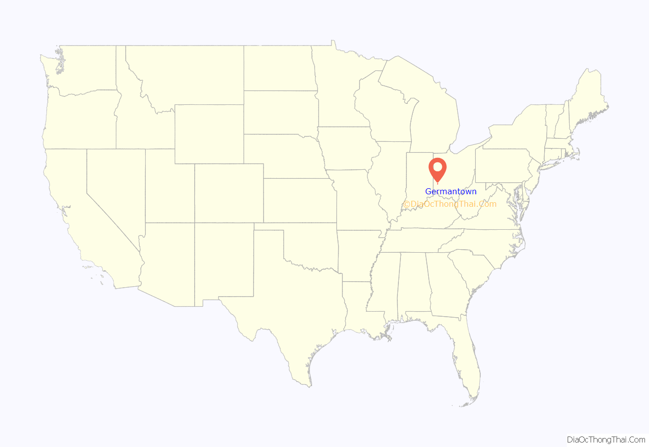
Germantown location map. Where is Germantown city?
History
Germantown was established in 1804 by German-speaking settlers from Berks County, Pennsylvania. Philip Gunckel, the only member of the group who spoke English, is recognized as Germantown’s founder, who chose the site for a grist mill and laid out the original town plan in 1814. The Gunckel Town Plan, maintaining many of its original 19th and early 20th century buildings, has been recognized as a Historic District and has been placed on the National Register of Historic Places.
Germantown underwent many economic changes as distilleries, and the cigar industry, both came and went. In 1847 the Mudlick Distillery was established and, with an output of 30 barrels of whiskey a day, was considered the largest in the country for many years. At one time the Municipality housed up to 12 cigar warehouses and five factories, with the tobacco industry employing many residents up until the 1970s.
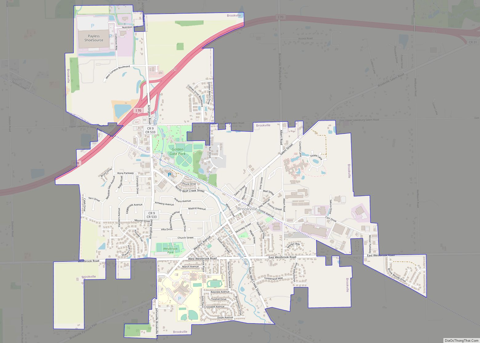
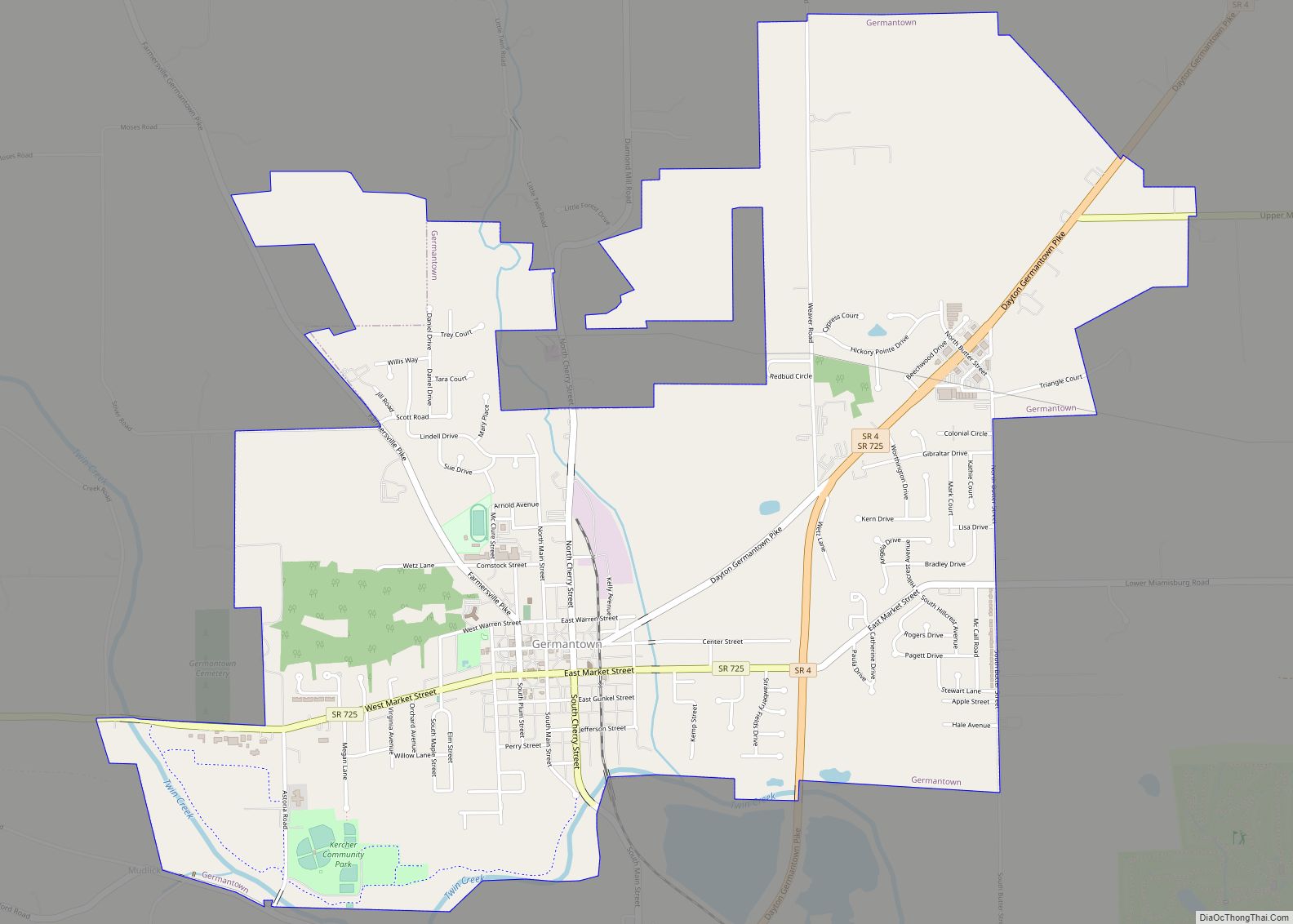
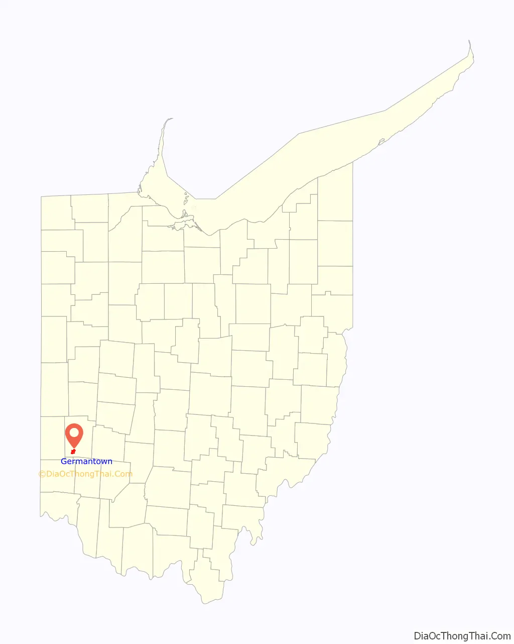
Germantown Road Map
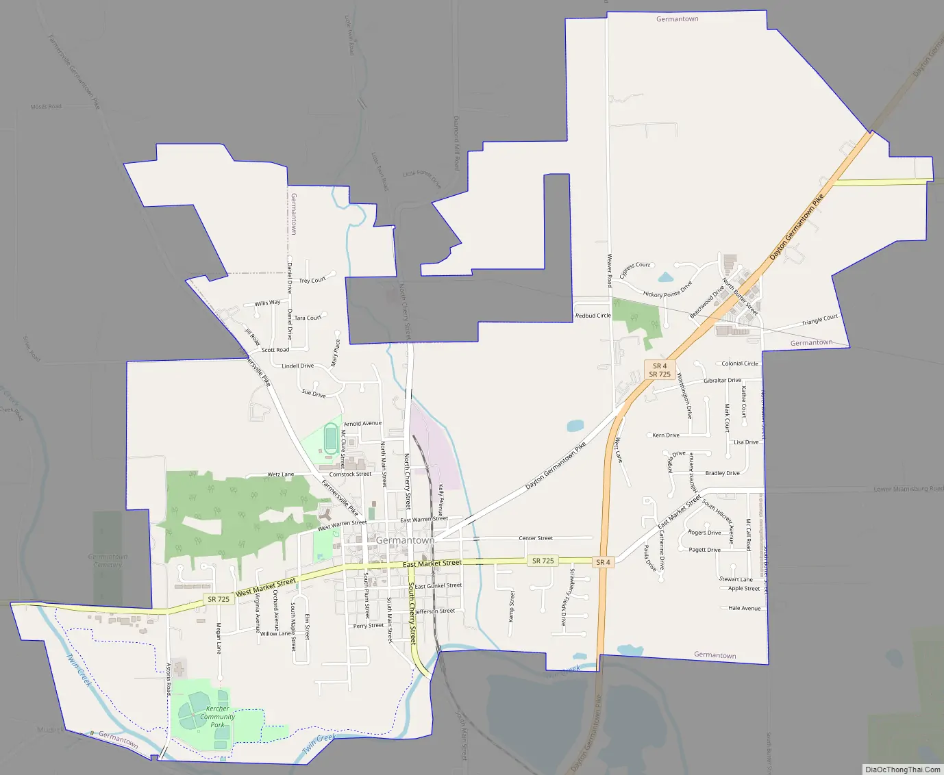
Germantown city Satellite Map

Geography
Germantown is situated within German Township, in the south-western part of Montgomery County, Ohio. The town is in an area known as the Twin Valley, due to the Little Twin Creek on its east side, and Big Twin on its west and south sides, being in the forks of these streams.
According to the United States Census Bureau, the village has a total area of 4.26 square miles (11.03 km), all land.
See also
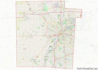
Map of Ohio State and its subdivision:- Adams
- Allen
- Ashland
- Ashtabula
- Athens
- Auglaize
- Belmont
- Brown
- Butler
- Carroll
- Champaign
- Clark
- Clermont
- Clinton
- Columbiana
- Coshocton
- Crawford
- Cuyahoga
- Darke
- Defiance
- Delaware
- Erie
- Fairfield
- Fayette
- Franklin
- Fulton
- Gallia
- Geauga
- Greene
- Guernsey
- Hamilton
- Hancock
- Hardin
- Harrison
- Henry
- Highland
- Hocking
- Holmes
- Huron
- Jackson
- Jefferson
- Knox
- Lake
- Lake Erie
- Lawrence
- Licking
- Logan
- Lorain
- Lucas
- Madison
- Mahoning
- Marion
- Medina
- Meigs
- Mercer
- Miami
- Monroe
- Montgomery
- Morgan
- Morrow
- Muskingum
- Noble
- Ottawa
- Paulding
- Perry
- Pickaway
- Pike
- Portage
- Preble
- Putnam
- Richland
- Ross
- Sandusky
- Scioto
- Seneca
- Shelby
- Stark
- Summit
- Trumbull
- Tuscarawas
- Union
- Van Wert
- Vinton
- Warren
- Washington
- Wayne
- Williams
- Wood
- Wyandot
- Alabama
- Alaska
- Arizona
- Arkansas
- California
- Colorado
- Connecticut
- Delaware
- District of Columbia
- Florida
- Georgia
- Hawaii
- Idaho
- Illinois
- Indiana
- Iowa
- Kansas
- Kentucky
- Louisiana
- Maine
- Maryland
- Massachusetts
- Michigan
- Minnesota
- Mississippi
- Missouri
- Montana
- Nebraska
- Nevada
- New Hampshire
- New Jersey
- New Mexico
- New York
- North Carolina
- North Dakota
- Ohio
- Oklahoma
- Oregon
- Pennsylvania
- Rhode Island
- South Carolina
- South Dakota
- Tennessee
- Texas
- Utah
- Vermont
- Virginia
- Washington
- West Virginia
- Wisconsin
- Wyoming