Grandview Heights, or simply Grandview, is a city in Franklin County, Ohio, United States. The population was 8,085 at the 2020 census.
The city was originally part of Marble Cliff, one of the first suburbs of Columbus, which settled as a community in 1890 and incorporated as the “Hamlet of Marble Cliff” in 1901. Grandview Heights became a separate village in 1906, and a city in 1931.
Grandview Heights maintains its own police and fire departments and an independent school district. Its neighbor, Marble Cliff, contracts with the city to provide these services to its own residents.
| Name: | Grandview Heights city |
|---|---|
| LSAD Code: | 25 |
| LSAD Description: | city (suffix) |
| State: | Ohio |
| County: | Franklin County |
| Elevation: | 774 ft (236 m) |
| Total Area: | 1.32 sq mi (3.42 km²) |
| Land Area: | 1.31 sq mi (3.41 km²) |
| Water Area: | 0.00 sq mi (0.01 km²) |
| Total Population: | 8,085 |
| Population Density: | 6,148.29/sq mi (2,374.43/km²) |
| ZIP code: | 43212 |
| Area code: | 614 and 380 |
| FIPS code: | 3931304 |
| GNISfeature ID: | 1048799 |
| Website: | www.grandviewheights.org |
Online Interactive Map
Click on ![]() to view map in "full screen" mode.
to view map in "full screen" mode.
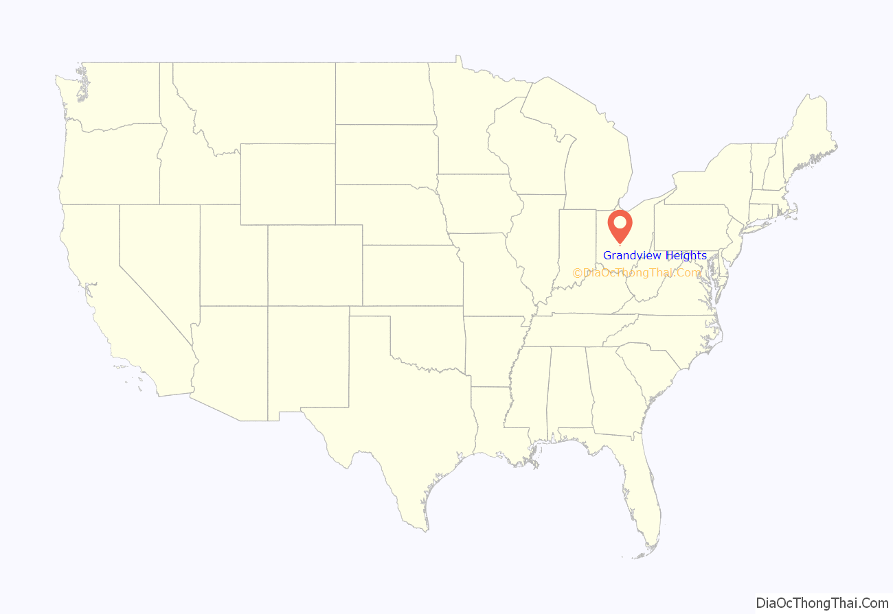
Grandview Heights location map. Where is Grandview Heights city?
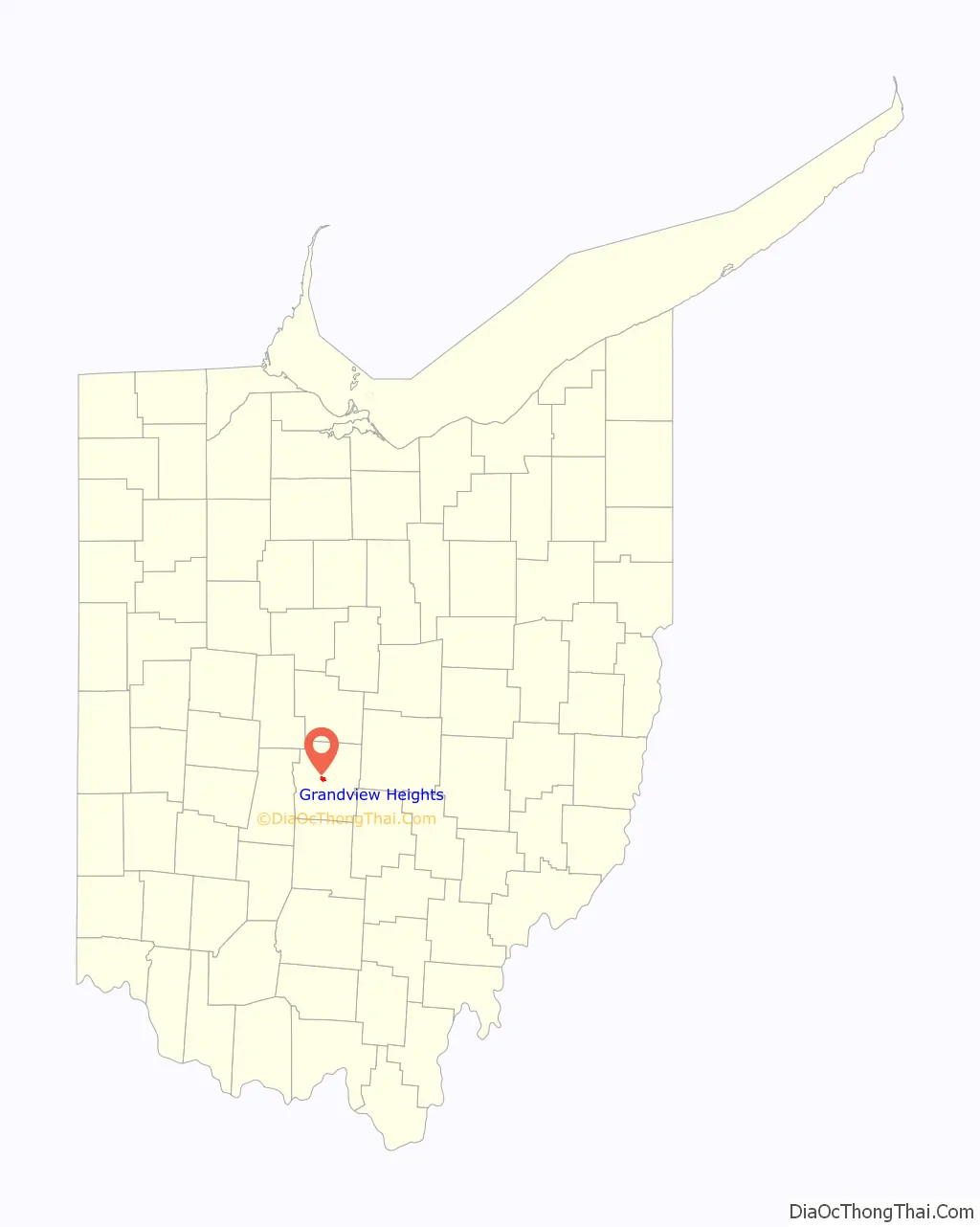
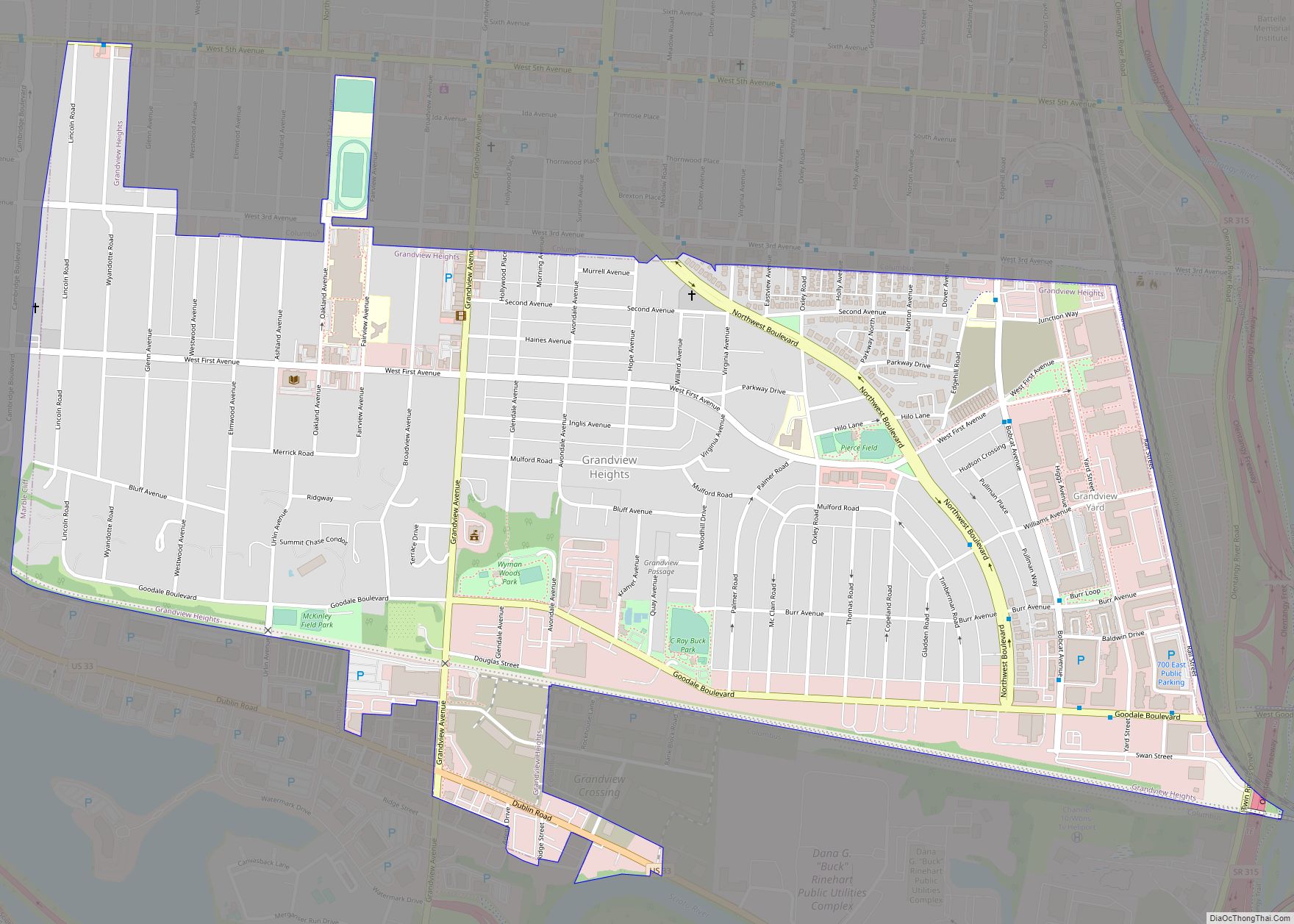
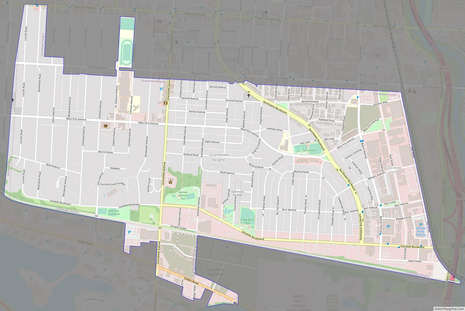
Grandview Heights Road Map
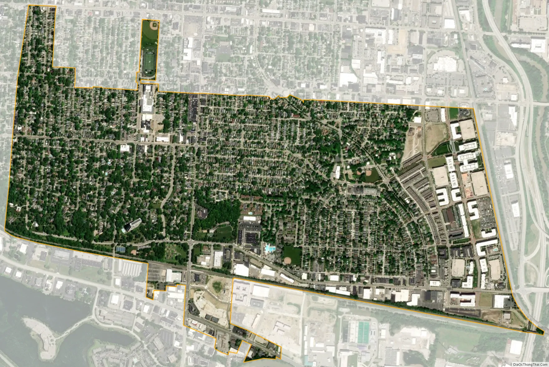
Grandview Heights city Satellite Map
Geography
Grandview Heights is located at 39°58′50″N 83°2′28″W / 39.98056°N 83.04111°W / 39.98056; -83.04111 (39.980564, -83.041027).
According to the United States Census Bureau, the city has a total area of 1.33 square miles (3.44 km), all land.
See also
Map of Ohio State and its subdivision:- Adams
- Allen
- Ashland
- Ashtabula
- Athens
- Auglaize
- Belmont
- Brown
- Butler
- Carroll
- Champaign
- Clark
- Clermont
- Clinton
- Columbiana
- Coshocton
- Crawford
- Cuyahoga
- Darke
- Defiance
- Delaware
- Erie
- Fairfield
- Fayette
- Franklin
- Fulton
- Gallia
- Geauga
- Greene
- Guernsey
- Hamilton
- Hancock
- Hardin
- Harrison
- Henry
- Highland
- Hocking
- Holmes
- Huron
- Jackson
- Jefferson
- Knox
- Lake
- Lake Erie
- Lawrence
- Licking
- Logan
- Lorain
- Lucas
- Madison
- Mahoning
- Marion
- Medina
- Meigs
- Mercer
- Miami
- Monroe
- Montgomery
- Morgan
- Morrow
- Muskingum
- Noble
- Ottawa
- Paulding
- Perry
- Pickaway
- Pike
- Portage
- Preble
- Putnam
- Richland
- Ross
- Sandusky
- Scioto
- Seneca
- Shelby
- Stark
- Summit
- Trumbull
- Tuscarawas
- Union
- Van Wert
- Vinton
- Warren
- Washington
- Wayne
- Williams
- Wood
- Wyandot
- Alabama
- Alaska
- Arizona
- Arkansas
- California
- Colorado
- Connecticut
- Delaware
- District of Columbia
- Florida
- Georgia
- Hawaii
- Idaho
- Illinois
- Indiana
- Iowa
- Kansas
- Kentucky
- Louisiana
- Maine
- Maryland
- Massachusetts
- Michigan
- Minnesota
- Mississippi
- Missouri
- Montana
- Nebraska
- Nevada
- New Hampshire
- New Jersey
- New Mexico
- New York
- North Carolina
- North Dakota
- Ohio
- Oklahoma
- Oregon
- Pennsylvania
- Rhode Island
- South Carolina
- South Dakota
- Tennessee
- Texas
- Utah
- Vermont
- Virginia
- Washington
- West Virginia
- Wisconsin
- Wyoming