Granville is a village in Licking County, Ohio, United States. The population was 5,646 at the 2010 census. The village is located in a rural area of rolling hills in central Ohio. It is 35 miles (56 km) east of Columbus, the state capital, and 7 miles (11 km) west of Newark, the county seat.
Granville is home to Denison University. The village has a number of historic buildings, including Greek Revival structures like the Avery Downer House, St. Luke’s Episcopal Church (1837) and others. The Buxton Inn (1812), the Granville Inn (1924), Bancroft House (1834) and Bryn Du Mansion are local landmarks.
| Name: | Granville village |
|---|---|
| LSAD Code: | 47 |
| LSAD Description: | village (suffix) |
| State: | Ohio |
| County: | Licking County |
| Elevation: | 958 ft (292 m) |
| Total Area: | 4.86 sq mi (12.58 km²) |
| Land Area: | 4.81 sq mi (12.46 km²) |
| Water Area: | 0.05 sq mi (0.12 km²) |
| Total Population: | 5,946 |
| Population Density: | 1,236.43/sq mi (477.36/km²) |
| ZIP code: | 43023 |
| Area code: | 740 |
| FIPS code: | 3931402 |
| GNISfeature ID: | 1061369 |
| Website: | www.granville.oh.us |
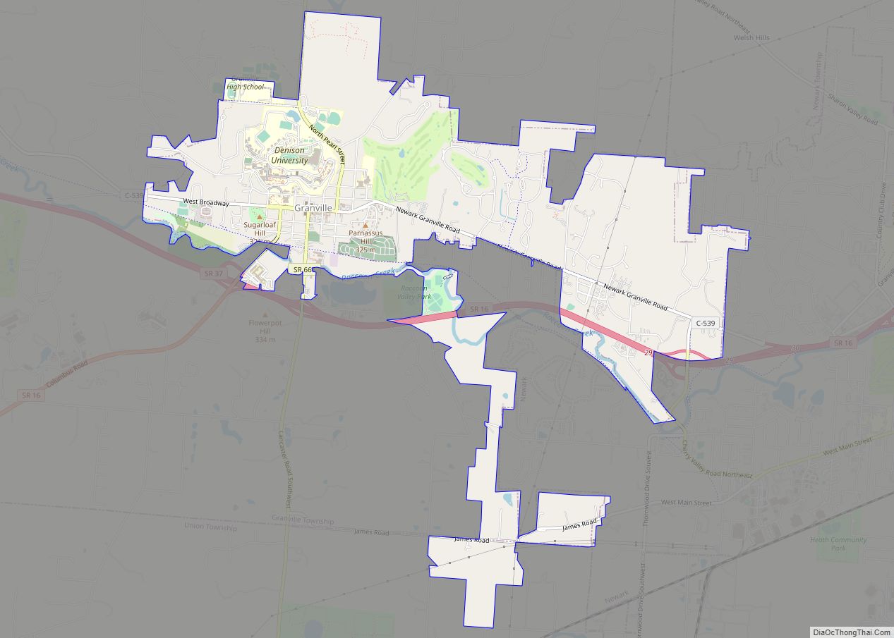
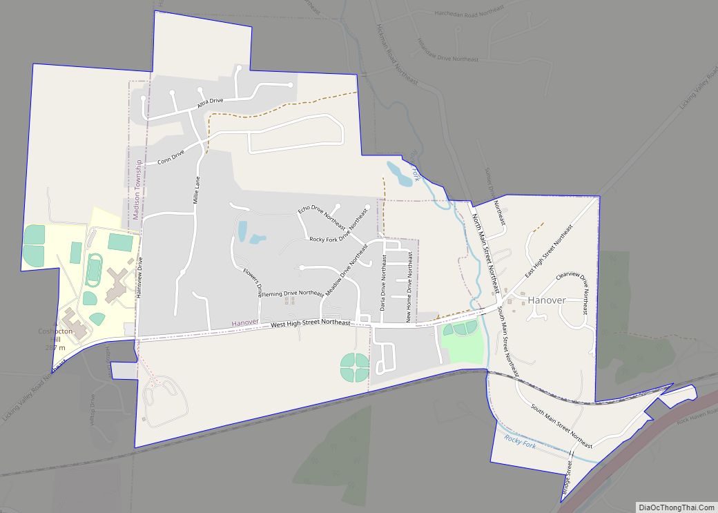
Online Interactive Map
Click on ![]() to view map in "full screen" mode.
to view map in "full screen" mode.
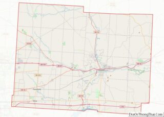
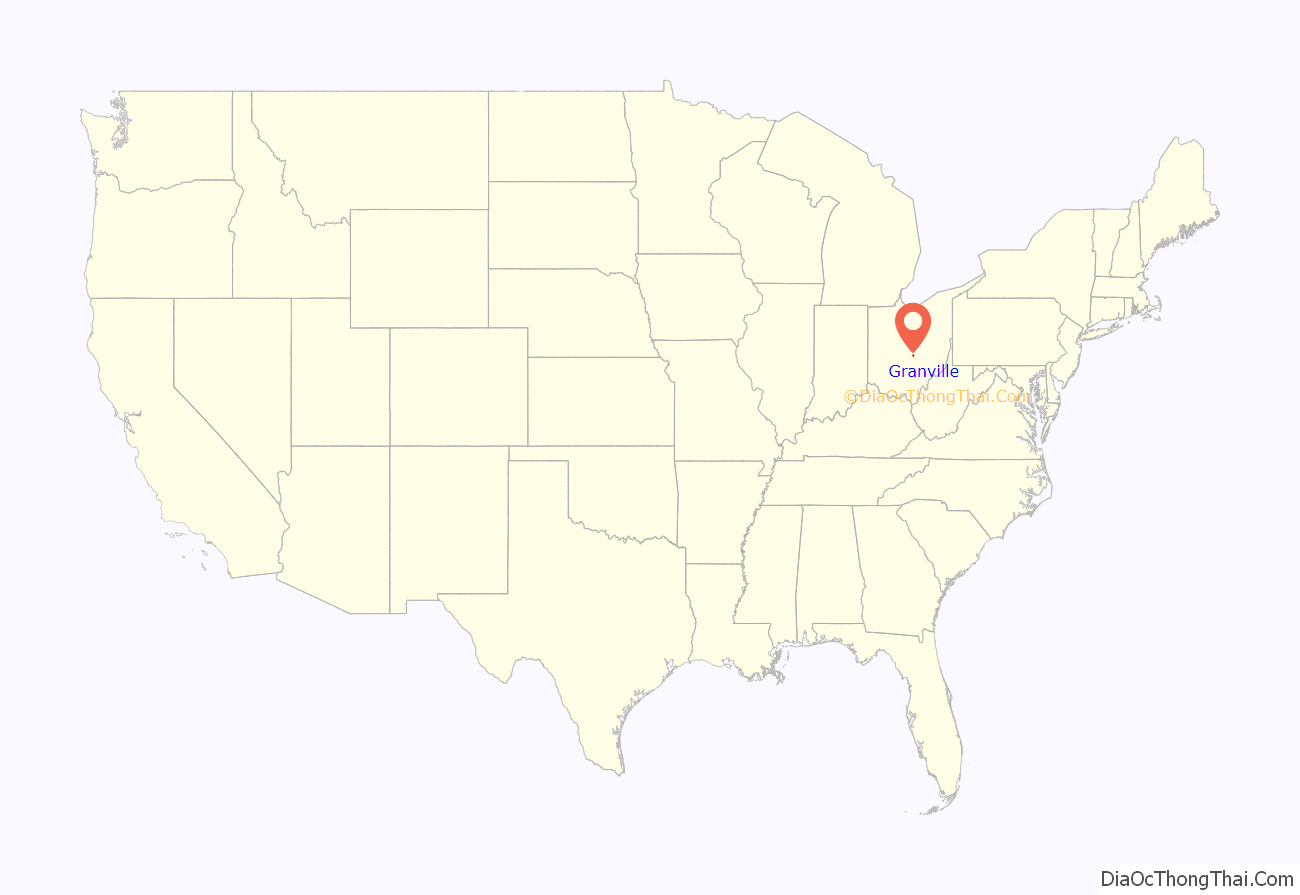
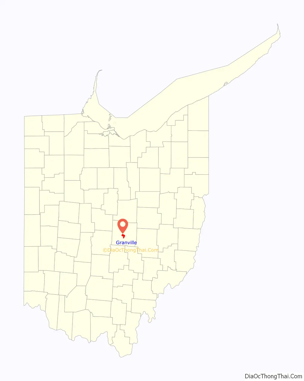
Granville location map. Where is Granville village?
History
Pre-Columbian cultures
Granville is the location of the prehistoric Alligator Effigy Mound, built by the indigenous people of the Fort Ancient culture, between 800 and 1200 CE, more than four hundred years before European contact. It may be an effigy of the underwater panther featured in Native American mythology. The mound is listed on the National Register of Historic Places. The area is rich in evidence of indigenous cultures. Less than five miles from the Alligator Effigy Mound are the impressive Newark Earthworks, associated with the earlier Hopewell culture of roughly 100 BCE to 500 CE.
Pioneer settlers
Granville was not settled by European Americans until 1805; the first large group of settlers were from Granville, Massachusetts, and they named the new village after their former home. The area was first surveyed by United States representatives in 1797, as land set aside by the national government for payment in land grants to veterans who had served in the Revolutionary War.
Among the earliest settlers were Theophilus Rees and Thomas Philipps. Born in Wales, they immigrated to the United States in 1795, and gradually headed west for a new life on the American frontier. They arrived in what is now Granville township in 1802, following a brief time in Philadelphia. Other Welsh settlers followed them, leaving their heritage in numerous place names.
Early schools
Education was a pillar of early civic life. By 1820, the village’s pioneer settlers built a three-story brick school house. By the 1830s they established five schools in the growing village. As the schools were developed through the mid and late 19th century, they began to serve students from the region as well as from the village. Among those institutions were the Granville Literary and Theological Institution, the Granville Female Seminary, the Granville Episcopal Female Seminary, the Young Ladies’ Institute, the Granville Female Academy, Doane Academy (named after one of Denison University‘s earliest and most generous benefactors, William Howard Doane), and Shepardson College for Women. The seminaries generally served first as preparatory schools for college, what were later called high schools. This was a period in which girls’ education was newly stressed, and the village ensured their young women could be educated. Several of these institutions later combined and developed as what is today Denison University.
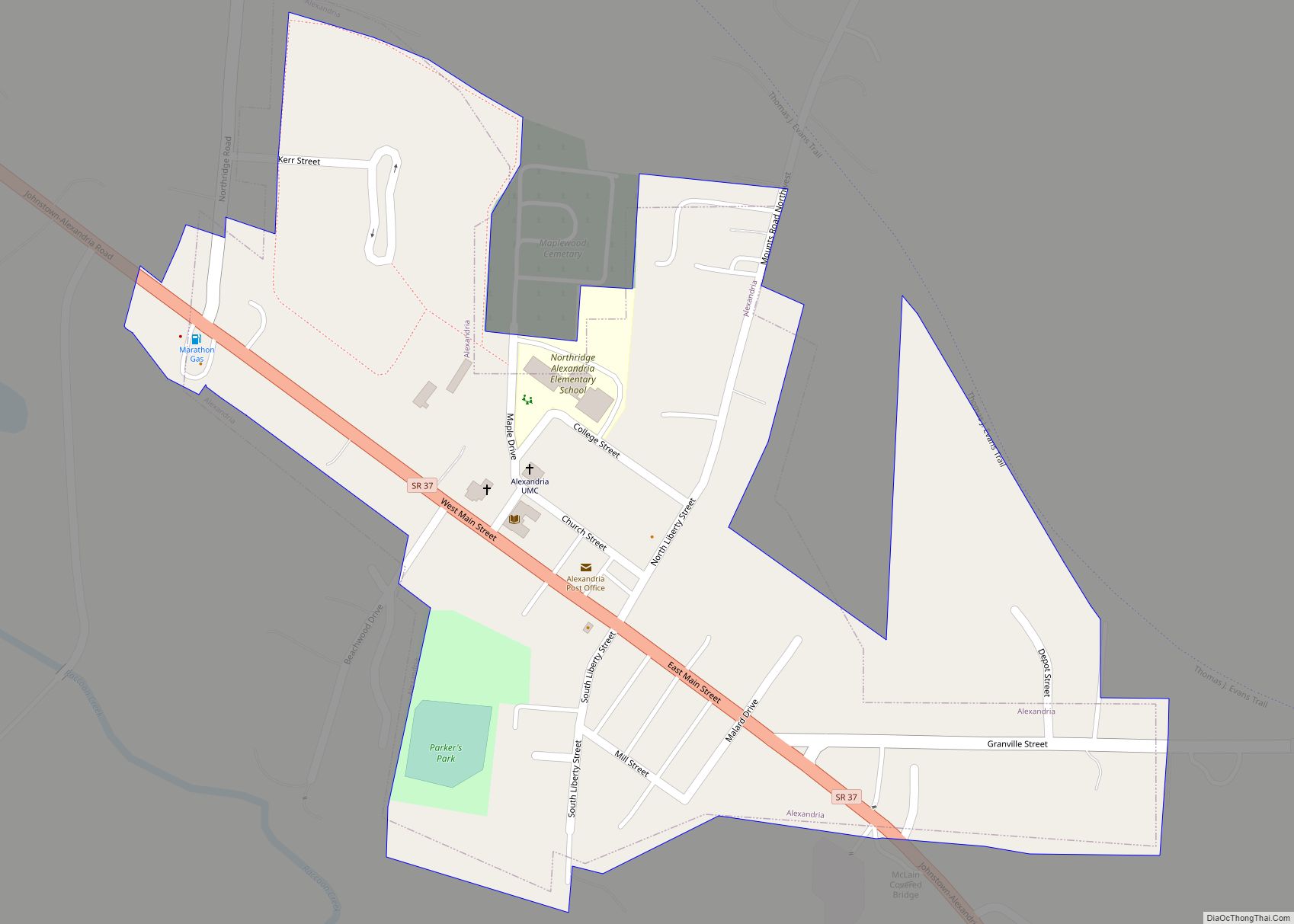
Granville Road Map
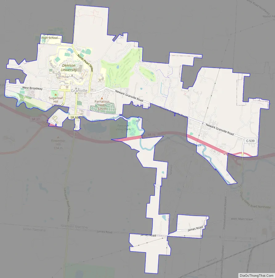
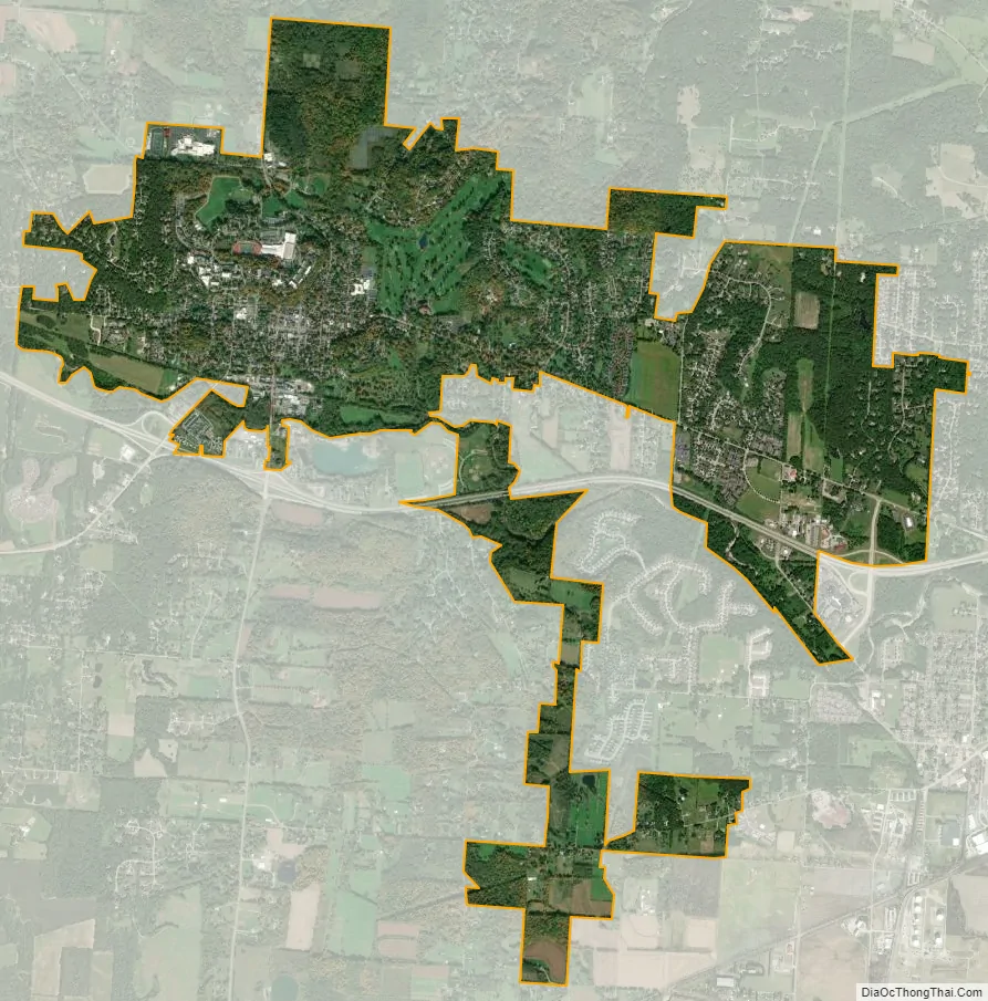
Granville city Satellite Map
Geography
Granville is located at 40°4′3″N 82°30′44″W / 40.06750°N 82.51222°W / 40.06750; -82.51222 (40.067520, -82.512316). According to the United States Census Bureau, the village has a total area of 4.71 square miles (12.20 km), of which 4.68 square miles (12.12 km) is land and 0.03 square miles (0.08 km) is water.
The central village is situated among three prominent hills. College Hill is to the north. Sugarloaf is a prominent hill and park at the west end of Broadway. Mt. Parnassus is another prominent hill and residential area at the east end of Broadway. A short distance south of the village center is the Raccoon Creek flood plain with the creek running from the west to east.
See also
Map of Ohio State and its subdivision:- Adams
- Allen
- Ashland
- Ashtabula
- Athens
- Auglaize
- Belmont
- Brown
- Butler
- Carroll
- Champaign
- Clark
- Clermont
- Clinton
- Columbiana
- Coshocton
- Crawford
- Cuyahoga
- Darke
- Defiance
- Delaware
- Erie
- Fairfield
- Fayette
- Franklin
- Fulton
- Gallia
- Geauga
- Greene
- Guernsey
- Hamilton
- Hancock
- Hardin
- Harrison
- Henry
- Highland
- Hocking
- Holmes
- Huron
- Jackson
- Jefferson
- Knox
- Lake
- Lake Erie
- Lawrence
- Licking
- Logan
- Lorain
- Lucas
- Madison
- Mahoning
- Marion
- Medina
- Meigs
- Mercer
- Miami
- Monroe
- Montgomery
- Morgan
- Morrow
- Muskingum
- Noble
- Ottawa
- Paulding
- Perry
- Pickaway
- Pike
- Portage
- Preble
- Putnam
- Richland
- Ross
- Sandusky
- Scioto
- Seneca
- Shelby
- Stark
- Summit
- Trumbull
- Tuscarawas
- Union
- Van Wert
- Vinton
- Warren
- Washington
- Wayne
- Williams
- Wood
- Wyandot
- Alabama
- Alaska
- Arizona
- Arkansas
- California
- Colorado
- Connecticut
- Delaware
- District of Columbia
- Florida
- Georgia
- Hawaii
- Idaho
- Illinois
- Indiana
- Iowa
- Kansas
- Kentucky
- Louisiana
- Maine
- Maryland
- Massachusetts
- Michigan
- Minnesota
- Mississippi
- Missouri
- Montana
- Nebraska
- Nevada
- New Hampshire
- New Jersey
- New Mexico
- New York
- North Carolina
- North Dakota
- Ohio
- Oklahoma
- Oregon
- Pennsylvania
- Rhode Island
- South Carolina
- South Dakota
- Tennessee
- Texas
- Utah
- Vermont
- Virginia
- Washington
- West Virginia
- Wisconsin
- Wyoming