Grove City is a city in Franklin County, Ohio, United States which was founded in 1852. It is a suburb of Columbus. The population was 41,252 according to the 2020 Census.
| Name: | Grove City city |
|---|---|
| LSAD Code: | 25 |
| LSAD Description: | city (suffix) |
| State: | Ohio |
| County: | Franklin County |
| Elevation: | 850 ft (259 m) |
| Total Area: | 17.79 sq mi (46.07 km²) |
| Land Area: | 17.61 sq mi (45.61 km²) |
| Water Area: | 0.18 sq mi (0.46 km²) |
| Total Population: | 41,252 |
| Population Density: | 2,342.53/sq mi (904.47/km²) |
| ZIP code: | 43123 |
| Area code: | 614 and 380 |
| FIPS code: | 3932592 |
| GNISfeature ID: | 1048806 |
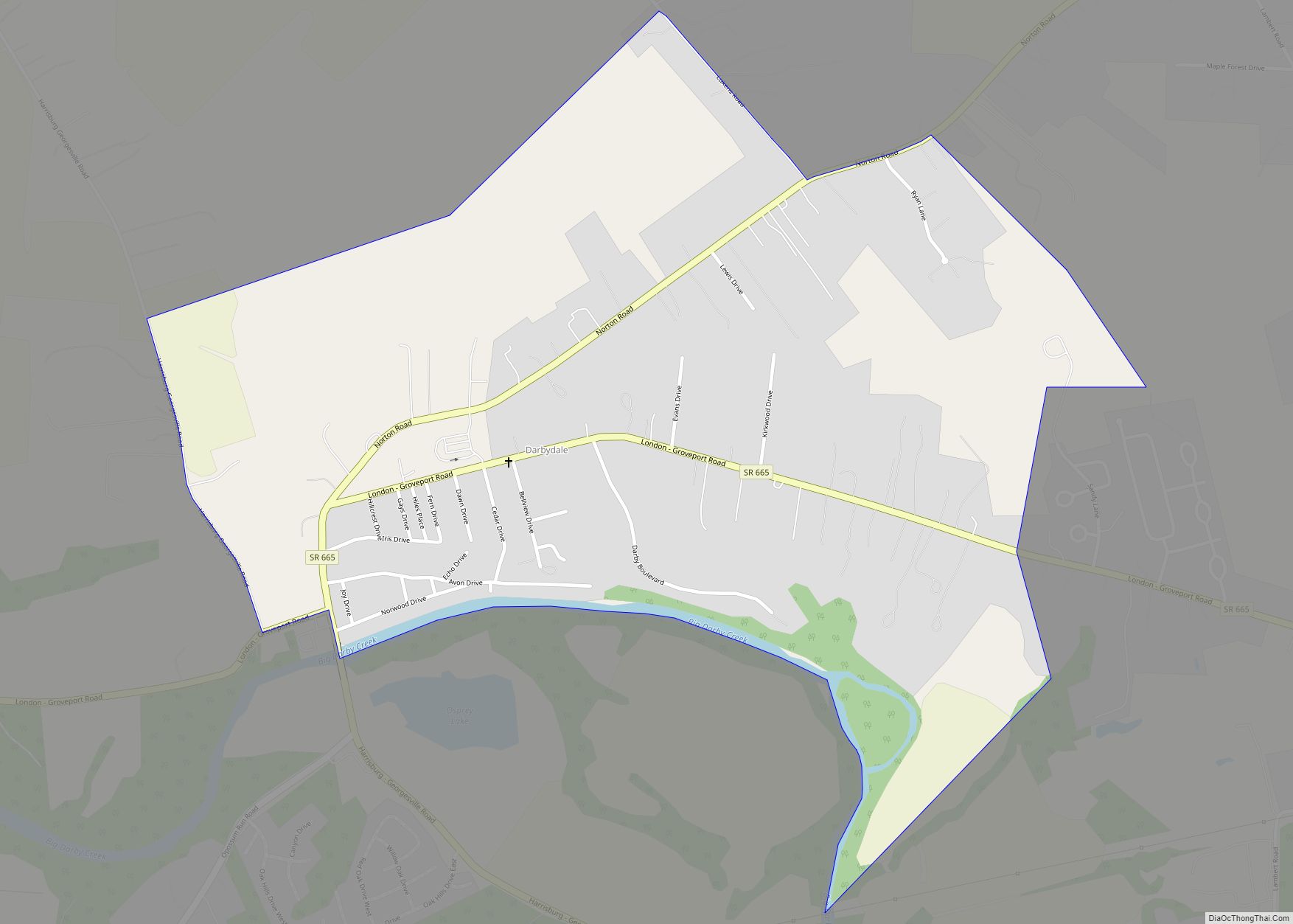
Online Interactive Map
Click on ![]() to view map in "full screen" mode.
to view map in "full screen" mode.
Grove City location map. Where is Grove City city?


History
Until the mid-19th century, the area that is now Grove City was a wilderness filled with oak, beech, maple, walnut, dogwood and other trees. The area’s first European settler, Hugh Grant, operated a gristmill in Pittsburgh and transported excess goods down the Ohio River for sale, returning to Pittsburgh on foot. On one of these trips, he passed through the Scioto Valley region and in 1803, purchased the land that would become Grove City and returned with his wife Catharine to start a new life.
Grove City’s official founder, William F. Breck, bought 15.25 acres of the farm owned by Hugh Grant, Jr., son of the first settler in Jackson Township, then added 300 more acres intended for farming. Breck’s original plan changed when he realized the potential for growth since Harrisburg Turnpike passed through the area to the state capital, Columbus. Breck envisioned a new village complete with a school, church, stores, blacksmith and carpenter shops. Breck formed a commission with George Weygandt, William Sibray and Jeremiah Smith and platted the village on the east side of Broadway in 1852.
By December 1853, the newly formed (but not yet incorporated) village of Grove City had 50 residents. The town founders named the village for the remaining groves of trees left standing after their initial clearing.
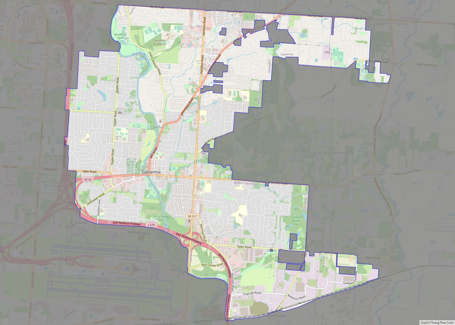
Grove City Road Map

Grove City city Satellite Map

Geography
Grove City is located at 39°52′41″N 83°04′41″W / 39.878030°N 83.078157°W / 39.878030; -83.078157.
According to the United States Census Bureau, the city has a total area of 16.36 square miles (42.37 km), of which 16.20 square miles (41.96 km) is land and 0.16 square miles (0.41 km) is water.
See also
Map of Ohio State and its subdivision:- Adams
- Allen
- Ashland
- Ashtabula
- Athens
- Auglaize
- Belmont
- Brown
- Butler
- Carroll
- Champaign
- Clark
- Clermont
- Clinton
- Columbiana
- Coshocton
- Crawford
- Cuyahoga
- Darke
- Defiance
- Delaware
- Erie
- Fairfield
- Fayette
- Franklin
- Fulton
- Gallia
- Geauga
- Greene
- Guernsey
- Hamilton
- Hancock
- Hardin
- Harrison
- Henry
- Highland
- Hocking
- Holmes
- Huron
- Jackson
- Jefferson
- Knox
- Lake
- Lake Erie
- Lawrence
- Licking
- Logan
- Lorain
- Lucas
- Madison
- Mahoning
- Marion
- Medina
- Meigs
- Mercer
- Miami
- Monroe
- Montgomery
- Morgan
- Morrow
- Muskingum
- Noble
- Ottawa
- Paulding
- Perry
- Pickaway
- Pike
- Portage
- Preble
- Putnam
- Richland
- Ross
- Sandusky
- Scioto
- Seneca
- Shelby
- Stark
- Summit
- Trumbull
- Tuscarawas
- Union
- Van Wert
- Vinton
- Warren
- Washington
- Wayne
- Williams
- Wood
- Wyandot
- Alabama
- Alaska
- Arizona
- Arkansas
- California
- Colorado
- Connecticut
- Delaware
- District of Columbia
- Florida
- Georgia
- Hawaii
- Idaho
- Illinois
- Indiana
- Iowa
- Kansas
- Kentucky
- Louisiana
- Maine
- Maryland
- Massachusetts
- Michigan
- Minnesota
- Mississippi
- Missouri
- Montana
- Nebraska
- Nevada
- New Hampshire
- New Jersey
- New Mexico
- New York
- North Carolina
- North Dakota
- Ohio
- Oklahoma
- Oregon
- Pennsylvania
- Rhode Island
- South Carolina
- South Dakota
- Tennessee
- Texas
- Utah
- Vermont
- Virginia
- Washington
- West Virginia
- Wisconsin
- Wyoming