Groveport is a city in Franklin County, Ohio, United States. It is a suburb of Columbus. The population was 6,009 at the 2020 census.
Groveport was the hometown of John Solomon Rarey, a 19th-century horse whisperer, and developer of the Rarey technique for rehabilitating horses.
| Name: | Groveport city |
|---|---|
| LSAD Code: | 25 |
| LSAD Description: | city (suffix) |
| State: | Ohio |
| County: | Franklin County |
| Elevation: | 741 ft (226 m) |
| Total Area: | 8.93 sq mi (23.14 km²) |
| Land Area: | 8.71 sq mi (22.55 km²) |
| Water Area: | 0.23 sq mi (0.59 km²) |
| Total Population: | 6,009 |
| Population Density: | 690.13/sq mi (266.45/km²) |
| ZIP code: | 43125, 43195, 43196, 43198, 43199 |
| Area code: | 614 and 380 |
| FIPS code: | 3932606 |
| GNISfeature ID: | 1062797 |
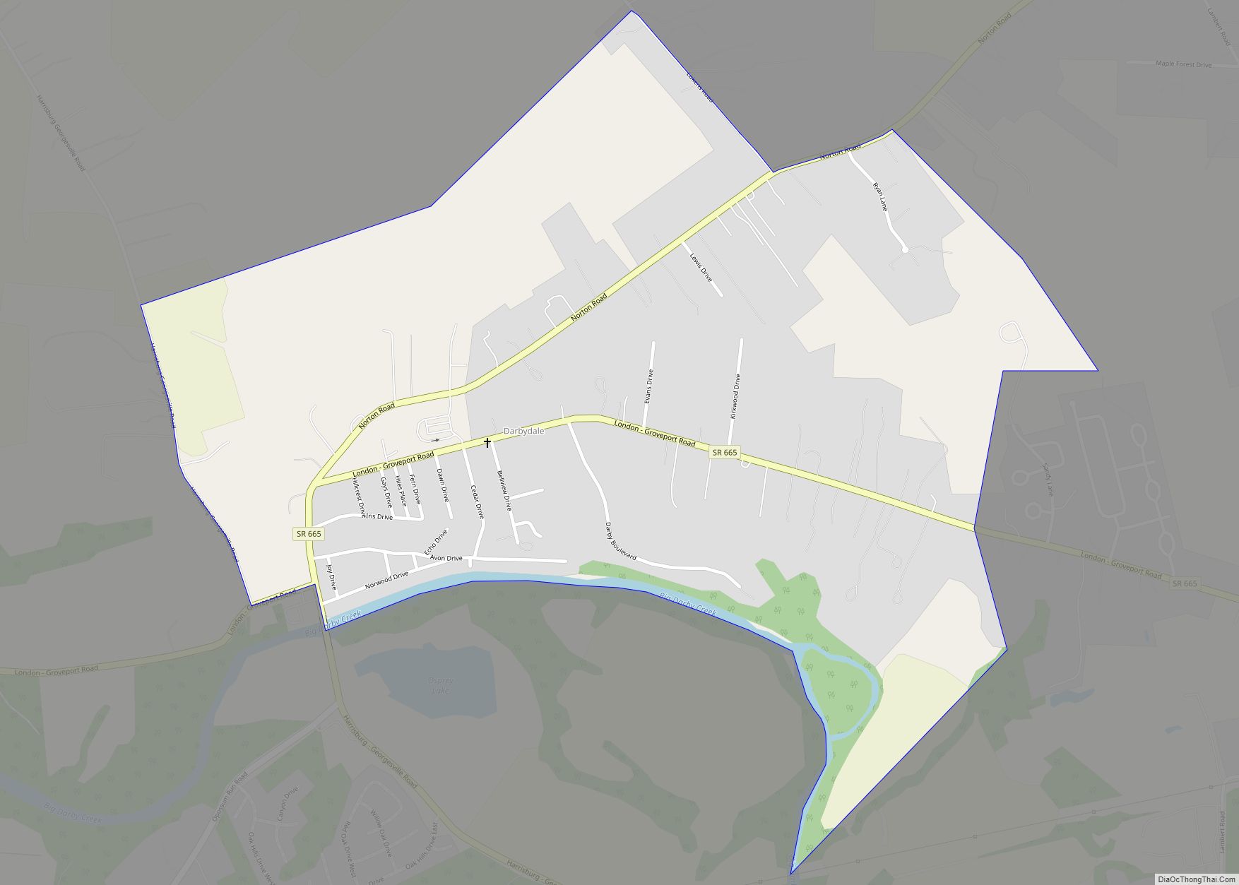
Online Interactive Map
Click on ![]() to view map in "full screen" mode.
to view map in "full screen" mode.
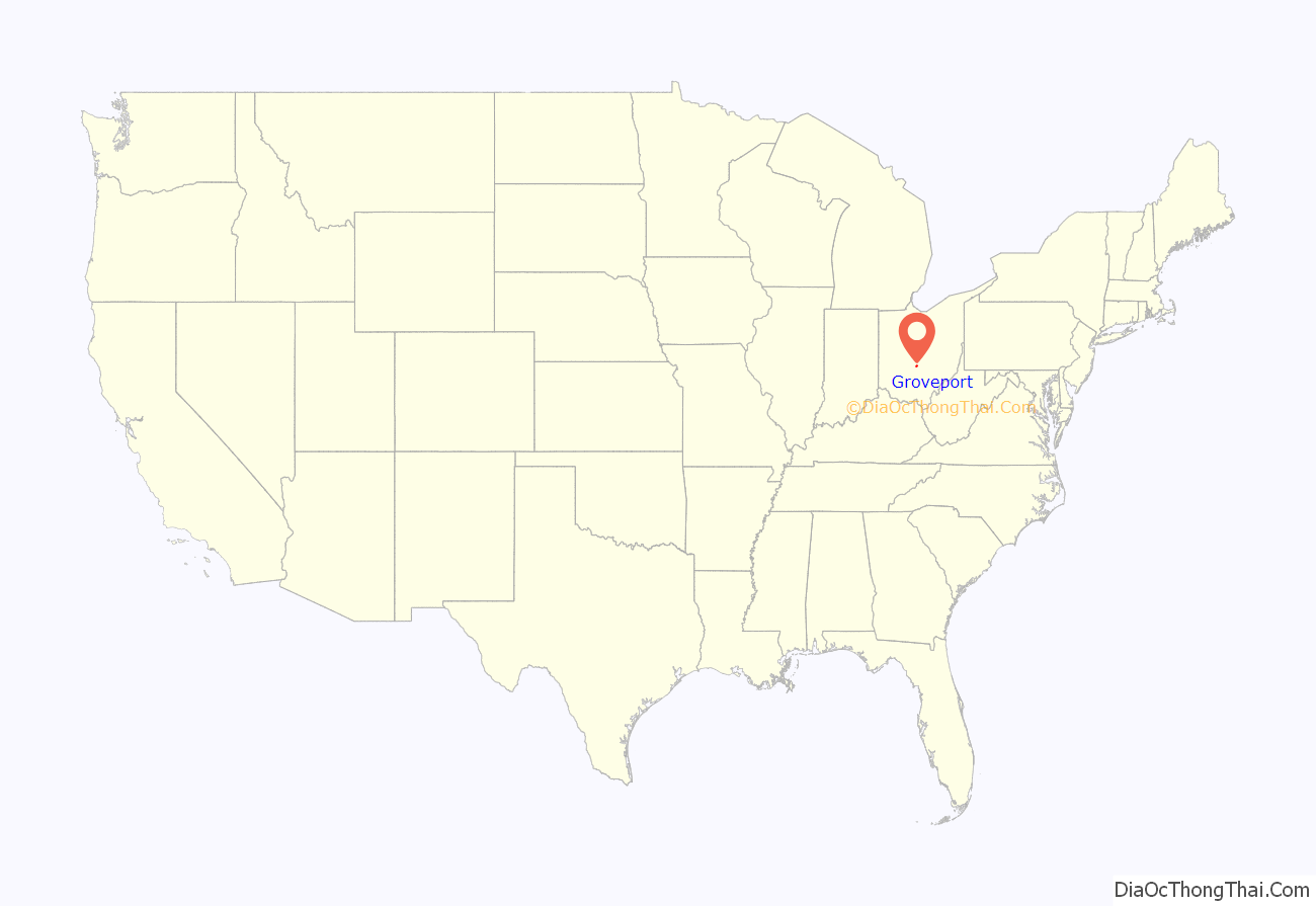
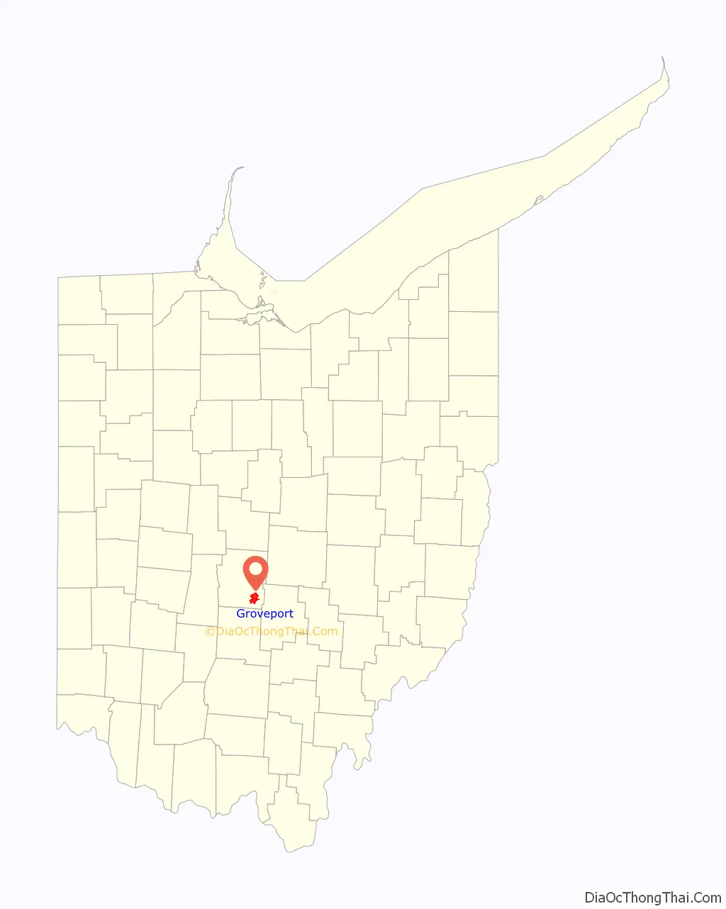
Groveport location map. Where is Groveport city?
History
Groveport had its start as a single entity in 1846 when the neighboring rival towns of Wert’s Grove and Rareysport merged. These towns were located along the Ohio-Erie Canal. The city was incorporated as a village in 1847. A post office called Groveport has been in operation since 1847. The city is the location of the Groveport Log House, which was built in 1815 and moved in 1974 to a location near Groveport Cemetery.
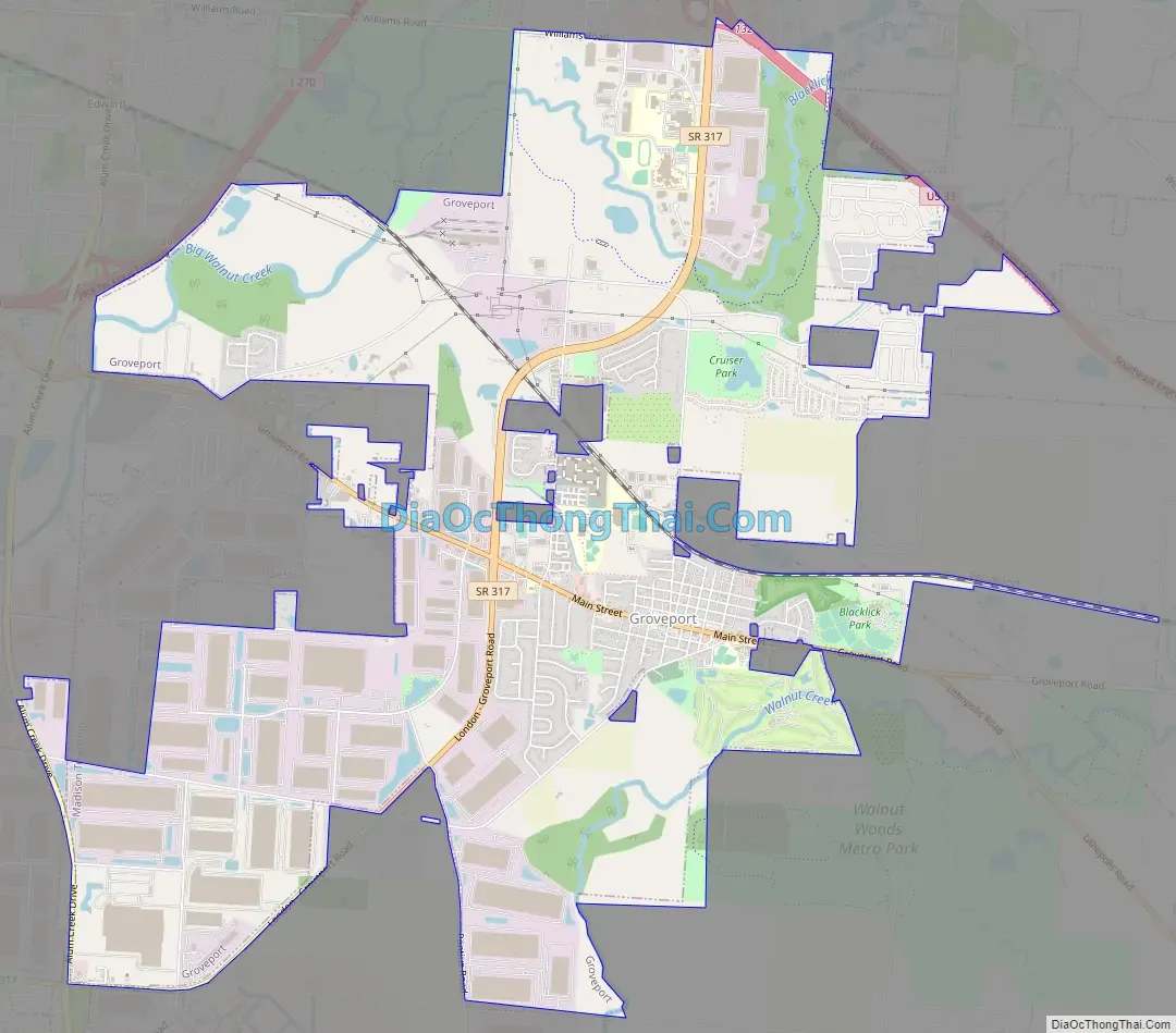
Groveport Road Map
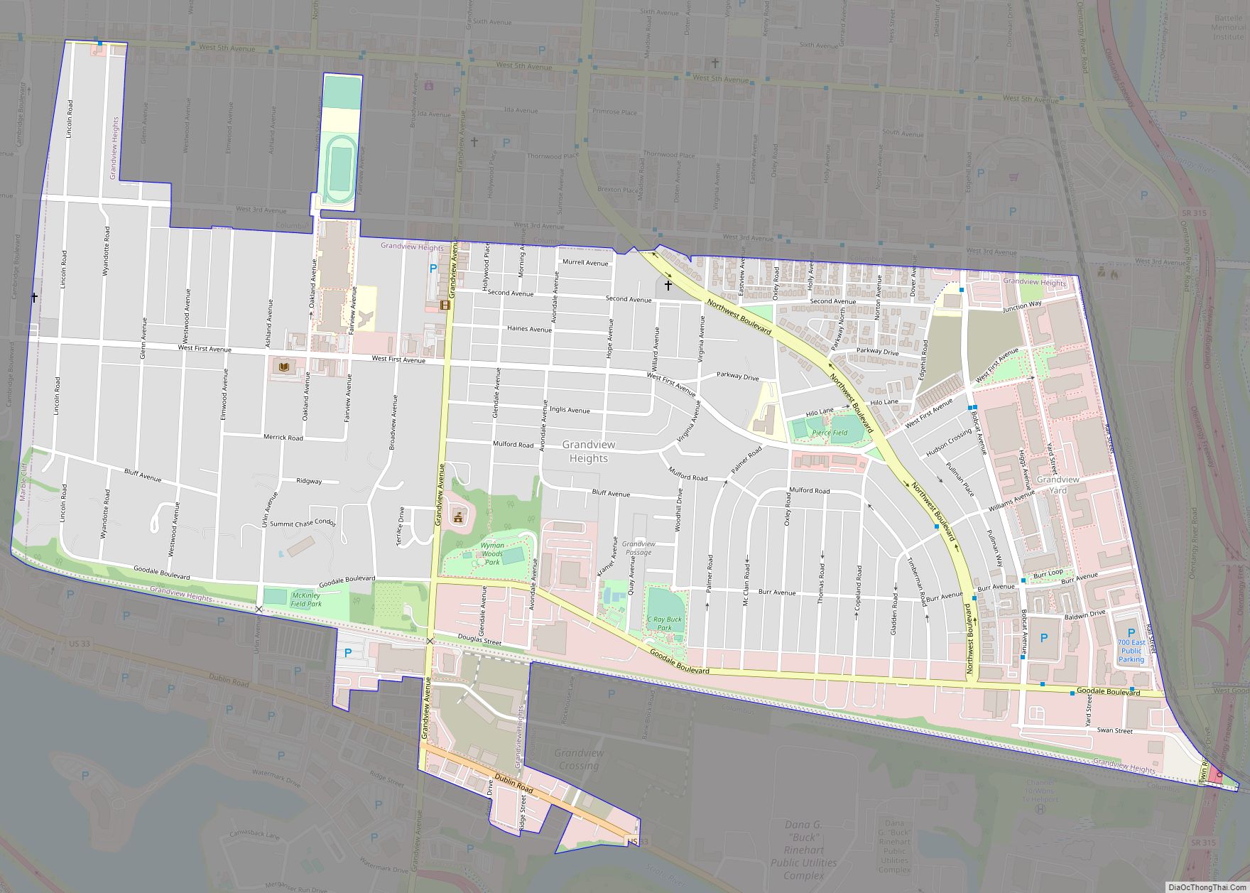
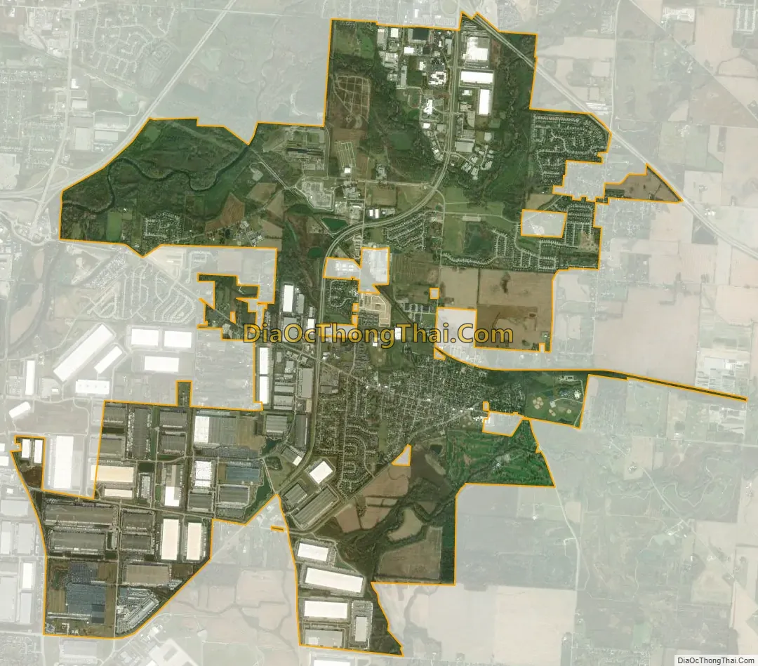
Groveport city Satellite Map
Geography
Groveport is located at 39°51′22″N 82°53′26″W / 39.85611°N 82.89056°W / 39.85611; -82.89056 (39.856163, -82.890544).
According to the United States Census Bureau, the city has a total area of 8.79 square miles (22.77 km), of which 8.56 square miles (22.17 km) is land and 0.23 square miles (0.60 km) is water.
See also
Map of Ohio State and its subdivision:- Adams
- Allen
- Ashland
- Ashtabula
- Athens
- Auglaize
- Belmont
- Brown
- Butler
- Carroll
- Champaign
- Clark
- Clermont
- Clinton
- Columbiana
- Coshocton
- Crawford
- Cuyahoga
- Darke
- Defiance
- Delaware
- Erie
- Fairfield
- Fayette
- Franklin
- Fulton
- Gallia
- Geauga
- Greene
- Guernsey
- Hamilton
- Hancock
- Hardin
- Harrison
- Henry
- Highland
- Hocking
- Holmes
- Huron
- Jackson
- Jefferson
- Knox
- Lake
- Lake Erie
- Lawrence
- Licking
- Logan
- Lorain
- Lucas
- Madison
- Mahoning
- Marion
- Medina
- Meigs
- Mercer
- Miami
- Monroe
- Montgomery
- Morgan
- Morrow
- Muskingum
- Noble
- Ottawa
- Paulding
- Perry
- Pickaway
- Pike
- Portage
- Preble
- Putnam
- Richland
- Ross
- Sandusky
- Scioto
- Seneca
- Shelby
- Stark
- Summit
- Trumbull
- Tuscarawas
- Union
- Van Wert
- Vinton
- Warren
- Washington
- Wayne
- Williams
- Wood
- Wyandot
- Alabama
- Alaska
- Arizona
- Arkansas
- California
- Colorado
- Connecticut
- Delaware
- District of Columbia
- Florida
- Georgia
- Hawaii
- Idaho
- Illinois
- Indiana
- Iowa
- Kansas
- Kentucky
- Louisiana
- Maine
- Maryland
- Massachusetts
- Michigan
- Minnesota
- Mississippi
- Missouri
- Montana
- Nebraska
- Nevada
- New Hampshire
- New Jersey
- New Mexico
- New York
- North Carolina
- North Dakota
- Ohio
- Oklahoma
- Oregon
- Pennsylvania
- Rhode Island
- South Carolina
- South Dakota
- Tennessee
- Texas
- Utah
- Vermont
- Virginia
- Washington
- West Virginia
- Wisconsin
- Wyoming